The best running trails around Montboudif
4.8
(12)
495
runners
55
runs
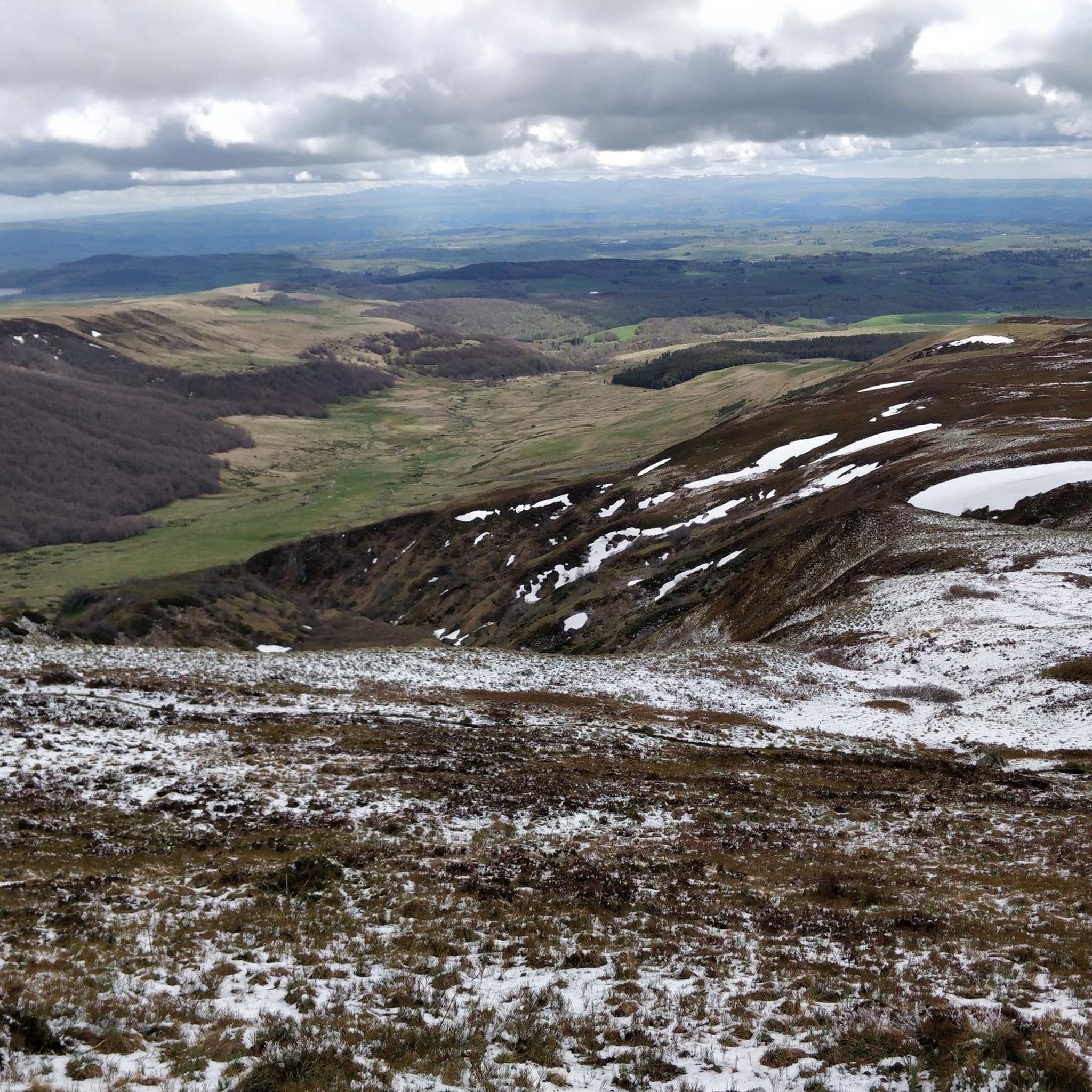
Jogging routes around Montboudif traverse the heart of the Cantal department, set within the Auvergne Volcanoes Regional Nature Park. The region features a diverse volcanic terrain, offering varied elevations, from rolling plateaus to more challenging mountainous paths. Runners can explore verdant forests, picturesque valleys, and the unique ecosystems around peat bogs. This landscape provides a range of running experiences amidst natural beauty.
Best jogging routes around Montboudif
- The most popular jogging route is Tour du Lac Crégut, a 3.2…
Last updated: May 18, 2026
4
runners
5.16km
00:37
60m
60m
Moderate run. Good fitness required. Mostly paved surfaces. Suitable for all skill levels.
11
runners
38.4km
04:30
560m
560m
Hard run. Very good fitness required. Mostly paved surfaces. Suitable for all skill levels.

Sign up for free
6
runners
11.2km
01:12
180m
180m
Moderate run. Good fitness required. Mostly paved surfaces. Suitable for all skill levels.
8
runners
11.7km
01:25
180m
180m
Moderate run. Good fitness required. Mostly paved surfaces. Suitable for all skill levels.
5
runners
7.04km
00:49
120m
120m
Moderate run. Good fitness required. Mostly paved surfaces. Suitable for all skill levels.
Get access to more routes and recommendations from other explorers.
Sign up for free
Already have an account?
Our route recommendations are based on thousands of hikes, rides, and runs completed by other people on komoot.
Start today with a free account
Your next adventure awaits.
Login or Signup
Tips from the Community


If you want to enjoy stunning views of the village of Saint-Genès-Champespe and its surroundings, you can hike up to the Saint-Sébastien church, which is perched on a hill overlooking the village. Built in 1907, the church is decorated with a bronze sculpture of a Salers cow, a local breed. From the church you can enjoy a panoramic view of the forests, lakes and mountains of the Auvergne region. You can also see Lake Laspialade and Lake Crégut, two magnificent lakes. It is an ideal place to admire the natural beauty and cultural heritage of Saint-Genès-Champespe.
3
0

The Saint-Austremoine church is a Catholic church erected between the 10th and 11th centuries. A real curiosity, this church is oriented northeast - southwest, unlike the norm which prefers an east-west orientation. Romanesque in style, the church is painted and has many carved capitals. It has been registered as a historical monument since 1969.
0
0

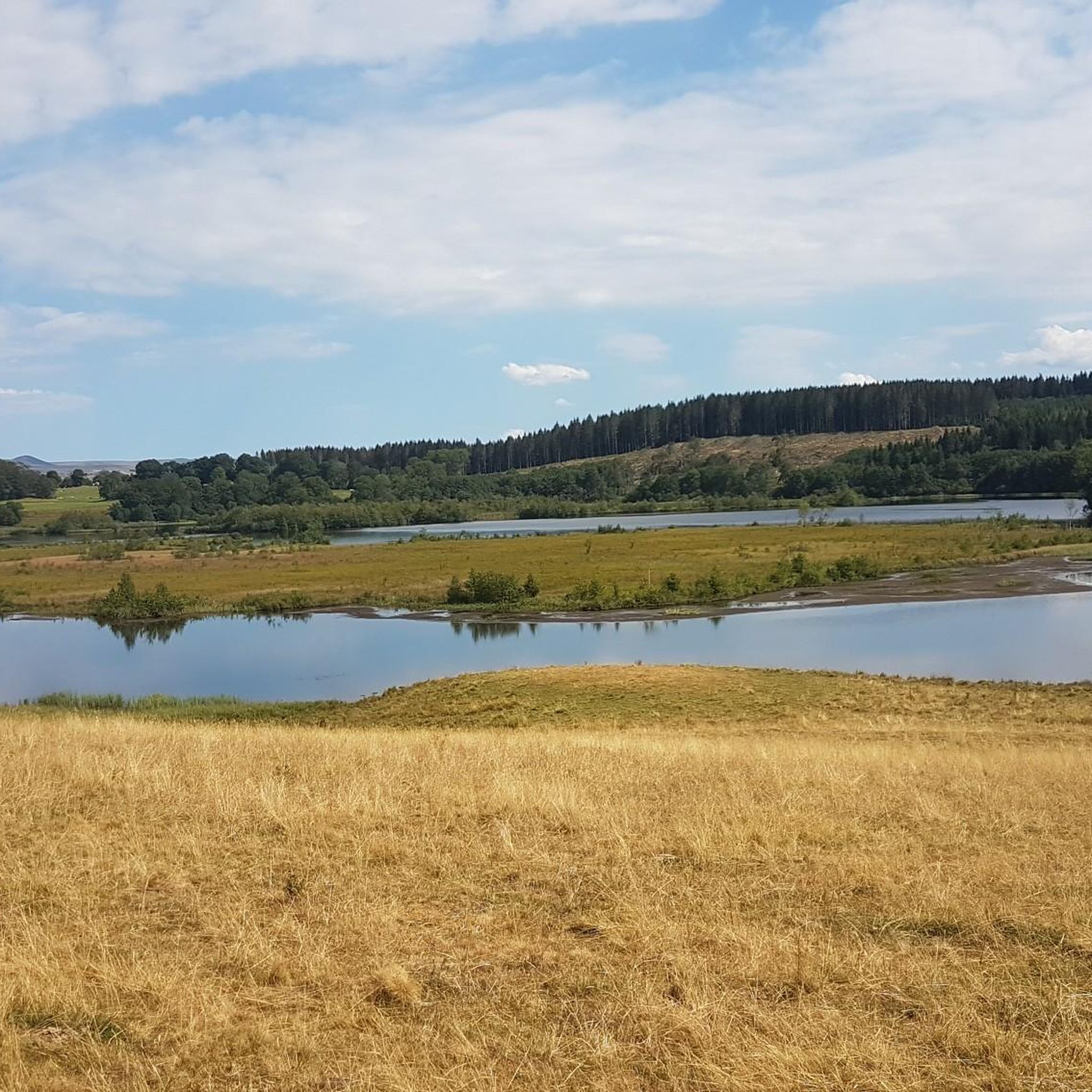
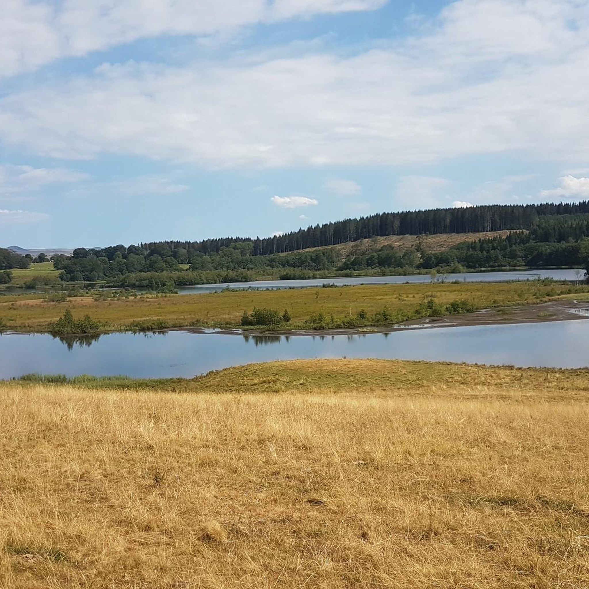
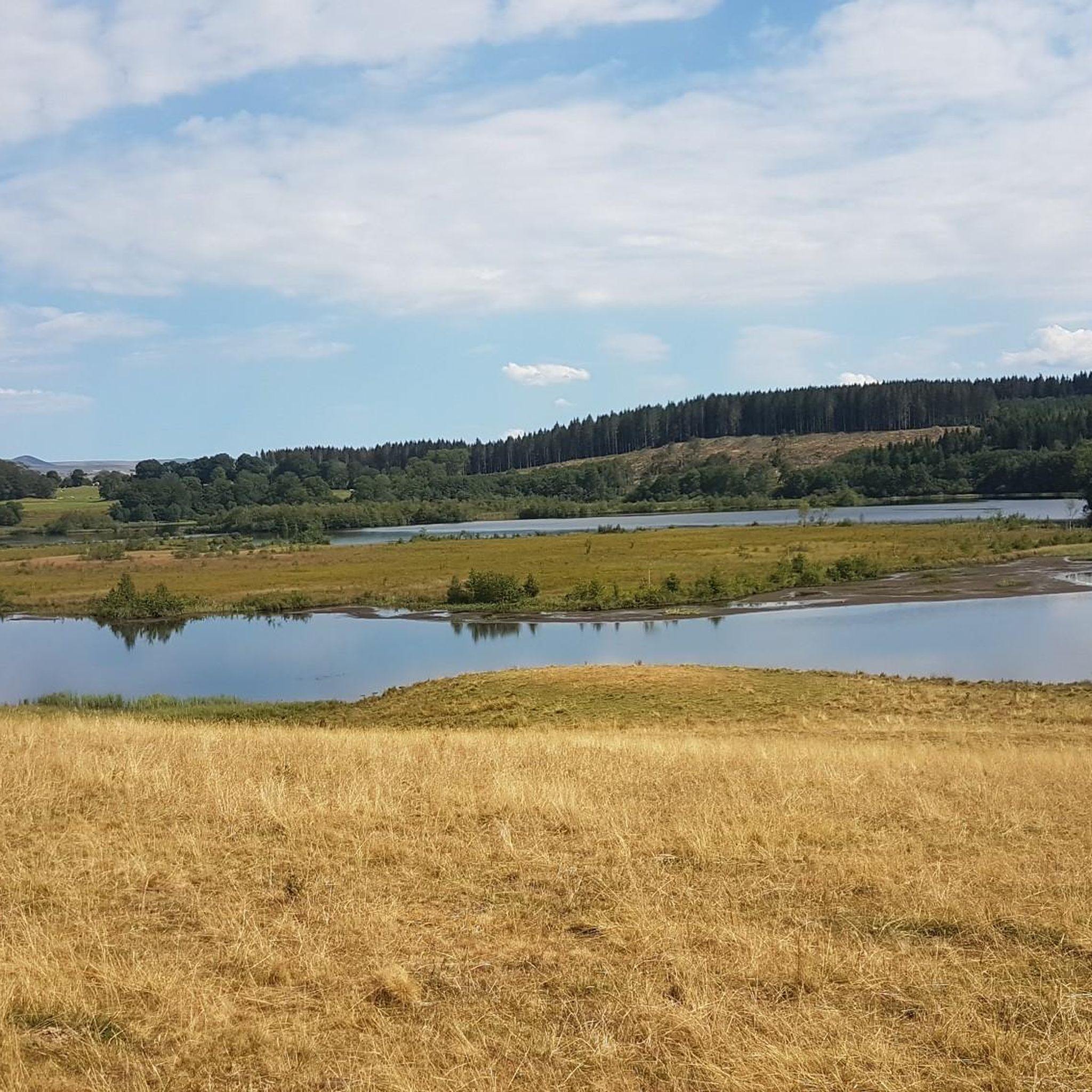
Lac de la Crégut is the largest natural lake of glacial origin in the Massif Central. From its banks, you can enjoy magnificent views of the Monts du Cantal and the surrounding lakes. It is now part of a whole system of reservoirs that supply water to the Rhue hydroelectric power station, at the Bort dam.
0
0
Lac de la Crégut is the largest natural lake of glacial origin in the Massif Central. From its banks, you can enjoy magnificent views of the Cantal mountains and the surrounding lakes. It is now part of a whole system of reservoirs that supply water to the Rhue hydroelectric power station, at the Bort dam.
3
0
Lac du Tact is an artificial lake that flows into Lac de la Crégut via a weir. It is part of a whole system of reservoirs that supply water to the Rhue hydroelectric power station, at the level of the Bort dam.
0
0
These remains are those of an important resistance camp (several thousand men). The site is highlighted by various commemorative and explanatory plaques. At the end of June 1944, clashes took place throughout the sector and other plaques were affixed throughout the town for those who would like to deepen their knowledge.
2
0

A Mecca of the Maquisard resistance, this place is well highlighted with panels explaining the history - the ruins of the headquarters of the maquisards as well as their cars destroyed by the Germans in 1944 are still visible. Warning: the path is difficult to practice and is not very pleasant for mountain biking (in May 2021) since this sector has been partially deforested by large machines. Results: Lots of fallen trees on the path / to step over, and large ruts filled with water at this time. No problem for hiking!
2
0
Frequently Asked Questions
What kind of terrain can I expect on running routes around Montboudif?
The Montboudif region, nestled within the Auvergne Volcanoes Regional Nature Park, offers a diverse volcanic terrain. You'll encounter varied elevations, from rolling plateaus and verdant forests to more challenging mountainous paths. Expect a mix of trails through woods, open fields, and along picturesque valleys and unique ecosystems around peat bogs.
Are there easy running routes suitable for beginners in Montboudif?
Yes, Montboudif offers routes suitable for all levels. While most routes are moderate, there is at least one easy running route available. These typically feature gentler paths through fields and forests, perfect for those new to running or looking for a relaxed jog.
Are there challenging running routes for experienced runners in the Montboudif area?
Absolutely. For experienced runners seeking a challenge, the region provides routes with significant elevation changes, particularly in the surrounding Cantal mountains and plateaus. There are 15 difficult running routes available, offering strenuous training and rewarding views, such as those towards the Plomb du Cantal or Puy Mary.
Are there many circular running routes in the Montboudif area?
Yes, many of the running routes around Montboudif are circular, allowing you to start and finish at the same point. A popular example is the Tour du Lac Crégut, a scenic loop around the lake. Other notable loops include the Lac de la Crégut loop from Saint-Genès-Champespe and the Lac de la Crégut loop from Étang de la Crégut.
What natural attractions can I see along the running routes near Montboudif?
The running routes often pass by beautiful natural features. You can explore areas around Lac Chauvet and Lac de la Crégut. For a stunning sight, some trails might lead you near the Entraigues Waterfall, offering a refreshing break and picturesque views.
Are there any interesting landmarks or points of interest around Montboudif for runners?
Beyond natural beauty, the region offers cultural landmarks. You might pass through charming settlements like Saint-Genès-Champespe or Saint-Bonnet-de-Condat, and see historic religious buildings such as the Saint-Austremoine Church. The Col de Montgreleix (1238 m) also offers a notable point of interest with elevated views.
What do other runners enjoy most about jogging in Montboudif?
The running routes in Montboudif are highly rated by the komoot community, with an average score of 4.7 stars from more than 10 reviews. Runners frequently praise the serene rural setting, the diverse volcanic landscapes, and the extensive network of trails that cater to various ability levels, from easy paths to more challenging mountain routes.
How many running routes are available around Montboudif?
There are over 50 running routes available around Montboudif, offering a wide variety of distances and difficulties. This extensive network ensures options for every runner, from short, easy jogs to long, challenging trail runs.
Are the running trails around Montboudif suitable for families?
Yes, many trails in the Montboudif area are suitable for families. The region offers gentle paths through fields and forests, especially around the lakes, which are ideal for a leisurely run or walk with children. Always check the route's difficulty and length to ensure it matches your family's fitness level.
Can I bring my dog on the running trails in Montboudif?
Generally, dogs are welcome on many outdoor trails in the Auvergne Volcanoes Regional Nature Park, including those around Montboudif. However, it's always recommended to keep your dog on a leash, especially in areas with livestock or protected wildlife. Please respect local signage and regulations regarding pets.
Are there any longer, more challenging running routes for endurance training?
For those looking for longer, more challenging runs, the Montboudif area delivers. The Lake La Crégut – Lake du Tact loop from Escombre is a difficult route spanning over 38 km, offering significant elevation gain and a substantial test of endurance amidst the region's stunning volcanic landscapes.
What is the best time of year for running in Montboudif?
The best time for running in Montboudif is generally from spring to autumn. During these seasons, the weather is milder, and the natural landscapes are vibrant. Summer offers long daylight hours, while spring and autumn provide cooler temperatures and beautiful foliage. Winter running is possible but may require appropriate gear due to snow and colder conditions, especially at higher elevations.
Most popular attractions around Montboudif

Get inspired with the komoot mobile app


Explore more
Browse the best Running Trails & Routes in other regions.
