The best road cycling routes around Magneux-Haute-Rive
4.2
(117)
2,595
riders
334
rides
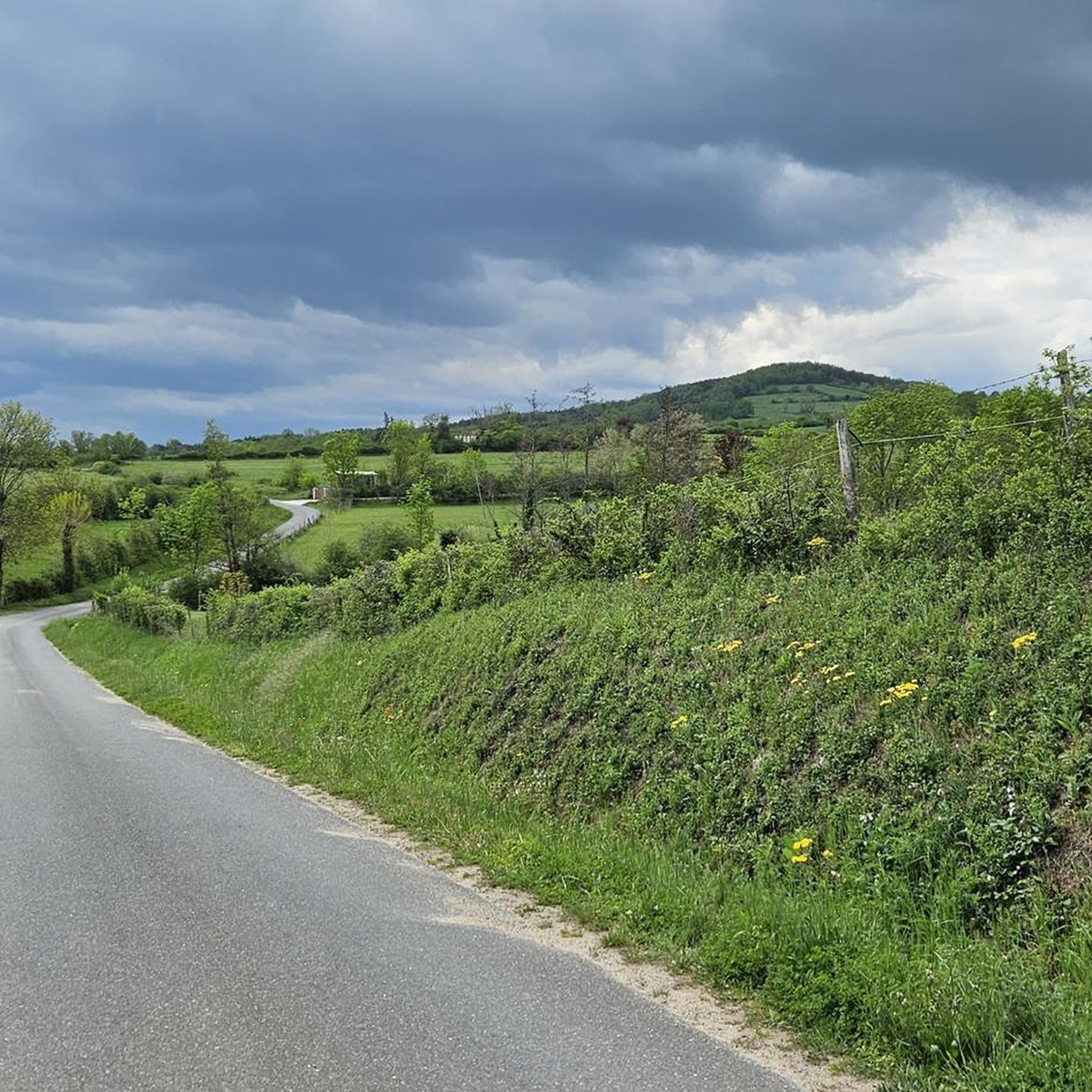
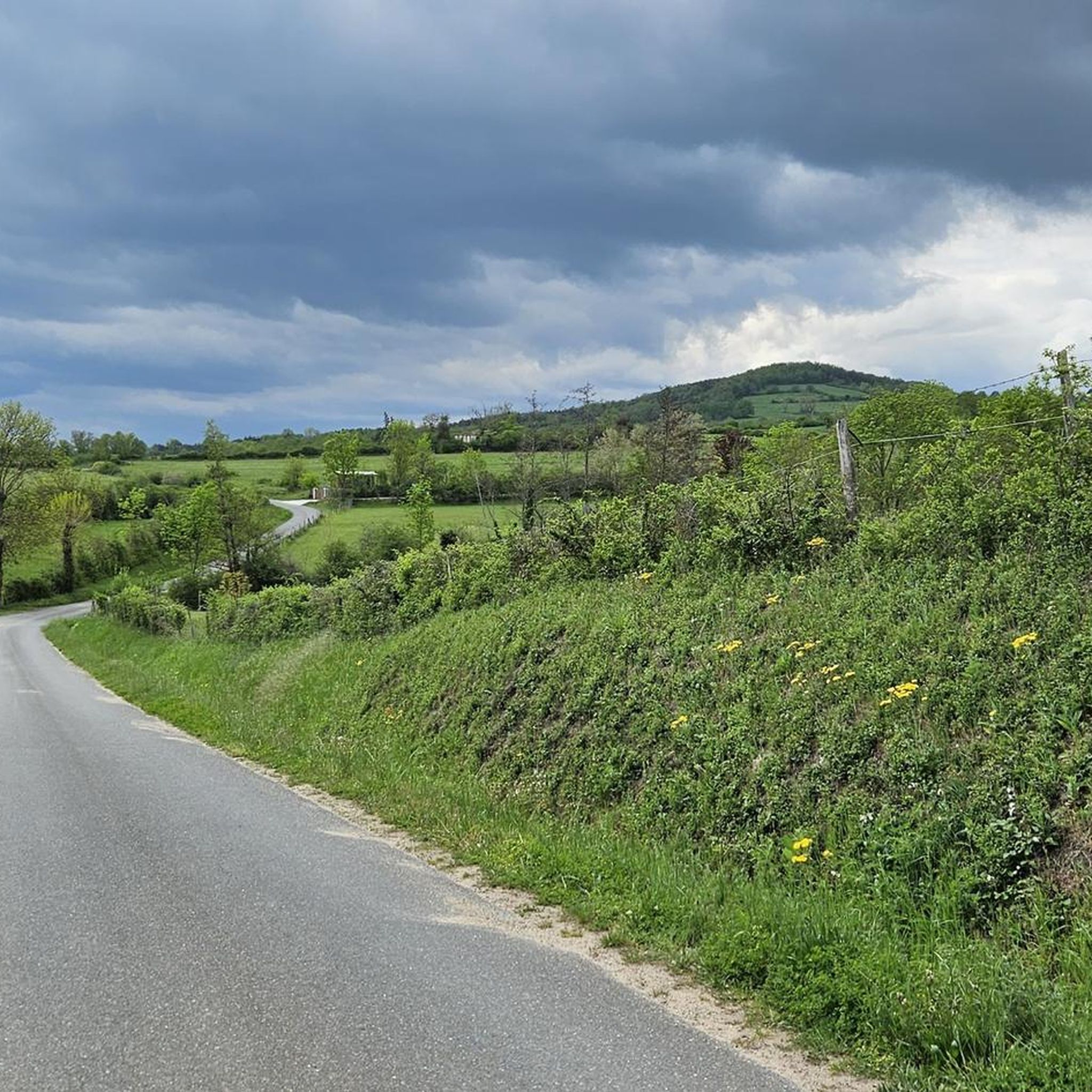
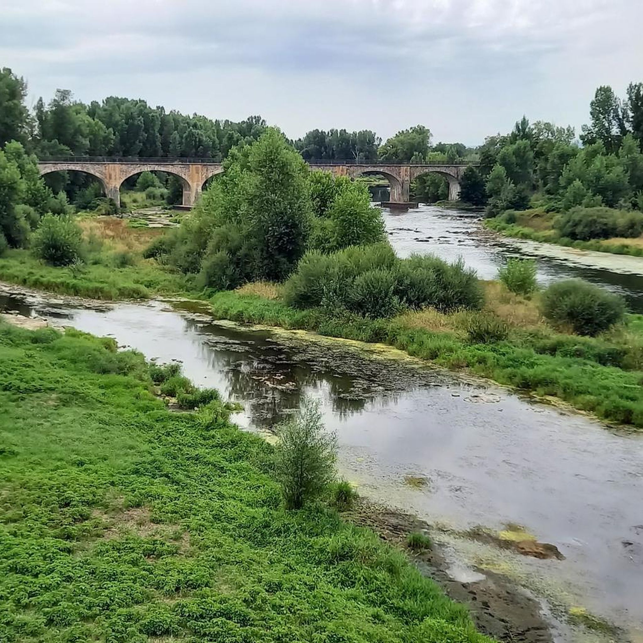
Road cycling routes around Magneux-Haute-Rive are situated in the Forez plain within France's Auvergne-Rhône-Alpes region. The area features agricultural landscapes and moderate elevations, generally ranging from 334 to 389 meters. Its proximity to the Loire River, approximately 10 km from the left bank, offers opportunities for scenic rides along its banks. This setting provides a network of accessible routes suitable for exploring the region's gentle topography.
Best road cycling routes around Magneux-Haute-Rive
- The most popular road cycling route is Saint-Laurent-la-Conche…
Last updated: May 20, 2026
4.8
(4)
13
riders
40.1km
01:38
120m
120m
The ponds of Feurs near the Loire - loop from Montrond-les-Bains is an easy 24.9-mile road cycling route through scenic French countryside.
25
riders
49.9km
02:34
640m
640m
Moderate road ride. Good fitness required. Some segments of this route may be unpaved and difficult to ride.

Sign up for free
26
riders
51.9km
02:42
750m
750m
Moderate road ride. Good fitness required. Some segments of this route may be unpaved and difficult to ride.
10
riders
82.1km
03:51
920m
920m
Hard road ride. Very good fitness required. Some segments of this route may be unpaved and difficult to ride.
3.0
(1)
14
riders
Easy road ride. Great for any fitness level. Mostly well-paved surfaces and easy to ride.
Get access to more routes and recommendations from other explorers.
Sign up for free
Already have an account?
Our route recommendations are based on thousands of hikes, rides, and runs completed by other people on komoot.
Start today with a free account
Your next adventure awaits.
Login or Signup

Tips from the Community

32 km without elevation gain, varied, without any effort
0
0

Montrond-les-Bains is particularly known for its medieval castle and its thermal baths, which attract many visitors looking for well-being and relaxation. In addition to its historical and thermal heritage, Montrond-les-Bains offers a dynamic cultural life with various festivals and events throughout the year. The city is crossed by a magnificent greenway which will delight cyclists!
0
0

asphalt, part on a shared lane on the St André side
0
0

Along the road to Chazelle, a small green setting is offered to nature lovers: the Hurongues lake. This ideal place for a walk and for a family picnic. Swimming is prohibited for the moment but a project is being studied to make this activity authorized in the summer of 2024.
0
0

The road along the Etang des Buillons is both pretty and quiet. There is not much traffic in this direction and the scenery is very pleasant.
1
0


Very nice. Some stairs but very short and some nice but not insurmountable difficulties!
0
0
Frequently Asked Questions
How many road cycling routes are available around Magneux-Haute-Rive?
There are over 300 road cycling routes around Magneux-Haute-Rive, offering a wide range of options for cyclists. These include 52 easy routes, 204 moderate routes, and 71 difficult routes, catering to various skill levels and preferences.
What kind of landscapes can I expect while road cycling in Magneux-Haute-Rive?
Road cycling around Magneux-Haute-Rive primarily takes you through the Forez plain, characterized by its agricultural landscapes and gentle topography. You'll also find opportunities for scenic rides along the Loire River, which is approximately 10 km from the commune, offering picturesque views.
Are there any easy road cycling routes suitable for beginners or a relaxed ride?
Yes, there are several easy routes. A popular choice is the Saint-Laurent-la-Conche and Ponds of Feurs Loop, which is 40.1 km long with minimal elevation gain, winding through the picturesque French countryside.
What are some moderate road cycling routes in the area?
For a moderate challenge, consider The curist trail – Montrond-les-Bains loop from Montrond-les-Bains, a 49.1 km path with varied terrain and some ascents. Another great option is the Hurongues Pond – Panoramic View loop from Montrond-les-Bains, which is 51.9 km and offers panoramic viewpoints across the Forez plain.
Are there any challenging road cycling routes with significant elevation gain?
Yes, for a more challenging ride, you can explore routes like the Hill climb alongside the Loire – Loire Bridge loop from Montrond-les-Bains. This route is 80.1 km long and features nearly 1000 meters of elevation gain, providing a demanding experience with rewarding views.
What historical or cultural attractions can I see along the road cycling routes?
While cycling, you can discover several points of interest. The area features the historic Château de Magneux-Haute-Rive, with parts dating back to the 13th century. You might also encounter local heritage sites like a large, historic lavoir (public wash house) fed by the Canal du Forez, and a renovated pigeonnier (dovecote), characteristic of the region's agricultural history. Nearby highlights include Montverdun Priory and Champdieu Priory.
Are there any specific viewpoints or scenic spots along the routes?
Many routes offer scenic views, particularly those that follow the Loire River or traverse the Forez plain. The Hurongues Pond – Panoramic View loop from Montrond-les-Bains is specifically noted for its panoramic viewpoints. Additionally, the proximity to the Loire River provides opportunities for beautiful riverside vistas, such as those near bords de Loire Rivas-Montrond.
What do other road cyclists think about the routes in Magneux-Haute-Rive?
The road cycling routes in Magneux-Haute-Rive are highly regarded by the komoot community, with an average rating of 4.1 out of 5 stars from over 135 reviews. More than 3,000 road cyclists have explored the varied terrain, often praising the picturesque agricultural landscapes and the accessible network of routes.
Are there any long-distance road cycling options available?
Yes, there are longer routes for those seeking extended rides. For instance, the Greenway – Montrond-les-Bains loop from Montrond-les-Bains covers approximately 80.2 km, offering a substantial distance through varied terrain.
What is the general elevation profile for road cycling in this region?
The region around Magneux-Haute-Rive, situated in the Forez plain, generally features moderate elevations ranging from 334 to 389 meters. While many routes offer gentle topography, some, particularly the more difficult ones, include significant ascents, such as the nearly 1000 meters of elevation gain on the Hill climb alongside the Loire – Loire Bridge loop from Montrond-les-Bains.
Are there any circular road cycling routes?
Yes, many of the routes in the area are designed as loops, allowing you to start and end at the same point. Examples include the Saint-Laurent-la-Conche and Ponds of Feurs Loop and the The curist trail – Montrond-les-Bains loop from Montrond-les-Bains, providing convenient circular options for your ride.
Most popular routes around Magneux-Haute-Rive
Most popular attractions around Magneux-Haute-Rive

Get inspired with the komoot mobile app


Explore more
Browse the best Road cycling routes in other regions.
