The best road cycling routes around Gumières
4.4
(26)
655
riders
42
rides
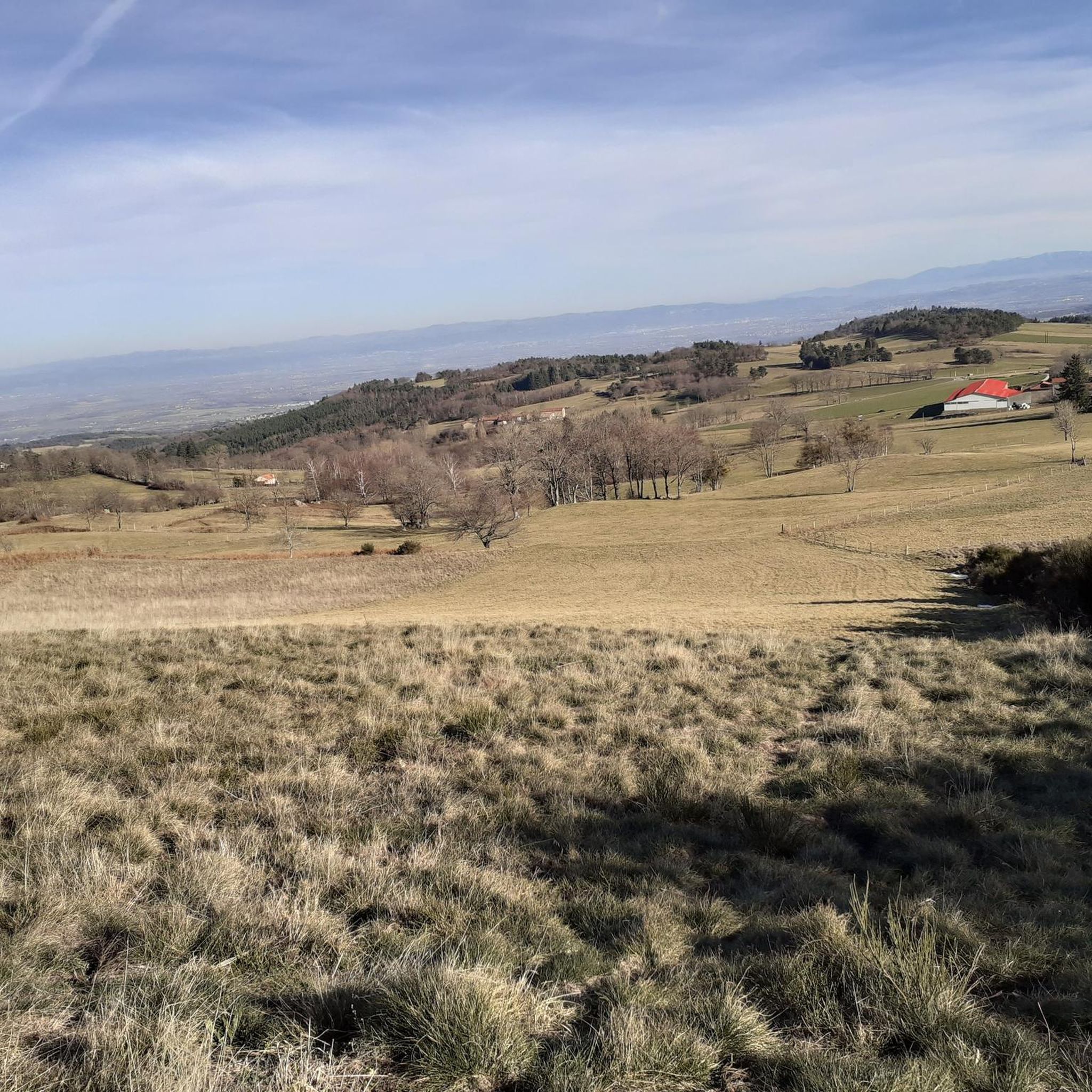
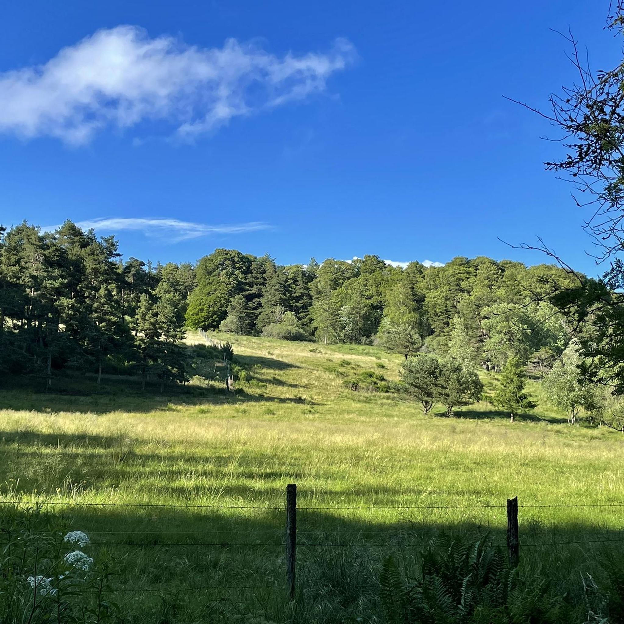
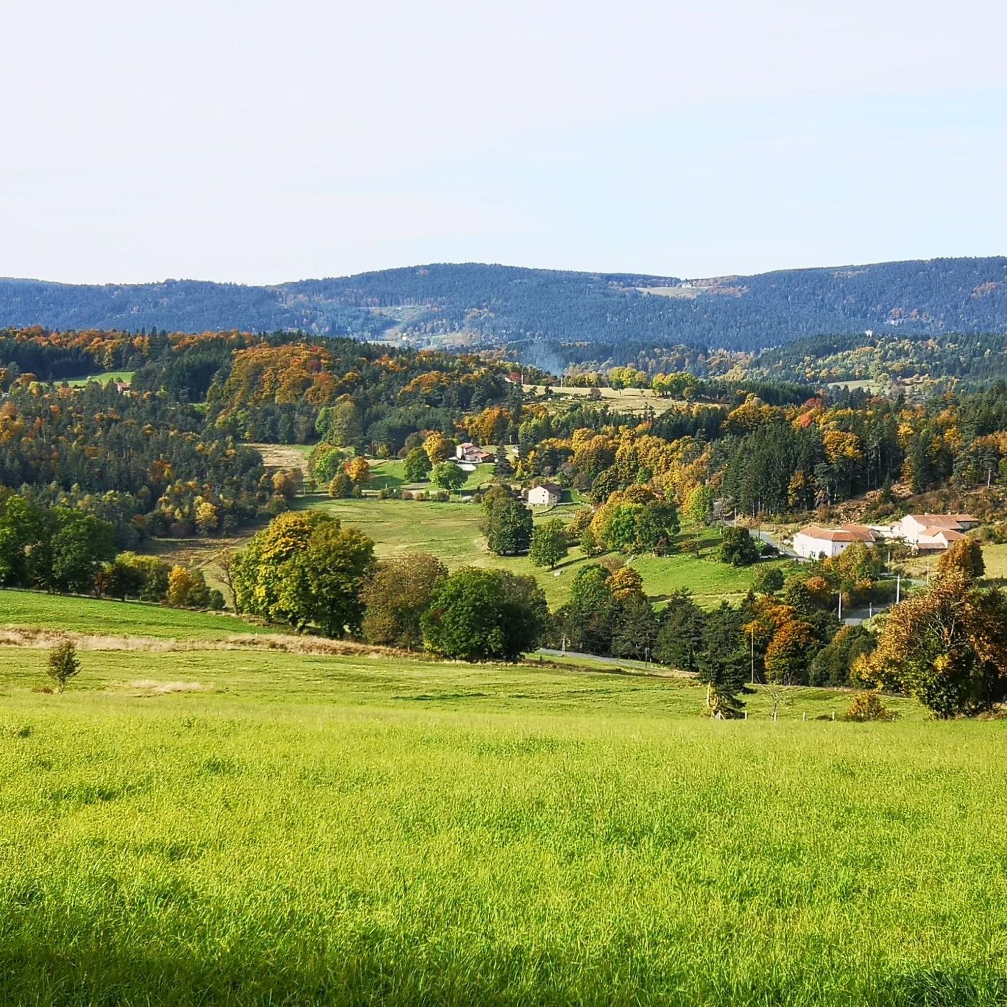
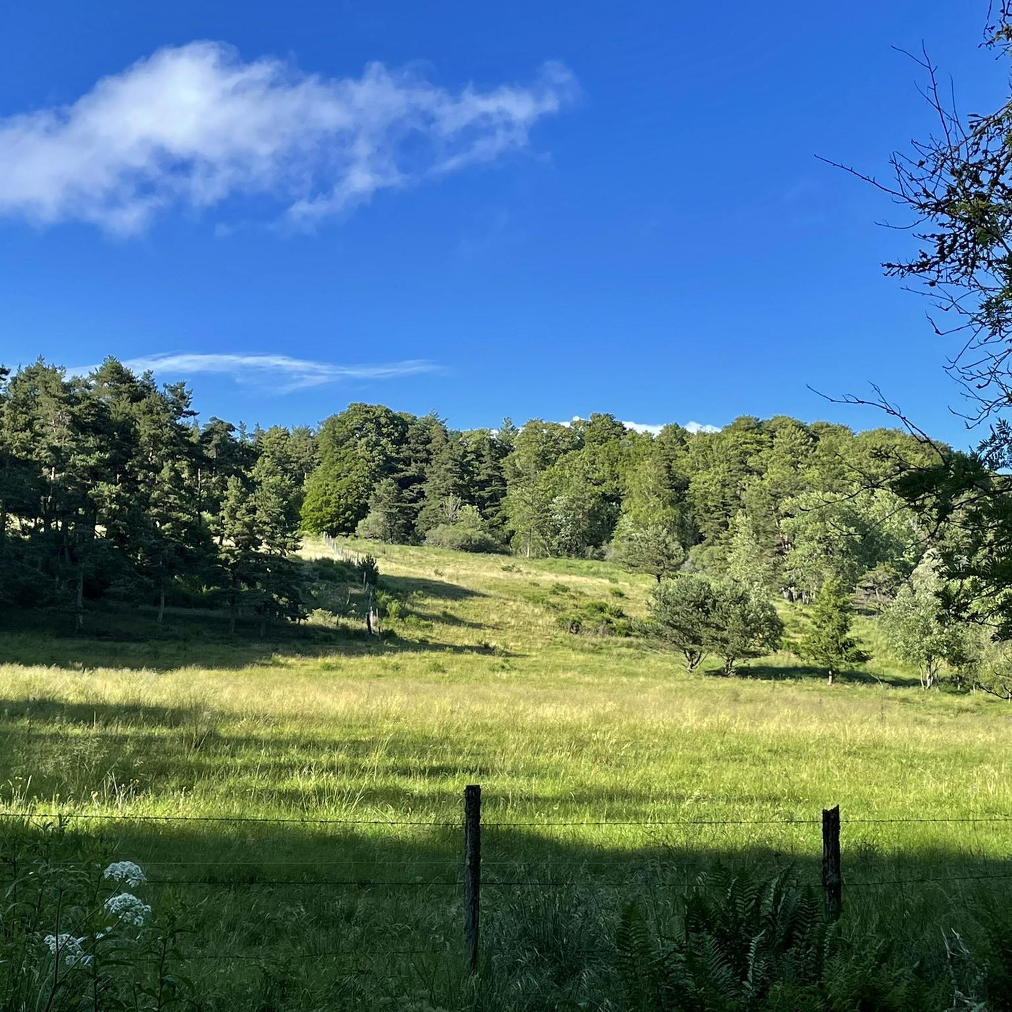
Road cycling routes around Gumières offer a challenging environment within the Loire department of France. The region is characterized by significant elevation changes, including notable mountain passes and cols within the Monts du Forez. Cyclists can expect varied landscapes, from dense forests to open heather expanses, providing panoramic views at higher elevations. This topography makes the area particularly suitable for experienced road cyclists seeking demanding climbs and rewarding descents.
Best road cycling routes around Gumières
- The most popular road cycling…
Last updated: November 1, 2026
5.0
(1)
81
riders
79.4km
04:26
1,760m
1,760m
Hard road ride. Very good fitness required. Some segments of this route may be unpaved and difficult to ride.
3.0
(1)
38
riders
49.0km
02:54
1,150m
1,150m
Hard road ride. Very good fitness required. Mostly well-paved surfaces and easy to ride.

4.3
(3)
12
riders
46.8km
02:11
570m
570m
Moderate road ride. Good fitness required. Mostly well-paved surfaces and easy to ride.
7
riders
37.9km
02:01
720m
720m
Moderate road ride. Good fitness required. Mostly well-paved surfaces and easy to ride.
12
riders
69.0km
03:20
830m
830m
Moderate road ride. Good fitness required. Some segments of this route may be unpaved and difficult to ride.
Get access to more routes and recommendations from other explorers.
Already have an account?
Our route recommendations are based on thousands of hikes, rides, and runs completed by other people on komoot.
Start today with a free account
Your next adventure awaits.
Tips from the Community

Reserved for users of ravine paths with stones.
0
0

Very beautiful light especially in the evening, view of the plain and the Forez mountains
0
0

The view is superb, the surrounding paths are great!
0
0
Superb pass and a stone's throw away the Gîte des Gentianes offers you a snack, overnight meal... and a superb welcome.
1
0

Departure from the mountain bike circuit of the same name.
0
0

Always very pleasant pass, very little frequented by cars.
0
0

Old medieval castle now in ruins. With its enclosure surrounding a stone keep located at the top of a mound, it is an imposing vestige of a feudal past.
0
0
Frequently Asked Questions
What kind of terrain can I expect when road cycling around Gumières?
The region around Gumières is characterized by significant elevation changes, making it ideal for experienced road cyclists seeking a challenge. You will encounter mountainous terrain within the Monts du Forez, including notable cols like the Col de la Croix de l'Homme Mort, which has been featured in the Tour de France. Routes wind through varied landscapes, from dense forests to open heather expanses, offering panoramic views at higher elevations.
How many road cycling routes are available in the Gumières area?
There are 45 road cycling routes around Gumières documented on komoot. These routes cater to various skill levels, with 15 difficult, 29 moderate, and 1 easy route available.
Are there any moderate road cycling routes suitable for intermediate cyclists?
Yes, there are 29 moderate road cycling routes. An example is the Col des Supeyres – Jasserie du Coq Noir loop from Col des Limites, which covers about 45 km with significant elevation gain, offering a rewarding experience without the extreme difficulty of the most challenging climbs.
What are some notable landmarks or points of interest I might see while cycling near Gumières?
The routes often pass through or near several interesting points. You might encounter mountain passes such as Col des Supeyres or Col de Baracuchet (1267 m). Other points of interest include the charming settlements of Montarcher and Marols, or the historical Saint-Thomas Church.
Are there any natural attractions or scenic viewpoints along the cycling routes?
Absolutely. The region offers stunning natural scenery. From elevated points, you can enjoy panoramic views of the surrounding plains and spot significant natural landmarks like Pierre Bazanne and Pierre sur Haute. While not directly on a cycling route, the beautiful cascade du saut du diable (Devil's Waterfall) is located approximately 3 km upstream from Gumières and can be explored off the bike.
What do other road cyclists say about the routes in Gumières?
The road cycling routes in Gumières are highly rated by the komoot community, with an average score of 4.4 stars from more than 20 reviews. Cyclists often praise the challenging mountainous terrain, the diverse landscapes ranging from dense forests to open heather expanses, and the rewarding panoramic views from higher elevations.
Can I find a challenging road cycling route that starts directly from Gumières?
Yes, for a significant challenge starting directly from Gumières, consider the Col des Pradeaux – Col des Supeyres loop from Gumières. This difficult 79.1 km path features substantial elevation gain through the scenic Monts du Forez.
Are there any circular road cycling routes available?
Many of the road cycling routes in the Gumières area are designed as loops. For example, the Col de Baracuchet (1267 m) – Col des Limites loop from Saint-Anthème is a difficult 47.9 km circular trail that takes you over challenging mountain passes.
What is the best time of year for road cycling in Gumières?
The region's significant elevation changes mean that weather conditions can vary. Generally, late spring through early autumn (May to October) offers the most favorable conditions for road cycling, with milder temperatures and less chance of snow on higher passes. Always check local weather forecasts before heading out, especially for routes traversing higher cols.
Are there any historical sites to explore near the cycling routes?
Beyond the natural beauty, the area has historical significance. The Saint-Barthélemy church in Gumières, constructed in the 15th century, is a historical monument that adds to the cultural richness of the area. You might also encounter sites like the Roche-Cubertelle Dolmen, offering a glimpse into local heritage.
Are there any easy road cycling routes for beginners or those looking for a relaxed ride?
While the region is known for its challenging terrain, there is 1 easy road cycling route available. For a more relaxed experience, you might consider routes that stick to lower elevations or less steep gradients, though the overall topography of Gumières leans towards more demanding rides.
Most popular attractions around Gumières

Get inspired with the komoot mobile app


Explore more
Browse the best Road cycling routes in other regions.
