The best walks and hikes around Lérigneux
4.5
(551)
2,844
hikers
232
hikes
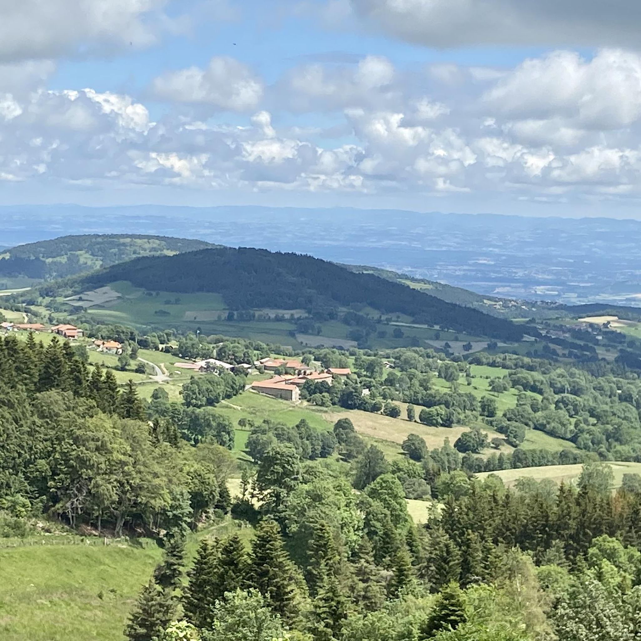
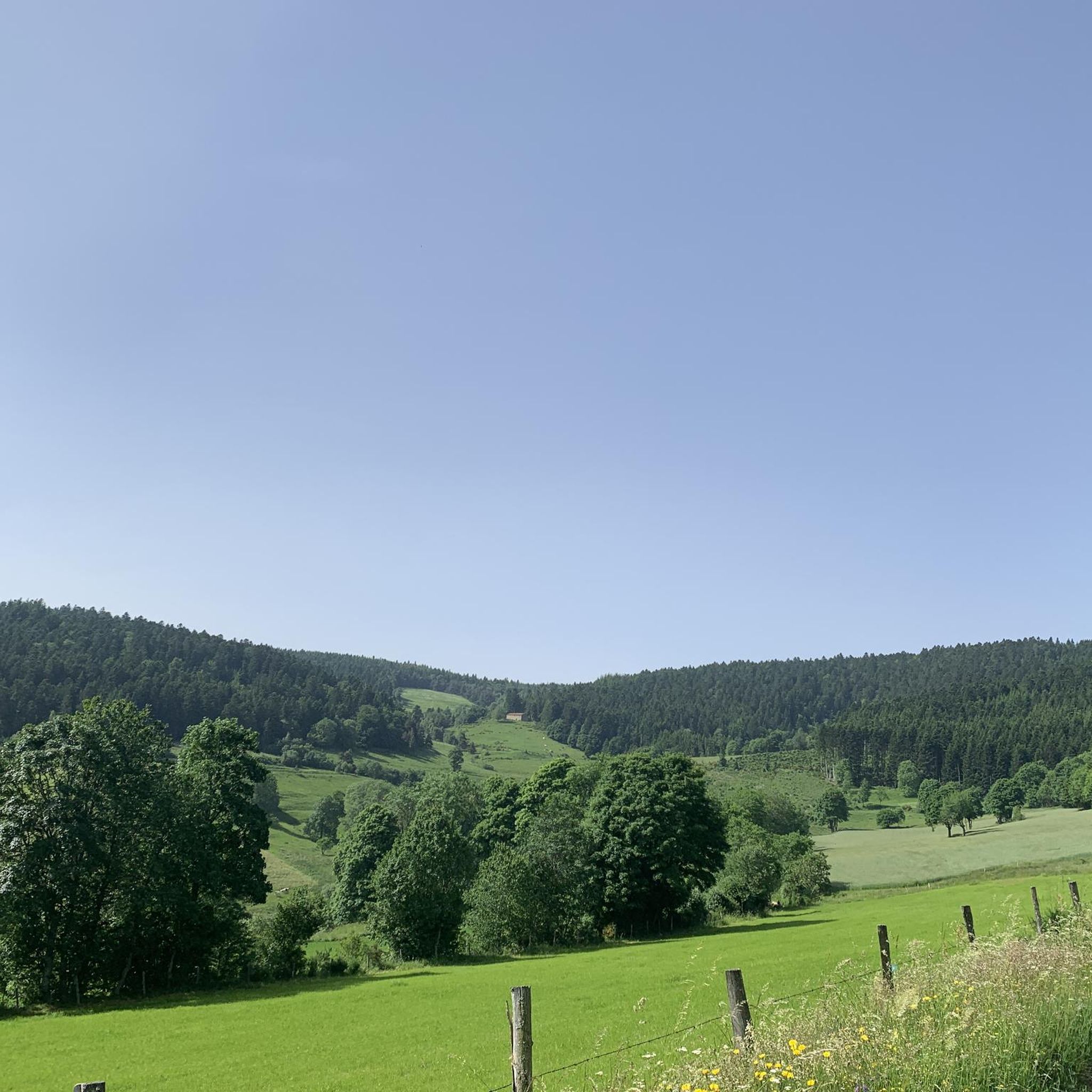
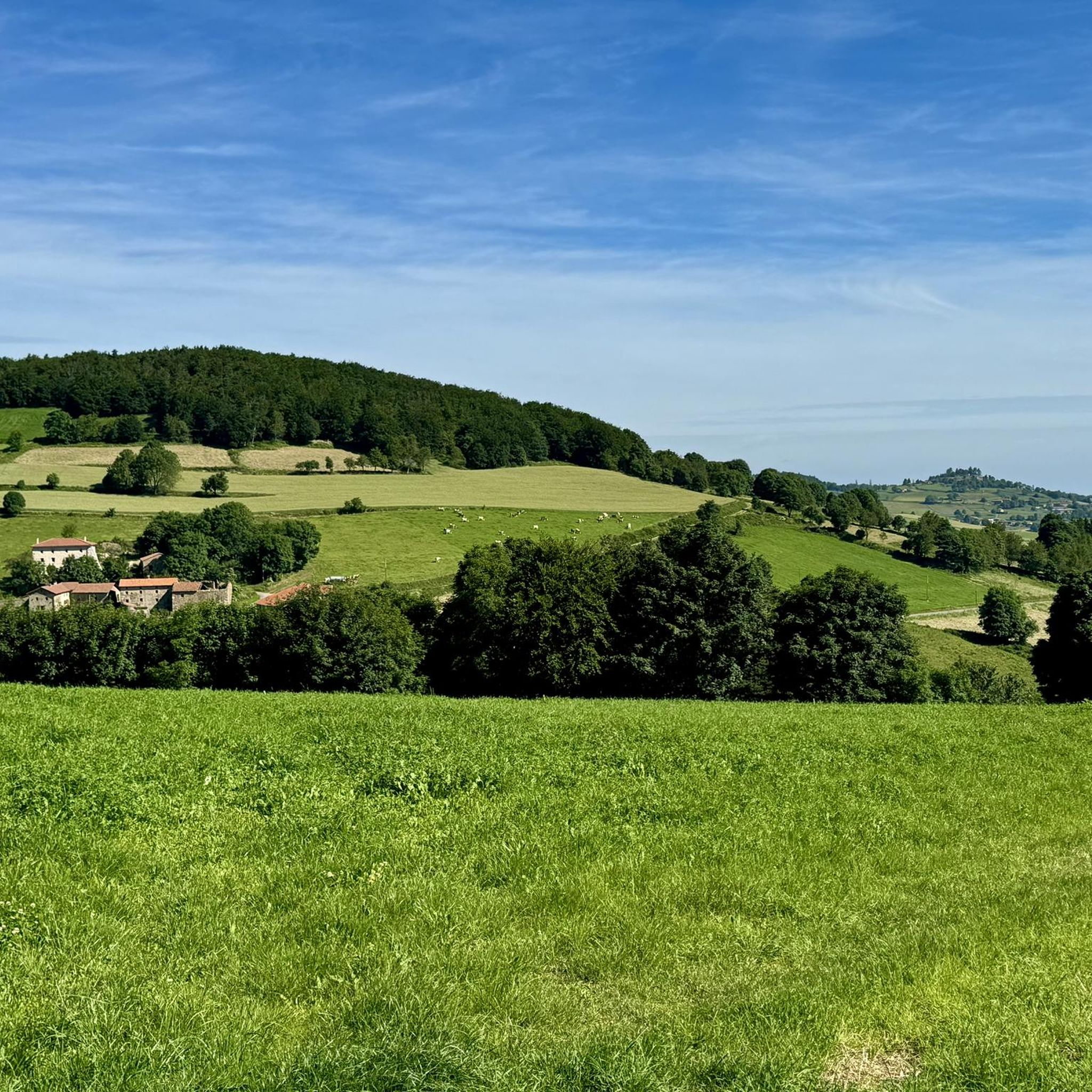
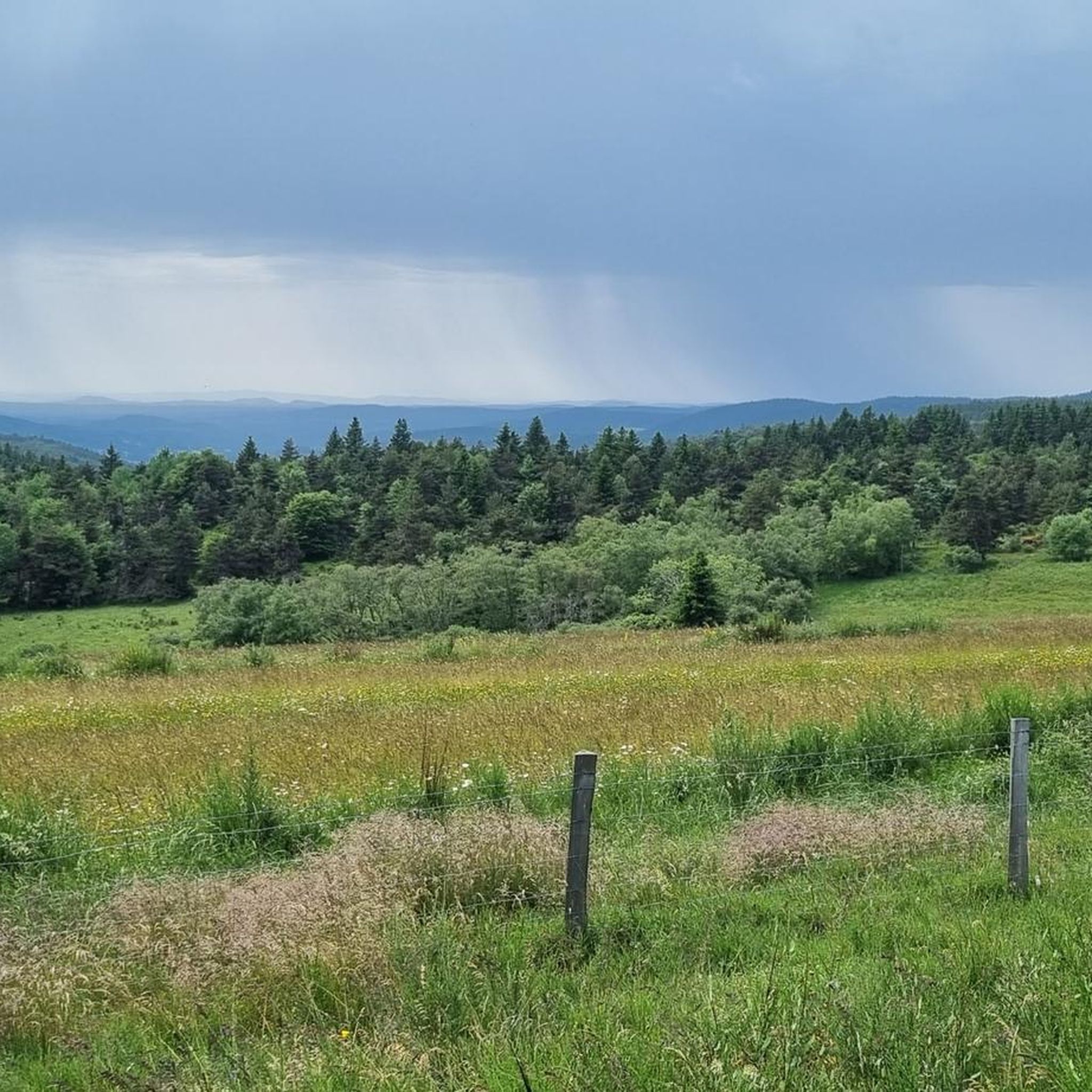
Hiking around Lérigneux offers diverse landscapes within the Monts du Forez and the Parc Naturel Régional Livradois-Forez. The region features extensive forests, green meadows, and high-altitude moors, alongside ancient volcanic formations such as Mont Semiol and the Pic de Chaudabry. Hikers can explore the scenic gorges and valley of the Vizézy River, with many routes providing panoramic views of the Forez plain, the Lyonnais region, and the Chaîne des Puys. This varied terrain provides a rich environment for outdoor activities.
…Last updated: June 29, 2026
4.6
(13)
49
hikers
16.0km
04:28
300m
300m
Moderate hike. Good fitness required. Easily-accessible paths. Suitable for all skill levels.
4.4
(10)
65
hikers
9.04km
02:29
150m
150m
Moderate hike. Good fitness required. Easily-accessible paths. Suitable for all skill levels.

Sign up for free
4.9
(9)
16
hikers
6.84km
01:51
100m
100m
Easy hike. Great for any fitness level. Easily-accessible paths. Suitable for all skill levels.
4.4
(5)
19
hikers
13.1km
03:42
270m
270m
Moderate hike. Good fitness required. Easily-accessible paths. Suitable for all skill levels.
4.3
(4)
16
hikers
5.33km
01:29
100m
100m
Easy hike. Great for any fitness level. Easily-accessible paths. Suitable for all skill levels.
Get access to more routes and recommendations from other explorers.
Sign up for free
Already have an account?
Our route recommendations are based on thousands of hikes, rides, and runs completed by other people on komoot.
Start today with a free account
Your next adventure awaits.
Login or Signup

Tips from the Community

Yes, a very nice mountain bike ride in the heather with superb landscapes
1
0

The Livradois-Forez plateau offers magnificent views of the plains below.
0
0

On the bucolic heights of the Forez mountains, the Garnier inn welcomes hikers all summer long. Local menus are also served there. The Fourme de Montbrison fondue is delicious.
0
0

In the high stubble of Forez, the large Pierre Bazanne which rises to an altitude of 1,394 meters is of volcanic origin. If you climb to its top, you will have a beautiful panoramic view. Several paths take you there, from the Baracuchet pass or even from Pierre sur Haute (around twelve kilometers). In April, beautiful daffodils bloom in the surrounding meadows.
2
0

A very beautiful pass at altitude very little frequented with beautiful views. Since Montbrison it is quite long with fairly low but regular percentages. Be careful in winter the road is not desalinated (water withdrawal area) and in the forest which makes it a little dangerous. At the top, the summit is flat and you have to drive a little before you find the sign signifying the arrival at the top. There is no view at the top but the atmosphere is very nice. You can easily reach the Col des Supeyres, in the sequence via a small road that climbs gently.
0
0

1267 m high for an enchanting pass, very peaceful in the heart of nature.
0
0

Inn-refuge located at 1338 m on the GR. For a stopover or for one night (18 places in dormitory).
7
0
The great Pierre Bazanne, 1,394 meters high, is a neck of volcanic origin emerging from the high stubble of Forez. Above the forests, it offers a 360-degree panorama. Unusual: this basalt block freaks out compasses!
8
0
Frequently Asked Questions
How many hiking trails are available around Lérigneux?
There are over 200 hiking routes around Lérigneux, offering a wide range of options for different skill levels and preferences. The komoot community has explored these trails over 2800 times.
What kind of terrain can I expect on hikes around Lérigneux?
Hikes around Lérigneux feature diverse landscapes within the Monts du Forez. You'll encounter extensive forests, green meadows, and high-altitude moors known as the Hautes Chaumes. The region also includes ancient volcanic formations and scenic river valleys like the Vizézy, providing varied terrain from gentle paths to more challenging ascents.
Are there easy hiking trails suitable for beginners in Lérigneux?
Yes, Lérigneux offers over 60 easy hiking routes, perfect for beginners or those looking for a relaxed walk. These often include pleasant forest paths and gentle meadow trails. An example of an easy route is The Grande Pierre Bazanne loop from Bazanne, which is 4.2 miles (6.8 km) long.
What natural features and viewpoints can I discover while hiking in Lérigneux?
You can explore ancient volcanic peaks like Mont Semiol and the Pic de Chaudabry, and the scenic gorges of the Vizézy River. Many trails offer exceptional panoramic views of the Forez plain, the Lyonnais region, the Chaîne des Puys, and even the Alps and Mont Blanc on clear days. The Hautes Chaumes also provide unique high-altitude moorland scenery.
Are there any unique historical or natural landmarks to see on the trails?
Yes, you can discover several interesting landmarks. The 7-hole stone loop from Baracuchet passes by an ancient boundary stone dating back to 1317. Another notable feature is The Grande Pierre Bazanne, a prominent summit that can be explored via routes like The Grande Pierre Bazanne loop from Baracuchet.
Are there family-friendly hiking options in Lérigneux?
Yes, Lérigneux has many trails suitable for families. The region's numerous easy forest walks and paths through meadows are ideal for outings with children. Look for routes with lower elevation gain and shorter distances for a comfortable family experience.
Can I bring my dog on the hiking trails in Lérigneux?
Most hiking trails in Lérigneux are dog-friendly, allowing you to enjoy the natural beauty with your canine companion. It's generally recommended to keep dogs on a leash, especially in areas with livestock or wildlife, and to always clean up after them.
Are there any circular walks around Lérigneux?
Yes, many of the trails around Lérigneux are designed as circular routes, allowing you to start and end at the same point. Examples include Plateau du Livradois-Forez – Refuge du Garnier loop from Bazanne and The Grande Pierre Bazanne loop from Baracuchet.
Where can I find food or accommodation near the trails?
For a unique experience, the Refuge du Garnier is an auberge located on the bucolic heights of the Monts du Forez. It welcomes hikers during the summer season and offers local menus. You can find it along the Plateau du Livradois-Forez – Refuge du Garnier loop from Bazanne route or visit the highlight page for Refuge du Garnier.
What is the best time of year to go hiking in Lérigneux?
The best time for hiking in Lérigneux is generally from spring through autumn, when the weather is mild and the landscapes are vibrant. Summer offers lush greenery and full access to all trails, while spring and autumn provide pleasant temperatures and beautiful seasonal colors. Some higher altitude trails might be less accessible in winter due to snow.
What do other hikers enjoy the most about hiking in Lérigneux?
The area is highly rated by the komoot community, with an average score of 4.5 stars from over 500 reviews. Reviewers often praise the diverse landscapes, the tranquility of the extensive forests, the panoramic views from volcanic peaks, and the well-maintained network of trails suitable for various abilities.
Are there any challenging hikes for experienced trekkers?
Yes, for more experienced hikers, there are 22 difficult routes available. These often involve significant elevation gain, such as ascents to ancient volcanic peaks or longer treks across the Monts du Forez. For instance, the highest point of the Monts du Forez, Pierre-sur-Haute (1631m), is accessible via routes from Col de Baracuchet, a few kilometers from Lérigneux.
Most popular routes around Lérigneux
Most popular attractions around Lérigneux

Get inspired with the komoot mobile app


Explore more
Browse the best Hikes in other regions.
