The best road cycling routes around Barre-Des-Cévennes
4.4
(131)
3,500
riders
84
rides
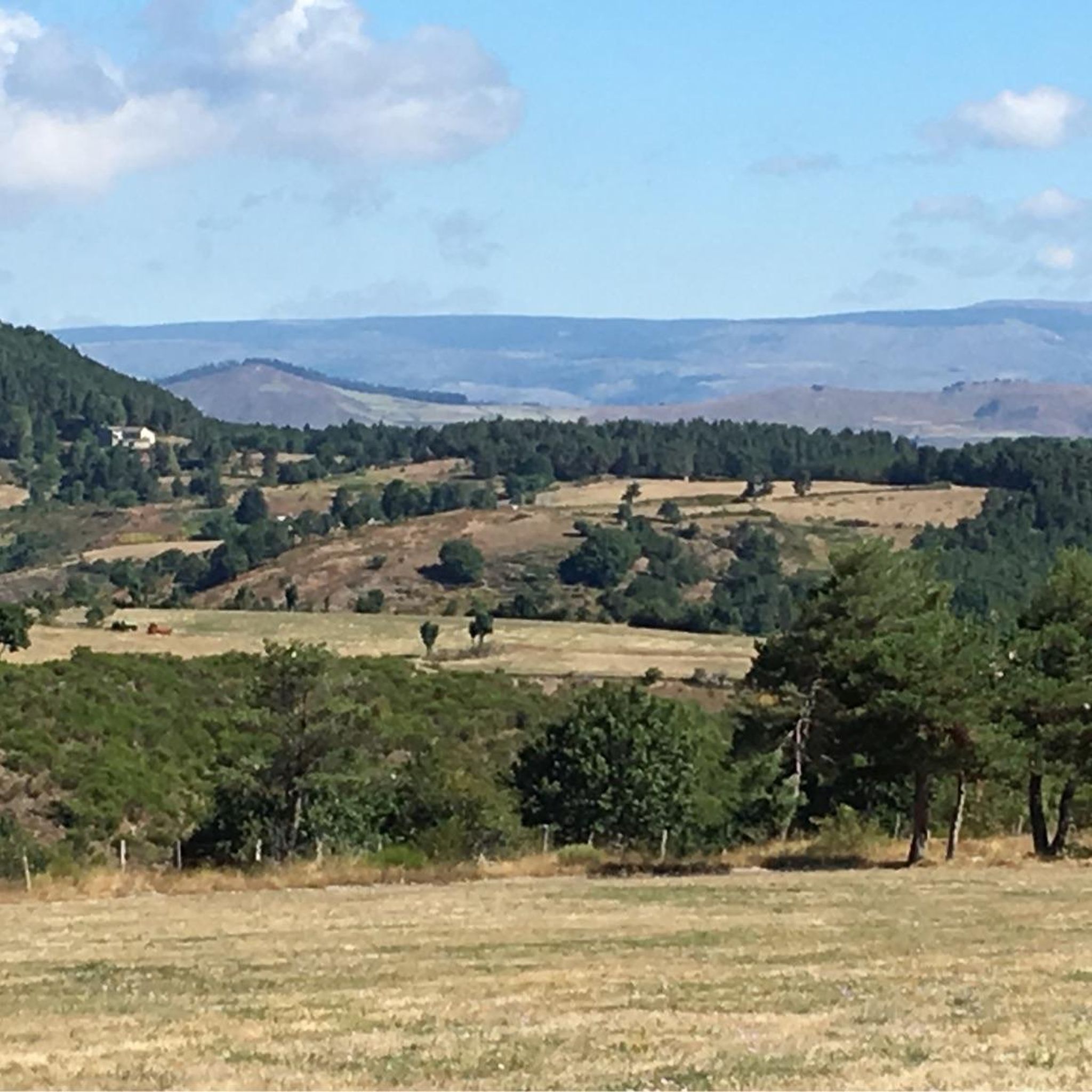
Road cycling routes around Barre-Des-Cévennes navigate a landscape characterized by the rugged terrain of the Cévennes National Park. The region features significant elevation changes, with routes often traversing mountain passes and deep river gorges. Dense woodlands and open plateaus define the scenery, offering varied conditions for road cyclists.
Best road cycling routes around Barre-Des-Cévennes
- The most popular road cycling route is Tarn – Gorges du Tarn loop from Barre-des-Cévennes, a 84.6 miles (136.1 km) trail that takes 6 hours 41 minutes to complete. This difficult route offers extensive climbs and descents through the dramatic Gorges du Tarn.
- Another top favourite among local road cyclists is Jalcreste Pass – Florac-Trois-Rivières loop from Barre-des-Cévennes, a difficult 54.6 miles (88.0 km) path. This route includes challenging ascents over mountain passes and views of the surrounding valleys.
- Local road cyclists also love the Le Vergougnous loop from Cassagnas, a 40.4 miles (65.1 km) trail leading through varied Cévennes landscapes, often completed in about 3 hours 22 minutes.
- Road cycling around Barre-Des-Cévennes is defined by challenging mountain passes, deep river gorges, and extensive forest roads. The network offers options for different ability levels, from moderate to advanced road bike routes.
- The routes in Barre-Des-Cévennes are highly rated by the komoot community with an average score of 4.5 stars from over 90 reviews. More than 2,900 road cyclists have used komoot to explore Barre-Des-Cévennes's varied terrain.
Last updated: July 9, 2026
5.0
(9)
290
riders
136km
06:41
2,030m
2,030m
Hard road ride. Very good fitness required. Some segments of this route may be unpaved and difficult to ride.
4.7
(9)
133
riders
62.7km
03:11
1,050m
1,050m
Hard road ride. Very good fitness required. Mostly well-paved surfaces and easy to ride.

Sign up for free
4.8
(4)
54
riders
57.8km
03:03
1,050m
1,050m
Hard road ride. Very good fitness required. Mostly well-paved surfaces and easy to ride.
28
riders
104km
05:30
1,920m
1,920m
Hard road ride. Very good fitness required. Some segments of this route may be unpaved and difficult to ride.
4.0
(1)
18
riders
80.4km
04:25
1,600m
1,600m
Hard road ride. Very good fitness required. Some segments of this route may be unpaved and difficult to ride.
Get access to more routes and recommendations from other explorers.
Sign up for free
Already have an account?
Our route recommendations are based on thousands of hikes, rides, and runs completed by other people on komoot.
Start today with a free account
Your next adventure awaits.
Login or Signup

Other adventures around Barre-Des-Cévennes

Tips from the Community

As a local and a cyclist, I can confirm that the scenery is magnificent and the small roads are ideal for cycling, provided you avoid the peak period from July 15th to August 15th. However, I regret that you only mention the village of Le Rozier in the route descriptions, while the photos are mostly of Peyreleau, a superb, unspoiled village, away from the traffic of the gorges, which it faces on the other side of the Jonte River! Note: Le Rozier is in Lozère, while Peyreleau is in Aveyron.
0
0

The Col du Sapet overlooks the heart of the Cévennes National Park at an altitude of 1,080 meters. It is located on Mont du Bougès and serves as a starting point for numerous hiking trails. This pass is also particularly popular with local cyclists, with its 450-meter elevation gain and views of the Cévennes Mountains.
0
0

Great rides, few cars, magnificent
0
0


Beautiful village, located on the Tharn. Possible stop on the Stevenson Trail and the GR7
5
0

A pretty village for a rest stop or simply to visit (by bike). There are many terraces where you can take a short break.
0
0

On the road between the old Cassagnas station (and the Stevenson space) and Barre-des-Cenvennes.
0
0
Frequently Asked Questions
How many road cycling routes are available around Barre-Des-Cévennes?
There are over 75 road cycling routes available around Barre-Des-Cévennes. The majority of these, 52 routes, are classified as difficult, with 21 moderate and 2 easy options.
What is the typical duration for road cycling routes in this region?
Route durations vary significantly due to the challenging terrain. For example, the Tarn – Gorges du Tarn loop from Barre-des-Cévennes, a difficult 136.1 km route, typically takes around 6 hours 41 minutes. Shorter, difficult routes like the Cévennes National Park – Le Vergougnous loop from Cassagnas (50.1 km) can be completed in about 3 hours.
Are there any family-friendly or beginner road cycling routes in Barre-Des-Cévennes?
The Barre-Des-Cévennes region is predominantly characterized by challenging terrain with significant elevation changes, making most routes suitable for experienced cyclists. While there are 2 easy and 21 moderate routes, families or beginners should carefully review route profiles for elevation and distance before setting out.
What are the best times of year for road cycling in Barre-Des-Cévennes?
The Cévennes region is best enjoyed for road cycling during spring and autumn when temperatures are milder and the natural scenery is vibrant. Summer can be very warm, especially in the gorges, while winter often brings colder temperatures and potential for snow at higher elevations.
What kind of terrain and conditions can I expect on road cycling routes here?
Road cycling routes around Barre-Des-Cévennes navigate the rugged terrain of the Cévennes National Park. Expect significant elevation changes, with routes often traversing mountain passes and deep river gorges. The scenery includes dense woodlands and open plateaus, offering varied conditions and challenging ascents and descents.
Are there any notable viewpoints or attractions along the road cycling routes?
Yes, the region offers several points of interest. You might encounter places like Le Pont-de-Montvert or Florac-Trois-Rivières. The dramatic Vallée Borgne and the Tarn at Cocurès also offer scenic views. For historical interest, consider the Dolmen at Col de la Pierre Plate.
Are there many loop road cycling routes available?
Yes, many road cycling routes in the Barre-Des-Cévennes area are designed as loops, allowing you to start and finish at the same point. Examples include the challenging Jalcreste Pass – Florac-Trois-Rivières loop from Barre-des-Cévennes (88.0 km) or the Barre-des-Cévennes – Vebron loop from Cassagnas (80.4 km).
What do other road cyclists enjoy most about road cycling in Barre-Des-Cévennes?
The area is highly rated by the komoot community, with an average score of 4.5 stars from over 90 reviews. Cyclists often praise the challenging mountain passes, the dramatic river gorges, and the extensive forest roads that define the region's unique cycling experience.
Where can I find parking for road cycling routes in Barre-Des-Cévennes?
Many routes, particularly those starting from towns like Barre-Des-Cévennes or Cassagnas, offer parking options. It's advisable to check the specific route details on komoot for recommended starting points and parking availability, especially when planning to tackle longer loops.
Are there cafes or places to stop for refreshments along the routes?
While the Cévennes region is wild and sparsely populated in parts, routes often pass through or near small villages and towns like Florac-Trois-Rivières or Le Pont-de-Montvert where you can find cafes, bakeries, or small shops for refreshments. Planning your stops in advance, especially on longer routes, is recommended.
What are some of the more advanced road cycling routes in the area?
The region is well-suited for advanced cyclists, with 52 routes classified as difficult. Notable challenging routes include the Tarn – Gorges du Tarn loop from Barre-des-Cévennes, which features extensive climbs and descents over 136.1 km, and the Le Vergougnous loop from Cassagnas, offering varied Cévennes landscapes over 65.1 km.
Most popular routes around Barre-Des-Cévennes
Most popular attractions around Barre-Des-Cévennes

Get inspired with the komoot mobile app


Explore more
Browse the best Road cycling routes in other regions.
