The best walks and hikes around Surtainville
4.4
(1252)
5,863
hikers
225
hikes
Hiking around Surtainville offers routes along the coast of the Cotentin Peninsula, characterized by sandy beaches, coastal dunes, and rocky capes. The region's terrain includes low-lying coastal paths and gentle ascents to viewpoints overlooking the English Channel. These trails provide access to the diverse natural features of the Normandy coastline.
Best hiking trails around Surtainville
- The most popular hiking route is View of Surtainville Beach – View of Cap Rozel loop from Le Pou, a 3.4 miles (5.5 km)…
Last updated: September 1, 2026
4.7
(41)
166
hikers
5.54km
01:34
120m
120m
Easy hike. Great for any fitness level. Easily-accessible paths. Suitable for all skill levels.
4.8
(28)
86
hikers
8.56km
02:23
160m
160m
Moderate hike. Good fitness required. Easily-accessible paths. Suitable for all skill levels.

Sign up for free
3.7
(3)
16
hikers
5.57km
01:24
10m
10m
Easy hike. Great for any fitness level. Easily-accessible paths. Suitable for all skill levels.
3.3
(3)
7
hikers
15.1km
04:02
160m
160m
Moderate hike. Good fitness required. Easily-accessible paths. Suitable for all skill levels.
4.8
(4)
16
hikers
8.20km
02:11
90m
90m
Moderate hike. Good fitness required. Easily-accessible paths. Suitable for all skill levels.
Get access to more routes and recommendations from other explorers.
Sign up for free
Already have an account?
Our route recommendations are based on thousands of hikes, rides, and runs completed by other people on komoot.
Start today with a free account
Your next adventure awaits.
Login or Signup
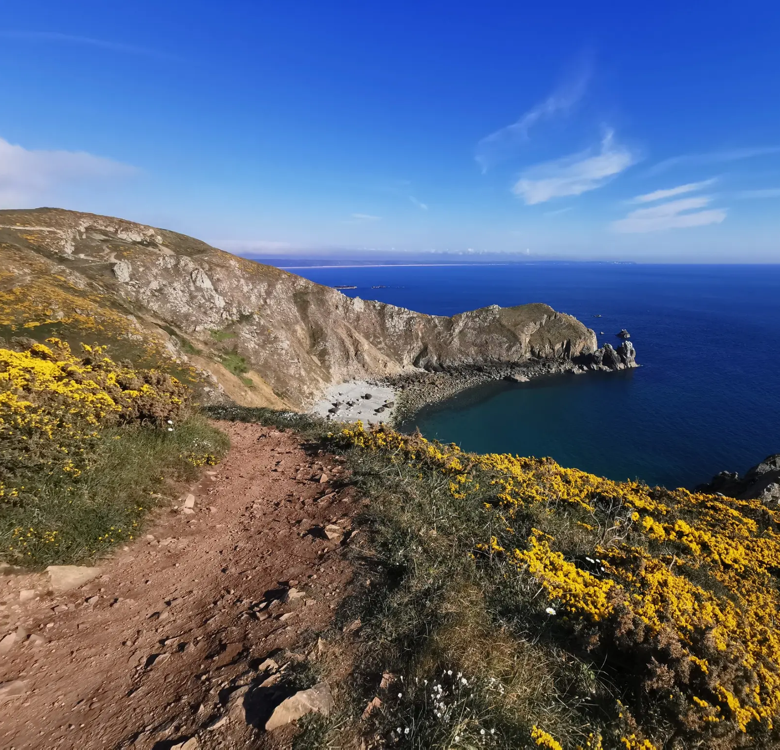
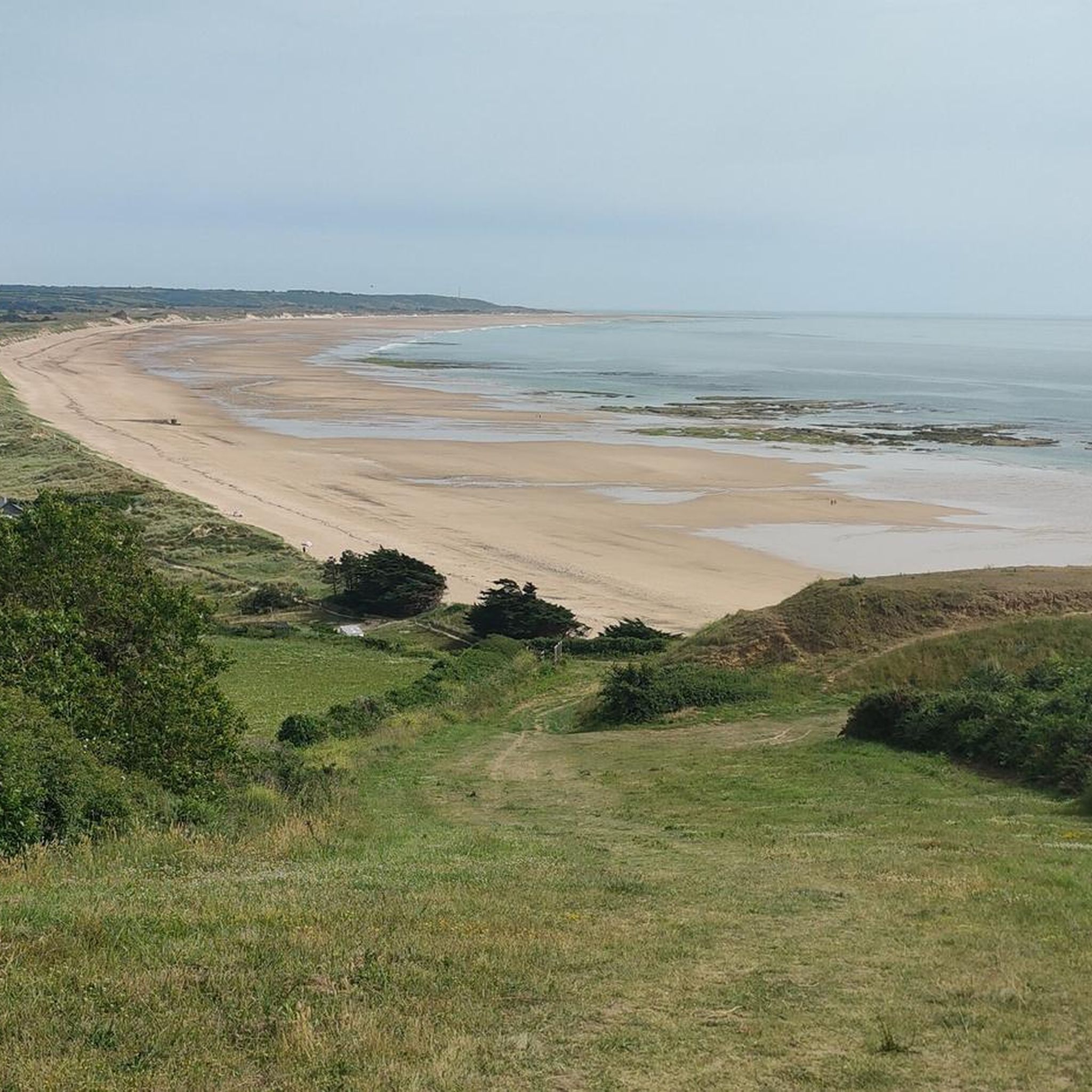
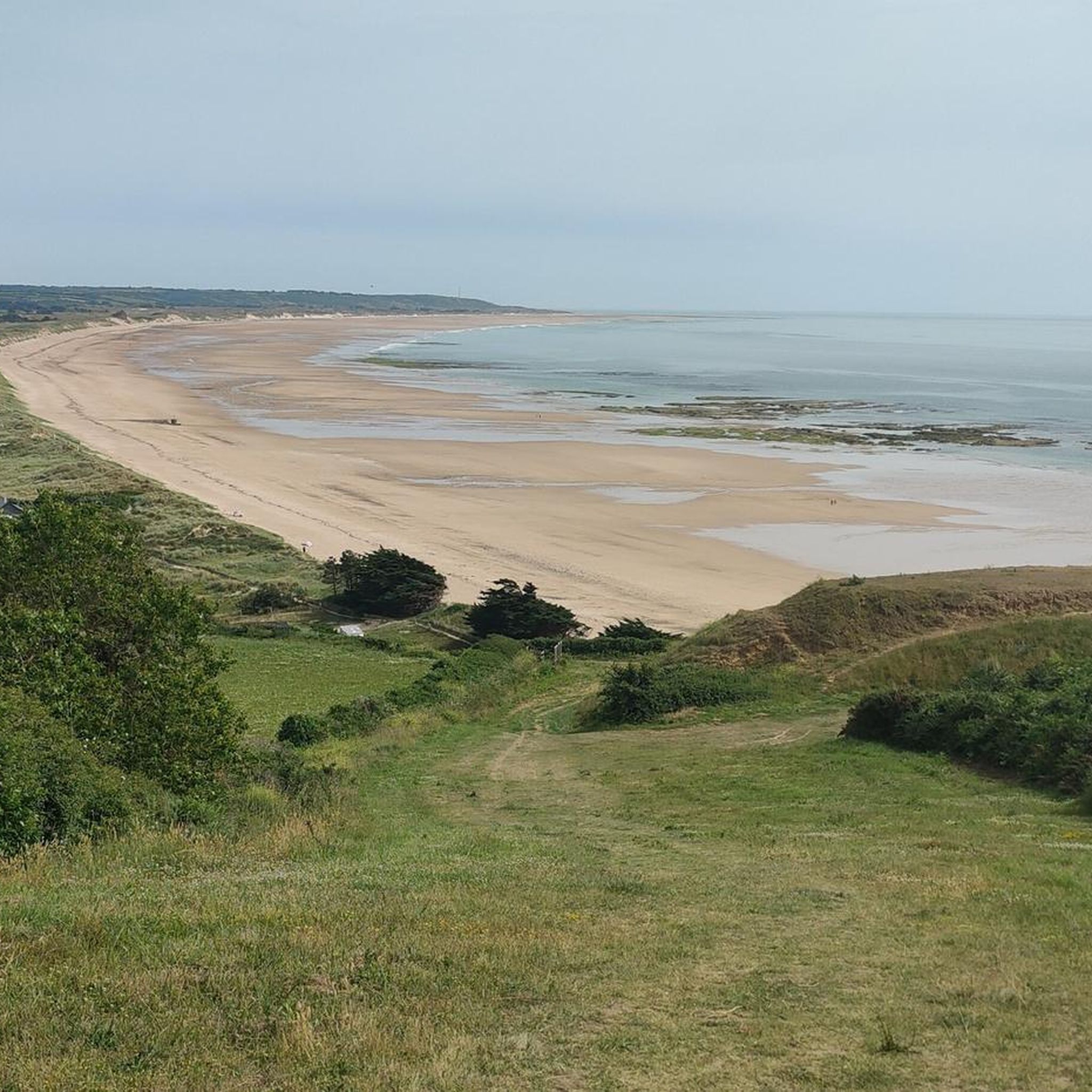
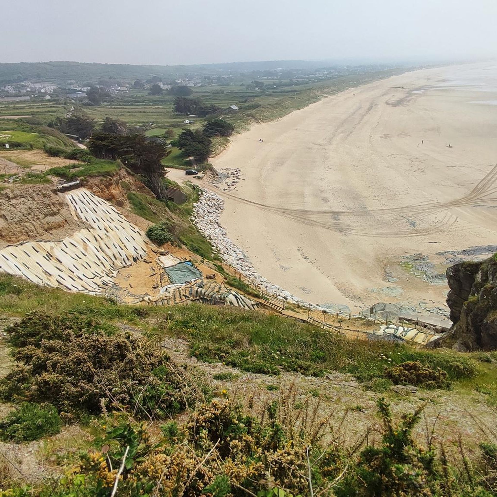

Other adventures around Surtainville

Tips from the Community

The website for the film documentary "Border Paths – The Customs Officers' Trail" states: "The historic Customs Officers' Trail, now one of France's most popular hiking trails, begins at the famous pilgrimage site of Mont St. Michel. Along its 1,700 kilometers, between Mont St. Michel in the north and St. Nazaire in the south of the Breton peninsula, visitors can discover impressive landscapes with a diverse range of flora and fauna. Passing rugged cliffs, vast dune landscapes, and seemingly endless beaches, hikers become border crossers on a floating border that shifts with the rhythm of the tides." The film about the "Sentier des Douaniers" (duration: 43 minutes / language: German) in the ARD media library can be found via the following link =>> https://www.ardmediathek.de/video/grenzwege-der-zoellnerpfad/grenzwege-der-zoellnerpfad/mdr/Y3JpZDovL21kci5kZS9zZW5kdW5nLzI4MjA0MC81MjE2OTktNTAxNzM2
0
0

Very extensive stretch of beach at low tide.
0
0

We specifically waited until the tide went out.
0
0

Quiet road in Chateau du Rozel, ideal for cycling
0
0

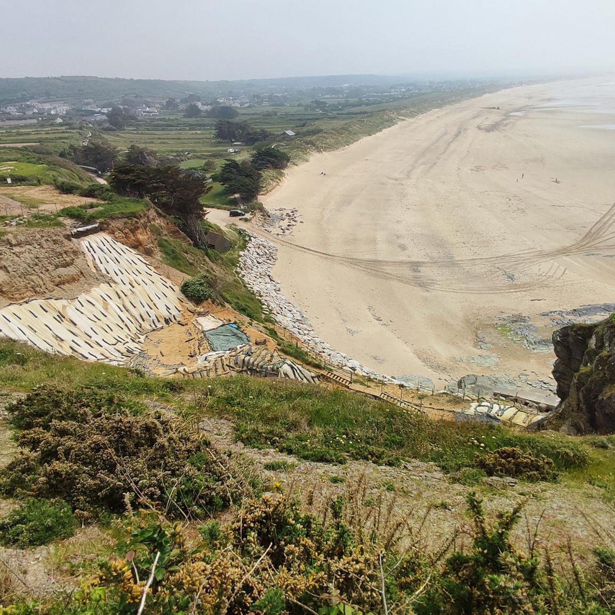
A huge sandy beach facing the Channel Islands that welcomes lovers of the sea and wide open spaces. Water sports enthusiasts will be delighted. The quality of the waves at Surtainville attracts many surfers. The beach is supervised during the summer season at the Brèche de l’Eglise. The site is managed by the coastal conservatory. Although this site is magnificent, it is nonetheless very fragile, the dune, which protects the town, regularly recedes under the battering of winter storms. It is up to all of us to take care of it.
2
0
The Vertes Fosses site extends over approximately 7 kilometers. These dunes are made up of a classic set of vegetations following one another perpendicular to the shore. However, the fairly strong marine erosion at this point on the coast has made the first stages of dune elevation rare. The Vertes Fosses site has had preservation measures since 1991. It is therefore a superb but fragile space that must be respected.
2
0
This seigneurial manor, which has experienced many vicissitudes throughout its history, has buildings whose construction spans from the 15th to the 18th century. The seigneurial dwelling, the entrance and the outbuildings are from the 17th century, but they were remodeled in the 18th century. The entrance is through a gate and on the left, a cart shed opens onto the courtyard through a double arcade with a pillar. The estate is currently divided into two properties. One of the most important elements of the manor is the round tower. Despite its appearance of a medieval keep, it dates from the very end of the 15th century.
2
0
The church of Sénoville was largely rebuilt around 1786, a few years before the Revolution; undamaged during the Terror, it was in good condition when it reopened for worship. In 2022, its bell tower was completely restored.
1
0
Frequently Asked Questions
How many hiking trails are available around Surtainville?
There are over 230 hiking routes in the Surtainville area. These include more than 120 easy trails, 90 moderate options, and 14 challenging routes, offering a wide variety for all skill levels.
What kind of terrain can I expect on hikes near Surtainville?
Hikes around Surtainville primarily feature coastal paths, sandy beaches, and dune landscapes. You'll find low-lying coastal routes and gentle ascents to viewpoints overlooking the English Channel, characteristic of the Cotentin Peninsula.
Are there easy hiking options suitable for beginners in Surtainville?
Yes, Surtainville offers over 120 easy hiking routes. A good example is the Surtainville Beach – Les Dunes de Baubigny loop from Baubigny, which is 3.5 miles (5.6 km) long and takes about 1 hour 24 minutes to complete, offering gentle terrain through the dunes.
Are there any challenging hikes around Surtainville?
While the region is known for its gentle coastal paths, there are 14 routes classified as difficult. These typically involve longer distances or more varied terrain, often combining coastal sections with inland paths that may have more elevation changes.
Are there family-friendly walks in Surtainville?
Many of the easy coastal paths and dune walks are suitable for families. They often feature flat terrain and beautiful scenery, making them enjoyable for all ages. Consider routes that explore the beaches and dunes for a pleasant family outing.
Can I bring my dog on the hiking trails in Surtainville?
Many trails in the Surtainville area are dog-friendly, especially those along the beaches and coastal paths. However, it's always recommended to keep your dog on a leash, especially in nature reserves or areas with livestock, and to check local regulations for specific beaches or protected areas.
What are some interesting landmarks or attractions to see along the hiking trails?
While hiking, you can explore various points of interest. Consider visiting the historic Rozel Castle 🏰 or the impressive Château de Bricquebec. The Cap de Carteret - Coastal Walk also offers stunning views and is a notable attraction nearby.
Are there circular walks available in Surtainville?
Yes, many of the routes around Surtainville are designed as circular loops, allowing you to start and end at the same point. An example is the View of Cap Rozel – View of Surtainville Beach loop from Surtainville, a moderate 5.3 miles (8.6 km) path offering expansive coastal scenery.
What is the best time of year to go hiking in Surtainville?
The best time for hiking in Surtainville is generally from spring to autumn (April to October) when the weather is milder and the days are longer. Summer offers warm temperatures ideal for coastal walks, while spring and autumn provide pleasant conditions with fewer crowds and vibrant natural colors.
What do other hikers enjoy most about hiking in Surtainville?
The area is highly rated by the komoot community, with an average score of 4.5 stars from over 1000 reviews. Reviewers often praise the stunning coastal scenery, the peaceful atmosphere of the dune landscapes, and the accessibility of the trails for various fitness levels.
Are there any hikes that offer views of Cap Rozel?
Yes, several routes provide excellent views of Cap Rozel. The View of Surtainville Beach – View of Cap Rozel loop from Le Pou is a popular 3.4 miles (5.5 km) trail specifically designed to showcase views of Cap Rozel and Surtainville Beach.
Where can I find parking for hiking trails in Surtainville?
Parking is generally available near popular beach access points and trailheads in Surtainville and surrounding villages. Look for designated parking areas close to the coast or in the centers of towns like Surtainville or Baubigny, which often serve as starting points for many routes.
Most popular routes around Surtainville
Most popular attractions around Surtainville

Get inspired with the komoot mobile app


Explore more
Browse the best Hikes in other regions.
