The best walks and hikes around Boutteville
4.4
(143)
1,252
hikers
81
hikes
Hiking around Boutteville offers routes through a landscape characterized by flat coastal plains and historical sites. The region features trails that often pass by significant World War II landing beaches and monuments. Elevation changes are generally minimal, making many routes accessible. The area provides opportunities to explore both natural coastal environments and historical landmarks.
Best hiking trails around Boutteville
- The most popular hiking route is Sainte-Mère-Église Church – Sainte-Mère-l'Église loop from Sainte-Mère-Église, a 6.2 miles (10.0 km) trail that…
Last updated: July 5, 2026
4.7
(6)
22
hikers
Moderate hike. Good fitness required. Easily-accessible paths. Suitable for all skill levels.
4.3
(4)
28
hikers
Hard hike. Very good fitness required. Easily-accessible paths. Suitable for all skill levels.

Sign up for free
5.0
(2)
11
hikers
Hard hike. Very good fitness required. Easily-accessible paths. Suitable for all skill levels.
5.0
(1)
10
hikers
Moderate hike. Good fitness required. Easily-accessible paths. Suitable for all skill levels.
4.0
(2)
9
hikers
Easy hike. Great for any fitness level. Easily-accessible paths. Suitable for all skill levels.
Get access to more routes and recommendations from other explorers.
Sign up for free
Already have an account?
Our route recommendations are based on thousands of hikes, rides, and runs completed by other people on komoot.
Start today with a free account
Your next adventure awaits.
Login or Signup



Tips from the Community


The church became known because a paratrooper was stuck on the church for hours during the invasion.
0
0

24h parking was only 4 Euros. We used this a the base for our days ride.
0
0

A lovely little town that benefits from the Airborne Museum.
4
0
Sherman tank in front of the AirBorn Museum. In the background is the church, where a doll still symbolizes paratrooper John Steele.
4
0
Memorials that remind you again and again "NEVER AGAIN WAR" that is something the warmongers from 🇩🇪 and the 🇪🇺 should especially make their motto.
3
0
A place steeped in history, one of the five landing zones.
2
0
A visit to the museum is worthwhile.
3
0
Frequently Asked Questions
How many hiking trails are available around Boutteville?
There are over 80 hiking routes available around Boutteville, offering a variety of experiences from easy strolls to more challenging long-distance treks. The region's trails are well-regarded by the komoot community.
Are there easy hiking trails suitable for beginners in Boutteville?
Yes, Boutteville offers a good selection of easy trails, with over 40 routes classified as easy. These trails typically feature minimal elevation changes, making them ideal for beginners or those looking for a relaxed walk. An example is the Sainte-Mère-l'Église – Sainte-Mère-Église Church loop from Sainte-Mère-Église, which is 4.5 miles (7.3 km) long.
What kind of terrain can I expect on hikes around Boutteville?
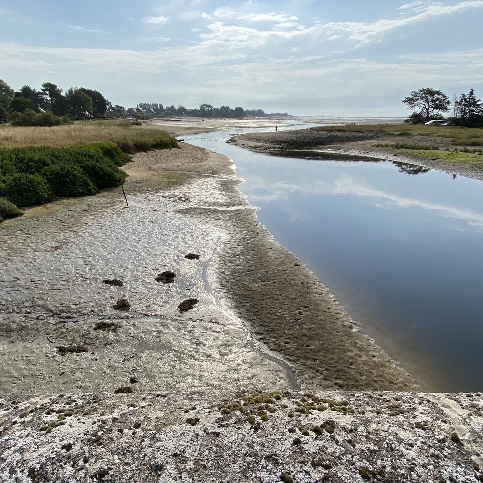
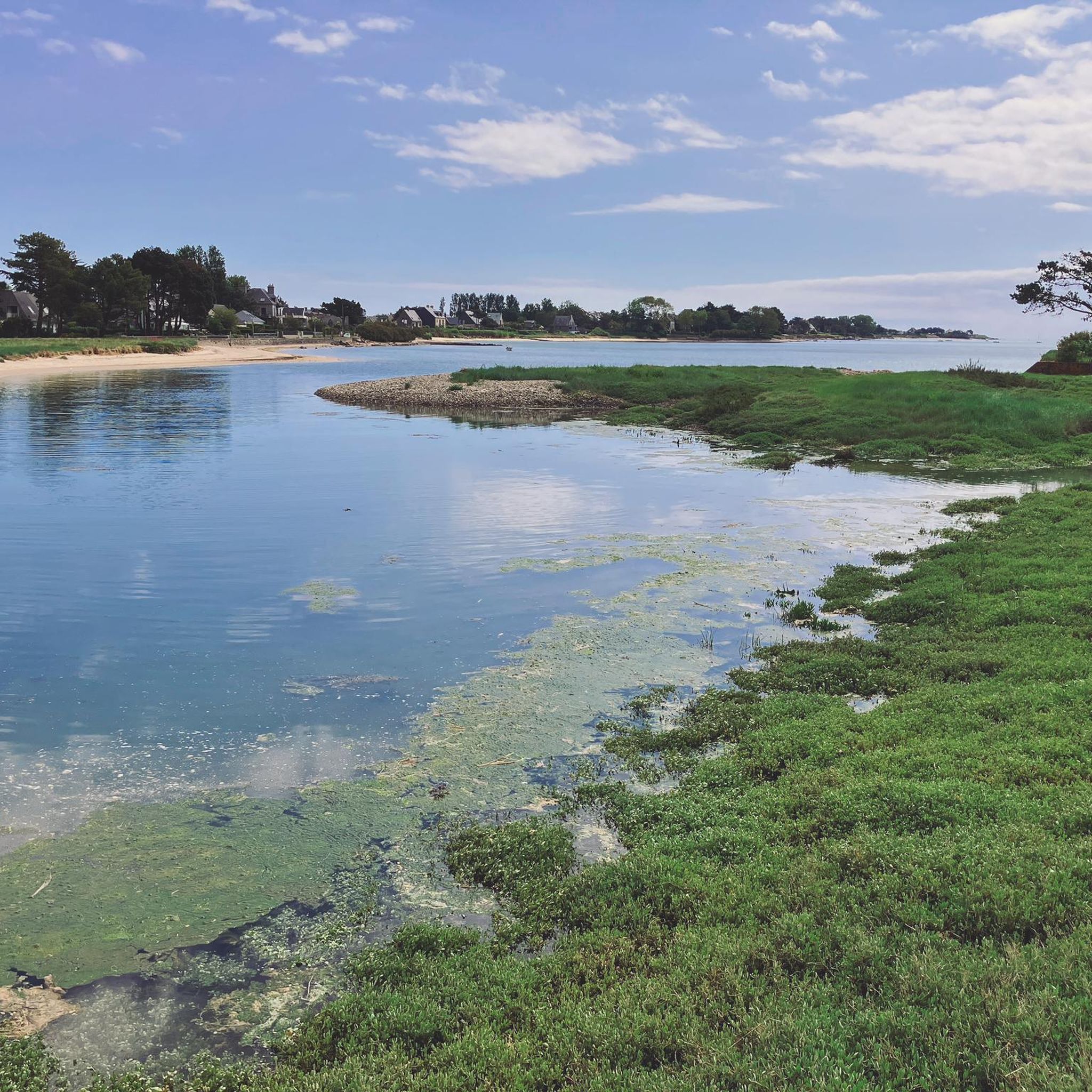
Hiking around Boutteville primarily involves flat coastal plains and agricultural lands. You can expect paths that often pass by significant World War II landing beaches and historical monuments. Elevation changes are generally minimal, providing accessible routes for most hikers.
Are there any family-friendly hiking options near Boutteville?
Given the generally flat terrain and historical points of interest, many of Boutteville's easy and moderate trails are suitable for families. Routes that explore the historic towns or coastal areas without significant elevation are often a good choice for all ages.
Can I bring my dog on the hiking trails in Boutteville?
Many trails in Boutteville are dog-friendly, especially those in natural coastal areas or rural paths. However, it's always advisable to keep dogs on a leash, particularly near historical sites, agricultural land, or in areas where wildlife might be present. Check local signage for specific restrictions.
Are there circular hiking routes available in Boutteville?
Yes, Boutteville features several circular hiking routes, which are popular for their convenience. For instance, the Sainte-Mère-Église Church – Sainte-Mère-l'Église loop from Sainte-Mère-Église is a moderate 6.2-mile (10.0 km) circular trail exploring the historic town and its surroundings.
What historical sites or landmarks can I see while hiking in Boutteville?
The Boutteville area is rich in history, particularly related to D-Day. While hiking, you can encounter significant landmarks such as the Sherman tank at Utah Beach, the 2nd Armored Division Monument, and the historic town of Sainte-Mère-l'Église. Many trails are designed to pass by these important sites.
What are some longer distance hiking options for experienced hikers?
For those seeking a more challenging and longer experience, Boutteville offers several difficult routes. An example is the Leclerc Monument at Utah Beach – Landing beach loop from Audouville-la-Hubert, a difficult 16.0-mile (25.7 km) path that provides extensive views of Utah Beach and its monuments.
Where can I find parking for Boutteville trailheads?
Parking is generally available at or near popular trailheads and historical sites throughout the Boutteville area, especially around key D-Day landing beaches and towns like Sainte-Mère-Église. It's advisable to check specific route descriptions for detailed parking information.
What is the best time of year to go hiking in Boutteville?
The best time to hike in Boutteville is typically from spring through early autumn (April to October) when the weather is mild and most favorable for outdoor activities. The coastal paths can be particularly pleasant during these months. Winter hiking is possible, but be prepared for colder, potentially windier conditions.
Are there opportunities for winter hiking in Boutteville?
Yes, hiking in Boutteville is possible during winter, though conditions will be cooler and potentially windier, especially along the coast. The generally flat terrain means trails are less likely to be impacted by heavy snow or ice compared to mountainous regions, making them accessible for those prepared for winter weather.
What do other hikers say about the trails in Boutteville?
The trails in Boutteville are highly rated by the komoot community, with an average score of 4.5 stars from over 130 reviews. Hikers often praise the historical significance of the routes, the scenic coastal views, and the accessibility of the generally flat terrain.
Are there any cafes or places to eat near the hiking trails?
Yes, you'll find cafes and restaurants in the towns and villages scattered throughout the Boutteville region, such as Sainte-Mère-Église and near Utah Beach. These establishments offer opportunities to refuel before or after your hike, often serving local Norman cuisine.
Most popular routes around Boutteville
Most popular attractions around Boutteville

Get inspired with the komoot mobile app


Explore more
Browse the best Hikes in other regions.
