The best walks and hikes around Le Bleymard
4.7
(395)
2,780
hikers
142
hikes
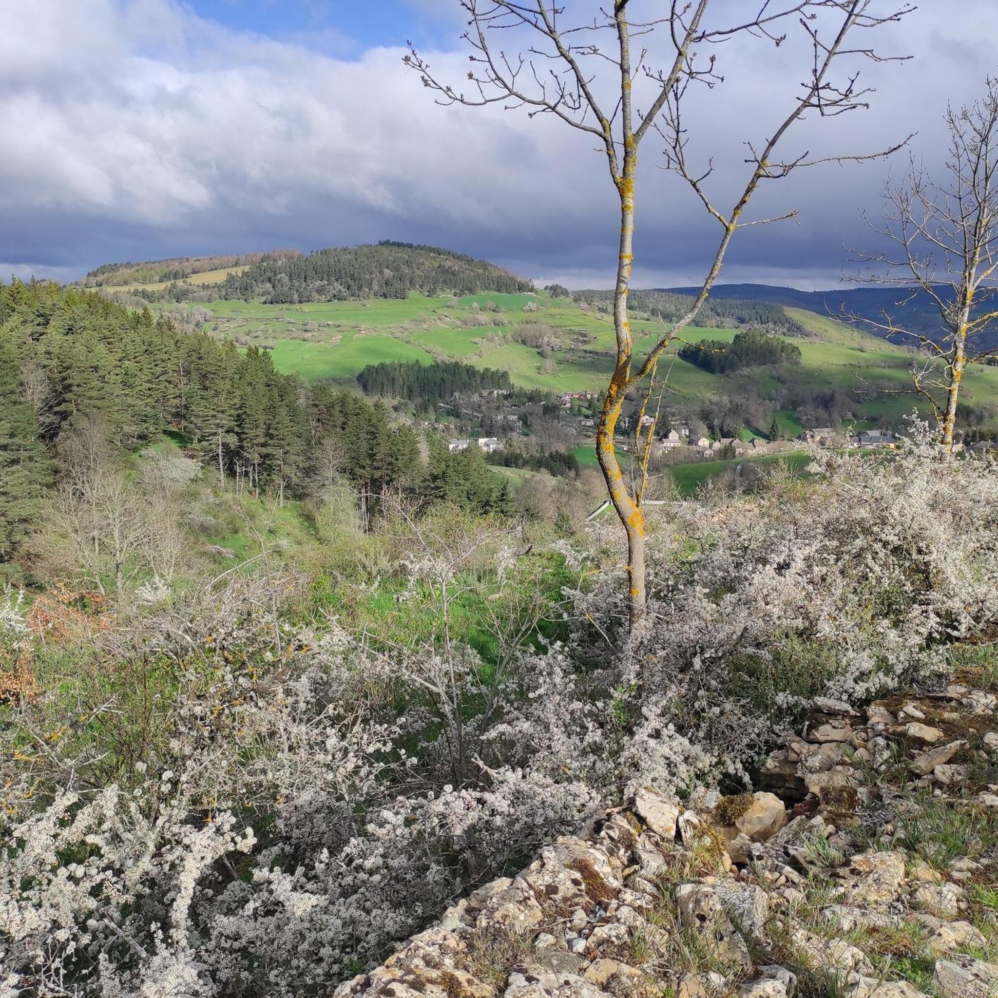
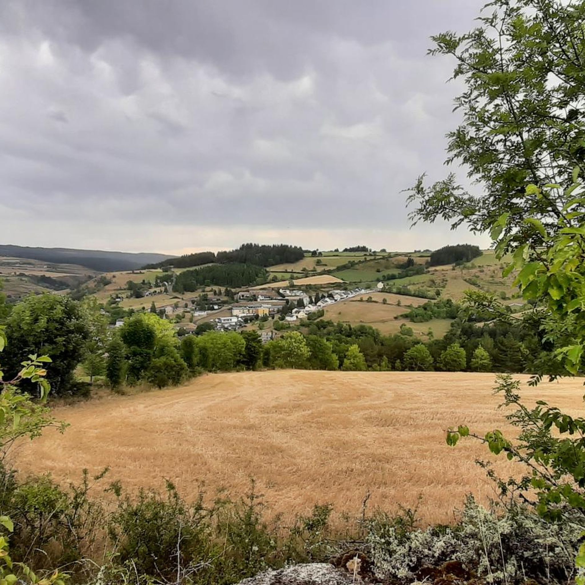
Hiking around Le Bleymard offers access to diverse landscapes within the Cévennes National Park, situated at the foot of Mont Lozère. The region is characterized by granite formations, extensive moorlands, and forests, with elevations reaching the summit of Finiels at 1,699 meters. Hikers will encounter the sources of the Lot River, fresh mountain springs, and varied geological features including sedimentary and metamorphic rocks.
Best hiking trails around Le Bleymard
- The most popular hiking route is Sentier des sources du lot – loop from Le Bleymard – Parc national des Cévennes, a 8.2 miles (13.2 km) trail that takes 3 hours 43 minutes to complete. This moderate route explores the natural springs and early course of the Lot River.
- Another top favourite among local hikers is Mont Lozère – Finiels Summit loop from Le Bleymard, a difficult 11.7 miles (18.8 km) path. This trail ascends to the peak of Finiels, offering expansive views across the granite landscapes of Mont Lozère.
- Local hikers also love the Sources du Lot loop from Communauté de communes Mont Lozère, a 4.9 miles (7.9 km) trail leading through green pastures and near mountain springs, often completed in about 2 hours 15 minutes.
- Hiking around Le Bleymard is defined by the high-altitude plateaus of Mont Lozère, ancient forests, and the winding Lot River sources. The network offers options for different ability levels, from gentle loops to challenging ascents.
- The routes in Le Bleymard are highly rated by the komoot community with an average score of 4.7 stars from over 360 reviews. More than 2,600 hikers have used komoot to explore Le Bleymard's varied terrain.
Last updated: August 23, 2026
4.6
(7)
19
hikers
Moderate hike. Good fitness required. Mostly accessible paths. Sure-footedness required.
4.7
(94)
763
hikers
27.6km
08:16
850m
850m
Hard hike. Very good fitness required. Easily-accessible paths. Suitable for all skill levels.

Sign up for free
4.8
(8)
72
hikers
Hard hike. Very good fitness required. Mostly accessible paths. Sure-footedness required.
4.9
(9)
47
hikers
19.7km
05:50
570m
570m
Hard hike. Very good fitness required. Mostly accessible paths. Sure-footedness required.
30
hikers
10.2km
03:05
350m
340m
Moderate hike. Good fitness required. Easily-accessible paths. Suitable for all skill levels.
Get access to more routes and recommendations from other explorers.
Sign up for free
Already have an account?
Our route recommendations are based on thousands of hikes, rides, and runs completed by other people on komoot.
Start today with a free account
Your next adventure awaits.
Login or Signup
Popular around Le Bleymard


Tips from the Community

Good offer and, since it was open, it strongly influenced the choice of campsite.
4
0

The acoustics are incredibly good!
1
0

Good opportunity to replenish supplies. Also with regional specialties.
1
0


Chasseradès is home to the Saint-Blaise church, a 12th century building. This Romanesque church is famous for its comb bell tower and its medieval frescoes. A historic place and an attraction for those who follow the Stevenson Trail or cross the Cévennes.
2
0

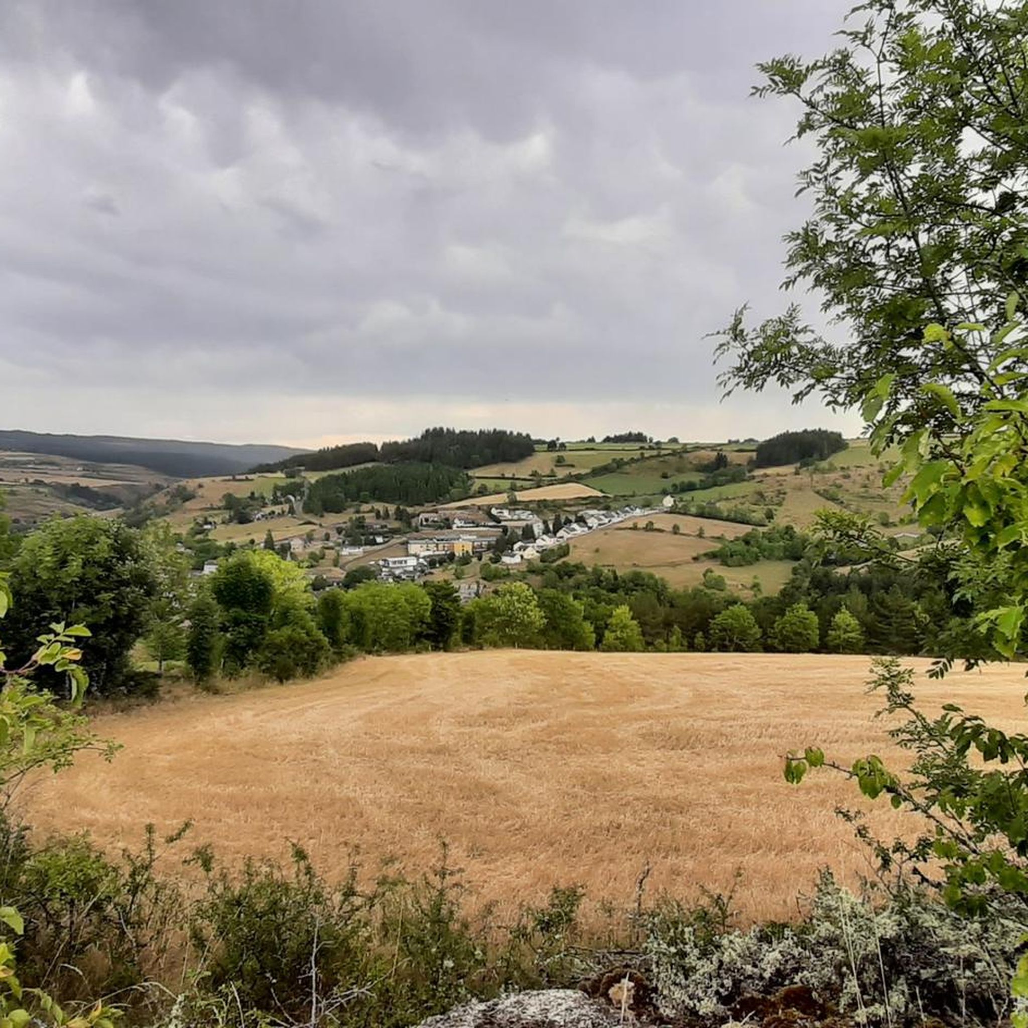
Le Bleymard is perched at an altitude of 1,100 meters. This town located at the foot of Mont-Lozère is known in particular for its ski resort but also for the numerous hikes that surround it. Here shops and lodgings enliven the small town.
2
0
Frequently Asked Questions
How many hiking trails are available around Le Bleymard?
Le Bleymard offers a wide variety of hiking opportunities, with over 130 routes available. These trails cater to different preferences, ranging from easy strolls to challenging ascents.
What types of terrain will I encounter on hikes near Le Bleymard?
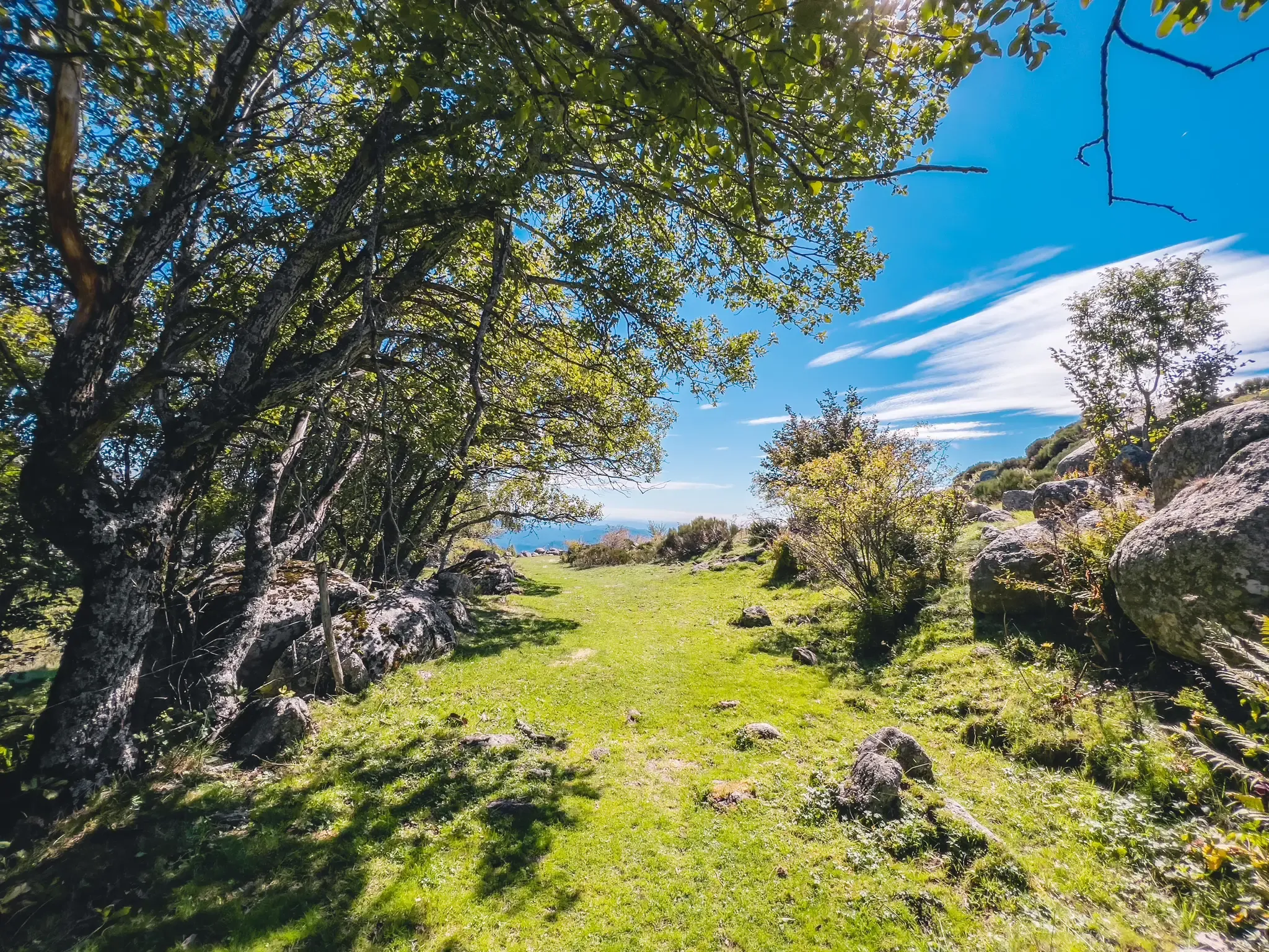
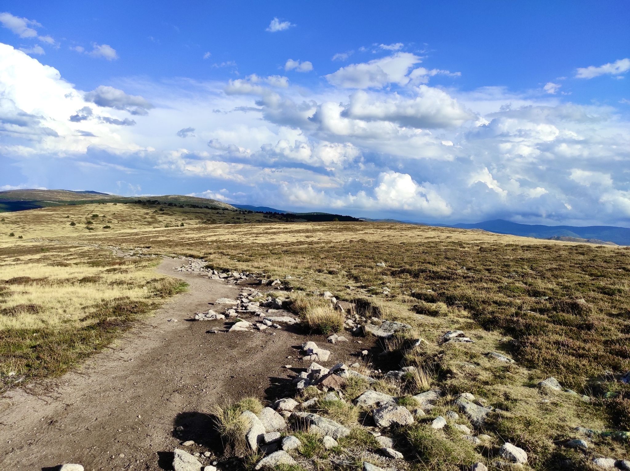
You can expect diverse terrain, including the gentle slopes of Mont Lozère adorned with heath and granite rocks, extensive moorlands, and ancient forests. Trails often traverse green pastures, follow crystal-clear creeks, and explore areas shaped by millennia of erosion, featuring giant granite boulders.
What is the best time of year to go hiking in Le Bleymard?
The scenery around Le Bleymard transforms beautifully with the seasons. Spring brings vibrant yellow brooms, summer offers a purple haze of heather, and autumn paints the landscape with the red hues of wild blueberries. Each season provides a unique and enriching hiking experience.
Are there any easy or family-friendly hiking routes in Le Bleymard?
Yes, Le Bleymard offers 26 easy routes suitable for families and those seeking a more relaxed walk. These often include gentle loops through pastures and forests, providing pleasant walks for all ages. A moderate option that is popular is the Sources du Lot loop from Communauté de communes Mont Lozère, which is about 4.9 miles (7.9 km) long.
What are some notable natural features or landmarks I can see while hiking?
Hikers can explore the sources of the Lot River, fresh mountain springs, and the expansive granite landscapes of Mont Lozère. The area is also home to the Finiels Summit, offering panoramic views, and various geological formations including sedimentary and metamorphic rocks.
Are there any historical or cultural sites along the trails?
The landscapes of Mont Lozère are rich in history, marked by thousands of years of pastoral and agricultural practices. You can discover burons (shepherd's huts), drailles (ancient transhumance paths), and granite crosses. The village of Le Bleymard itself features Romanesque architecture and ancient houses. The ruins of the Château du Tournel are also nearby.
What is the difficulty range of hikes in Le Bleymard?
The trails around Le Bleymard cater to all skill levels. There are 26 easy routes, 72 moderate routes, and 36 difficult routes. This variety ensures options for everyone, from gentle loops to challenging ascents like the Mont Lozère – Finiels Summit loop from Le Bleymard.
What do other hikers enjoy most about hiking in Le Bleymard?
The area is highly rated by the komoot community, with an average score of 4.7 stars from over 360 reviews. Hikers often praise the diverse landscapes within the Cévennes National Park, the tranquility of the mountain experience, and the well-maintained trails that lead to natural springs and panoramic viewpoints.
Are there any long-distance hiking trails that pass through Le Bleymard?
Yes, Le Bleymard is a significant point on the famous Stevenson Trail (GR70). This long-distance path, which traces Robert Louis Stevenson's journey with a donkey, offers a mix of open landscapes, peat bogs, forests, and moorlands, attracting numerous hikers seeking an extended adventure.
Can I find circular hiking routes around Le Bleymard?
Many of the routes around Le Bleymard are designed as circular paths, allowing you to start and end your hike in the same location. Examples include the popular Sentier des sources du lot – loop from Le Bleymard – Parc national des Cévennes and the Mont Lozère – Finiels Summit loop from Le Bleymard.
What is the highest point I can reach on a hike in Le Bleymard?
The highest point you can reach on a hike in the area is the Finiels Summit, which stands at 1,699 meters. Reaching this peak offers expansive views across the granite landscapes of Mont Lozère.
Most popular routes around Le Bleymard
Most popular attractions around Le Bleymard

Get inspired with the komoot mobile app


Explore more
Browse the best Hikes in other regions.
