The best walks and hikes around Saint-Martin-De-Varreville
4.5
(126)
929
hikers
85
hikes
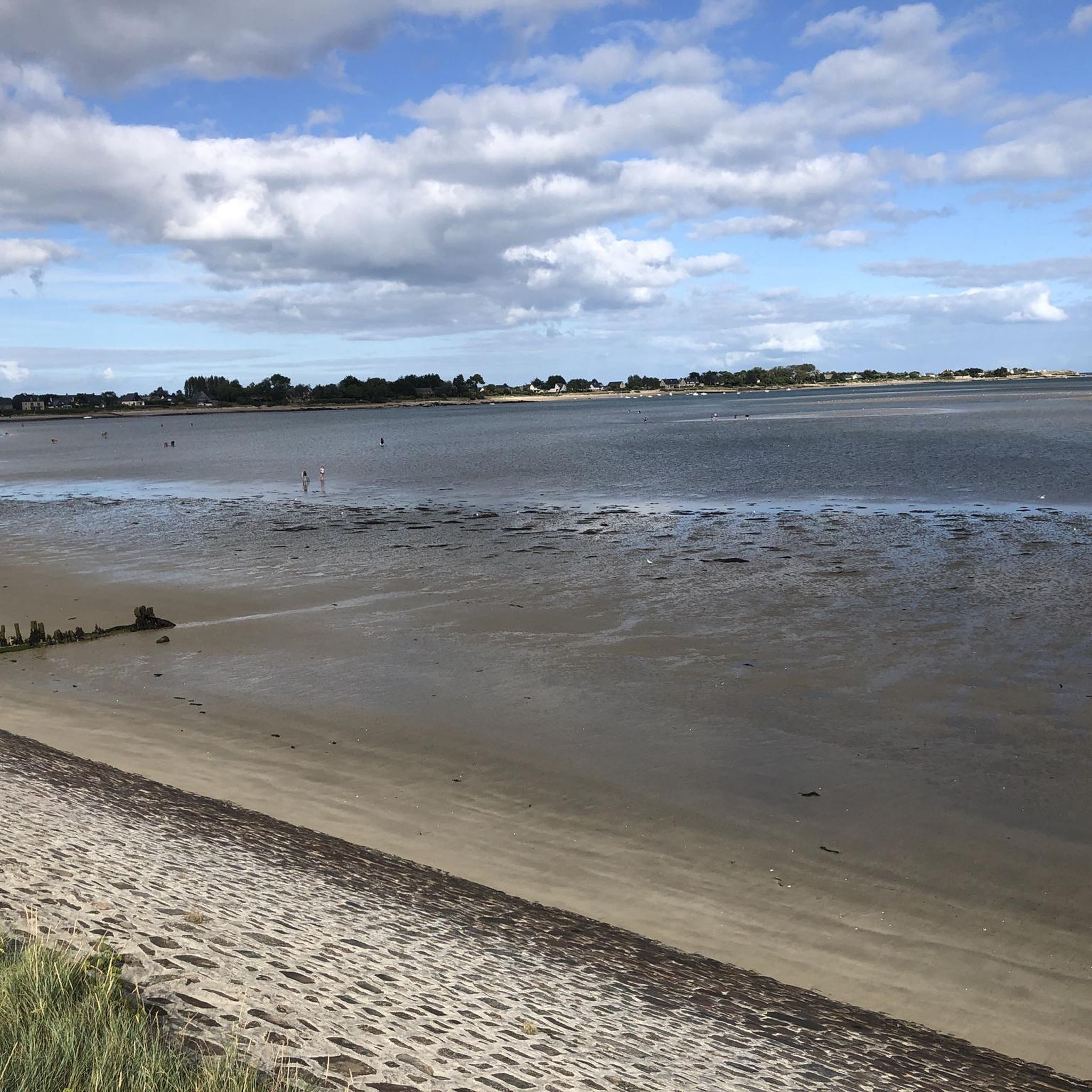
Hiking around Saint-Martin-De-Varreville offers trails primarily along the Normandy coast, characterized by flat terrain and historical landmarks. The region features open coastal landscapes, often with views of the English Channel. Elevation changes are minimal, making many routes accessible.
Best hiking trails around Saint-Martin-De-Varreville
- The most popular hiking route is Sherman tank at Utah Beach – Utah Beach Museum loop from Hameau Mottet, a 6.4 miles (10.4 km) trail that takes 2 hours 36 minutes to complete. This moderate route…
Last updated: July 5, 2026
4.6
(7)
61
hikers
Moderate hike. Good fitness required. Easily-accessible paths. Suitable for all skill levels.
4.7
(6)
21
hikers
Moderate hike. Good fitness required. Easily-accessible paths. Suitable for all skill levels.

Sign up for free
4.3
(4)
28
hikers
Hard hike. Very good fitness required. Easily-accessible paths. Suitable for all skill levels.
4.7
(6)
24
hikers
Moderate hike. Good fitness required. Easily-accessible paths. Suitable for all skill levels.
4.7
(3)
18
hikers
Moderate hike. Good fitness required. Easily-accessible paths. Suitable for all skill levels.
Get access to more routes and recommendations from other explorers.
Sign up for free
Already have an account?
Our route recommendations are based on thousands of hikes, rides, and runs completed by other people on komoot.
Start today with a free account
Your next adventure awaits.
Login or Signup
Popular around Saint-Martin-De-Varreville

Other adventures around Saint-Martin-De-Varreville

Tips from the Community

Utah Beach was the first of the five D-Day landing beaches to be recaptured by the Allies. It was chosen to retake Cherbourg and its deep-water port. Several memorials along the beach allow visitors to rediscover the history of the landings.
0
0

A beautiful, expansive beach steeped in history.
2
1
Memorials that remind you again and again "NEVER AGAIN WAR" that is something the warmongers from 🇩🇪 and the 🇪🇺 should especially make their motto.
3
0
A place steeped in history, one of the five landing zones.
2
0
A visit to the museum is worthwhile.
3
0
Bronze statues, very detailed, depicting landing with a landing craft.
2
0
Beautiful bronze statue in honor of the fallen Allied soldiers.
2
0
The landing craft used during the invasion of Normandy on June 6, 1944 (D-Day) were essential for the successful landing of the Allied troops. LCVP (Landing Craft, Vehicle, Personnel) – "Higgins Boat": The most widely used landing craft. Capacity: 36 soldiers or one jeep, or 8,000 pounds of cargo. Length: approximately 11 meters. Special feature: Front hatch for quick unloading of troops.
2
0
Frequently Asked Questions
How many hiking trails are available around Saint-Martin-De-Varreville?
There are over 80 hiking trails around Saint-Martin-De-Varreville, offering a variety of options for different skill levels. You'll find 42 easy routes, 37 moderate routes, and 9 more challenging trails.
Are there easy or family-friendly hiking options in Saint-Martin-De-Varreville?
Yes, Saint-Martin-De-Varreville offers many easy and family-friendly hiking options, with 42 routes classified as easy. The terrain is generally flat along the Normandy coast, making it suitable for all ages. For example, the area around Utah Beach provides accessible paths with historical points of interest.
What kind of scenery can I expect on hikes around Saint-Martin-De-Varreville?
Hikes around Saint-Martin-De-Varreville primarily feature open coastal landscapes with views of the English Channel. You'll experience flat terrain, often passing significant historical sites related to WWII, such as monuments and landing beaches.
Are there any circular walking routes in the area?
Yes, many of the trails around Saint-Martin-De-Varreville are circular, allowing you to start and end at the same point. An example is the Sherman tank at Utah Beach – Utah Beach Museum loop from Hameau Mottet, which is a moderate 6.4-mile (10.4 km) loop.
What historical landmarks can I see along the hiking trails?
The region is rich in WWII history. Along the trails, you can visit significant landmarks such as the 2nd Armored Division Monument, the Sherman tank at Utah Beach, and the Km 00 Liberty Road. Many routes, like the 2nd Armored Division Monument – Leclerc Monument at Utah Beach loop, specifically highlight these sites.
Are there any specific trails that offer views of castles or historical buildings?
While the focus is often on WWII sites, you can find historical buildings nearby. For instance, the area around Ravenoville features the Ravenoville Beach and Redoubt. You might also explore trails that pass near structures like Château Bel Enault or Quinéville Castle, though these might require a slight detour from the immediate coastal paths.
What is the best season for hiking in Saint-Martin-De-Varreville?
The best season for hiking in Saint-Martin-De-Varreville is generally from spring to early autumn (April to October). During these months, the weather is milder and more predictable, making coastal walks more enjoyable. The flat terrain means trails are usually accessible year-round, but winter can bring colder winds from the English Channel.
Are there any long-distance hiking routes available?
Yes, for those seeking longer adventures, there are more challenging routes. The Leclerc Monument at Utah Beach – Landing beach loop from Audouville-la-Hubert is a difficult 16.0-mile (25.7 km) trail that takes approximately 6 hours 34 minutes to complete, offering an extensive exploration of the coastal areas.
What do other hikers enjoy most about the trails in Saint-Martin-De-Varreville?
The trails in Saint-Martin-De-Varreville are highly rated by the komoot community, with an average score of 4.6 stars. Hikers often praise the unique combination of stunning coastal views and the profound historical significance of the WWII landing beaches and monuments. The flat, accessible terrain is also frequently highlighted as a positive aspect.
Are there any hikes that start or pass through Saint-Martin-de-Varreville itself?
Yes, some routes are directly accessible from the village. For example, the Utah Beach Museum – Utah Beach loop from Saint-Martin-de-Varreville is a moderate 17.3 km (10.7 miles) trail that begins in Saint-Martin-de-Varreville and explores the nearby historical sites.
Can I find trails that offer a mix of coastal and inland scenery?
While the region is predominantly coastal, some routes may venture slightly inland, offering a glimpse of the rural Norman countryside. However, the defining characteristic of hiking here remains the open coastal landscapes and historical sites along the English Channel.
Is it possible to find trails with parking at the trailhead?
Given the popularity of the historical sites, many trailheads, especially those near Utah Beach and its museums, offer designated parking areas. It's advisable to check specific route details on komoot for precise parking information for each starting point.
Most popular routes around Saint-Martin-De-Varreville
Most popular attractions around Saint-Martin-De-Varreville

Get inspired with the komoot mobile app


Explore more
Browse the best Hikes in other regions.
