The best running trails around Grandrieu
4.2
(8)
164
runners
31
runs
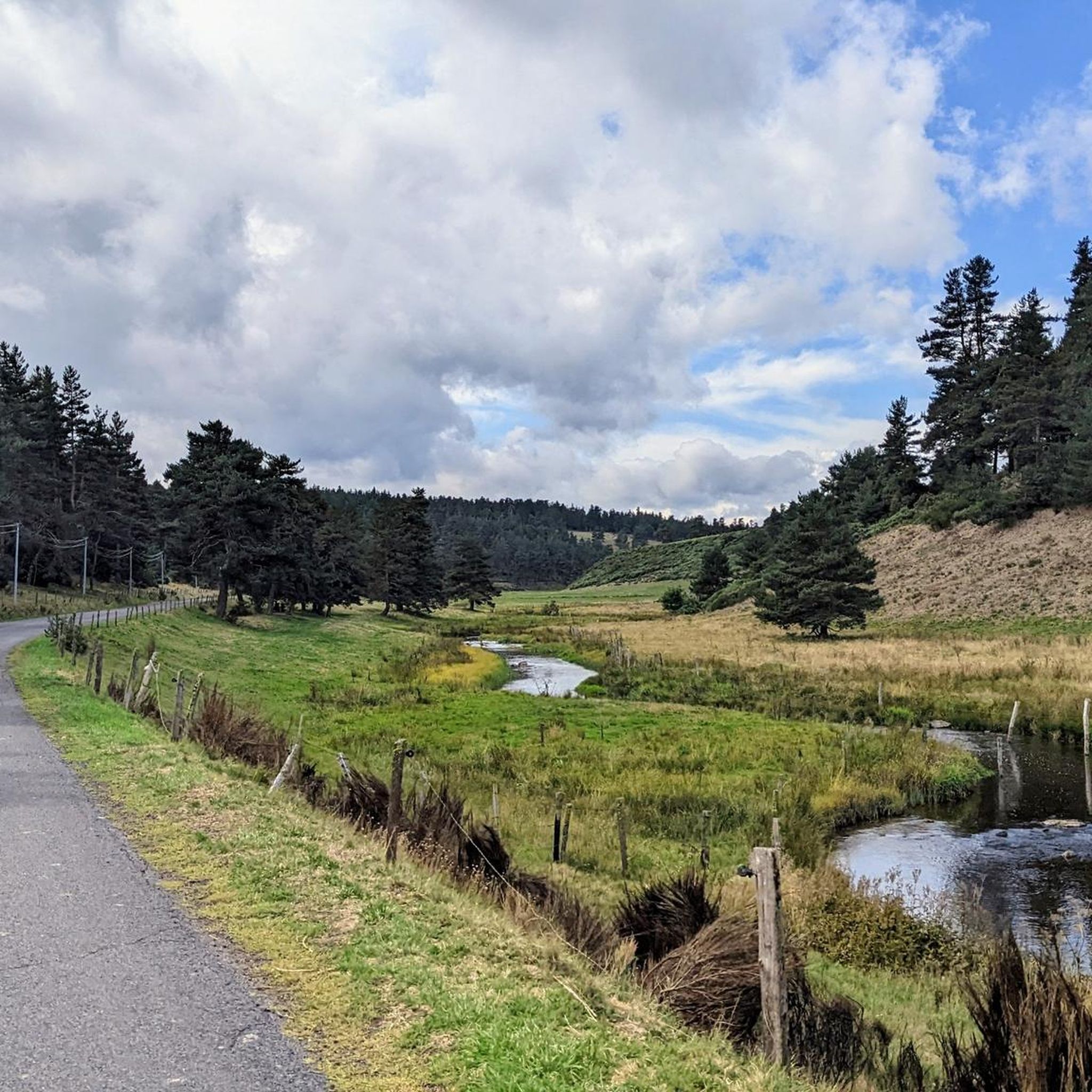
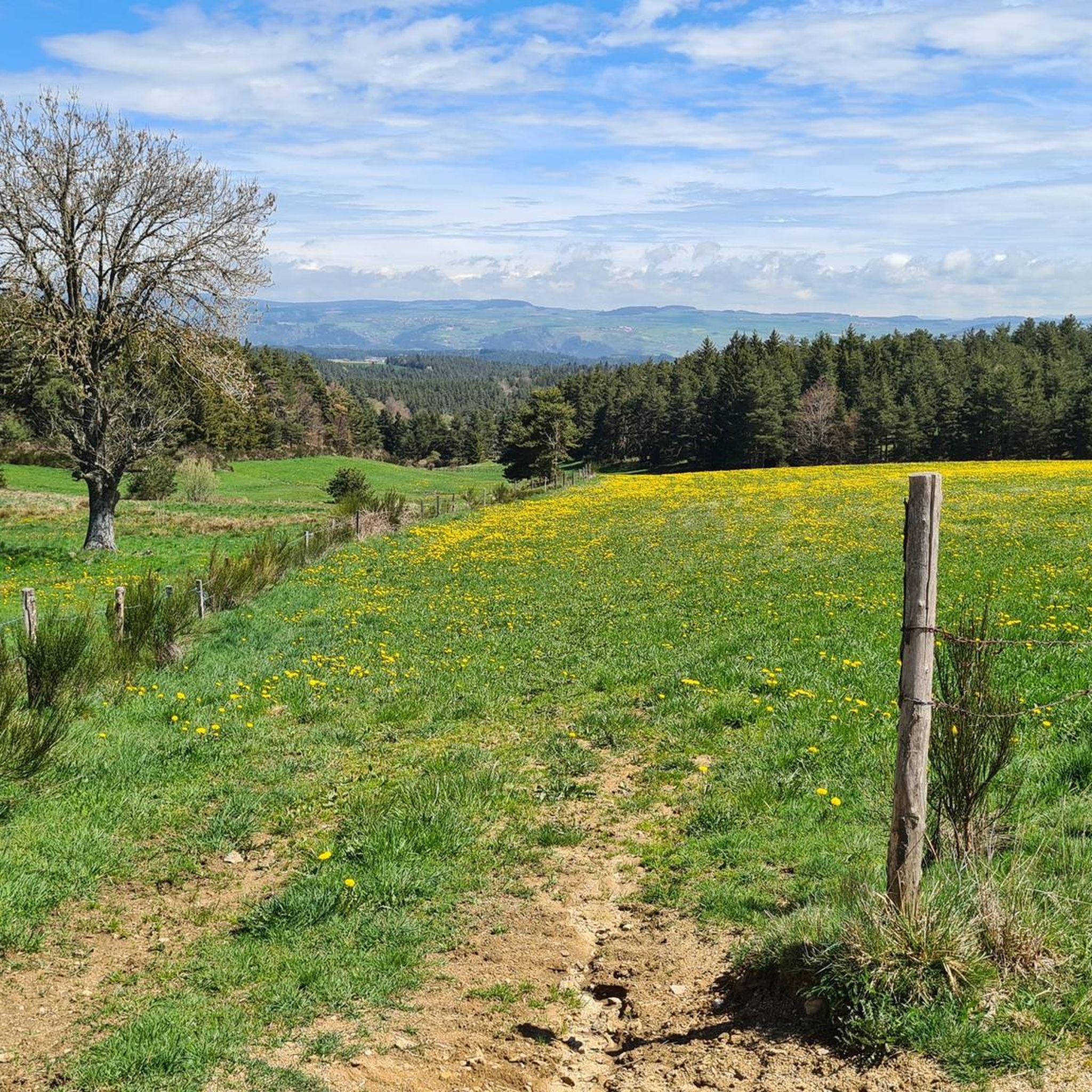
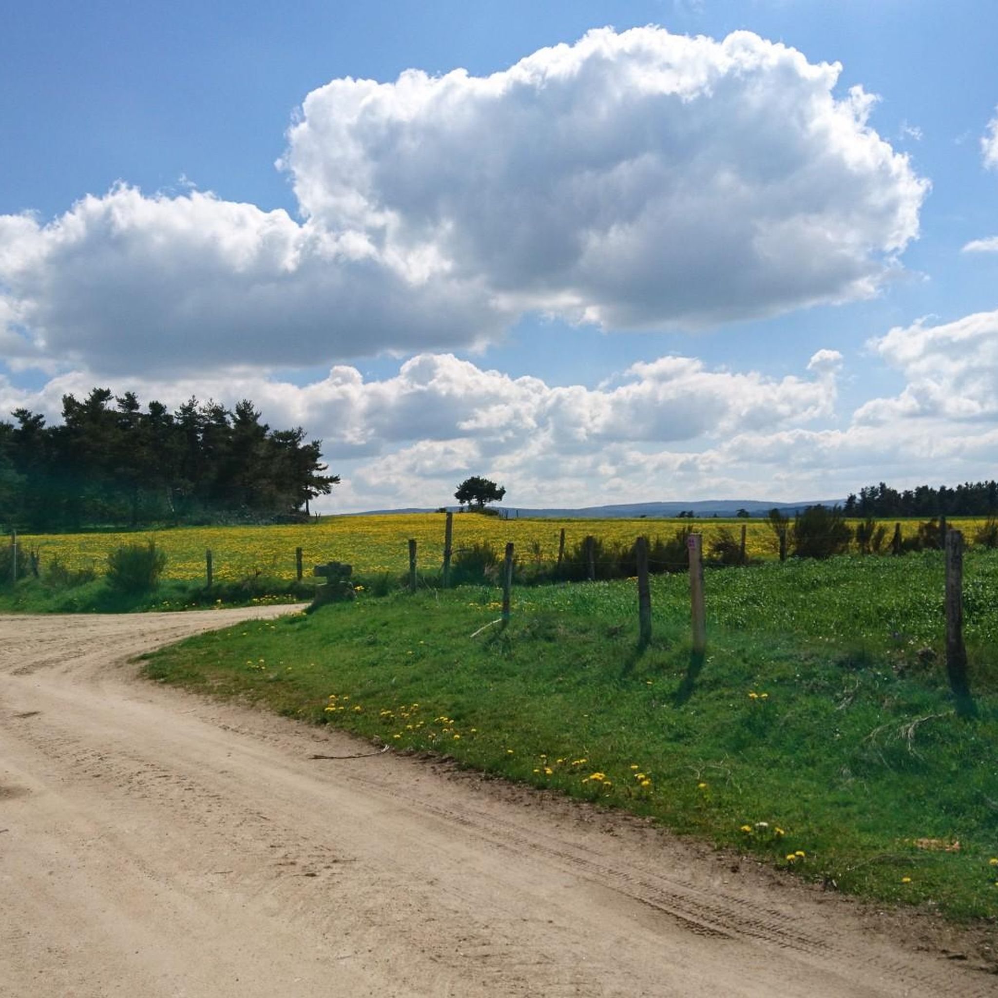
Jogging routes around Grandrieu, located in the Lozère department of France, traverse the rugged North Margeride plateau, characterized by granite and slate landscapes. The region features a network of rivers such as the Chapeauroux and Grandrieu, alongside significant lakes including Naussac Lake and Lake Bouchet. With altitudes ranging from 867m to 1,317m, the terrain offers varied running experiences through forests and open areas.
Best jogging routes around Grandrieu
- The most popular jogging route is Donozau Waterfall – Lake Naussac loop…
Last updated: June 29, 2026
37
runners
30.3km
03:25
410m
410m
Hard run. Very good fitness required. Mostly paved surfaces. Suitable for all skill levels.
13
runners
12.5km
01:32
320m
320m
Hard run. Very good fitness required. Mostly paved surfaces. Suitable for all skill levels.

Sign up for free
5.0
(1)
7
runners
5.09km
00:39
120m
120m
Moderate run. Good fitness required. Mostly paved surfaces. Suitable for all skill levels.
3
runners
7.31km
00:50
150m
150m
Moderate run. Good fitness required. Mostly paved surfaces. Suitable for all skill levels.
3
runners
9.49km
01:08
230m
230m
Moderate run. Good fitness required. Mostly paved surfaces. Suitable for all skill levels.
Get access to more routes and recommendations from other explorers.
Sign up for free
Already have an account?
Our route recommendations are based on thousands of hikes, rides, and runs completed by other people on komoot.
Start today with a free account
Your next adventure awaits.
Login or Signup

Tips from the Community

As you skirt the Naussac reservoir, you will discover the Cascade du Donozau. This waterfall, which cascades down a small rock face, creates a picturesque scene ideal for a peaceful picnic. The surrounding area offers a variety of hiking trails that will allow you to explore the diverse landscapes of the region.
1
0

A true inland sea of 1050 hectares of limpid blue! Supervised beaches, snack bar, hiking trails...
1
0


Very nice reservoir with a delicious restaurant and adjacent campsite.
0
0
Frequently Asked Questions
How many running routes are available around Grandrieu?
There are over 30 running routes available around Grandrieu, catering to various fitness levels. Most of these, about 31, are rated as moderate, with a few challenging options for experienced runners.
What kind of terrain can I expect on jogging trails in Grandrieu?
Jogging trails in Grandrieu primarily traverse the rugged North Margeride plateau, characterized by granite and slate landscapes. You'll find varied terrain, from forest tracks and paths along rivers like the Chapeauroux and Grandrieu, to routes offering views of significant lakes such as Naussac Lake. Altitudes range from 867m to 1,317m, providing diverse running experiences.
Are there any family-friendly running paths in Grandrieu?
While most routes are rated moderate to difficult, the region offers a botanical circuit around Grandrieu village that highlights local tree species, providing an easy and family-friendly walk. For slightly more challenging but still accessible options, look for routes with less elevation gain, though specific 'easy' jogging routes are not prominently featured in the current selection.
Can I find circular running routes in the Grandrieu area?
Yes, many of the running routes around Grandrieu are circular, allowing you to start and finish at the same point. For example, the Running loop from Auroux is a popular circular path traversing varied terrain.
What are some scenic highlights or landmarks I might see while running near Grandrieu?
The region is rich in natural beauty. You can enjoy breathtaking views of lakes like Naussac Lake, as seen on the Donozau Waterfall – Lake Naussac loop from Auroux. Other notable features include the Donozau Waterfall itself, and the picturesque landscapes of the Margeride plateau. For cultural sights, Grandrieu village features a Romanesque church and the Chapel of Saint-Meen. You might also encounter highlights such as Chapeauroux or the Forêt du Sauvage.
Are there any running routes that feature waterfalls or lakes?
Absolutely. The Donozau Waterfall – Lake Naussac loop from Auroux is an excellent choice, offering scenic views of Naussac Lake and leading you past the beautiful Donozau Waterfall. The region's network of rivers and lakes, including Lake Bouchet and Lac De Charpal, ensures many routes will offer water features.
What do other runners enjoy most about jogging in Grandrieu?
The running routes in Grandrieu are highly rated by the komoot community, with an average score of 3.8 stars. Runners often praise the diverse terrain, the extensive forests, and the scenic lakes that define the Margeride plateau, offering a rewarding outdoor experience.
Are there options for longer distance running, for example, around 10k or more?
Yes, Grandrieu offers several routes suitable for longer distances. For instance, the Donozau Waterfall – Lake Naussac loop from Auroux is a challenging 30.3 km (18.8 miles) trail. For a route closer to 10k, the Running loop from Chambon-le-Château is 8.6 km (5.3 miles) and the Running loop from Auroux is 12.5 km (7.8 miles).
Is parking available near the trailheads in Grandrieu?
While specific parking locations for every trailhead are not detailed, Grandrieu and its surrounding villages are generally accessible by car. For routes starting from specific points like the Col de la Baraque des Bouviers, you can typically find parking facilities nearby, making it convenient to access the trails.
What is the best time of year to go running in Grandrieu?
Grandrieu, with its mountain climate, is ideal for running during the warmer months, typically from late spring to early autumn. This period offers pleasant temperatures and lush landscapes. While winter running is possible, be prepared for colder conditions and potentially snow, especially at higher altitudes like the Col de la Baraque des Bouviers.
Are there any running routes suitable for beginners in Grandrieu?
Most of the routes around Grandrieu are rated moderate to difficult due to the mountainous terrain and elevation changes. However, beginners can look for shorter, less steep sections or consider the botanical circuit around Grandrieu village for a gentler introduction to running in the area. The Running loop from Col de la Baraque des Bouviers is one of the shorter options at 5.1 km, though it still involves some elevation.
Can I bring my dog on the running trails in Grandrieu?
The natural environment of Grandrieu, with its extensive forests and trails, is generally welcoming to dogs. However, it's always advisable to keep your dog on a leash, especially in areas with livestock or protected wildlife. Check local signage for any specific restrictions on individual trails or in nature reserves.
Most popular attractions around Grandrieu

Get inspired with the komoot mobile app


Explore more
Browse the best Running Trails & Routes in other regions.
