The best road cycling routes around La Panouse
4.5
(11)
426
riders
29
rides
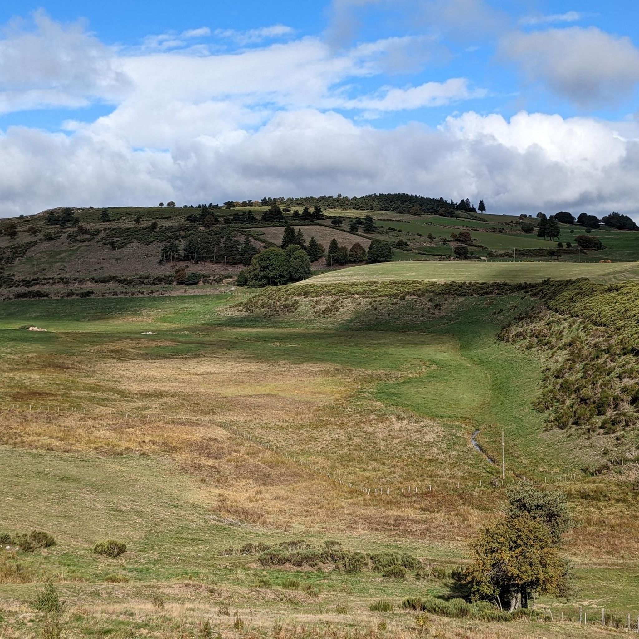
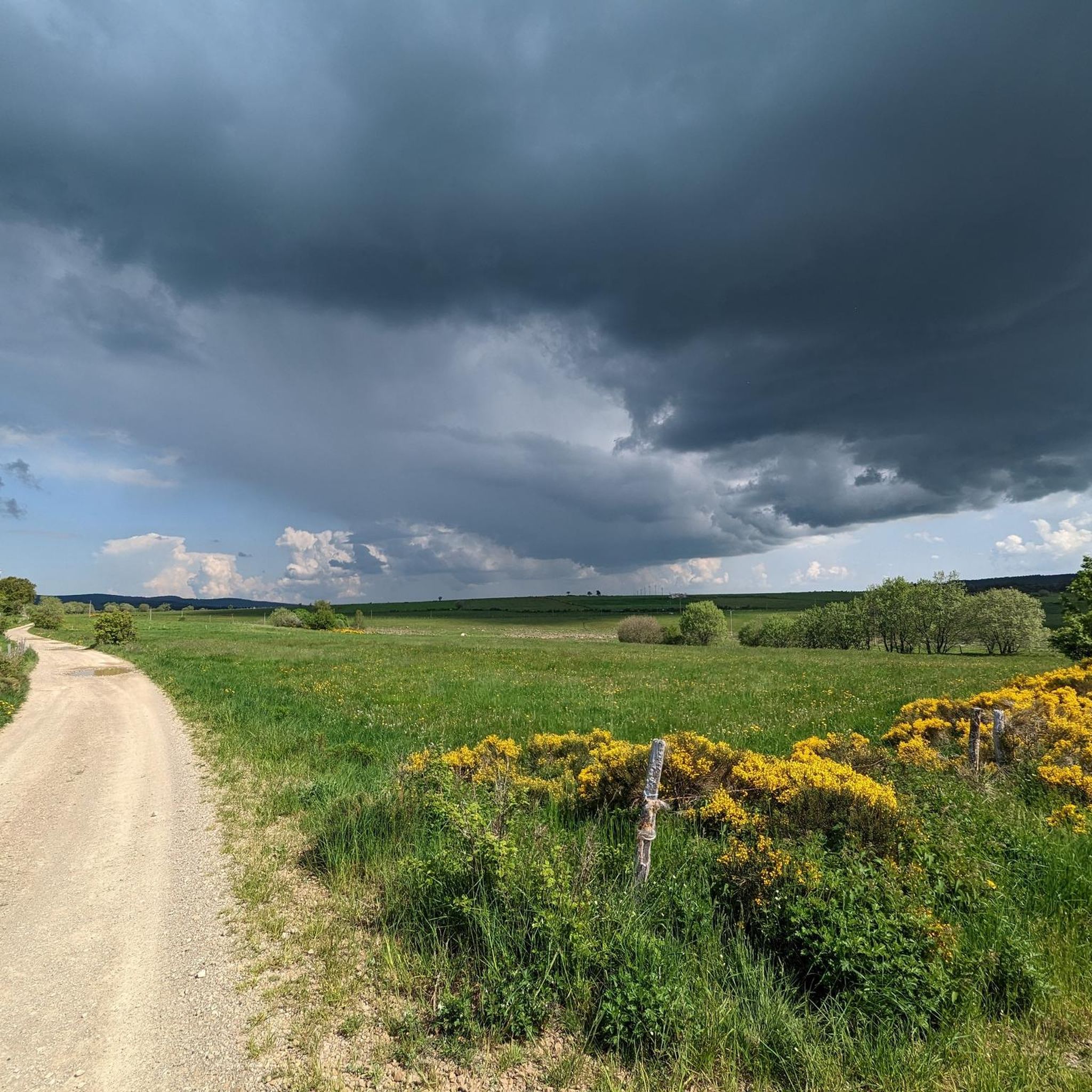
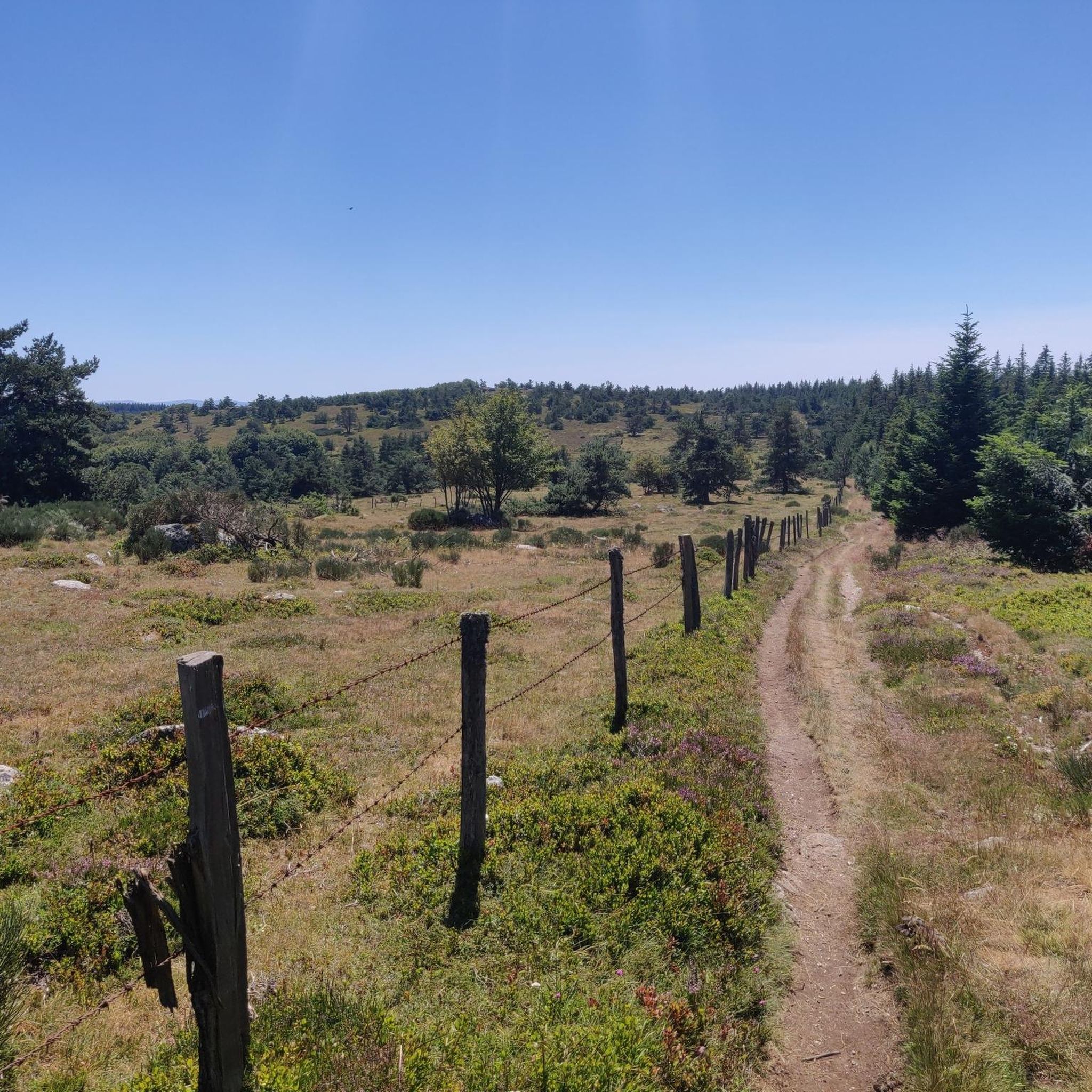
Road cycling routes around La Panouse traverse a diverse and well-preserved natural landscape within the Lozère department of Occitanie, France. The region features wild mountains, vertiginous gorges, and expansive plateaus, offering varied terrain for cyclists. Characterized by its average altitude and significant elevation changes, the area includes granite chaos, moorlands, and coniferous forests. Its low population density ensures quiet roads through exceptional natural environments.
Best road cycling routes around La Panouse
- The most popular road cycling route is Aux delices…
Last updated: June 29, 2026
4.4
(5)
183
riders
67.1km
03:16
990m
990m
Hard road ride. Very good fitness required. Some segments of this route may be unpaved and difficult to ride.
11
riders
55.7km
02:55
970m
970m
Hard road ride. Very good fitness required. Mostly well-paved surfaces and easy to ride.

Sign up for free
5
riders
47.3km
02:26
820m
820m
Moderate road ride. Good fitness required. Mostly well-paved surfaces and easy to ride.
6
riders
33.6km
01:43
520m
520m
Moderate road ride. Good fitness required. Mostly well-paved surfaces and easy to ride.
10
riders
Hard road ride. Very good fitness required. Mostly well-paved surfaces and easy to ride.
Get access to more routes and recommendations from other explorers.
Sign up for free
Already have an account?
Our route recommendations are based on thousands of hikes, rides, and runs completed by other people on komoot.
Start today with a free account
Your next adventure awaits.
Login or Signup

Tips from the Community

We passed and enjoyed this during our Camino trip in 2025: https://youtu.be/xZkbnoCtUzE
1
0
We passed and enjoyed this during our Camino trip in 2025: https://youtu.be/xZkbnoCtUzE
0
0

In one of the best-preserved parts of the Margeride massif, the Three Sisters pass is said to have been named after the story of three sisters born in the parish of La Panouse, all three of whom were hired as servants in the local barracks. According to the dictionary of the rural world, these barracks refer to old inns located at the start of steep roads. This allowed the wagoners to reinforce their teams before setting off.
2
0
The existence of this fortified castle is mentioned as early as the 12th century. It is believed to have been built on an even older fortress. In 1764, the Château de Saint-Alban was requisitioned as headquarters to organize raids aimed at eliminating the Beast of Gévaudan.
1
0
Unexpected and yet very present! In the middle of this wild part of the Margeride massif you will find this superb washing and repair station for your bike: compressor, all valves and tools are available free of charge, while the washing device requires a contribution (normal). Also take the opportunity to fill your water bottles thanks to the small tap on the left.
0
0

Lovely terrace to enjoy in peace. But in high season it will be a madhouse. So go there in the early or late season!
0
0

Somewhere is always up
0
0

From the first glimpses of this lake at its western end to riding high above on a gravel track, this huge body of water is an imposing sight, sitting at 945 metres high (3,100 ft). Riding its full 10-kilometre (6.2 mi) length t's hugely tempting to head in for a dip to cool off in the summer months at one of its beaches near the small town of Naussac, before heading into Langogne.
0
1
Frequently Asked Questions
How many road cycling routes are available around La Panouse?
There are over 20 road cycling routes around La Panouse, catering to various skill levels. You'll find 1 easy route, 12 moderate routes, and 10 difficult routes, offering diverse challenges across the region's landscapes.
What kind of terrain can I expect when road cycling in La Panouse?
Road cycling in La Panouse offers a diverse and challenging terrain. You can expect routes through wild mountains, expansive plateaus, and serene lakes. The region is characterized by significant elevation changes, including granite chaos, moorlands, and coniferous forests, providing undulating terrain with numerous passes.
Are there any challenging road cycling routes with significant elevation gain?
Yes, the Lozère department, where La Panouse is located, is known for its challenging climbs and considerable elevation gains. For instance, the View of Lac de Naussac – Lake Naussac loop from Grandrieu is a difficult 42.3-mile (68.0 km) route with over 1000 meters of elevation gain. Another demanding option is the View of Lac de Naussac – Saint-Haon loop from Auroux, which covers 40.5 miles (65.1 km) with nearly 1200 meters of ascent.
What natural features or landmarks can I see along the cycling routes?
The routes around La Panouse offer stunning natural beauty. You can encounter tranquil scenery around Lake Charpal and enjoy panoramic views from Truc de Fortunio, the highest peak in the Margeride mountains. The Forêt du Sauvage, part of the historic Way of St. James, also offers a blend of natural exploration and cultural heritage.
Are there any moderate road cycling routes suitable for a good workout?
Absolutely. A popular moderate route is the Aux delices de la tour – Langogne loop from Auroux, a 23.2-mile (37.3 km) trail with nearly 600 meters of elevation gain. Another great option is the Roadbike loop from Col de la Baraque des Bouviers, which is 33.6 km long with over 500 meters of climbing.
What is the best time of year for road cycling in La Panouse?
The region's diverse landscapes and significant elevation changes suggest that late spring, summer, and early autumn are generally the best times for road cycling. During these periods, the weather is typically more stable, and the mountain passes are clear, allowing for comfortable exploration of the wild mountains and expansive plateaus.
Are there any loop road cycling routes available?
Yes, many of the routes around La Panouse are designed as loops, allowing you to start and finish in the same location. Examples include the challenging View of Lac de Naussac – Lake Naussac loop from Grandrieu and the moderate Col des Trois Sœurs loop from Abri forestier Mazet Rouge, which covers 46.5 km with over 760 meters of elevation gain.
What do other road cyclists enjoy most about cycling in La Panouse?
The area is highly rated by the komoot community, with an average score of 4.1 stars from over 10 reviews. Cyclists often praise the quiet roads through exceptional natural environments, the diverse and well-preserved landscapes, and the challenging routes with considerable elevation gains that offer a true sense of adventure.
Is La Panouse a good destination for road cyclists looking for quiet roads?
Yes, La Panouse is situated in the Lozère department, which is known for its low population density. This means cyclists can enjoy quiet roads with minimal traffic, allowing for an immersive experience through the region's magnificent and preserved natural landscapes, including wild mountains, gorges, and desert plateaus.
Are there any routes that offer views of Lake Naussac?
Yes, Lake Naussac is a prominent feature in the region. Two notable routes offering views of the lake are the challenging View of Lac de Naussac – Lake Naussac loop from Grandrieu and the View of Lac de Naussac – Saint-Haon loop from Auroux, both providing scenic perspectives of this significant body of water.
What is the average elevation gain on road cycling routes in La Panouse?
Given the region's characteristics of wild mountains and significant elevation changes, routes around La Panouse often feature considerable elevation gains. While specific averages vary, many moderate routes include 500-800 meters of ascent, and difficult routes can easily exceed 1000 meters, providing a substantial climbing challenge.
Most popular routes around La Panouse
Most popular attractions around La Panouse

Get inspired with the komoot mobile app


Explore more
Browse the best Road cycling routes in other regions.
