The best walks and hikes around Brucheville
4.3
(184)
1,356
hikers
118
hikes
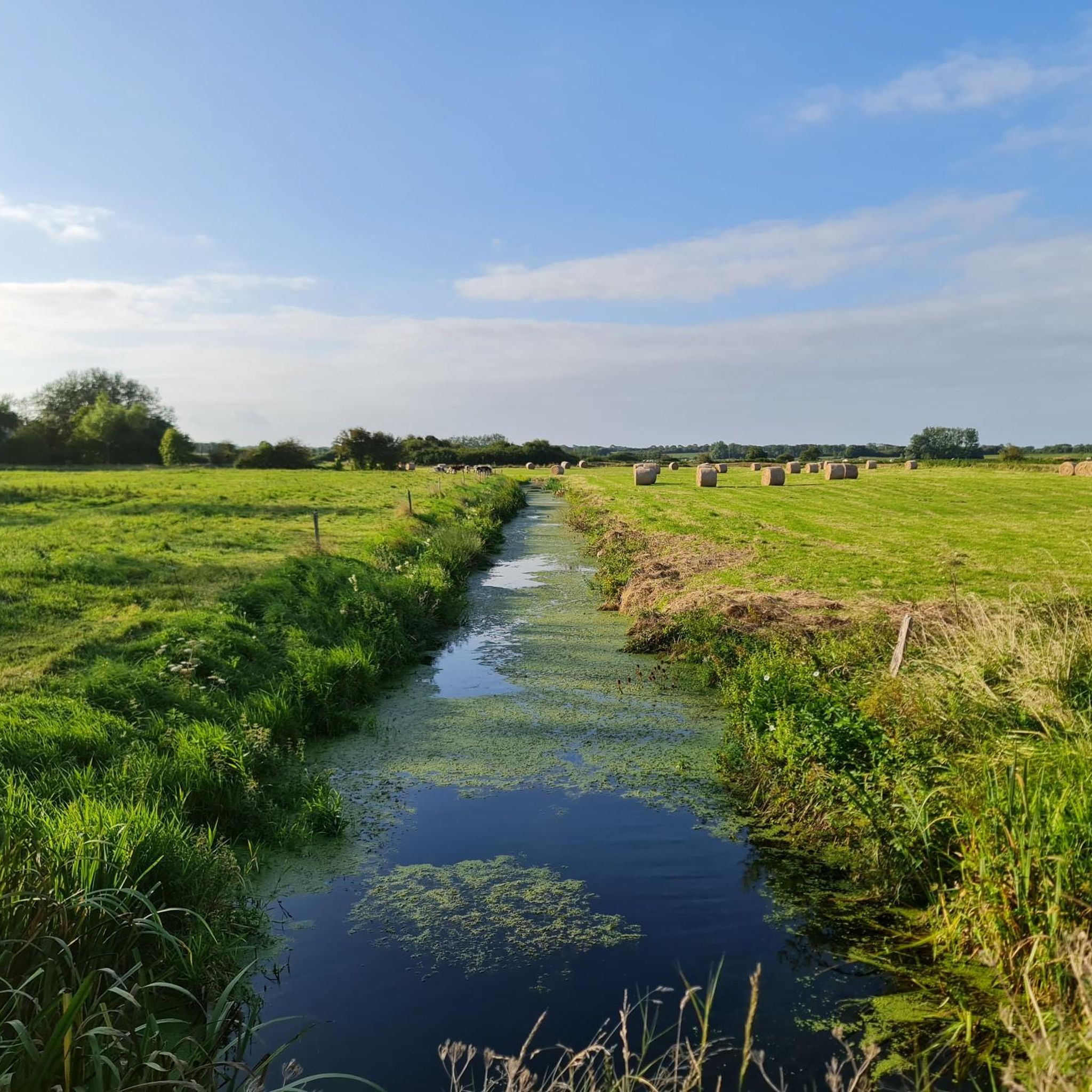
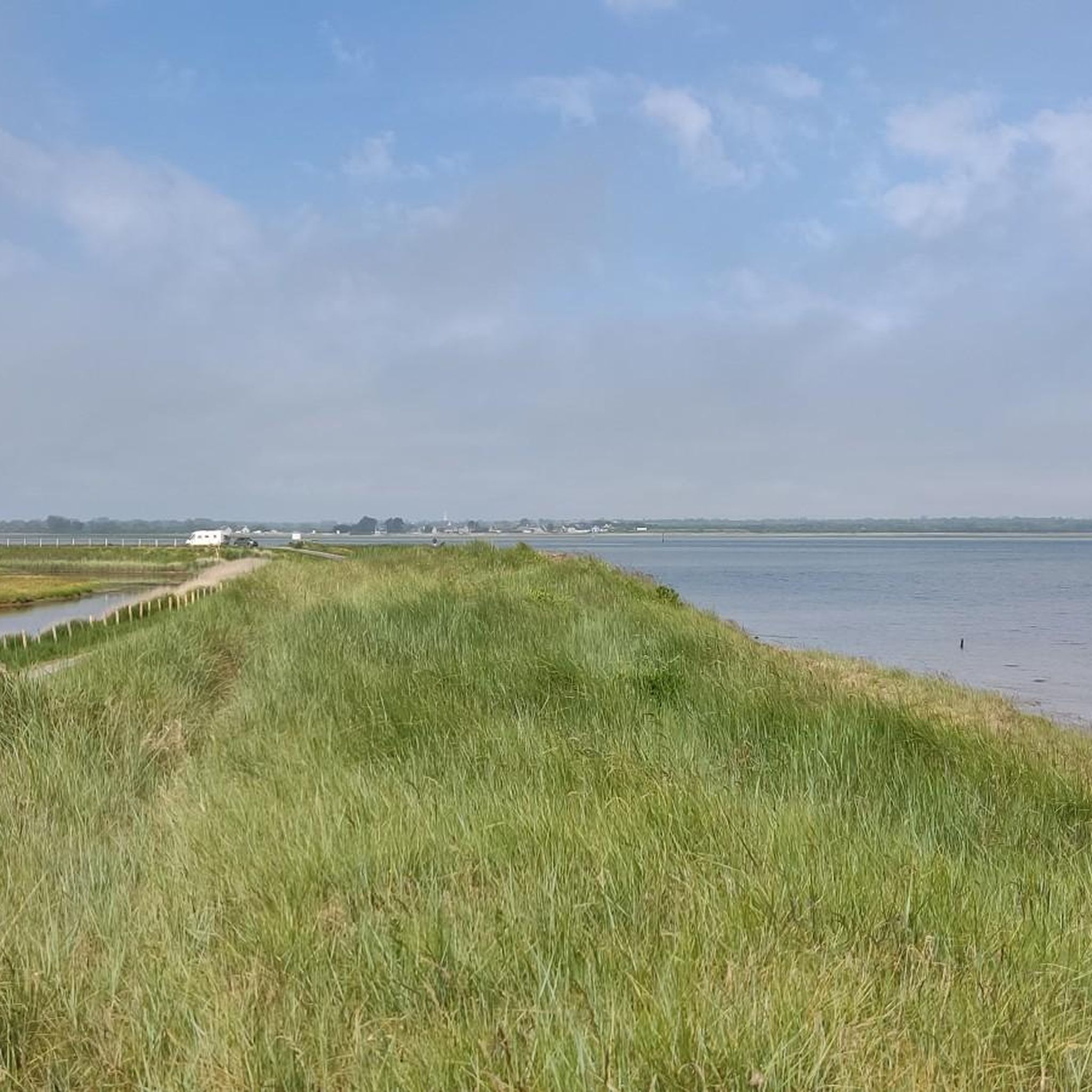
Hiking around Brucheville offers routes through a landscape characterized by coastal areas, historical sites, and the flat terrain of the Normandy marshes. The region features trails that often follow canals and waterways, connecting small villages and natural reserves. Elevation changes are generally minimal, providing accessible paths for various hiking preferences.
Best hiking trails around Brucheville
- The most popular hiking route is Sherman tank at Utah Beach – Utah Beach Museum loop from Brucheville, a 13.0 miles (20.9 km) trail…
Last updated: July 5, 2026
4.0
(5)
15
hikers
11.5km
02:54
10m
10m
Moderate hike. Good fitness required. Easily-accessible paths. Suitable for all skill levels.
5.0
(2)
11
hikers
Hard hike. Very good fitness required. Easily-accessible paths. Suitable for all skill levels.

Sign up for free
3.8
(4)
15
hikers
11.7km
02:55
10m
10m
Moderate hike. Good fitness required. Easily-accessible paths. Suitable for all skill levels.
5.0
(2)
17
hikers
Moderate hike. Good fitness required. Easily-accessible paths. Suitable for all skill levels.
5
hikers
Hard hike. Very good fitness required. Easily-accessible paths. Suitable for all skill levels.
Get access to more routes and recommendations from other explorers.
Sign up for free
Already have an account?
Our route recommendations are based on thousands of hikes, rides, and runs completed by other people on komoot.
Start today with a free account
Your next adventure awaits.
Login or Signup


Tips from the Community

A bit difficult with a dog, unless the dog goes over a grid bridge
0
0

It was under construction here, but you can still go inside to see it.
0
0

Picnic table and clean public toilets behind the town hall of Saint-Hilaire-Petiville
0
0

Memorials that remind you again and again "NEVER AGAIN WAR" that is something the warmongers from 🇩🇪 and the 🇪🇺 should especially make their motto.
3
0
A place steeped in history, one of the five landing zones.
2
0
A visit to the museum is worthwhile.
3
0
Bronze statues, very detailed, depicting landing with a landing craft.
2
0
Beautiful bronze statue in honor of the fallen Allied soldiers.
2
0
Frequently Asked Questions
How many hiking trails are available around Brucheville?
There are over 120 hiking routes in the Brucheville area, catering to various skill levels. You'll find a good mix of easy, moderate, and more challenging paths to explore the coastal areas, historical sites, and marshlands.
Are there easy or beginner-friendly hiking options in Brucheville?
Yes, Brucheville offers numerous easy trails suitable for beginners. For a pleasant, shorter walk, consider the Château Bel Enault loop from Angoville-au-Plain, which is about 7.2 km (4.5 miles) long and features minimal elevation changes.
What kind of terrain can I expect on hikes around Brucheville?
The terrain around Brucheville is primarily characterized by flat landscapes, including coastal paths, marshlands, and trails alongside canals and waterways. Elevation changes are generally minimal, making many routes accessible and enjoyable for various fitness levels.
Are there any circular hiking routes in the Brucheville area?
Many of the trails around Brucheville are designed as loops. For example, the Between marsh and sea.... loop from Pointe de Brévands offers a moderate 11.7 km (7.3 miles) circular path through marshlands with sea views.
What historical sites or landmarks can I see while hiking near Brucheville?
The region is rich in history. Along your hikes, you might encounter significant sites such as the Sherman tank at Utah Beach, the 2nd Armored Division Monument, or the Km 00 Liberty Road. The Canal de Carentan also offers scenic historical perspectives.
What do other hikers say about the trails in Brucheville?
The hiking trails in Brucheville are highly regarded by the komoot community, holding an average rating of 4.4 out of 5 stars from over 160 reviews. Hikers often praise the unique combination of historical significance, tranquil marshland scenery, and accessible coastal paths.
Is Brucheville a good destination for family-friendly hikes?
Yes, the generally flat terrain and numerous easy routes make Brucheville suitable for family hikes. Many trails follow canals or coastal paths, offering gentle walks that are enjoyable for all ages. Look for shorter, well-maintained loops for the best family experience.
Are there any trails that offer scenic viewpoints or natural attractions?
While the region is generally flat, trails often provide scenic views of the marshlands and the sea, particularly routes like the Between marsh and sea.... loop from Brévands. The waterways themselves, such as the Canal de Carentan, offer picturesque natural settings.
What is the best season for hiking in Brucheville?
The best seasons for hiking in Brucheville are typically spring and autumn, when the weather is mild and the natural landscape is vibrant. Summer also offers pleasant conditions, especially for coastal walks, though it can be busier. Winter hiking is possible, but be prepared for cooler temperatures and potentially wet conditions in the marshlands.
What kind of gear should I bring for hiking in Brucheville?
Given the varied terrain, comfortable waterproof hiking shoes are recommended, especially for marshland or coastal paths which can be damp. Layers of clothing are advisable due to changing weather, and a windproof/waterproof jacket is always a good idea. Don't forget water, snacks, and sun protection.
Are there options for longer day hikes in the Brucheville area?
Absolutely. For those seeking a longer day hike, the Carentan Canal and Marina – Notre-Dame de Carentan loop from Brucheville is a challenging 26.5 km (16.5 miles) route that can take over six hours to complete, offering extensive canal-side and urban exploration.
Most popular routes around Brucheville
Most popular attractions around Brucheville

Get inspired with the komoot mobile app


Explore more
Browse the best Hikes in other regions.
