The best running trails around Appeville
4.5
(23)
1,196
runners
136
runs
Jogging around Appeville provides access to the diverse landscapes of the Marais du Cotentin et du Bessin Regional Natural Park, located nearby. This region is characterized by extensive wetlands, bocage, and flat terrain, offering a variety of running surfaces. The park features a network of paths, including greenways along towpaths and old railway lines, suitable for different fitness levels.
Best jogging routes around Appeville
- The most popular jogging route is The Stone loop from Carquebut, a 9.5 miles (15.3…
Last updated: May 12, 2026
5.0
(2)
13
runners
15.3km
01:36
80m
80m
Hard run. Very good fitness required. Mostly paved surfaces. Suitable for all skill levels.
15
runners
19.3km
02:06
110m
110m
Hard run. Very good fitness required. Mostly paved surfaces. Suitable for all skill levels.

Sign up for free
20
runners
11.6km
01:13
10m
10m
Moderate run. Good fitness required. Mostly paved surfaces. Suitable for all skill levels.
5.0
(2)
18
runners
20.8km
02:12
100m
100m
Hard run. Very good fitness required. Mostly paved surfaces. Suitable for all skill levels.
6
runners
5.35km
00:33
20m
20m
Moderate run. Good fitness required. Mostly paved surfaces. Suitable for all skill levels.
Get access to more routes and recommendations from other explorers.
Sign up for free
Already have an account?
Our route recommendations are based on thousands of hikes, rides, and runs completed by other people on komoot.
Start today with a free account
Your next adventure awaits.
Login or Signup


Tips from the Community

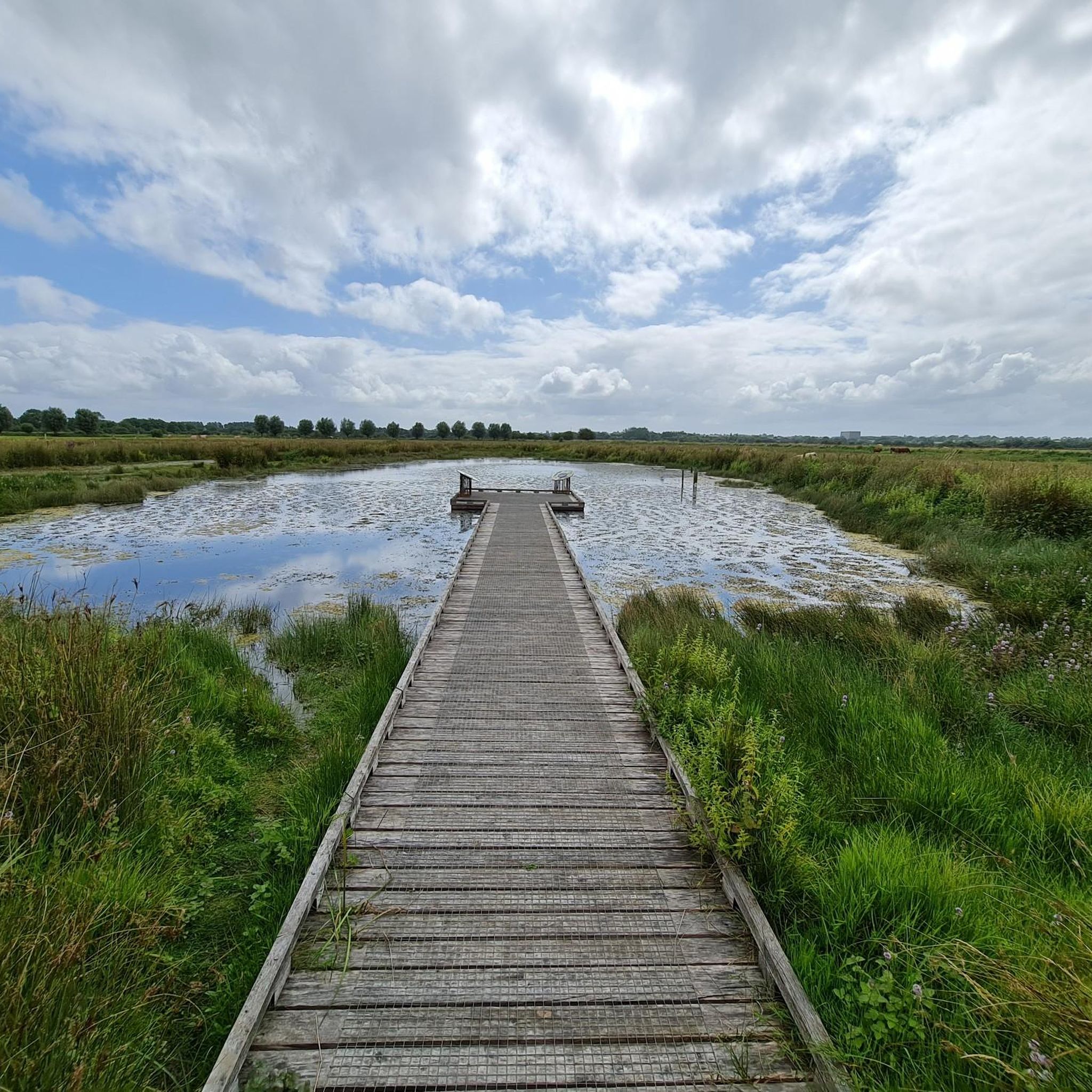
This lock bridge in Carentan offers a beautiful view of the marsh landscapes. Its five flood gates close when the tide rises and open when it falls.
1
0

Arriving in the small, characteristic village of Saint-Côme, you will see its 11th century church. 12th century, former priory of the Benedictines of Cluny (unique in the Manche) classified as a Historic Monument surrounded by its cemetery. Nave of 3 bays with framed aisles, projecting transept, choir of 2 bays, cul-de-four apse, chapel with flat apse from the 14th century, portal tympanum with Gothic inscription, flamboyant side portal, square tower with balustrade and octagonal pyramid , exterior bas-relief (fable of the fox and the stork); the 12th century baptismal font century, renaissance bas-relief (life of Saint-Jean-Baptiste).
0
0
Take a detour to the I.S.M.H listed Pont de la Barquette where you discover how this lock bridge works with its 5 water gates which close at rising tide and open to the user. The Pont de la Barquette, a strategic point to reach to liberate Carentan in 1944, was nicknamed the “Corner of Hell”: at dawn on June 6, the American soldiers arriving at La Barquette encountered severe resistance from German fire. The battle resulted in 150 German and 40 American casualties. On June 10, American troops arrived at Carré de Choux in Carentan. @OT Cotentin Bay
0
0

The viewpoint over the Grande Plaine offers an exceptional panorama of the marshes and the Ouve river, where traditional barges transported goods. You can also admire the historic lime kilns which were once used to produce lime for construction and agriculture. Don't forget your camera and binoculars to immortalize the beauty of this natural landscape.
3
0

The port in the northeast of the city is located at the end of a channel connecting the bay of Les veys and was inaugurated in 1982. When the tide rises, the so-called muscaret can be seen from the lock that closes the entrance to the harbour: a phenomenon in which a wave that flows into the canal from the sea is broken by the resistance of the river water that flows into the sea in the opposite direction. (Michelin)
8
0
The Carentan Canal runs through an aqueduct dating from 1994 over the N13. So don't be surprised if you see sailing boats passing above you from the car. The structure presented the road and hydraulic engineers with many technical problems, including with regard to watertightness and drainage. Le Pont-Canal : opened on June 6, 1994. Le Pont-Canal passes the national route 13 à 2 x 2 journeys (reliant Caen à Cherbourg) along the canal de Carentan à la mer sur le port. Le chantier a duré 22 mois avec en average 70 persons par jour.
2
0
The Haut Dick lock is the gateway to the port of Carentan. Once you have passed the lock, you enter the English Channel via the Baie des Veys. The lock allows you to take advantage of the loop it creates and “go around Haut Dick”.
4
0
All that remains of the Romanesque building is the nave, the apse, the west facade, the tympanum of the door of the north cross and the north wall of the choir. In 1388 the church was restored after a fire and the tower was crowned with a spire inspired by that of the church of Notre-Dame de Carentan. In the fifteenth century, the church was enlarged by adding two side chapels on either side of the choir. The flamboyant square bell tower of the second half of the fifteenth century sees its four faces partly occupied by two large and deep ogival bays, and ends with an openwork balustrade with pinnacles in the corners and in the middle of the sides. The octagonal spire built backwards has its edges softened by a torus embellished with hooks, just like the pinnacles
2
0
Frequently Asked Questions
What kind of terrain can I expect on running routes around Appeville?
The running routes around Appeville primarily feature the diverse landscapes of the Marais du Cotentin et du Bessin Regional Natural Park. You'll find extensive wetlands, bocage (small fields with hedges), and generally flat terrain. Some paths are paved, while others offer more natural surfaces, including greenways along old railway lines and towpaths, providing a varied experience for runners.
Are there running routes suitable for beginners near Appeville?
Yes, the region offers routes for all fitness levels. While many are moderate or difficult, there are 16 easy running routes available. For example, the Running loop from Auvers is a moderate 5.4 km path with minimal elevation, making it a good option for those starting out or looking for a less strenuous run.
What natural features can I see while jogging in the Appeville area?
Jogging in the Appeville area, particularly within the Marais du Cotentin et du Bessin Regional Natural Park, allows you to experience vast wetlands, bocage, moors, and even some dunes and beaches further within the park. The marshes are especially striking in winter when they 'whiten' into a vast lake, attracting numerous bird species. Throughout the year, you can observe diverse flora and fauna, including various birds, cows, horses, donkeys, and dragonflies.
Are there any interesting landmarks or attractions along the running routes?
Yes, several points of interest can be found near the running routes. You might encounter historical sites like Notre-Dame de Carentan or explore the town of Carentan itself. The Canal de Carentan is a prominent feature, offering scenic paths. The Marais de Pommenauque also provides a glimpse into the region's unique marshland environment.
What do other runners enjoy most about the trails around Appeville?
The running routes around Appeville are highly rated by the komoot community, with an average score of 4.5 stars from over 20 reviews. Runners often praise the varied terrain, which includes wetlands, bocage, and canal paths, offering diverse natural features. The accessibility of routes for different fitness levels and the immersive natural beauty of the Marais du Cotentin et du Bessin Regional Natural Park are frequently highlighted.
Are there any challenging running routes for experienced runners?
Absolutely. For those seeking a more challenging experience, there are 24 difficult running routes available. The Stone loop from Saint-Côme-du-Mont is a difficult 17.3 km path with significant elevation changes, offering a demanding run through the regional landscape. Another option is The Stone loop from Carquebut, a 15.3 km difficult trail with varied terrain and elevation.
Can I find circular running routes in the Appeville area?
Yes, many of the running routes around Appeville are designed as loops, allowing you to start and finish at the same point. Examples include The Stone loop from Carquebut, The Stone loop from Saint-Côme-du-Mont, and The Barquette Bridge – Canal de Carentan loop from Saint-Côme-du-Mont, which leads through canal paths and flat marshlands.
What is the best time of year to go jogging around Appeville?
The best time to go jogging depends on your preference for scenery. The Marais du Cotentin et du Bessin Regional Natural Park is beautiful year-round. In winter, the marshes 'whiten' into a vast expanse of water, offering unique views and attracting many birds. Spring and autumn provide milder temperatures and vibrant colors, while summer is ideal for longer daylight hours, though it can be warmer.
Are there any family-friendly running options near Appeville?
Yes, the region offers several routes suitable for families, especially those looking for easier, flatter paths. The extensive network of paths within the Marais du Cotentin et du Bessin Regional Natural Park includes 'voies vertes' (greenway routes) along towpaths and old railway lines, which are generally flat and scenic, perfect for a family run or walk.
Is parking available at the trailheads for running routes?
While specific parking details for every trailhead are not always listed, many routes within the Marais du Cotentin et du Bessin Regional Natural Park, especially those starting from towns like Carquebut or Saint-Côme-du-Mont, typically have designated parking areas nearby. It's advisable to check the specific route details on komoot for parking information at your chosen starting point.
Do I need any permits to jog in the Marais du Cotentin et du Bessin Regional Natural Park?
Generally, you do not need specific permits for jogging on the public paths and trails within the Marais du Cotentin et du Bessin Regional Natural Park. However, always respect local regulations, especially in nature reserves or protected areas like Beauguillot, where access might be restricted to observation points to protect wildlife.
Are there any shorter running routes available for a quick workout?
Yes, if you're looking for a shorter run, there are options available. For instance, the Running loop from Auvers is a moderate 5.4 km route that can be completed in about 33 minutes, perfect for a quick and refreshing jog.
Most popular attractions around Appeville

Get inspired with the komoot mobile app


Explore more
Browse the best Running Trails & Routes in other regions.
