The best walks and hikes around Loutehel
4.4
(297)
2,086
hikers
72
hikes
Hiking around Loutehel offers diverse landscapes in the Brittany region of France. The area is characterized by picturesque river valleys, such as the Ropenard Valley, and is situated near the extensive Forêt de Paimpont. While inland, Loutehel's location provides access to varied terrain, from serene riverside paths to forest trails. The region features gentle elevation changes, with most routes remaining under 200 meters of ascent.
Best hiking trails around Loutehel
- The most popular hiking route is Le thelin – Rumigny…
Last updated: May 23, 2026
4.8
(6)
27
hikers
12.3km
03:23
200m
200m
Moderate hike. Good fitness required. Easily-accessible paths. Suitable for all skill levels.
5.0
(1)
13
hikers
7.73km
02:03
70m
70m
Moderate hike. Good fitness required. Easily-accessible paths. Suitable for all skill levels.

Sign up for free
5.0
(1)
14
hikers
8.79km
02:21
100m
100m
Moderate hike. Good fitness required. Easily-accessible paths. Suitable for all skill levels.
3.0
(1)
15
hikers
10.7km
02:53
130m
130m
Moderate hike. Good fitness required. Easily-accessible paths. Suitable for all skill levels.
3.0
(2)
14
hikers
5.76km
01:32
60m
60m
Easy hike. Great for any fitness level. Easily-accessible paths. Suitable for all skill levels.
Get access to more routes and recommendations from other explorers.
Sign up for free
Already have an account?
Our route recommendations are based on thousands of hikes, rides, and runs completed by other people on komoot.
Start today with a free account
Your next adventure awaits.
Login or Signup
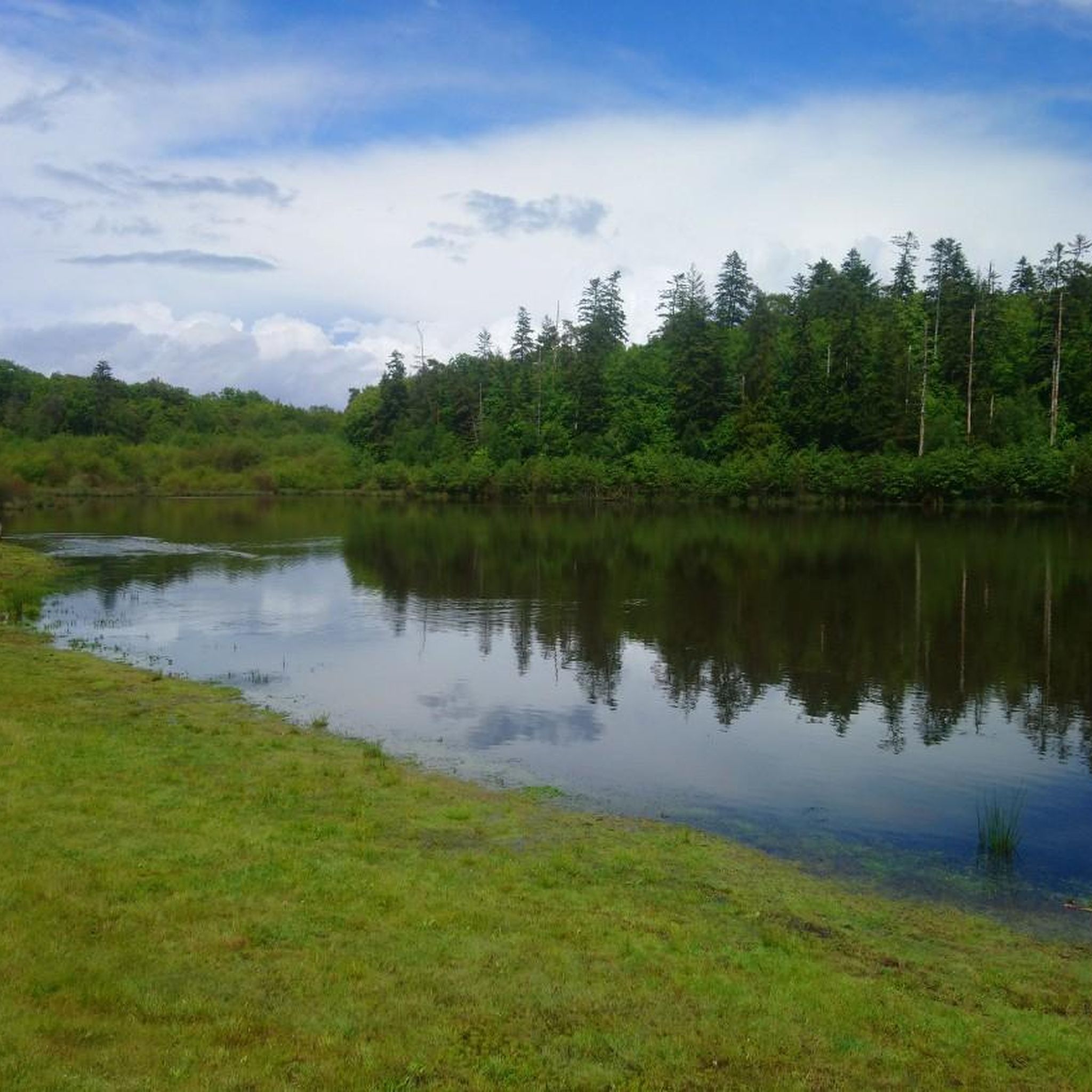

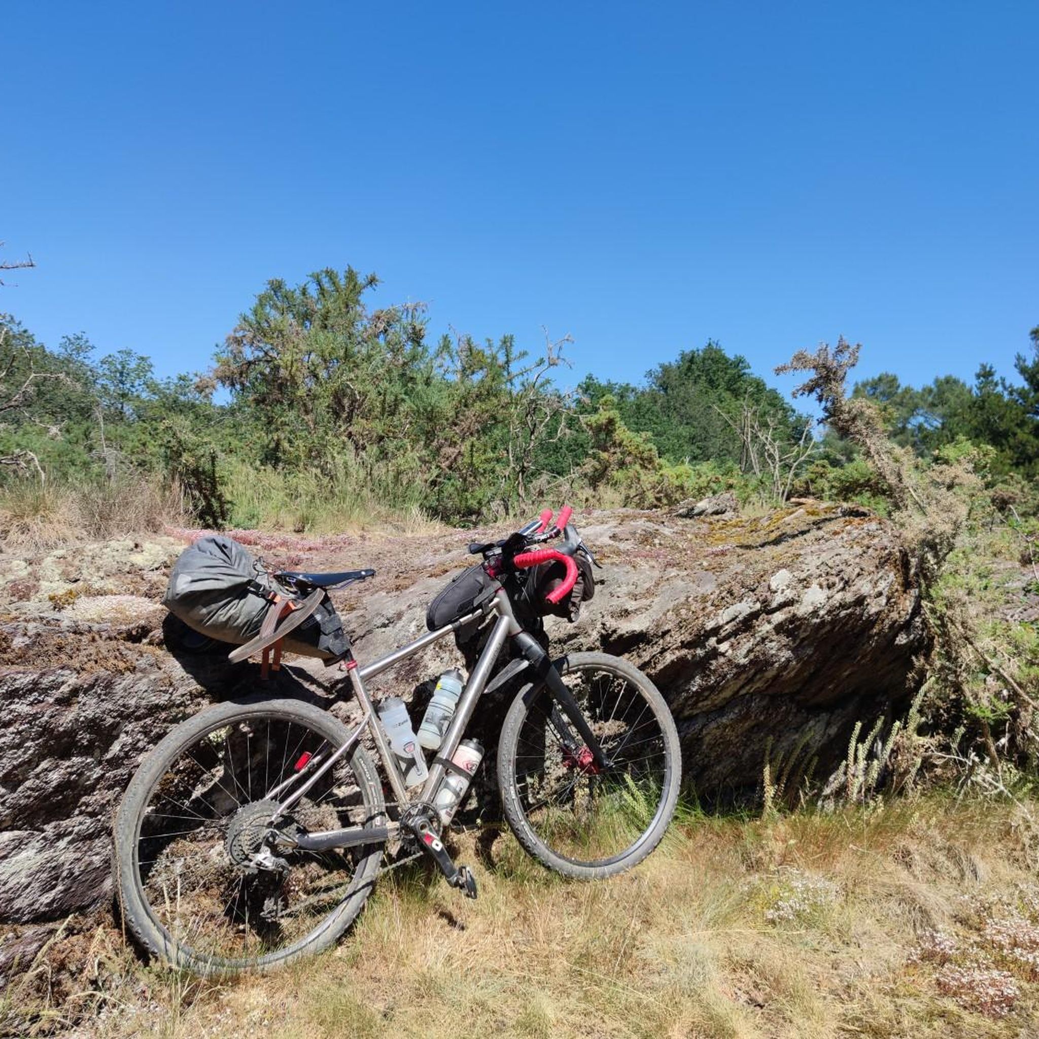

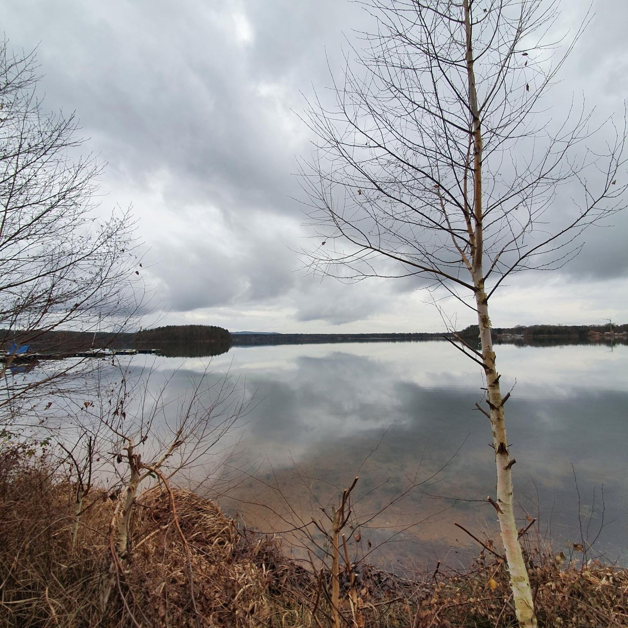
Tips from the Community

From there, if you look to the left, you will see a beautiful stone bridge spanning the Aff river. The road won't lead there, it's not suitable for road cycling, but you can walk around and explore the surrounding area. The Aff is a tributary of the Oust River, it is 66 kilometers long (41 mi).
0
0
Frequently Asked Questions
How many hiking trails are available in Loutehel?
Loutehel offers a wide selection of hiking experiences, with over 60 trails available. These routes cater to various skill levels, from easy strolls to more challenging day hikes.
Are there easy hiking options for beginners or families in Loutehel?
Yes, Loutehel is well-suited for beginners and families, with 22 easy routes available. An excellent option is the Bridge of Morbihan loop from Guer, an easy 5.8 km path that takes about 1 hour 30 minutes to complete, offering pleasant landscapes.
What kind of landscapes can I expect to see while hiking near Loutehel?
Hiking around Loutehel offers diverse landscapes characteristic of Brittany. You'll encounter picturesque river valleys, such as the Ropenard Valley, extensive woodlands like the legendary Forêt de Paimpont, and open countryside. The region features gentle elevation changes, with most routes remaining under 200 meters of ascent.
Are there any notable attractions or landmarks to explore on hikes in Loutehel?
Yes, the area around Loutehel is rich in points of interest. You can explore historical sites like the Paimpont Abbey and Pond, or the ancient Menhirs of Monteneuf. The Paimpont Forges also offer a glimpse into local history within the nearby forest.
Is Loutehel a good destination for dog-friendly walks?
Many trails in the Loutehel area are suitable for walks with dogs, especially those through woodlands and open countryside. It's always recommended to keep dogs on a leash, particularly near livestock or in protected natural areas, and to check specific trail regulations before you go.
What are the typical distances and durations for hikes in the Loutehel area?
Hikes in Loutehel vary in length and duration. You can find shorter paths like the Bridge of Morbihan loop from Guer at 5.8 km (1.5 hours), or moderate routes such as the Le thelin – Rumigny Rock loop from Le Thélin, which is 12.3 km and takes around 3 hours 20 minutes. There are also longer, more challenging options up to 19.7 km.
How can I get to the hiking trails around Loutehel using public transport?
While Loutehel is a rural area, public transport options might be limited directly to trailheads. It's advisable to check local bus schedules for connections to nearby towns like Guer or Paimpont, and then plan for a short walk or taxi ride to reach specific starting points. For detailed information, local tourism offices can provide current transport details.
Where can I find parking for hiking trails in Loutehel?
Many trailheads in and around Loutehel, especially those near villages or popular attractions like the Forêt de Paimpont, typically offer designated parking areas. For specific routes, it's often possible to find parking in the nearest village or at marked starting points. Always look for official parking signs.
What do other hikers say about their experiences in Loutehel?
The hiking routes in Loutehel are highly rated by the komoot community, with an average score of 4.4 stars from over 290 reviews. Hikers often praise the quiet woodlands, varied terrain, and the opportunity to explore both natural beauty and historical sites.
Are there opportunities for longer, more challenging hikes in the Loutehel region?
Yes, for those seeking more challenging experiences, Loutehel and its surroundings offer several options. There are 6 difficult routes, including the Slippery Rock – Roche Fleurie Well loop from Coëtquidan, which spans nearly 20 km and involves significant elevation changes, providing a rewarding trek for experienced hikers.
What is the best time of year to go hiking in Loutehel?
The best time to hike in Loutehel is generally from spring to autumn (April to October), when the weather is mild and the natural landscapes are at their most vibrant. Spring brings blooming flora, while autumn offers beautiful foliage. Summer is also pleasant, though trails can be busier.
Are there any specific natural features like rivers or forests that are prominent in Loutehel's hiking landscape?
Absolutely. Loutehel's hiking landscape is defined by its river valleys, such as the Ropenard Valley, and extensive woodlands. The nearby Forêt de Paimpont (Brocéliande Forest) is a major feature, known for its ancient trees and mystical atmosphere. You'll also find picturesque granite boulders and opportunities for riverside walks along rivers like the Gouët and Rance.
Can I find information about the 'Circuit de la vallée de Ropenard' mentioned in the region research?
The Circuit de la vallée de Ropenard is a notable trail near Loutehel, starting near a chapel dedicated to Sainte-Anne in Ropenard. This 8.5 km circuit, taking about 2 hours 15 minutes, winds along a river and allows hikers to discover the miraculous Sainte-Anne's grotto and fountain. You can find more details about this specific circuit on the Ille-et-Vilaine tourism website: Circuit de la vallée de Ropenard.
Are there coastal hiking opportunities near Loutehel?
While Loutehel is inland, its location in Brittany means you're within reach of spectacular coastal hiking. The renowned GR34 long-distance coastal path, also known as the 'customs officers' footpath,' offers breathtaking sea views and dramatic cliffs. Areas like Cap Fréhel, though further afield, exemplify the kind of stunning coastal treks available in the broader region. You can learn more about Cap Fréhel on the Brittany Tourism website: Cap Fréhel.
Most popular attractions around Loutehel

Get inspired with the komoot mobile app


Explore more
Browse the best Hikes in other regions.
