The best walks and hikes around Les Yveteaux
4.3
(168)
756
hikers
65
hikes
Hiking around Les Yveteaux offers access to diverse natural landscapes within the Orne department of north-western France. The region is characterized by its tranquil rural setting, encompassing parts of the Natura 2000 conservation area "Haute vallée de l'Orne et affluents." It borders the Suisse Normande, known for its "mountainous" terrain, deep river gorges carved by the Orne River, and dense forests. The area also benefits from its proximity to the Normandie-Maine Regional Nature Park, featuring forests, moorland, and hedged farmland.
…Last updated: July 5, 2026
4.9
(23)
118
hikers
9.68km
02:28
30m
30m
Moderate hike. Good fitness required. Easily-accessible paths. Suitable for all skill levels.
4.8
(12)
45
hikers
17.9km
04:53
270m
270m
Moderate hike. Good fitness required. Easily-accessible paths. Suitable for all skill levels.

Sign up for free
3.3
(3)
21
hikers
13.7km
03:47
240m
240m
Moderate hike. Good fitness required. Easily-accessible paths. Suitable for all skill levels.
5.0
(4)
19
hikers
18.9km
05:08
260m
260m
Hard hike. Very good fitness required. Easily-accessible paths. Suitable for all skill levels.
5.0
(3)
7
hikers
12.2km
03:22
200m
200m
Moderate hike. Good fitness required. Easily-accessible paths. Suitable for all skill levels.
Get access to more routes and recommendations from other explorers.
Sign up for free
Already have an account?
Our route recommendations are based on thousands of hikes, rides, and runs completed by other people on komoot.
Start today with a free account
Your next adventure awaits.
Login or Signup


Tips from the Community

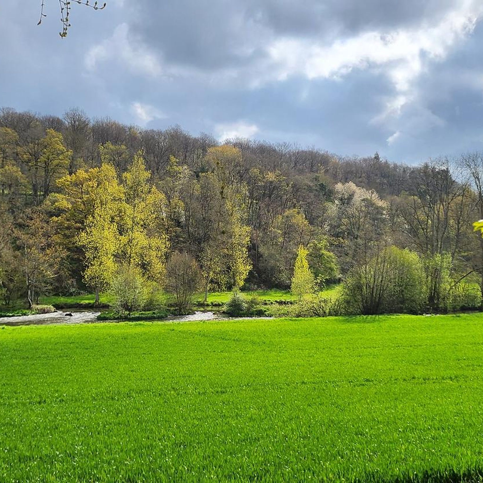
An artificial pool situated in a wild and beautiful landscape, surrounded by forests. Supervised swimming is possible.
0
0

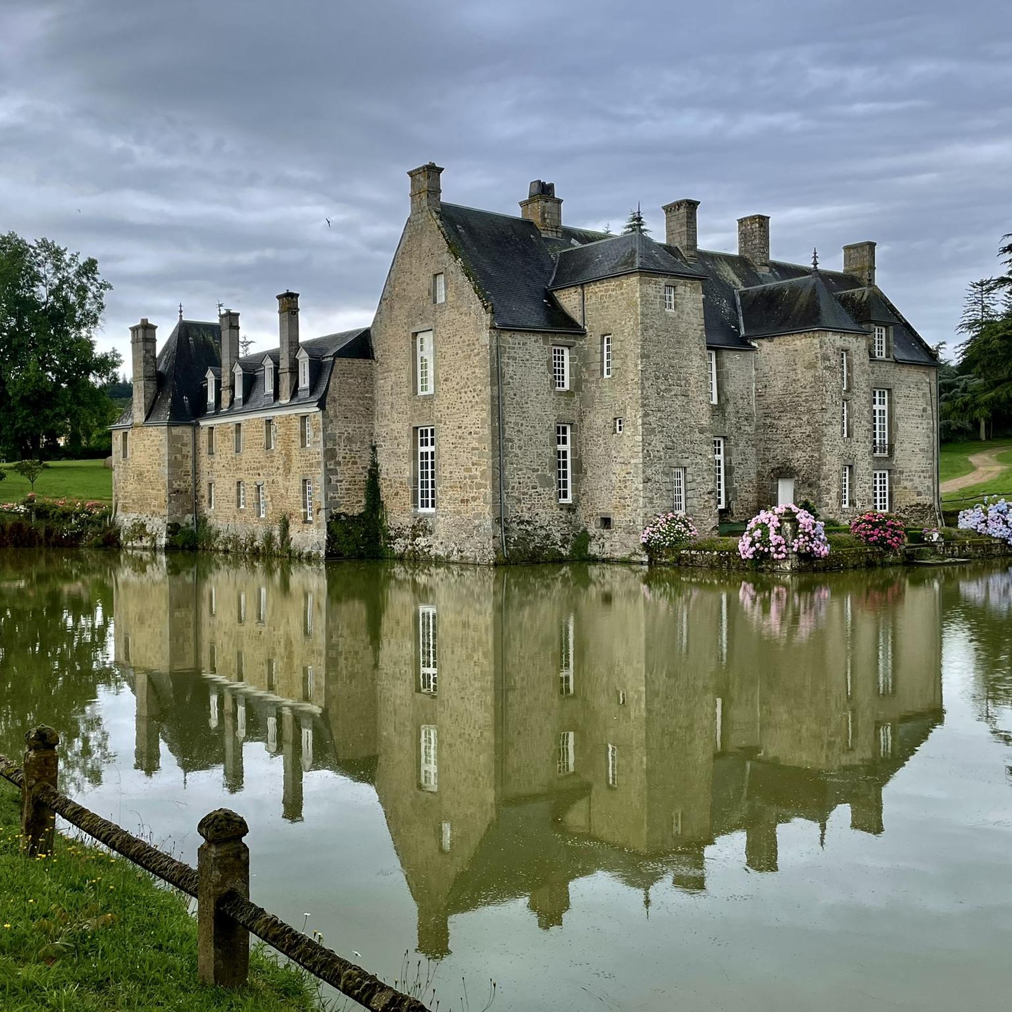
Beautiful 15th century manor, worth a detour
0
0

Marsh Birdwatching
0
0
From here you have a beautiful view of the Marais du Grand-Hazé, the largest marshy area in the Orne. It is labeled Sensitive Natural Space and can be visited on foot via a 7 km signposted loop.
0
0

Mesnil-Glaise is a small village typical of Norman Switzerland. There we discover an imposing castle, dating from the 19th century, which overlooks the Orne river. A small bucolic path allows you to stroll following the meanders of the river.
1
0
Small village in the heart of Suisse Normande born from the merger of two municipalities. It is located on a hillside overlooking a loop of the Orne river. The granite buttresses on which the old houses are built serve as their base. There is a beautiful church and a small pond nearby, dining options, a hotel and a campsite.
1
0

Large lake in the Orne department, located in Suisse Normande. Artificial lake, but very well preserved and landscaped, you can walk there, with even the presence of a restaurant boat during the holidays!
0
0

Superb place, calm, on the borders of the Suisse Normande.
0
0
Frequently Asked Questions
How many hiking trails are available around Les Yveteaux?
There are over 60 hiking trails around Les Yveteaux, offering a diverse range of experiences from easy walks to more challenging routes. These trails explore the varied landscapes of the Orne department, including river valleys, forests, and hedged farmland.
What kind of terrain can I expect on hikes near Les Yveteaux?
The terrain around Les Yveteaux is quite varied. You'll find tranquil rural settings with picturesque hedged farmland, as well as more rugged landscapes bordering the 'Suisse Normande' (Norman Switzerland), which features 'mountainous' terrain, deep river gorges carved by the Orne River, and dense forests. The area also includes parts of the Normandie-Maine Regional Nature Park with its extensive forests and moorland.
Are there any easy hiking routes suitable for beginners or casual walkers?
Yes, there are plenty of easy routes. Approximately 26 of the trails around Les Yveteaux are rated as easy. For example, the Hiking loop from Briouze is an easy 7.4 km (4.6 miles) trail with gentle gradients through the local countryside. Another accessible option is the ND de la Pitié – Meanders of the Orne loop from Ménil-Jean, which is 6.9 km (4.3 miles) long.
What are some notable natural features or landmarks to see while hiking?
The region is rich in natural beauty and historical sites. You can explore the dramatic landscapes of the Suisse Normande, including the Rouvre Gorges and iconic spots like La Roche d'Oëtre. The area is also part of the Natura 2000 conservation area 'Haute vallée de l'Orne et affluents'. For historical landmarks, consider visiting Rabodanges Castle or Rânes Castle, or the serene Lande Forêt Pond.
Are there any circular hiking routes around Les Yveteaux?
Yes, many of the trails are designed as circular routes, allowing you to start and end in the same location. Examples include the Hiking loop from Briouze, the Meanders of the Orne – ND de la Pitié loop from Batilly, and the Putanges-Pont-Écrepin – Le Vieux-Putanges loop from Putanges-Pont-Écrepin. These loops offer convenient ways to explore the diverse scenery.
What do other hikers say about the trails in Les Yveteaux?
The hiking trails around Les Yveteaux are highly rated by the komoot community, with an average score of 4.2 stars from over 130 reviews. More than 600 hikers have used komoot to explore the varied terrain, often praising the peaceful rural settings, the scenic river valleys, and the well-maintained paths.
Are the hiking trails around Les Yveteaux suitable for families with children?
Yes, many trails are suitable for families. The region offers a good selection of easy and moderate routes that can be enjoyed by different age groups. Look for trails with gentle gradients and shorter distances, such as the Hiking loop from Briouze, which is an easy 7.4 km walk through the countryside.
Can I bring my dog on the hiking trails?
Many trails in the region are dog-friendly, especially those through forests and rural areas. However, it's always advisable to keep your dog on a leash, particularly in agricultural areas, near livestock, or within nature conservation zones like the Natura 2000 area, to protect wildlife and ensure safety for everyone.
What is the best time of year to go hiking in Les Yveteaux?
Spring and autumn are generally ideal for hiking in Les Yveteaux, offering pleasant temperatures and beautiful scenery. Spring brings blooming wildflowers and lush greenery, while autumn showcases vibrant foliage. Summer can also be enjoyable, but it's best to start early to avoid the midday heat. Winter hiking is possible, but some paths might be muddy or slippery, and daylight hours are shorter.
Are there options for public transport or parking near the trailheads?
While Les Yveteaux is a rural area, some larger towns nearby may offer public transport connections. However, for most trailheads, driving and parking are the most convenient options. Many routes start from villages or designated parking areas. It's recommended to check specific route details on komoot for information on starting points and parking availability.
Where can I find more information about the broader hiking network in the region?
The broader Normandy region, including areas accessible from Les Yveteaux, boasts an extensive network of trails. The Suisse Normande alone offers over 600km of marked routes, including the 113-kilometer GR de Pays Suisse Normande. For more general information on hiking in the area, you can visit the Alençon Tourist Office website: alencontourisme.com.
Most popular routes around Les Yveteaux
Most popular attractions around Les Yveteaux

Get inspired with the komoot mobile app


Explore more
Browse the best Hikes in other regions.
