The best mountain hikes around Algajola
4.8
(12)
56
hikers
Mountaineering around Algajola offers access to the rugged terrain of Corsica's Balagne region, where mountains meet the sea. The area is characterized by diverse landscapes, including steep mountain slopes, alpine pastures, and plateaus. These routes often feature significant elevation gain, leading to panoramic views of the coastline and inland peaks. The broader Corsican mountains provide challenging alpine environments for experienced mountaineers.
Best mountaineering routes around Algajola
- The most popular mountaineering route is Capu di a Veta Summit loop from Calvi E Padule, a 6.3 miles (10.2 km) trail that takes 4 hours 40 minutes to complete. This difficult route ascends to a summit, offering expansive views.
- Another top favourite among local mountaineers is Capu d'Occi loop from Lumio, a moderate 3.7 miles (6.0 km) path. This loop explores varied terrain, often completed in about 2 hours 35 minutes.
- Local mountaineers also love the Capu di a Veta Summit – Capu di a Veta loop from Calvi, a 7.7 miles (12.4 km) trail leading through mountainous terrain, often completed in about 5 hours 10 minutes.
- Mountaineering around Algajola is defined by rugged mountain slopes, coastal paths, and alpine pastures. The network offers options for different ability levels, from moderate ascents to difficult summit routes.
- The routes in Algajola are highly rated by the komoot community with an average score of 4.7 stars from over 10 reviews. More than 60 mountaineers have used komoot to explore Algajola's varied terrain.
Last updated: May 24, 2026
4.9
(7)
37
hikers
10.4km
04:43
660m
660m
Hard mountaineering route. Good fitness required. Sure-footedness, sturdy shoes and alpine experience required.
4.5
(2)
7
hikers
12.6km
05:16
670m
670m
Hard mountaineering route. Very good fitness required. Sure-footedness, sturdy shoes and alpine experience required.

Sign up for free
5.0
(2)
4
hikers
Moderate mountaineering route. Good fitness required. Mostly accessible paths. Sure-footedness required.
5.0
(1)
3
hikers
9.21km
02:44
270m
270m
Moderate mountaineering route. Good fitness required. Easily-accessible paths. Suitable for all skill levels.
5.0
(1)
3
hikers
14.6km
05:38
670m
670m
Hard mountaineering route. Very good fitness required. Sure-footedness, sturdy shoes and alpine experience required.
Our route recommendations are based on thousands of hikes, rides, and runs completed by other people on komoot.
Start today with a free account
Your next adventure awaits.
Login or Signup
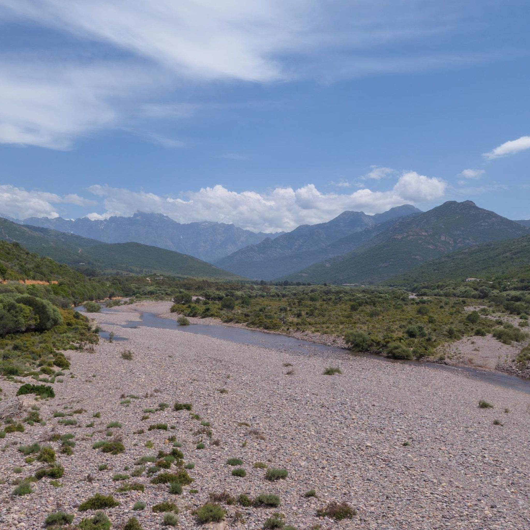
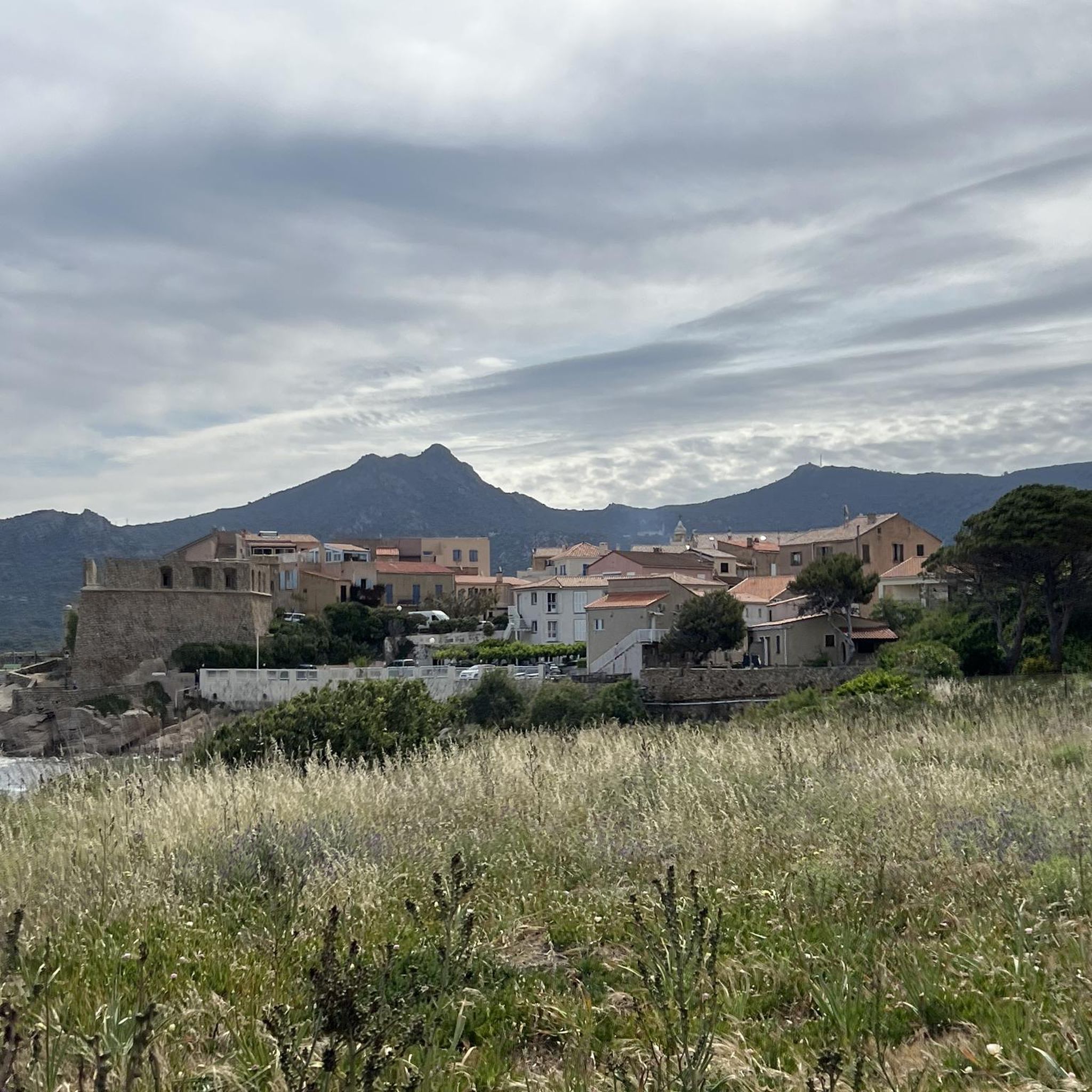

Other adventures around Algajola

Tips from the Community

Calvi is a beautiful seaside town, bathed by turquoise waters and steeped in history. I recommend strolling through the narrow streets of the Citadel, built in 1483 by the Genoese, and then heading to the port. The view of the bay, overlooked by high mountains, including Mount Cinto (2,706 m), Corsica's highest peak, is impressive.
0
0

Superb climb with 19 degrees at 10:00 feet 👌
0
0

I did the loop in June 2025. It's generally a nice tour, but I highly recommend doing the large southern loop up to the church, including the single trail, in the opposite direction, so you go up the paved road and down the steep motocross section. Strangely enough, the original track above includes an additional loop where you also have to go up the single trail with a few short pushing sections and then return on a well-maintained forest road (not steep). Definitely do it in the opposite direction; then everything is rideable. By the way, I've also reported this to Komoot support. They might change the direction. I recommend doing the loop from Calvi to the church counterclockwise and the short loop at the top of the church clockwise. Have fun on this fantastic and varied loop.
0
0

From here, you'll reach a superb, intimate little beach in a cove that's ideal for swimming. It's the perfect spot to admire the sunset.
0
0

Extraordinary panorama from the heights of Capu di a Conca above the Gulf of Calvi.
0
0
Awesome mountain bike trail but not for beginners, or you have to get off and walk 😉 Snorkelling is actually a must.
0
0

Little is known about early settlement, but Phoenicians, Greeks and Etruscans already had settlements in the area of today's Calvi. The Romans built a settlement called Sinus Caesiae (possibly also Sinus Casalus) in the area of the lower town, from which the current name Calvi is said to derive; another source refers the place name of Calvi to the Latin word "calvus", which means "bald" and in this respect the name goes back to the originally bare, uncultivated and uninhabited rock on which a citadel was later built.
0
0
History Antiquity [Edit | Edit source text] Little is known about early historical settlement, but Phoenicians, Greeks and Etruscans already had settlements in the area of today's Calvi. The Romans built a settlement in the area of the lower town called Sinus Caesiae (possibly also Sinus Casalus), from which the current name Calvi is said to be derived; another source refers to the Latin word "calvus" for the place name of Calvi, which means "bald" and insofar as the name goes back to the originally uncultivated and uninhabited bare rock on which a citadel was later built. Middle Ages [Edit | Edit source text] After Saracen raids, Pisa, to whom Corsica was awarded by the Pope, occupied the city in the 11th century. After disputes between Pisa and the Republic of Genoa over ownership of the island, a turbulent period followed with alternating rule between Corsican nobles, Genoa and the Crown of Aragon. In 1278, the inhabitants of Calvi asked Genoa for support against the local nobles. Calvi thus fell under the influence of Genoa, which expanded the citadel of Calvi (and also that of Algajola), granted Calvi an autonomous status and granted the people of Calvi a number of privileges. The inhabitants thanked Genoa with loyalty, even during the struggle for independence. Even today, the Latin motto Civitas Calvi semper fidelis ("The city of Calvi is always loyal") can be seen at the entrance to the upper town. Modern times [Edit | Edit source text] In the 16th century, Calvi resisted attempts to conquer the city by the Corsican freedom fighter Sampiero Corso and his allies, the Turks and French. In the 18th century, there was a brief period of Corsican independence under Pascal Paoli, which ended with the French taking power. When Paoli attempted to bring Corsica back under his influence with the support of the Kingdom of Great Britain, Calvi was largely destroyed by the British fleet in 1793.
1
0
Frequently Asked Questions
How many mountaineering routes are available around Algajola?
There are several mountaineering routes around Algajola, offering diverse experiences. Our guide features 5 distinct routes, ranging from moderate to difficult, allowing you to explore the rugged terrain of Corsica's Balagne region.
What kind of terrain can I expect on mountaineering routes near Algajola?
Mountaineering routes near Algajola are characterized by rugged mountain slopes, alpine pastures, and plateaus, where the mountains meet the sea. You'll encounter significant elevation gain, leading to panoramic views of both the coastline and inland peaks. The broader Corsican mountains provide challenging alpine environments for experienced mountaineers.
What do other mountaineers say about the routes in Algajola?
The mountaineering routes around Algajola are highly regarded by the komoot community, with an average rating of 4.7 stars from over 10 reviews. More than 60 mountaineers have used komoot to explore this varied terrain, often praising the expansive views and challenging ascents.
Are there any moderate mountaineering routes near Algajola?
Yes, there are moderate options available. For example, the Capu d'Occi loop from Lumio is a moderate 3.7-mile (6.0 km) path that explores varied terrain and typically takes about 2 hours 35 minutes to complete. Another moderate option is the Notre-Dame de la Serra Trail – Our Lady of the Serra loop from Calvi Talle, which is 4.6 miles (7.4 km) long.
What are some of the more challenging mountaineering routes in the area?
For those seeking a challenge, the Capu di a Veta Summit loop from Calvi E Padule is a difficult 6.3-mile (10.2 km) trail that ascends to a summit, offering expansive views and typically takes around 4 hours 40 minutes. Another difficult option is the Capu di a Veta Summit – Capu di a Veta loop from Calvi, a 7.7-mile (12.4 km) trail that can take over 5 hours.
Are there any circular mountaineering routes around Algajola?
Yes, many of the mountaineering routes in the area are circular. For instance, the Capu d'Occi loop from Lumio and the Capu di a Veta Summit loop from Calvi E Padule are both excellent circular options that bring you back to your starting point.
What interesting landmarks or villages can I see near the mountaineering trails?
The region around Algajola is rich in cultural and natural landmarks. You can explore picturesque hilltop villages like Sant' Antonino, considered one of France's most beautiful villages, or discover the historic Abandoned Village of Occi. The impressive Calvi Citadel and the Saint John the Baptist Cathedral, Calvi are also notable points of interest nearby.
Is it possible to access parts of the GR20 trail from the Algajola area?
While Algajola itself is not directly on the GR20, the Balagne region provides access to this famous trail. The Bonifato Forest, located above Calvi (approximately 20 kilometers from Algajola), offers opportunities to access portions of the GR20, which is known as one of Europe's most difficult hiking trails.
What is the best time of year for mountaineering in Algajola?
The Mediterranean climate of the Balagne region makes it ideal for hiking and mountaineering for much of the year. However, conditions in the Corsican mountains can change rapidly, so it's always wise to check local weather forecasts before heading out. Spring and autumn generally offer pleasant temperatures for these activities.
Are there any coastal paths that offer views of the mountains near Algajola?
Yes, beyond the dedicated mountaineering routes, the 'Chemin des Douaniers' (customs path) along the coast from Algajola provides pleasant strolls. These paths offer breathtaking views of the citadel, the beach, and the Corsican mountains in the distance, showcasing the unique blend of sea and mountain landscapes in the region.
Are there opportunities for guided mountaineering or climbing in the broader Corsican mountains?
Yes, for those looking for guided experiences, organizations like 'Montagnes de Corse' provide guided mountaineering, climbing, and ski touring in the broader Corsican mountains. This highlights the island's suitability for more advanced alpine activities, with specific hard mountaineering routes found in areas like Pioggiola.
Most popular attractions around Algajola

Get inspired with the komoot mobile app


Explore more
Browse the best Mountain Hikes & Routes in other regions.
