The best MTB trails around Vauxrenard
4.3
(201)
943
riders
122
rides
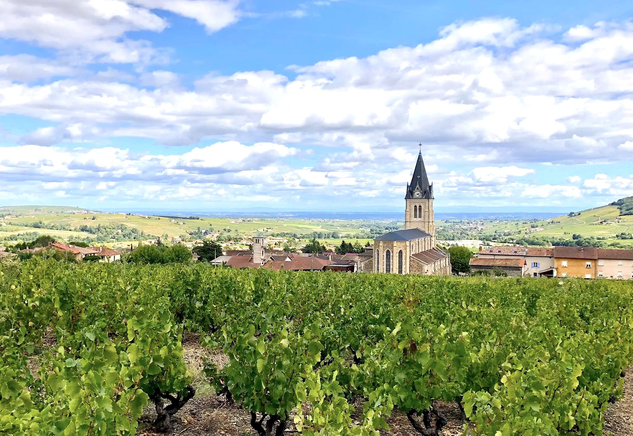
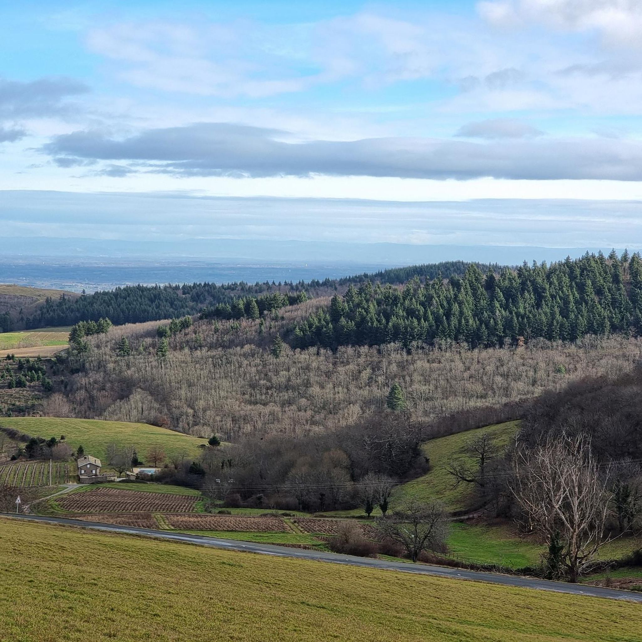
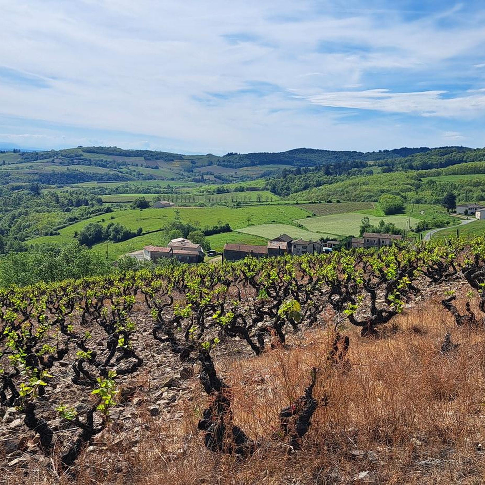
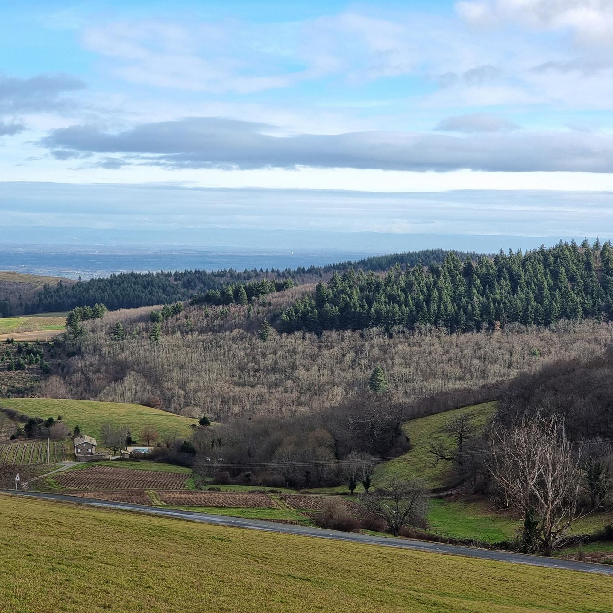
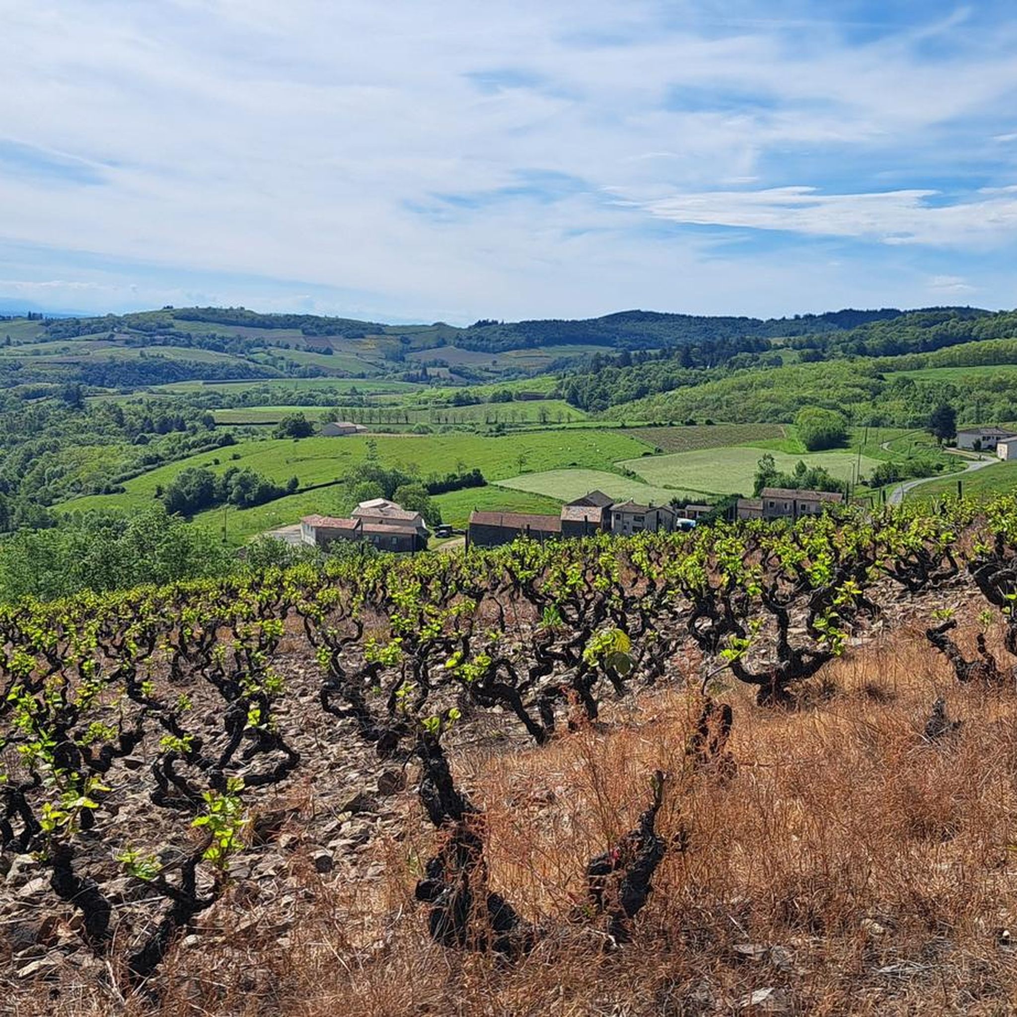
Mountain bike trails around Vauxrenard are situated in the heart of the Beaujolais mountains, offering diverse landscapes for riders. The region features a mix of sloping vineyards and dense forests, providing varied scenery and shaded paths. This area is characterized by hilly and mountainous terrain, including a natural cirque near the village. Riders can expect demanding climbs, technical descents, and rolling paths across its varied landscape.
Best mountain bike trails around Vauxrenard
- The most popular mountain bike trail is Col…
Last updated: June 27, 2026
4.5
(15)
37
riders
19.8km
01:58
510m
510m
Moderate mountain bike ride. Good fitness required. Suitable for all skill levels.
4.0
(3)
38
riders
49.4km
04:59
1,310m
1,310m
Hard mountain bike ride. Very good fitness required. Advanced riding skills necessary.

Sign up for free
4.5
(6)
15
riders
30.1km
02:50
790m
790m
Moderate mountain bike ride. Good fitness required. Advanced riding skills necessary.
3.0
(2)
34
riders
35.3km
03:23
810m
810m
Moderate mountain bike ride. Good fitness required. Suitable for all skill levels.
3.5
(4)
11
riders
15.8km
01:23
410m
410m
Moderate mountain bike ride. Good fitness required. Suitable for all skill levels.
Get access to more routes and recommendations from other explorers.
Sign up for free
Already have an account?
Our route recommendations are based on thousands of hikes, rides, and runs completed by other people on komoot.
Start today with a free account
Your next adventure awaits.
Login or Signup
Other adventures around Vauxrenard

Tips from the Community

The Rock of Solutré is a world-famous, 493-meter-high limestone rock in the south of the Burgundy region. It is located amidst the picturesque vineyards of the municipality of Solutré-Pouilly. The region is officially designated as a Grand Site de France. The hike to the summit is easy to moderate and very doable for families. It takes about 1 hour for the entire loop (approx. 4 kilometers round trip). The elevation gain is around 100 to 140 meters from the official parking lot on well-maintained paths with information panels, although there are many steps.
1
0
The viewpoint is located in the well-known Beaujolais wine region, in the municipality of Chénas. It is an old stone ruin (historically often referred to as Cabane des Chasseurs or hunter's hut), which has been equipped with a modern metal staircase and a viewing platform. The ruin is located at 515 meters above sea level and offers hikers a spectacular 360-degree panoramic view of the surrounding vineyards and valleys of the region.
2
0
The Col de Durbize is a mountain pass at 550 meters above sea level in the municipality of Chiroubles, in the heart of the Beaujolais wine region. The pass is located in the Massif Central and, as an important road junction (intersection of roads D26, D86, and D18E1), connects surrounding wine villages such as Villié-Morgon and Beaujeu. It is particularly popular with road cyclists and hikers for its panoramic views.
0
0

Fleurie is a beautiful wine village in northern Beaujolais, known for its "Fleurie" cru. It has several wine cellars and a pleasant trail that starts from the town center and leads to the chapel of La Madone, which offers a superb view of the surroundings.
0
0

A few hundred meters from the church of Saint-Amour-Bellevue, this orientation table takes advantage of its position to open up a wide panorama of the vineyards and the Saône which flows in the distance.
1
0

The summit of Mont Pouilly!
0
0


Beautiful view of Mont Blanc in good weather.
3
0
Frequently Asked Questions
How many mountain bike trails are there around Vauxrenard?
There are nearly 120 mountain bike trails around Vauxrenard, catering to various skill levels. This includes 10 easy routes, 74 moderate routes, and 35 difficult routes, ensuring options for every rider.
What is the best time of year for mountain biking in Vauxrenard?
The Beaujolais region, including Vauxrenard, offers excellent mountain biking opportunities throughout the year. Summer rides are particularly pleasant due to the shaded paths through magnificent forests. However, the diverse landscapes of vineyards and forests provide varied scenery and enjoyable conditions across different seasons.
Are there any challenging mountain bike trails for experienced riders?
Yes, Vauxrenard and the surrounding Beaujolais mountains offer numerous challenging trails. For instance, the View of Beaujolais from Avenas – View from Montagne Rémont loop from Émeringes is a difficult 33.2 km route with significant elevation gain. The region is known for its technical sections and high cumulative gradients, ideal for experienced riders seeking a challenge.
Are there any loop mountain bike trails around Vauxrenard?
Many mountain bike trails around Vauxrenard are designed as loops, allowing you to start and finish in the same location. An example is the moderate Col du Fût d'Avenas – Col de Durbize loop from Chiroubles, which covers 30.1 km through the Beaujolais countryside.
What kind of views can I expect on mountain bike trails in this region?
Mountain biking routes in and around Vauxrenard offer exceptional panoramic views. You can enjoy sweeping vistas of the Beaujolais countryside, the Saône Valley, and on clear days, even the distant Alps and Mont Blanc. Trails often pass through vineyards, forests, and hilly terrain, providing diverse and picturesque scenery.
What do other mountain bikers say about the trails in Vauxrenard?
The mountain bike trails around Vauxrenard are highly rated by the komoot community, with an average score of 4.3 stars from over 190 reviews. Riders often praise the diverse terrain, challenging climbs, and the beautiful blend of vineyards and forests.
Are there any notable landmarks or attractions along the mountain bike routes?
Yes, several routes offer views of or pass near interesting landmarks. You might encounter natural monuments like Roche de Solutré or Vergisson Rock, or man-made monuments such as Rochefort Cross. The region also features historical sites like the 11th-century Romanesque church in Vauxrenard and the medieval Château du Thil.
Where can I find parking for mountain biking near Vauxrenard?
While specific parking areas for each trailhead are not detailed here, many routes start from villages like Chiroubles, Avenas, or Ouroux, where public parking is generally available. It's advisable to check local village parking options when planning your ride.
Can I explore the wider Beaujolais region by mountain bike from Vauxrenard?
Absolutely. Vauxrenard is part of an extensive network of mountain biking routes in the Beaujolais region. Prominent routes like the 'Grande Traversée du Rhône by mountain bike (GTR MTB)' span over 230 kilometers, traversing vineyards, forests, and mountains. For more information on this extensive route, you can visit francevelotourisme.com.
Are there any specific routes that offer panoramic viewpoints?
Many routes in the area provide stunning panoramic views. For example, the difficult Croix de Rochefort Viewpoint – Rochefort Cross loop from Avenas is known for its challenging climbs and descents with exceptional vistas of the surrounding Beaujolais landscape.
What is the terrain like on the mountain bike trails around Vauxrenard?
The terrain around Vauxrenard is highly varied, characterized by the Beaujolais mountains. You'll encounter a mix of forest tracks, technical descents, demanding climbs, and rolling paths. The landscape features a beautiful juxtaposition of sloping vineyards and magnificent forests, providing diverse riding surfaces.
Are there any easy mountain bike trails suitable for beginners?
Yes, among the nearly 120 trails, there are 10 routes classified as easy, making them suitable for beginners or those looking for a more relaxed ride. These trails typically have less elevation gain and smoother surfaces, allowing riders to enjoy the scenery without excessive challenge.
Most popular routes around Vauxrenard
Most popular attractions around Vauxrenard

Get inspired with the komoot mobile app


Explore more
Browse the best MTB trails in other regions.
