The best walks and hikes around Monsols
4.4
(139)
716
hikers
29
hikes
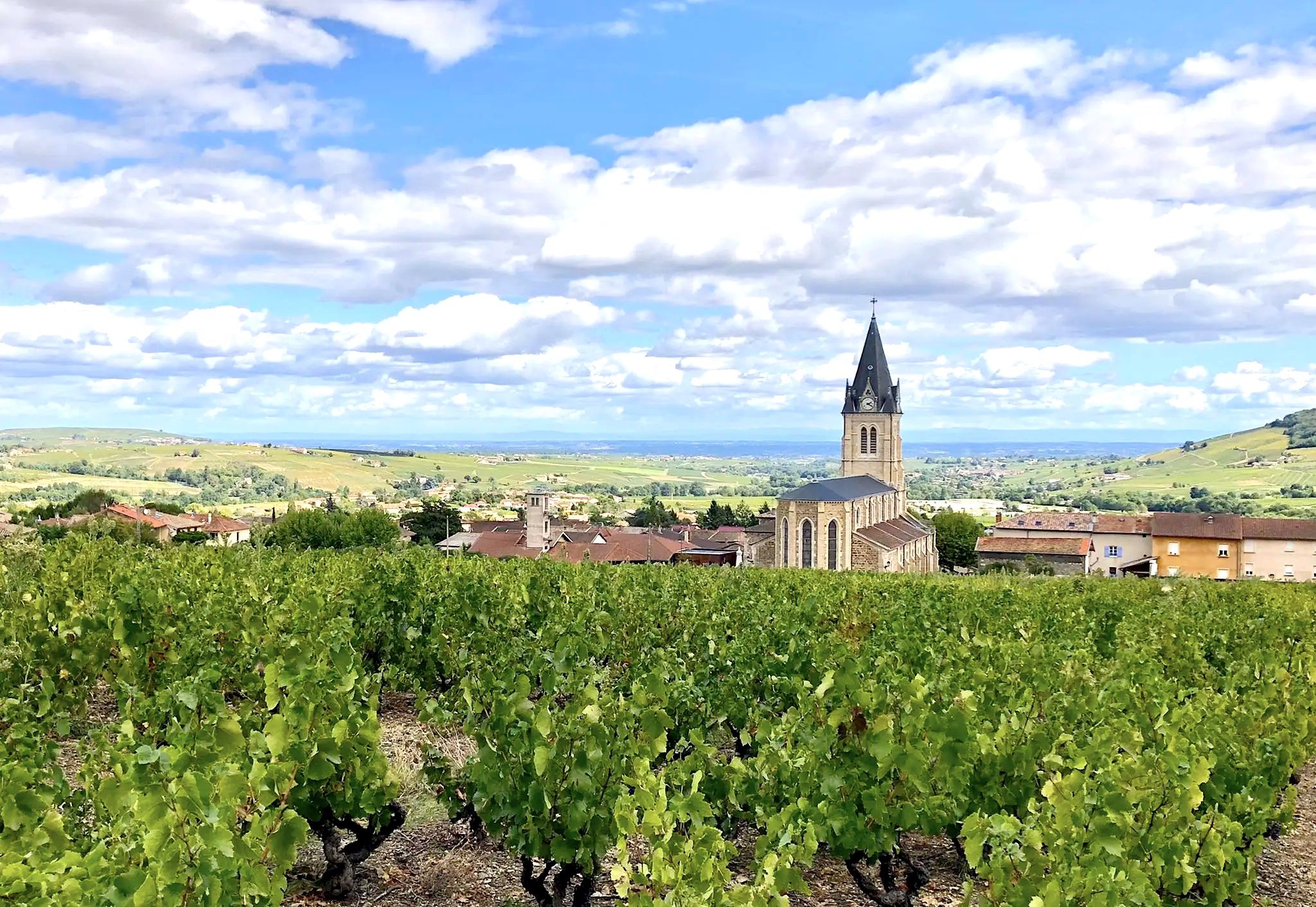
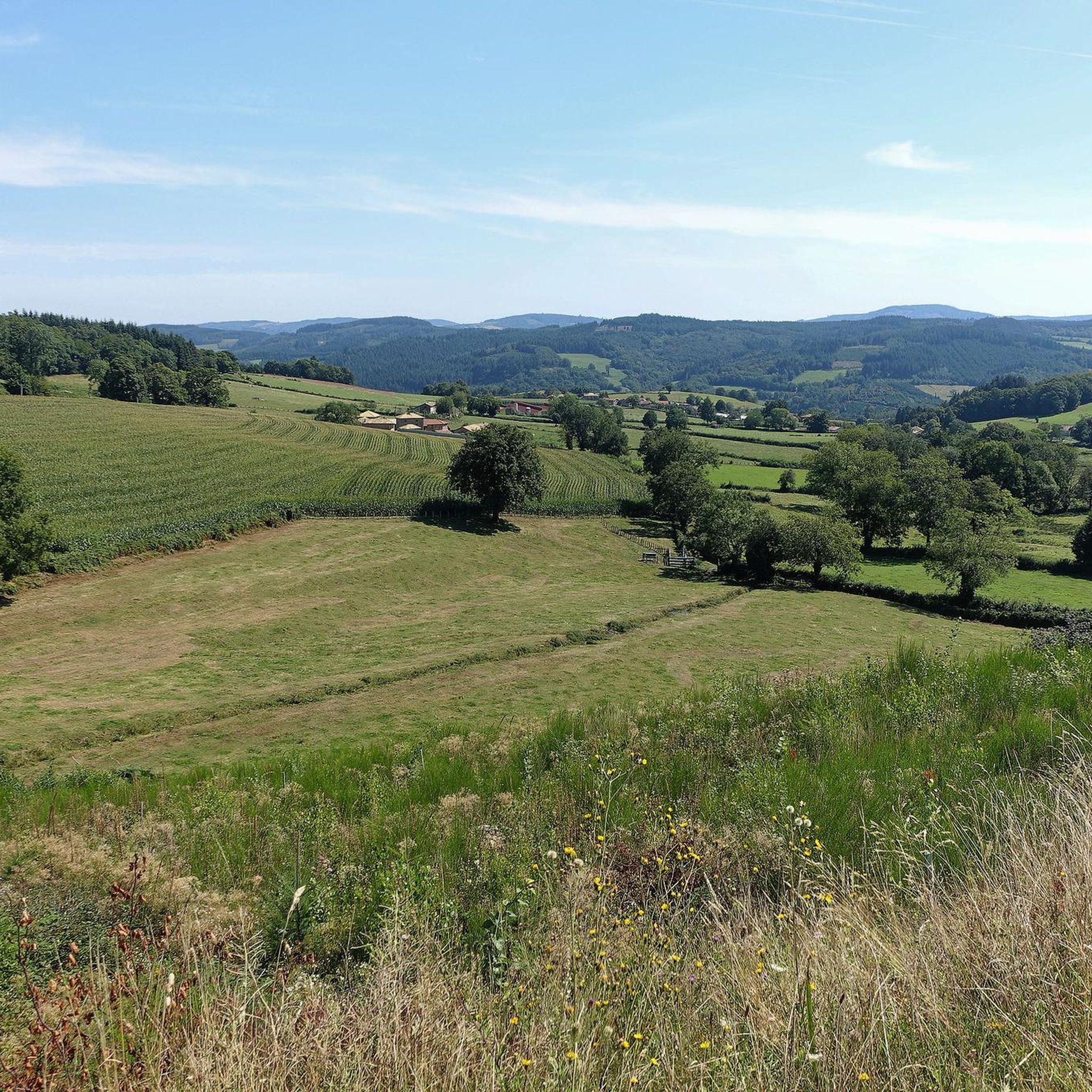
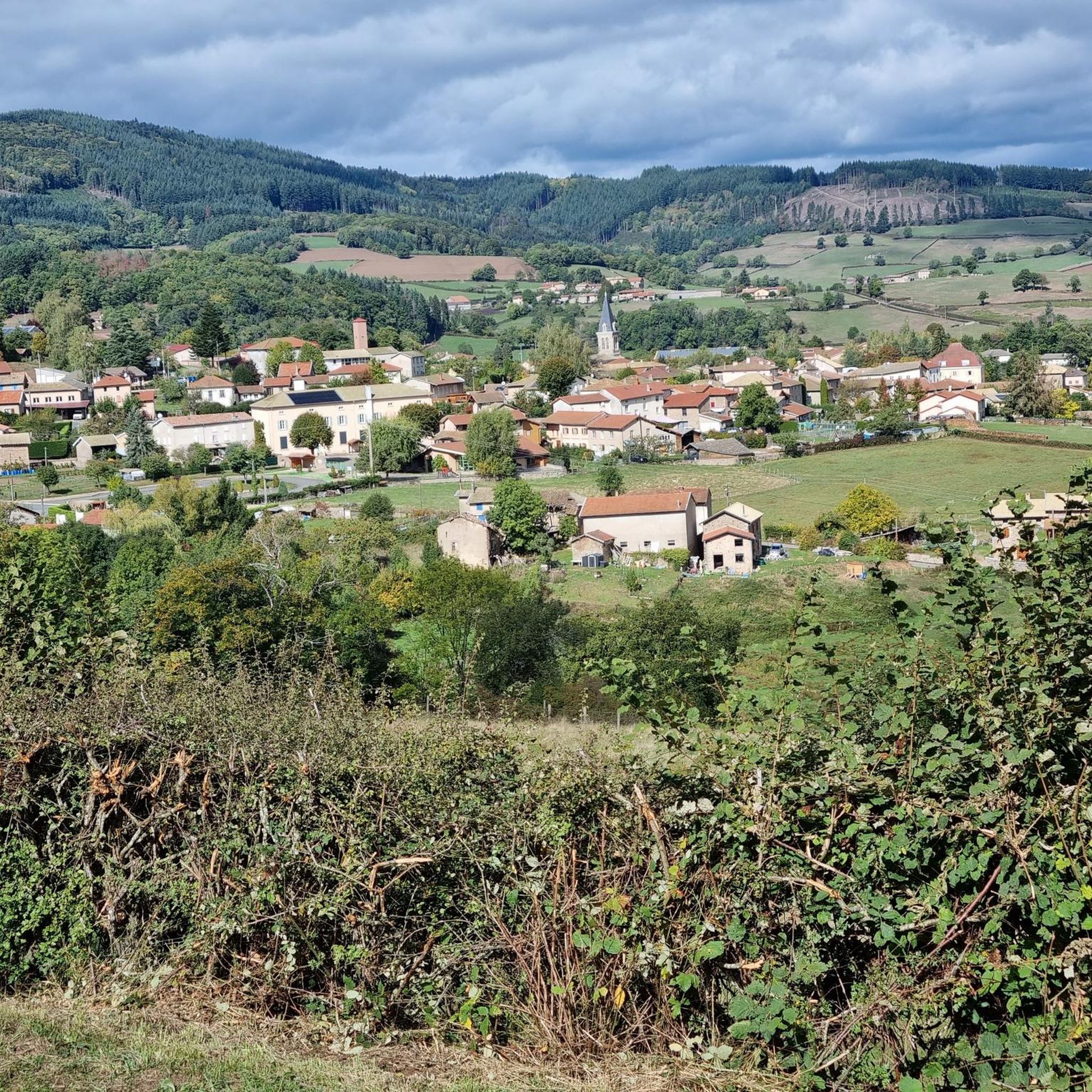
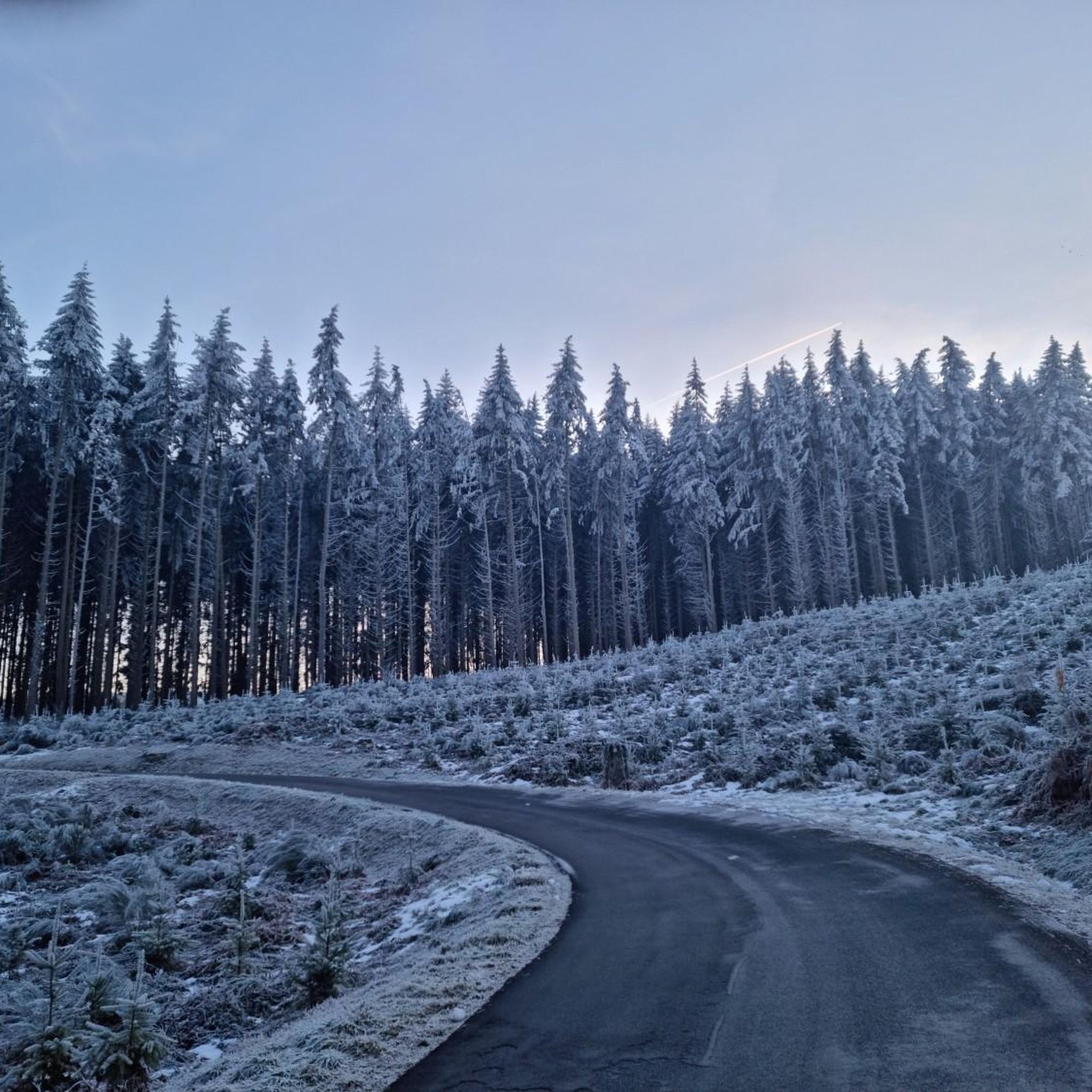
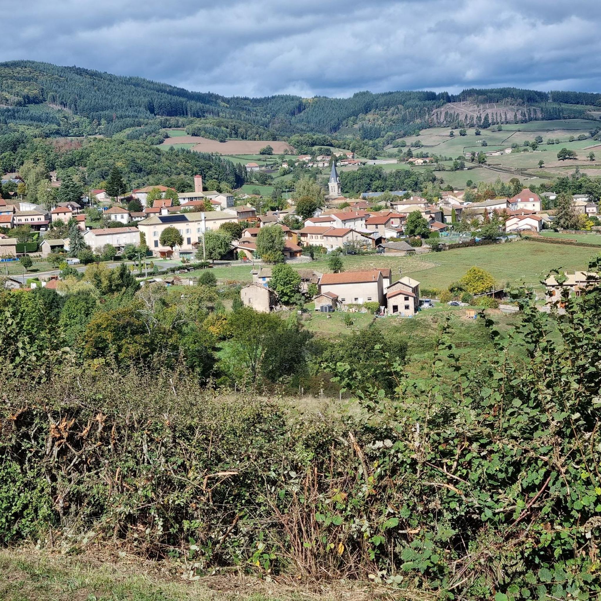
Hiking around Monsols offers access to a mountainous landscape in the Beaujolais region of France. The area is defined by peaks such as Mont Saint-Rigaud, the highest point in the Rhône department at 1,012 meters, and features extensive forests of both deciduous and coniferous trees. Altitudes within the commune range from 500 to 550 meters, providing varied terrain for hiking. The region also includes natural features like the source of Mont Saint-Rigaud and the historic Viaduc du Châtelard.
Best hiking…
Last updated: June 23, 2026
4.6
(44)
205
hikers
15.4km
04:35
480m
480m
Moderate hike. Good fitness required. Easily-accessible paths. Suitable for all skill levels.
4.6
(9)
38
hikers
13.4km
04:01
440m
440m
Hike the moderate Mont Saint-Rigaud 15 km Circuit for 8.3 miles through forests to a 360-degree panoramic summit view.

Sign up for free
4.7
(11)
61
hikers
5.28km
01:30
120m
120m
Easy hike. Great for any fitness level. Easily-accessible paths. Suitable for all skill levels.
4.4
(7)
48
hikers
11.4km
03:28
400m
400m
Moderate hike. Good fitness required. Easily-accessible paths. Suitable for all skill levels.
4.6
(7)
61
hikers
8.29km
02:18
150m
150m
Moderate hike. Good fitness required. Easily-accessible paths. Suitable for all skill levels.
Get access to more routes and recommendations from other explorers.
Sign up for free
Already have an account?
Our route recommendations are based on thousands of hikes, rides, and runs completed by other people on komoot.
Start today with a free account
Your next adventure awaits.
Login or Signup


Tips from the Community

Imposing historic viaduct of a former railway line, built in 1909. The structure has a height of 27 meters and spans the Monsols valley. Today it is a popular destination for hiking and cycling tours.
0
0

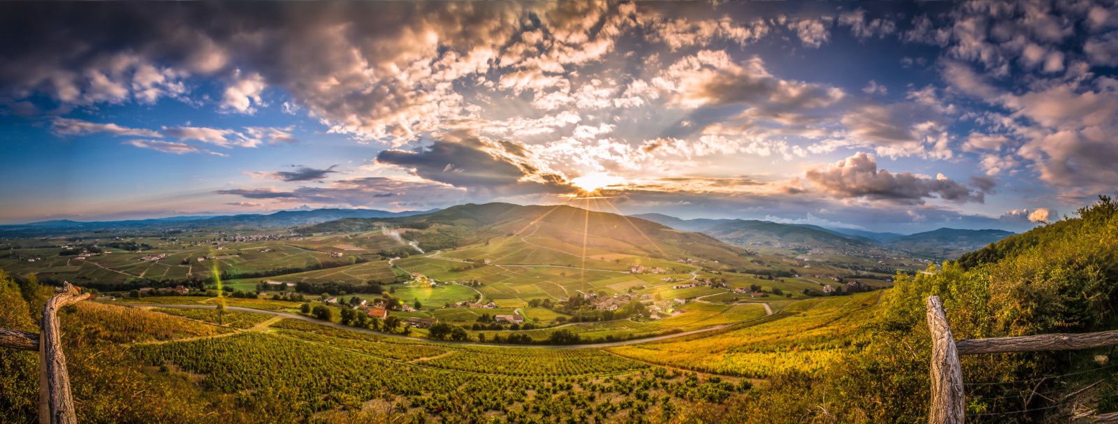
The roof of the Rhône, beautiful view of the upper Beaujolais
1
0
This old railway line is magnificent, all this work for having only been used for a few years.
1
0
very nice point for recollection and meditation
0
0
cabin in the woods, shame it's not maintained
1
0


La source miraculeuse du Mont Saint Rigaud is also visited by many young women who wish to have children.
1
1
Frequently Asked Questions
How many hiking trails are available around Monsols?
Monsols offers a diverse network of over 30 hiking trails, catering to various skill levels. You'll find options ranging from easy strolls to more challenging ascents.
Are there any easy hiking trails suitable for beginners or casual walkers?
Yes, Monsols has 11 easy hiking routes. A great option for a relaxed walk is the Col de Crie, 622 m – View of Les Ardillats loop from Monsols, which is about 5.3 km long and offers pleasant views.
What are the best trails for experiencing panoramic views in Monsols?
For breathtaking panoramic views, head to Mont Saint-Rigaud. As the highest point in the Rhône department at 1,012 meters, its summit features an observation tower providing a 360-degree vista of the surrounding Beaujolais landscape.
Are there any circular hiking routes around Monsols?
Many trails in Monsols are circular, allowing you to start and end at the same point. The Mont Saint-Rigaud 15 km Circuit is a popular moderate option that explores the varied terrain around the massif.
Are there any specific attractions or landmarks to see while hiking in Monsols?
Absolutely. Hikers can explore the historic Viaduc du Châtelard, an impressive 1909 structure with 11 arches. Additionally, the Mount Saint-Rigaud summit offers an observation tower, and you might encounter the unique Rochefort Cross.
Is Monsols suitable for family-friendly hikes?
Yes, Monsols offers several trails suitable for families. The diverse forests and varied terrain provide engaging environments for children. Look for the easier rated routes, which are generally shorter and have less elevation gain.
Can I bring my dog on the hiking trails in Monsols?
Most hiking trails in the Monsols area are dog-friendly, but it's always recommended to keep your dog on a leash, especially in forested areas or near livestock. Please ensure you clean up after your pet to maintain the natural beauty of the trails.
Where can I find parking for hiking trailheads in Monsols?
Parking is generally available near the main trailheads in and around Monsols. Specific parking information can often be found on individual route descriptions. For trails leading to Mont Saint-Rigaud or the Viaduc du Châtelard, designated parking areas are usually provided.
What is the best time of year to go hiking in Monsols?
The spring and autumn months are ideal for hiking in Monsols, offering pleasant temperatures and vibrant natural scenery. Summer can also be enjoyable, especially in the shaded forest sections, but be prepared for warmer weather. Winter hikes are possible but may require appropriate gear for colder conditions.
Are there any natural curiosities or unique features to discover in the Monsols area?
Beyond the panoramic views from Mont Saint-Rigaud, you can explore the source of Mont Saint-Rigaud at 950 meters altitude, locally known for its 'miraculous virtues.' The area's extensive deciduous and coniferous forests also offer a rich and varied natural environment.
What is the overall difficulty level of hiking in Monsols?
Hiking in Monsols offers a good mix of difficulties. Out of over 30 trails, 11 are considered easy, 18 are moderate, and 3 are difficult. This variety ensures that both casual walkers and experienced hikers can find suitable routes.
Most popular attractions around Monsols

Get inspired with the komoot mobile app


Explore more
Browse the best Hikes in other regions.
