The best running trails around Montbellet
4.6
(30)
1,224
runners
197
runs
Jogging around Montbellet offers diverse terrain for runners in the Saône-et-Loire region of France. The area features routes through vineyards, along the Saône valley, and near tranquil bodies of water such as Fleurville Lake. Runners can find paths that traverse rolling hills and agricultural landscapes, providing varied scenery. The region's suitability for outdoor activities ensures a network of trails for different fitness levels.
Best jogging routes around Montbellet
- The most popular jogging route is Canal de Pont-de-Vaux loop from Fleurville…
Last updated: June 27, 2026
21
runners
10.3km
01:03
10m
10m
Moderate run. Good fitness required. Mostly paved surfaces. Suitable for all skill levels.
11
runners
17.1km
02:19
620m
620m
Hard run. Very good fitness required. Mostly paved surfaces. Suitable for all skill levels.

Sign up for free
7
runners
8.31km
00:53
10m
10m
Moderate run. Good fitness required. Mostly paved surfaces. Suitable for all skill levels.
6
runners
7.16km
00:44
20m
20m
Moderate run. Good fitness required. Mostly paved surfaces. Suitable for all skill levels.
5.0
(1)
6
runners
11.3km
01:12
190m
190m
Moderate run. Good fitness required. Mostly paved surfaces. Suitable for all skill levels.
Get access to more routes and recommendations from other explorers.
Sign up for free
Already have an account?
Our route recommendations are based on thousands of hikes, rides, and runs completed by other people on komoot.
Start today with a free account
Your next adventure awaits.
Login or Signup

Other adventures around Montbellet

Tips from the Community

The Romanesque church originally dates from the 11th to 12th centuries. It is a classic example of the early Romanesque art of the Haut-Mâconnais region. The nave, the choir, and the distinctive square bell tower are entirely preserved in this style. Over the centuries (in the Gothic period as well as in the 19th century) there were minor architectural changes. Monument protection: The building has been classified as an official French cultural monument (Monument historique) since 1979.
1
0
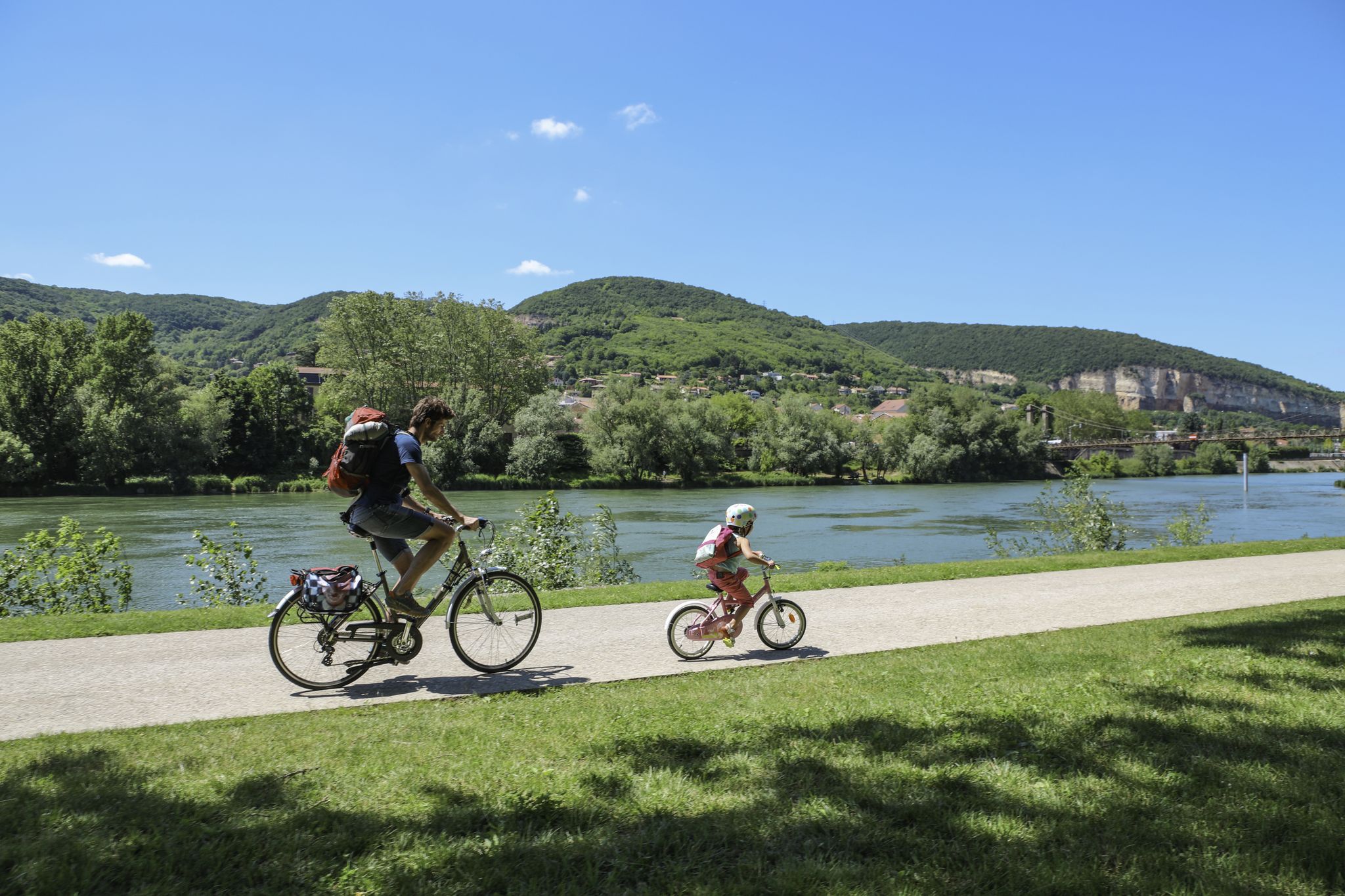
An idyllic, paved cycle path directly on the riverbank. It is a section of the well-known French long-distance cycle route „La Voie Bleue - Moselle-Saône Radweg" (Route V50) along the Saône. The entire long-distance cycle route covers around 700 kilometers from the Luxembourg border town of Apach (near the tripoint) to Lyon. The Saône section follows the natural meanders of the Saône, passing meadows, historic villages, and well-known wine-growing regions such as Mâcon. The route is mostly flat on former towpaths.
0
0
An idyllic, asphalted cycle path right on the riverbank. This is a section of the well-known French long-distance cycle route "La Voie Bleue - Moselle-Saône Radweg" (Route V50) along the Saône. The entire long-distance cycle route runs for around 700 kilometers from the French border town of Apach (near the tripoint) to Lyon. The Saône section follows the natural meanders of the Saône, passing meadows, historic villages, and well-known wine-growing regions such as Mâcon. The route runs mostly flat on former towpaths.
0
0
The Plan d'Eau de Fleurville (also known as Gravière de Fleurville) is a beautiful recreational and natural lake in the Saône-et-Loire department. The body of water is located directly on the border of the municipalities of Saint-Albain and Fleurville on the Saône. It is a former gravel pit that has been renatured and is today an important refuge for biodiversity as well as a popular excursion destination. The lake is equipped with picnic tables, fishing piers, and observation points. It is an excellent place for hiking, cycling (near the Voie Bleue cycle path), and birdwatching (e.g. for storks and migratory birds).
0
0

Along the Saône runs the unfortunately often unpaved, patchy Voie Bleu ("Blue Way"). Incidentally, there is only one Voie Bleu, unlike the Voies Vertes. From Wikivoyage.
1
0

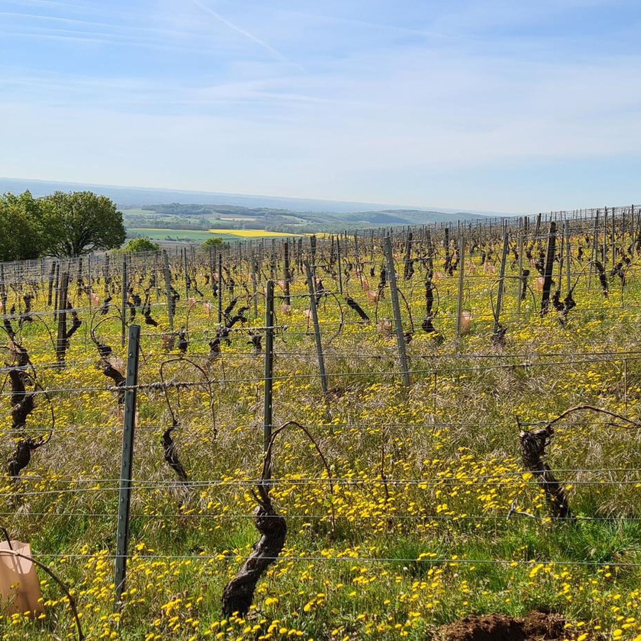
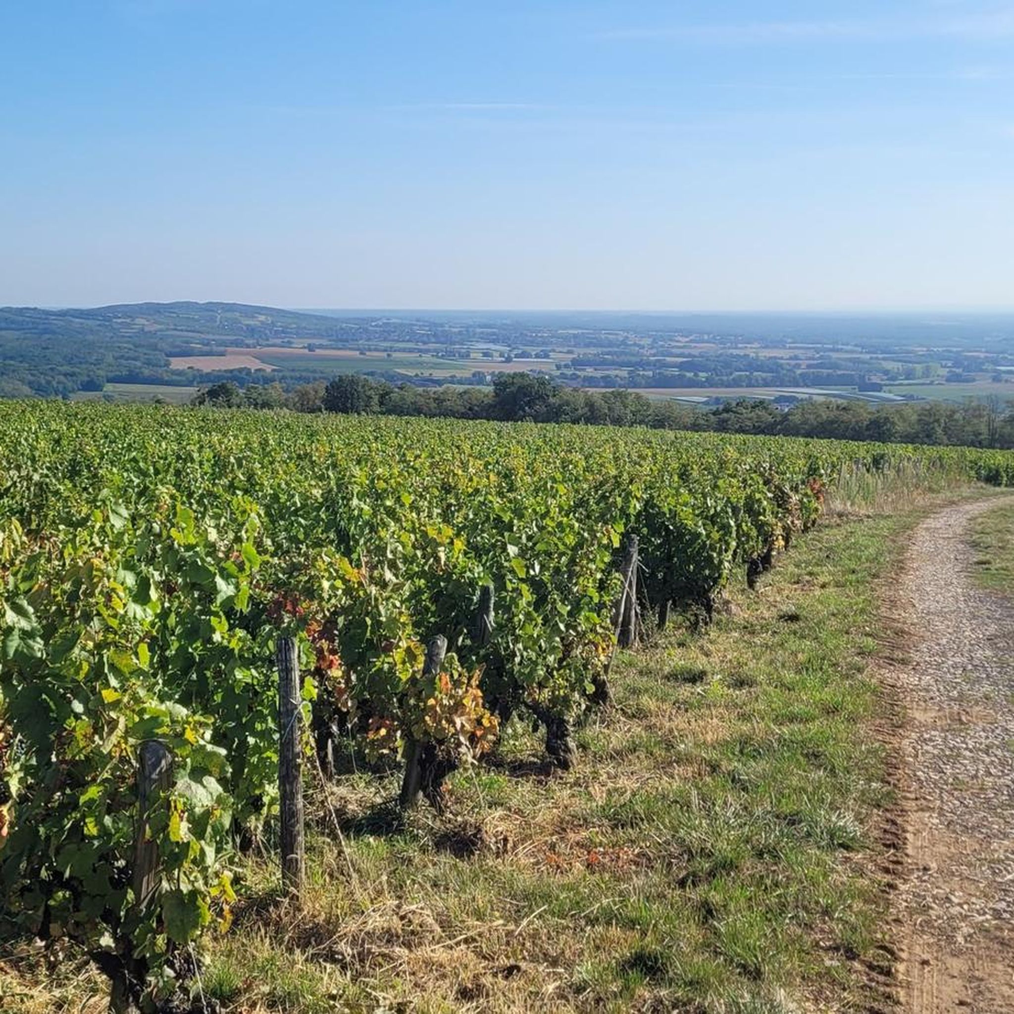
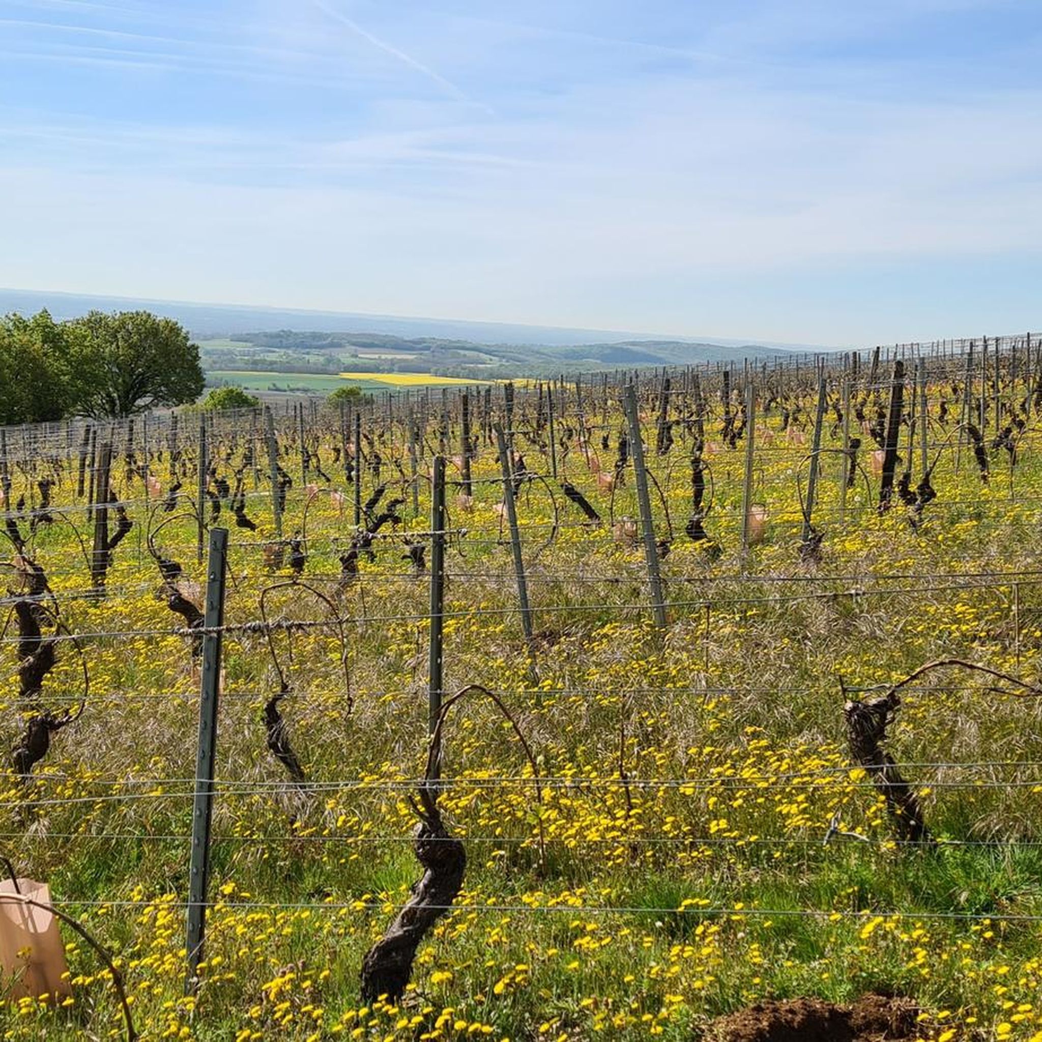
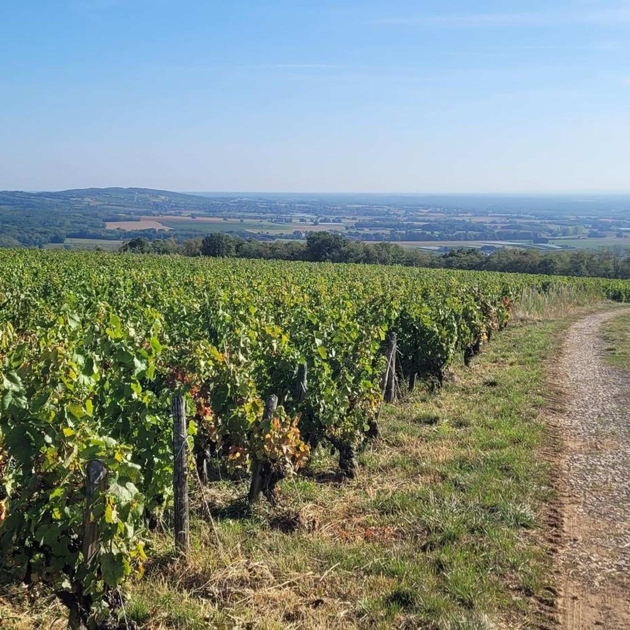
This Romanesque church is located on the heights of the commune of Burgy to which it is attached. It is said to have been built during the 12th century. Its position above the village allows it to open up pretty panoramas of the vineyards that surround it.
1
0

Very flat, easy, although a little monotonous...
2
0

Nice corners for a picnic 🧺
1
0
Frequently Asked Questions
How many running routes are available around Montbellet?
Montbellet offers a wide selection of running routes, with over 190 trails available for various fitness levels. These include 9 easy, 151 moderate, and 36 difficult routes, ensuring options for every runner.
Are there challenging running trails with significant elevation in Montbellet?
Yes, for those seeking a challenge, the Montbellet area features routes with notable elevation. For instance, the Bois du Mont loop from Burgy is a difficult 17.1 km trail with over 600 meters of ascent. The region's proximity to Mount Saint-Romain also provides opportunities for uphill routes through forested areas, offering vigorous workouts and panoramic views.
Can I find easy or beginner-friendly jogging paths in the Montbellet area?
Absolutely. Montbellet has several easy and moderate routes perfect for beginners or those looking for a relaxed jog. A great option is the Canal de Pont-de-Vaux loop from Fleurville, a 6.1 km flat path along the canal, ideal for a gentle run.
What kind of scenic views or natural features can I expect while running in Montbellet?
Runners in Montbellet can enjoy diverse and picturesque scenery. Routes often traverse charming vineyards, follow paths along the tranquil Saône valley, and circle serene bodies of water like Fleurville Lake. You might also encounter forested areas, rolling hills, and agricultural landscapes, with distant views of the Jura and even the Alps from higher points like Mount Saint-Romain.
Are there any circular running routes near Montbellet?
Yes, many of the running routes in Montbellet are circular, offering convenient starting and ending points. Popular options include the Fleurville Lake loop from Fleurville - Pont-de-Vaux, a moderate 7.2 km path, and the Running loop from Montbellet, which covers 11.3 km through varied local landscapes.
What do other runners enjoy most about jogging in Montbellet?
The running routes in Montbellet are highly rated by the komoot community, with an average score of 4.3 stars from over 25 reviews. Runners often praise the varied terrain, from peaceful lakeside paths to scenic vineyard routes, and the overall natural beauty of the Saône-et-Loire region.
Are there any running routes that pass by lakes or rivers?
Yes, the Montbellet area is known for its beautiful waterways. The Fleurville Lake loop from Fleurville - Pont-de-Vaux offers a scenic experience around Fleurville Lake, ideal for observing local wildlife. Additionally, routes often follow the Saône valley and are near the Bourbonne river, providing tranquil waterside running opportunities.
What is the best time of year for running in Montbellet?
Montbellet is suitable for outdoor activities throughout much of the year. Spring and autumn offer pleasant temperatures and vibrant scenery, making them ideal for running. Summer can be warm, but lakeside and forested routes provide shade. Winter running is also possible, though conditions may vary.
Are there any historical landmarks or points of interest near the running trails?
While running, you might find yourself near several interesting landmarks. The region is home to historical sites such as Saint-Philibert Abbey in Tournus and Brancion Castle. The trails themselves often wind through areas rich in local heritage, including vineyards and traditional villages.
Are there any running routes that are particularly flat?
For those preferring flatter terrain, the Canal de Pont-de-Vaux loop from Fleurville is an excellent choice. This 6.1 km route offers minimal elevation change, providing a smooth and easy run along the canal.
Can I find routes that combine running with nature observation?
Absolutely. The Fleurville Lake loop from Fleurville - Pont-de-Vaux is particularly well-suited for nature observation, as it circles Fleurville Lake, a peaceful setting ideal for spotting local wildlife. Many other routes through forested areas and along the Saône valley also offer opportunities to enjoy the natural environment.
Are there any longer running routes for endurance training?
Yes, Montbellet offers longer routes for endurance training. The Bois du Mont loop from Burgy, at 17.1 km, provides a significant challenge. Another option is the Running loop from Montbellet, which is 11.3 km and takes about 1 hour 15 minutes to complete, traversing varied local landscapes.
Most popular routes around Montbellet
Most popular attractions around Montbellet

Get inspired with the komoot mobile app


Explore more
Browse the best Running Trails & Routes in other regions.
