The best road cycling routes around Aubigny-En-Artois
4.3
(75)
2,034
riders
240
rides
Road cycling routes around Aubigny-En-Artois traverse the rolling hills of Artois, offering varied terrain for cyclists. The region features altitudes ranging from 87 to 144 meters within the commune, with nearby points like the Belvédère du Parc d'Olhain reaching 222 meters, providing expansive views. Cyclists can explore peaceful paths through charming small villages, historical châteaux, and along tree-lined avenues. The landscape is characterized by open countryside and river valleys, such as the Scarpe, which drains the commune's territory.
Best road…
Last updated: July 10, 2026
22
riders
Moderate road ride. Good fitness required. Mostly well-paved surfaces and easy to ride.
5.0
(1)
16
riders
67.5km
02:54
440m
440m
Moderate road ride. Good fitness required. Mostly well-paved surfaces and easy to ride.

Sign up for free
4.0
(1)
12
riders
Moderate road ride. Good fitness required. Mostly well-paved surfaces and easy to ride.
5.0
(1)
5
riders
52.8km
02:36
460m
460m
Moderate road ride. Good fitness required. Mostly well-paved surfaces and easy to ride.
5
riders
66.2km
02:59
460m
460m
Moderate road ride. Good fitness required. Mostly well-paved surfaces and easy to ride.
Get access to more routes and recommendations from other explorers.
Sign up for free
Already have an account?
Our route recommendations are based on thousands of hikes, rides, and runs completed by other people on komoot.
Start today with a free account
Your next adventure awaits.
Login or Signup
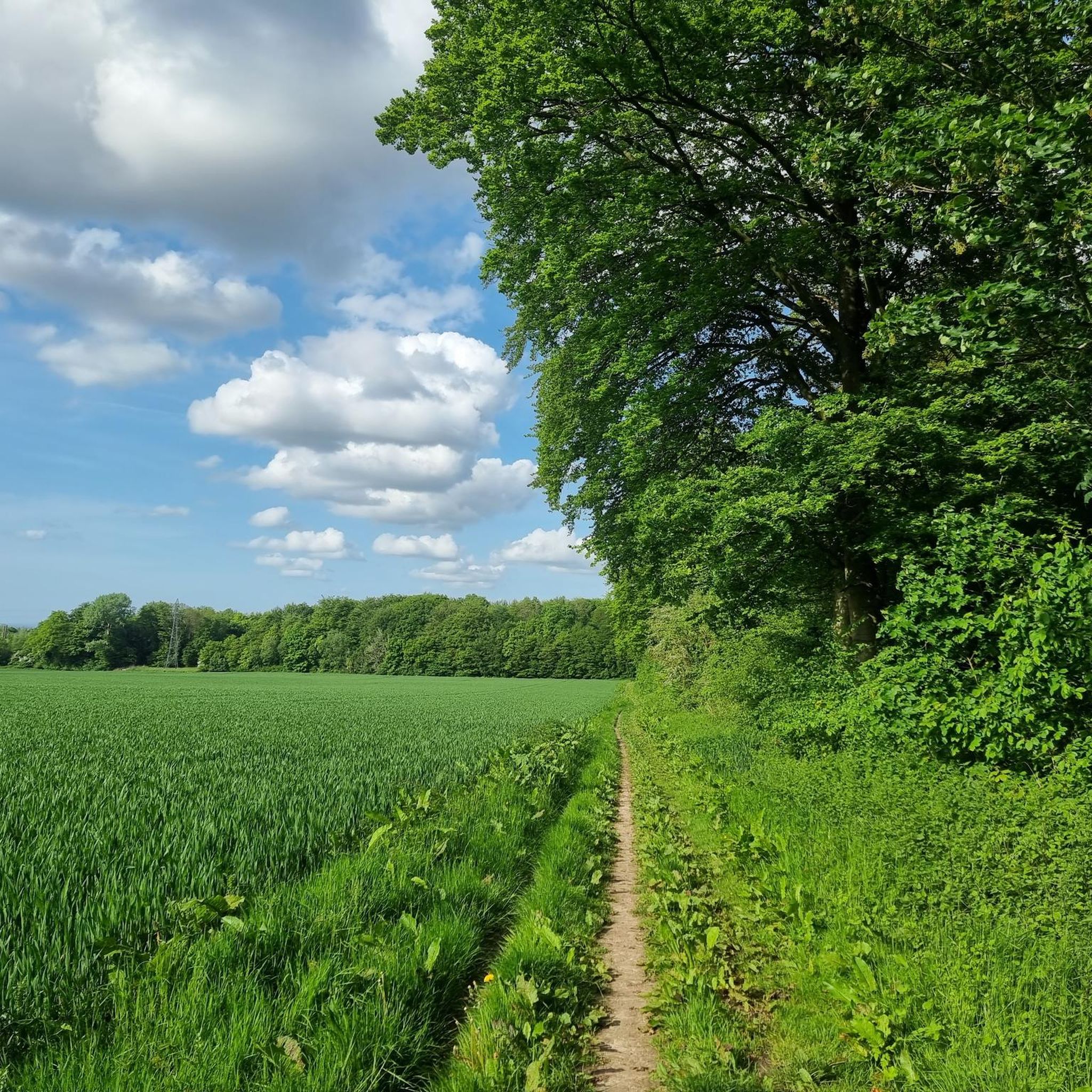
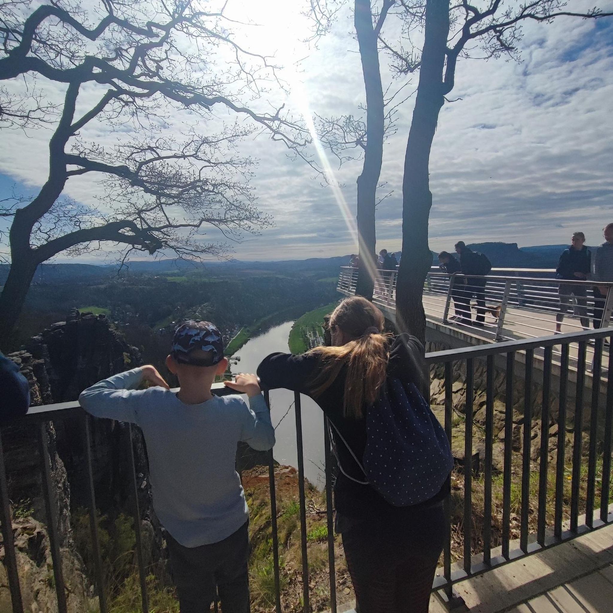
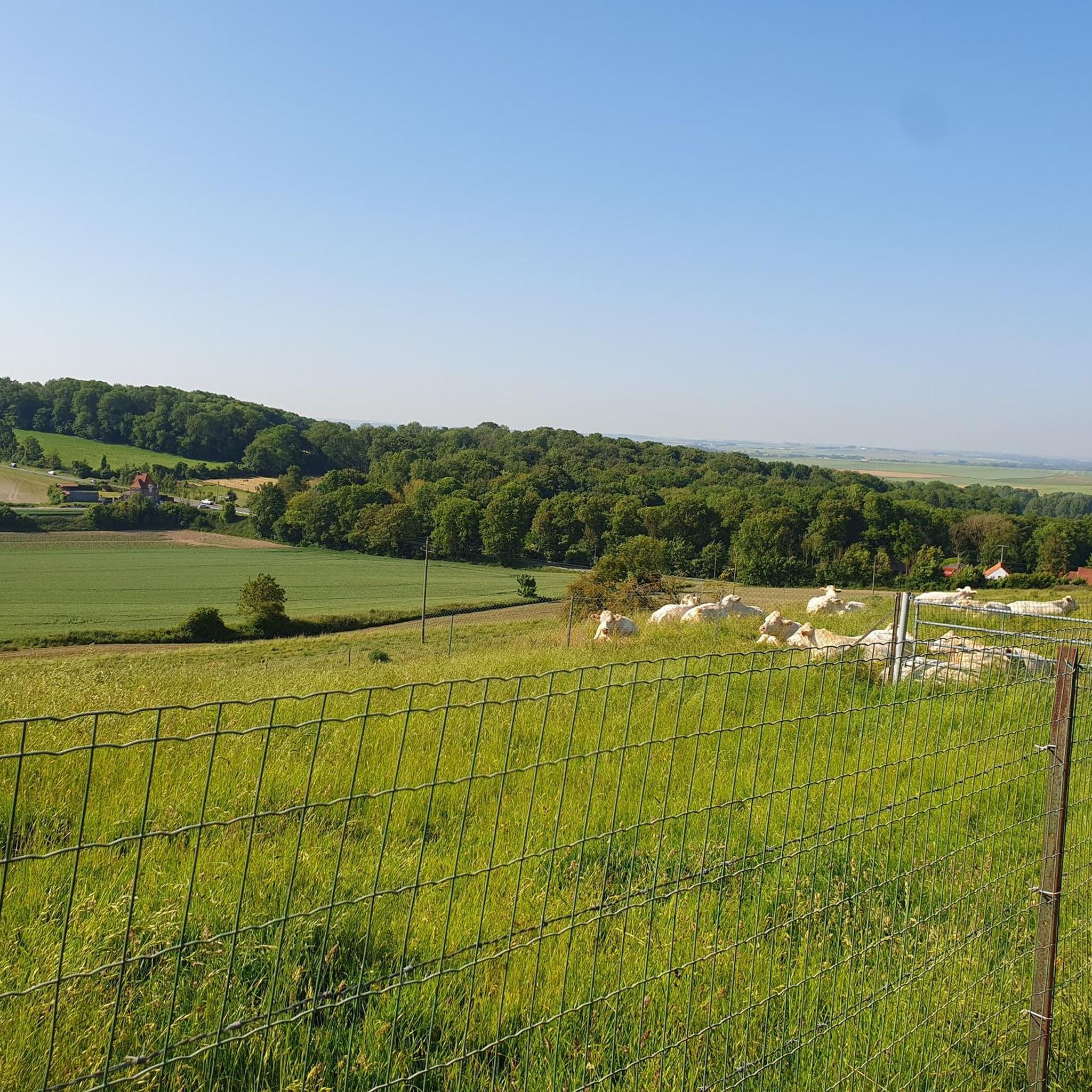

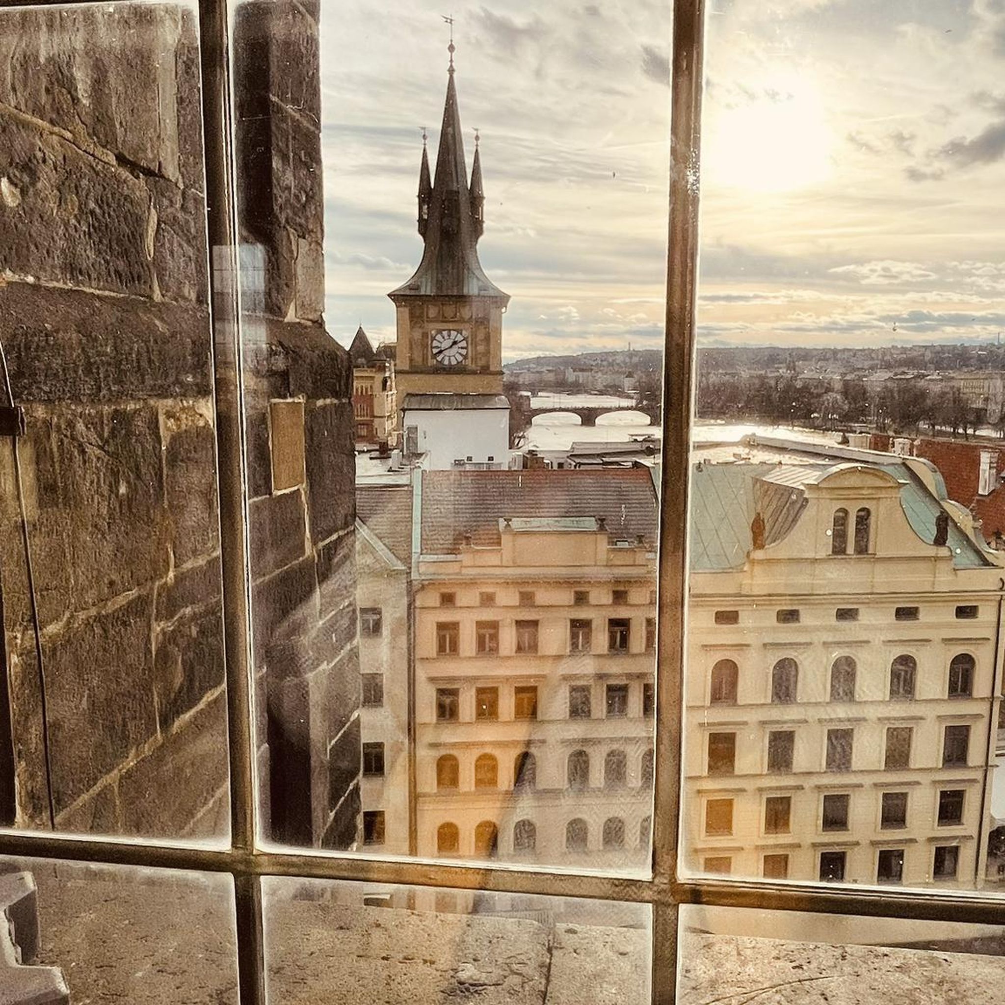
Tips from the Community

Mont César rises to a height of 138 meters on the left bank of the Thérain River, near the hamlet of Froidmont, in the municipality of Bailleul-sur-Thérain, in the Oise department. The hill, which overlooks the valley and surrounding marshes, has been inhabited since the Bronze Age and was likely a Gallo-Roman oppidum on an ancient, fortified Gallic camp. Archaeological excavations carried out since the 18th century have unearthed numerous objects and remains of fortifications. During excavations conducted in 1878 by Isidore Berton, Gallic coins and various objects from the Roman period were discovered. Want to know more? Click through to the source: https://fr.wikipedia.org/wiki/Mont_C%C3%A9sar
0
0

Small chapel accessible from Saulty, leads to the national
0
0

The Vimy Memorial is the most prestigious Canadian monument in Europe. It is located on the very site of the 1917 fighting near Vimy in the Pas-de-Calais region of France. Erected on the highest point of the hill, Hill 145, the objective of the operations that began on April 9, 1917, it overlooks the Douai Plain. In 1921, architect and sculptor Walter S. Allward (1875-1955) won the competition from the Canadian Battlefield Memorials Commission. The significance of the battles at the site and the favorable location at the top of the hill allowed Vimy to receive the most prestigious work.
1
0

The Canadian National Vimy Memorial (Vimy, Pas-de-Calais department) is a memorial dedicated to those who were missing or killed in World War I in the Canadian Expeditionary Force. The monument is located on the site of a well-preserved or partially reconstructed battlefield, including trenches and tunnels. Guided tours are offered in French and English, there are several memorials, a permanent and a temporary exhibition, a museum shop and a marked hiking trail that conveys the history of the site.
0
0

I went there late one evening, a calm that does you good, a great panorama night and day
0
0

You absolutely have to see it. The climb is worth it ;-)
0
0

Such places are still very important today as memorials to the countless war dead. "Now, Lord, you let your servant depart in peace, as you have said..." says the so-called "Hymn of Simeon" (Luke's Gospel, Chapter 2, Verse 29). However, the many people buried here did not depart in peace, but became victims of war and an inhuman tyranny. The most important and at the same time everlasting function of the military or honorary cemeteries or war graves is therefore to keep the memory of this suffering alive and - every generation anew (!) - to remind them of the need to maintain peace in the long term.
0
0

From the top of a hill, the panorama from Mont-Saint-Eloi extends over the entire Scarpe valley and the Artois plain. The village is known for the ruins of its abbey, and the two towers dominate the surrounding landscape.
0
0
Frequently Asked Questions
What kind of terrain can I expect on road cycling routes around Aubigny-en-Artois?
The region around Aubigny-en-Artois is characterized by its 'hills of Artois' and bucolic landscapes, offering varied terrain for road cyclists. You'll encounter rolling hills, peaceful paths through charming small villages, and tree-lined avenues. While the commune itself ranges from 87 to 144 meters in altitude, nearby points like the Belvédère du Parc d'Olhain reach 222 meters, providing some challenging climbs and expansive views.
How many road cycling routes are there in Aubigny-en-Artois, and what are their difficulty levels?
There are over 230 road cycling routes available around Aubigny-en-Artois. The network caters to various skill levels, with approximately 46 easy routes, 176 moderate routes, and 12 more challenging options, ensuring there's something for everyone.
What are some of the most scenic points or landmarks I can see while cycling in the area?
Road cycling routes in Aubigny-en-Artois offer numerous scenic points and historical landmarks. You can enjoy expansive views of the Artois hills and the mining basin from the Belvédère at Olhain Park, which is the highest point in Pas-de-Calais. Other notable sights include the historic Olhain Castle, dating back to the 13th and 15th centuries, and the protected natural area of Marais de Maroeuil, known for its diverse flora and fauna.
Are there any historical sites along the road cycling routes?
Yes, the region is rich in history. Many routes pass through heritage villages and near historical sites. For example, the route Abbey of Mont-Saint-Éloi – Ruins of Mont-Saint-Eloi Abbey loop from Savy-Berlette leads through significant historical locations. You can also explore the medieval Olhain Castle and the ancient Passage dolmen: The Fairy Table.
What do other cyclists say about road cycling in Aubigny-en-Artois?
The road cycling routes in Aubigny-en-Artois are highly rated by the komoot community, with an average score of 4.3 stars from over 65 reviews. Cyclists often praise the varied terrain, picturesque villages, and historical châteaux that make for an engaging riding experience.
Are there any family-friendly road cycling routes in Aubigny-en-Artois?
While specific 'family-friendly' road cycling routes are not explicitly highlighted in the data, the presence of 46 easy routes suggests options suitable for less experienced riders or families. These routes often traverse peaceful paths through the countryside, offering a gentler cycling experience away from heavy traffic.
Can I find loop routes for road cycling around Aubigny-en-Artois?
Yes, many of the road cycling routes in the area are designed as loops, allowing you to start and end at the same point. A popular example is the Lucheux Belfry – Lucheux Castle loop from Aubigny-en-Artois, which offers a moderate ride through the Artois countryside.
What is the best season for road cycling in Aubigny-en-Artois?
The region's bucolic landscapes are particularly enjoyable during spring and autumn when the weather is milder and the scenery is vibrant. The Club Cyclotouristes Aubinois organizes regular tours every Sunday, with routes varying depending on the season, suggesting that cycling is popular throughout much of the year. An annual cycling and walking event is also scheduled for May 1st, indicating favorable conditions during late spring.
Are there places to eat or stay near the cycling routes?
Aubigny-en-Artois and the surrounding Pays d'Artois region feature numerous heritage villages. You can expect to find local cafés and restaurants in these villages to refuel during your ride. The region also offers various accommodation options for cyclists looking to stay overnight.
Is there public transport access to the road cycling routes, and can I bring my bike?
While the guide does not specify public transport options that accommodate bikes directly to the trailheads, Aubigny-en-Artois is a 'town in the countryside' with good local infrastructure. For specific information on public transport with bike carriage, it's advisable to check local transport provider websites for the Pas-de-Calais department.
Where can I park my car when starting a road cycling route in Aubigny-en-Artois?
While specific parking facilities for cyclists are not detailed, Aubigny-en-Artois is a town with a 'quality environment' and is known for its outdoor activities. You can typically find parking in the town center or near the starting points of popular routes in the surrounding villages. It's always a good idea to check local signage for parking regulations.
Are there any particularly challenging road cycling routes for experienced riders?
Yes, for experienced riders seeking a challenge, there are 12 difficult routes available. These routes likely incorporate more significant elevation gains, especially given that the Belvédère du Parc d'Olhain reaches 222 meters, providing opportunities for demanding climbs within the Artois hills.
Most popular routes around Aubigny-En-Artois
Most popular attractions around Aubigny-En-Artois

Get inspired with the komoot mobile app


Explore more
Browse the best Road cycling routes in other regions.
