The best road cycling routes around Saint-Calais-Du-Désert
4.9
(14)
595
riders
25
rides
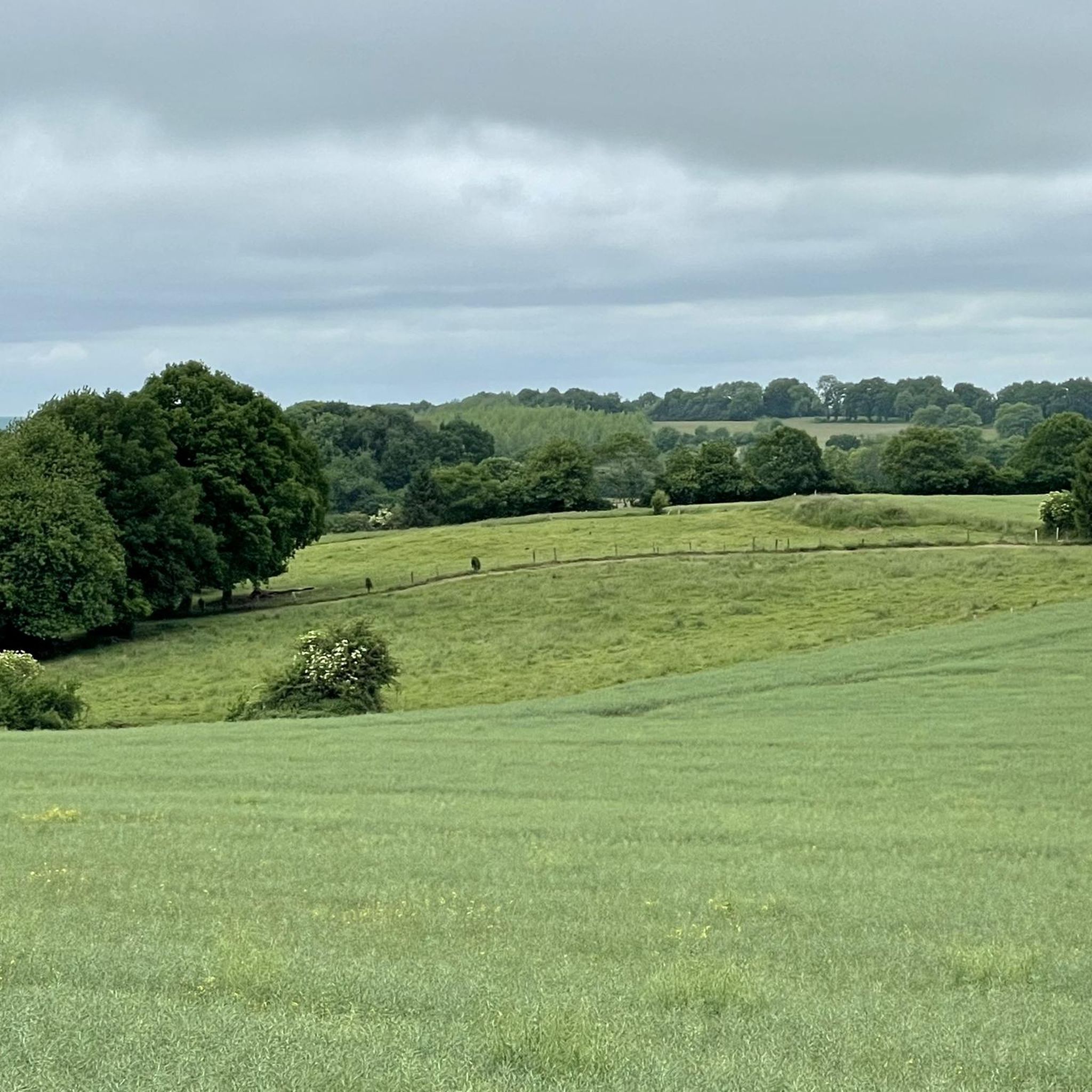
Road cycling around Saint-Calais-Du-Désert offers varied terrain within the Mayenne department and the Normandie-Maine Regional Natural Park. The landscape features rolling hills, dense forests, and picturesque valleys, providing a dynamic backdrop for cyclists. Elevations in the area range from 153 to 288 meters, indicating a mix of gentle climbs and descents. This region provides a network of quiet roads suitable for road cycling.
Best road cycling routes around Saint-Calais-Du-Désert
- The most popular road cycling route is Saint-Pierre Church – The Pail Ridge loop from Pré-en-Pail-Saint-Samson, a 28.8 miles (46.4 km) trail that takes 2 hours 3 minutes to complete. This route offers a moderate challenge through the region's characteristic rolling hills.
- Another top favourite among local road cyclists is Carrouges Castle – Bagnoles-de-l'Orne loop from Saint-Calais-du-Désert, a difficult 77.1 miles (124.0 km) path. This route traverses diverse landscapes, including historical landmarks and forested areas.
- Local road cyclists also love the Lassay-Les-Châteaux – Lassey Castle loop from Pré-en-Pail-Saint-Samson, a 39.3 miles (63.2 km) trail leading through scenic countryside and past historic castles, often completed in about 2 hours 57 minutes.
- Road cycling around Saint-Calais-Du-Désert is defined by rolling hills, dense forests, and picturesque valleys within the Normandie-Maine Regional Natural Park. The network offers options for various ability levels, from moderate rides to more difficult challenges.
- The routes in Saint-Calais-Du-Désert are highly rated by the komoot community with an average score of 4.6 stars from over 10 reviews. More than 500 road cyclists have used komoot to explore Saint-Calais-Du-Désert's varied terrain.
Last updated: September 1, 2026
10
riders
127km
05:50
1,390m
1,390m
Hard road ride. Very good fitness required. Some segments of this route may be unpaved and difficult to ride.
7
riders
84.6km
03:54
830m
830m
Moderate road ride. Good fitness required. Mostly well-paved surfaces and easy to ride.

Sign up for free
10
riders
206km
09:49
2,420m
2,420m
Hard road ride. Very good fitness required. Some segments of this route may be unpaved and difficult to ride.
4
riders
Moderate road ride. Good fitness required. Some segments of this route may be unpaved and difficult to ride.
4
riders
Moderate road ride. Good fitness required. Some segments of this route may be unpaved and difficult to ride.
Get access to more routes and recommendations from other explorers.
Sign up for free
Already have an account?
Our route recommendations are based on thousands of hikes, rides, and runs completed by other people on komoot.
Start today with a free account
Your next adventure awaits.
Login or Signup


Tips from the Community

Magnificent, a must-see.
0
0

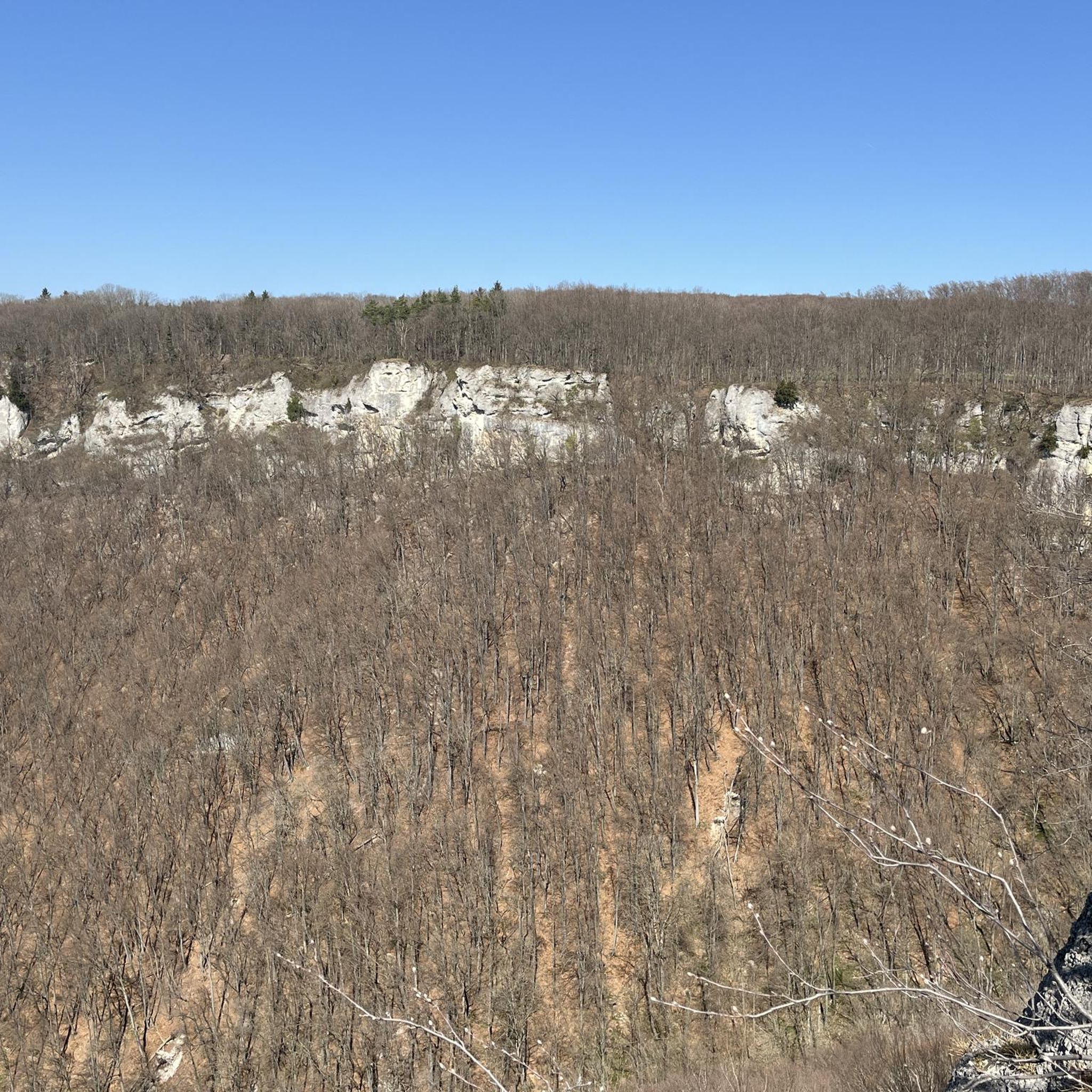
Riding up there by bike was quite strenuous, but the view from the top was worth the effort. It was well worth it.
0
0

This church was built in the 16th century. It was remodeled and enlarged starting in 1850 (with the construction of chapels, the choir, and the sacristy). The Heritage Foundation organized a fundraiser for the restoration of the church: the purpose of the fundraiser is to restore the exterior of the church (stained glass windows and bell tower), as well as the interior (altarpiece, master paintings, baptismal font, fixing the pews to the floor, Stations of the Cross). The cost of this work is estimated at approximately €70,000. February 9, 2022: Renovation work on the church building completed, carried out by the Beauvain History and Heritage Association (restoration of the altarpieces, stained glass windows, baptismal font, as well as the roof, bell tower, clock mechanism, the Calvary on the Rock, the church door, and the heating system).
0
0
In 1874, the project for a new church was born, at the instigation of Father Macé, then vicar, who had the municipality and even the priest against him. The nave, however, was completed in 1878, the tower the following year, the consecration took place in 1881. The building is constructed of local granite, also in Romanesque style but its axis is perpendicular to that of the old one, the entrance towards the road to Carrouges-La Ferté. The nave is supported by ten granite pillars made from a single piece and 2 m. high. The only treasure is the altar decoration, Louis XIII, given by Father Dufriche-Desgenettes to his friend Father Lapierre. Father Husson made the furnishings of the sacristy and the church with his own hands: stalls, confessionals, pulpit. Burned by bombing on August 14, 1944, the church was unusable. In 1953, after extensive restoration, religious services were reinstated, and two years later, the three bells were replaced, along with the stained-glass windows themselves. Those in the choir depict the life of Saint John the Baptist, the patron saint; four smaller ones depict the four chapels of Joué (La Raîtière, Le Bel, St-Jacques, and St-Roch) with the coats of arms of the founding families. A lintel bearing the Le Verrier coat of arms, taken from the seigneurial chapel dedicated to Saints Hubert and Suzanne in the church, was incorporated into the tower's masonry; this lintel was designed in La Chaux, by the Count of Contades.
0
0

very varied and pleasant hike
0
0

Very beautiful castle. The outside area is very interesting and a nice walk. Unfortunately I didn't see the inside of the castle. The bicycle parking area is behind the archway on the inside on the right.
0
0

Beautiful 360 degree view
1
0

Located in Mayenne, Mont des Avaloirs is the highest point of the Armorican massif. It is part of the Normandy-Maine Regional Natural Park and enjoys the status of a Global Geopark. The belvedere, built in 1994 and covered with a magnificent colorful fresco, painted in 2019 by the Franco-British artist Seb Toussaint. It offers a 360° view of all the surrounding forests and peaks.
0
0
Frequently Asked Questions
How many road cycling routes are available around Saint-Calais-Du-Désert?
There are over 190 road cycling routes around Saint-Calais-Du-Désert, offering a wide variety of options for different skill levels and preferences. The majority, about 160, are moderate, with a good selection of easier and more difficult rides as well.
What kind of terrain can I expect when road cycling in this region?
The terrain around Saint-Calais-Du-Désert is characterized by rolling hills, dense forests, and picturesque valleys. Elevations range from 153 to 288 meters, providing a mix of gentle climbs and descents. The region is part of the Normandie-Maine Regional Natural Park, ensuring scenic and engaging routes on quiet roads.
Are there routes suitable for beginners or those looking for an easy ride?
Yes, there are 12 easy road cycling routes available around Saint-Calais-Du-Désert. These routes typically feature less elevation gain and shorter distances, making them ideal for beginners or those seeking a relaxed ride through the scenic countryside.
What are the more challenging road cycling routes in the area?
For experienced cyclists seeking a challenge, there are 18 difficult routes. One notable option is the Carrouges Castle – Bagnoles-de-l'Orne loop from Saint-Calais-du-Désert, a demanding 124 km path with significant elevation changes, traversing diverse landscapes and historical landmarks.
Can I find circular road cycling routes around Saint-Calais-Du-Désert?
Yes, many of the road cycling routes in the area are designed as loops, allowing you to start and finish in the same location. Examples include the popular Saint-Pierre Church – The Pail Ridge loop from Pré-en-Pail-Saint-Samson and the Lassay-Les-Châteaux – Lassey Castle loop from Pré-en-Pail-Saint-Samson.
What landmarks or points of interest can I see along road cycling routes?
Road cycling routes often pass by historical and natural landmarks. You might encounter sites like Carrouges Castle, the Saint Anthony Chapel, or Couterne Castle. The region's routes also showcase the natural beauty of the Normandie-Maine Regional Natural Park.
Are there scenic viewpoints accessible by road bike?
Yes, the region offers several scenic viewpoints. Within the broader Normandie-Maine Regional Natural Park, the Mont des Avaloirs viewpoint is known for its breathtaking views, offering a rewarding stop on a challenging ride. Many routes also provide panoramic vistas of the rolling hills and valleys.
What natural features will I encounter on a road cycling trip?
As you cycle, you'll experience diverse natural features including dense forests like Les Andaines, Ecouves, Perseigne, and Sillé. The routes often follow picturesque valleys and cross rivers such as the Varenne and Cance, adding to the tranquil and immersive cycling experience.
What is the best time of year for road cycling in Saint-Calais-Du-Désert?
The spring and autumn months generally offer the most pleasant conditions for road cycling, with milder temperatures and beautiful scenery. Summer can also be enjoyable, though it's advisable to start earlier in the day to avoid the midday heat. The quiet roads are accessible year-round, but weather conditions should always be checked.
Are there any long-distance road cycling routes from Saint-Calais-Du-Désert?
Yes, for those looking for longer rides, routes like the Forêt de Monnaie – Le Comptoir loop from Saint-Calais-du-Désert cover nearly 90 km. The region also provides access to a network of quiet roads that can be combined to create extended journeys through the Mayenne department and the Normandie-Maine Regional Natural Park.
What do other road cyclists enjoy the most about road cycling in Saint-Calais-Du-Désert?
The area is highly rated by the komoot community, with an average score of 4.6 stars from over 10 reviews. Cyclists often praise the varied terrain, the tranquility of the quiet roads, and the beautiful natural landscapes of the Normandie-Maine Regional Natural Park. Many appreciate the mix of gentle and challenging climbs available.
Is Saint-Calais-Du-Désert suitable for family-friendly road cycling?
While the immediate area offers rolling hills, the broader Mayenne department has sections of the 'Vélo Francette' route along the Mayenne towpath and 128 km of old railway lines converted into greenways. These dedicated paths are generally flatter and safer, providing excellent family-friendly options for non-motorized traffic, though they are not exclusively road cycling terrain.
Most popular routes around Saint-Calais-Du-Désert
Most popular attractions around Saint-Calais-Du-Désert

Get inspired with the komoot mobile app


Explore more
Browse the best Road cycling routes in other regions.
