The best MTB trails around Villapourçon
4.6
(32)
268
riders
43
rides
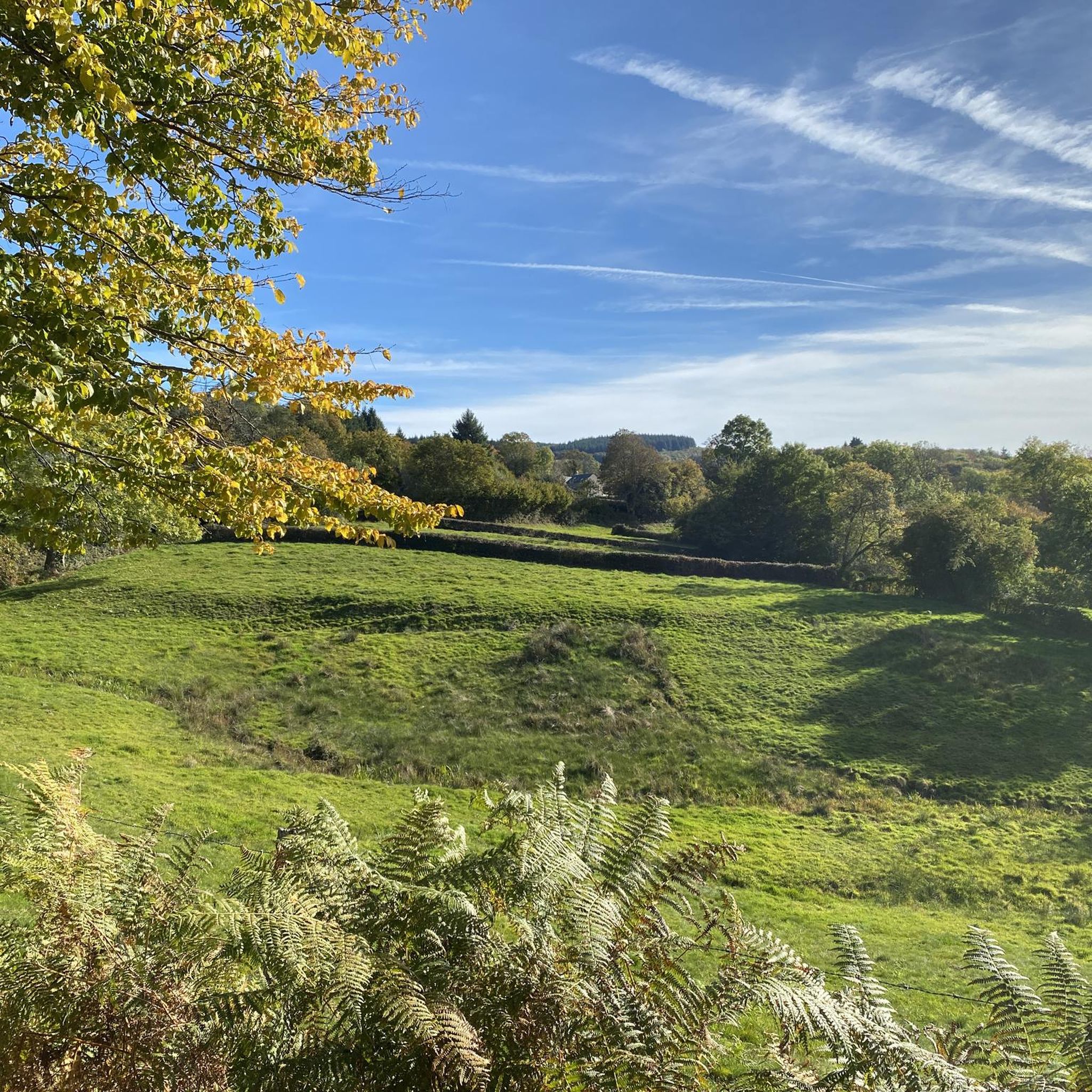
Mountain bike trails around Villapourçon traverse a landscape characterized by rolling hills, dense forests, and open countryside within the Morvan Regional Natural Park. The region's varied topography offers a mix of ascents and descents, often following forest tracks and quiet country roads. This area provides a natural setting for mountain biking, with routes that explore the local villages and natural features.
Best mountain bike trails around Villapourçon
- The most popular mountain bike trail is Saint-Prix – Saint-Léger-sous-Beuvray loop from Glux-en-Glenne, a 17.1 miles (27.5 km) trail that takes 2 hours 33 minutes to complete. This moderate route features varied terrain through forested areas and open landscapes.
- Another top favourite among local mountain bikers is Glux-en-Glenne Fountain – Saint-Prix loop from Glux-en-Glenne, a moderate 15.0 miles (24.1 km) path. This route explores the local area with a mix of forest paths and scenic views.
- Local mountain bikers also love the Saint-Léger-sous-Beuvray – Rebout Pass loop from Glux-en-Glenne, a 20.7 miles (33.3 km) trail leading through the Morvan's hilly terrain, often completed in about 2 hours 57 minutes.
- Mountain biking around Villapourçon is defined by rolling hills, extensive forests, and quiet rural paths. The network offers options for easy mountain bike trails as well as more challenging routes for advanced mountain bikers.
- The routes in Villapourçon are highly rated by the komoot community with an average score of 4.7 stars from over 30 reviews. More than 280 mountain bikers have used komoot to explore Villapourçon's varied terrain.
Last updated: May 8, 2026
5.0
(2)
5
riders
27.5km
02:33
690m
690m
Moderate mountain bike ride. Good fitness required. Suitable for all skill levels.
4.5
(2)
9
riders
23.7km
02:36
820m
820m
Moderate mountain bike ride. Good fitness required. Advanced riding skills necessary.

Sign up for free
5.0
(1)
7
riders
33.3km
02:57
740m
740m
Moderate mountain bike ride. Good fitness required. Advanced riding skills necessary.
5
riders
Moderate mountain bike ride. Good fitness required. Advanced riding skills necessary.
5.0
(1)
6
riders
20.0km
02:02
590m
590m
Moderate mountain bike ride. Good fitness required. Advanced riding skills necessary.
Get access to more routes and recommendations from other explorers.
Sign up for free
Already have an account?
Our route recommendations are based on thousands of hikes, rides, and runs completed by other people on komoot.
Start today with a free account
Your next adventure awaits.
Login or Signup
Other adventures around Villapourçon

Tips from the Community

The ground of this small path, quite steep, is particularly strewn with stones. Be careful to steer well so as not to end up head over heels or on your side!
0
0

The archaeological site of Bibracte—an ancient fortified Gallic town (an oppidum), capital of the Aedui people—located a few kilometers from Mont Beuvray, welcomes researchers and students. The site, classified as a "Grand Site de France," reveals an exceptional heritage.
0
0
Located at 668 meters in the Nièvre department, the commune of Glux-en-Glenne is the highest in Burgundy. It is home to the European archaeological center of Bibracte and is the site of the listed Mont-Préneley and Sources de l’Yonne.
0
0

Action through the Mechet
0
0

In the village you have a nice bakery, cafe, hotel-restaurant and a shop where you can buy products for pasta, among other things.
0
0
Also open on Sundays. Good quality. My favorite: pain suisse.
1
0

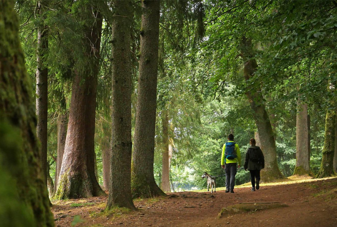
A beautiful forest cycle ride, winding through the remains of the Gaulish village of Bibracte! The goal after the Col du Rebout is a one-way loop that descends to Saint-Léger-sous-Beuvray.
0
0

Combine your visit with a walk through the forest and experience the fabulous views and the fantastic forest.
0
0
Frequently Asked Questions
How many mountain bike trails are available around Villapourçon?
There are over 45 mountain bike trails around Villapourçon listed on komoot, offering a wide range of options for different skill levels.
What is the overall difficulty level of mountain bike trails in Villapourçon?
The trails around Villapourçon offer a good mix of difficulties. You'll find 2 easy routes, 34 moderate routes, and 11 challenging routes, ensuring there's something for every rider.
Are there easy mountain bike trails suitable for beginners in Villapourçon?
Yes, there are a few easy mountain bike trails perfect for beginners. These routes typically feature less elevation gain and smoother terrain, allowing new riders to enjoy the Morvan landscape at a comfortable pace.
Can I find challenging mountain bike trails for advanced riders near Villapourçon?
Absolutely. For advanced riders seeking a challenge, there are 11 difficult mountain bike trails. These routes often include significant climbs and technical descents, providing a more demanding experience through the region's hilly terrain.
Are there circular mountain bike routes around Villapourçon?
Many of the mountain bike trails in Villapourçon are designed as circular routes, allowing you to start and finish at the same point. For example, the Saint-Prix – Saint-Léger-sous-Beuvray loop from Camping La Forêt du Morvan is a popular circular option.
How long do mountain bike trails typically take to complete in Villapourçon?
Trail durations vary, but many moderate routes around Villapourçon take between 2 to 3 hours to complete. For instance, the Haut-Folin Summit – Haut-Folin Pass loop from Glux-en-Glenne can be completed in about 1 hour 55 minutes, while longer routes might take up to 3 hours 30 minutes.
What is the best time of year for mountain biking in Villapourçon?
Spring and autumn generally offer the most pleasant conditions for mountain biking in Villapourçon, with mild temperatures and vibrant scenery. Summer can also be good, but it's advisable to ride earlier in the morning to avoid the midday heat. Winter riding is possible, but trails may be muddy or icy, especially at higher elevations.
Are there scenic mountain bike trails with good views in Villapourçon?
Yes, the trails often pass through dense forests and open landscapes, offering picturesque views of the Morvan Regional Natural Park. Routes around areas like Haut-Folin Pass and Mount Beuvray are known for their scenic beauty.
What can I see along the mountain bike trails in Villapourçon?
Beyond the natural beauty of the Morvan, you can encounter several interesting points. Highlights include the Haut-Folin Pass, the historical Bibracte Museum, and natural features like the Dragne Waterfall and the Monumental Beech Trees of Bibracte.
Where can I find parking or trailheads for mountain biking in Villapourçon?
Many routes start from villages like Glux-en-Glenne, which often have designated parking areas. The descriptions for individual komoot tours usually provide details on starting points and accessibility, making it easier to plan your ride.
What do other mountain bikers enjoy the most about mountain biking in Villapourçon?
The mountain bike trails in Villapourçon are highly rated by the komoot community, with an average score of 4.7 stars from over 30 reviews. Riders often praise the varied terrain, the tranquility of the forests, and the well-maintained paths that allow for an immersive experience in nature.
Are there any cafes or places to eat near the mountain bike trails?
While Villapourçon itself is a small commune, nearby villages within the Morvan Regional Natural Park, such as Glux-en-Glenne or Saint-Léger-sous-Beuvray, offer local establishments where you can find refreshments and meals after your ride.
Most popular routes around Villapourçon
Most popular attractions around Villapourçon

Get inspired with the komoot mobile app


Explore more
Browse the best MTB trails in other regions.
