The best walks and hikes around Saint-Florent
4.4
(1294)
8,783
hikers
43
hikes
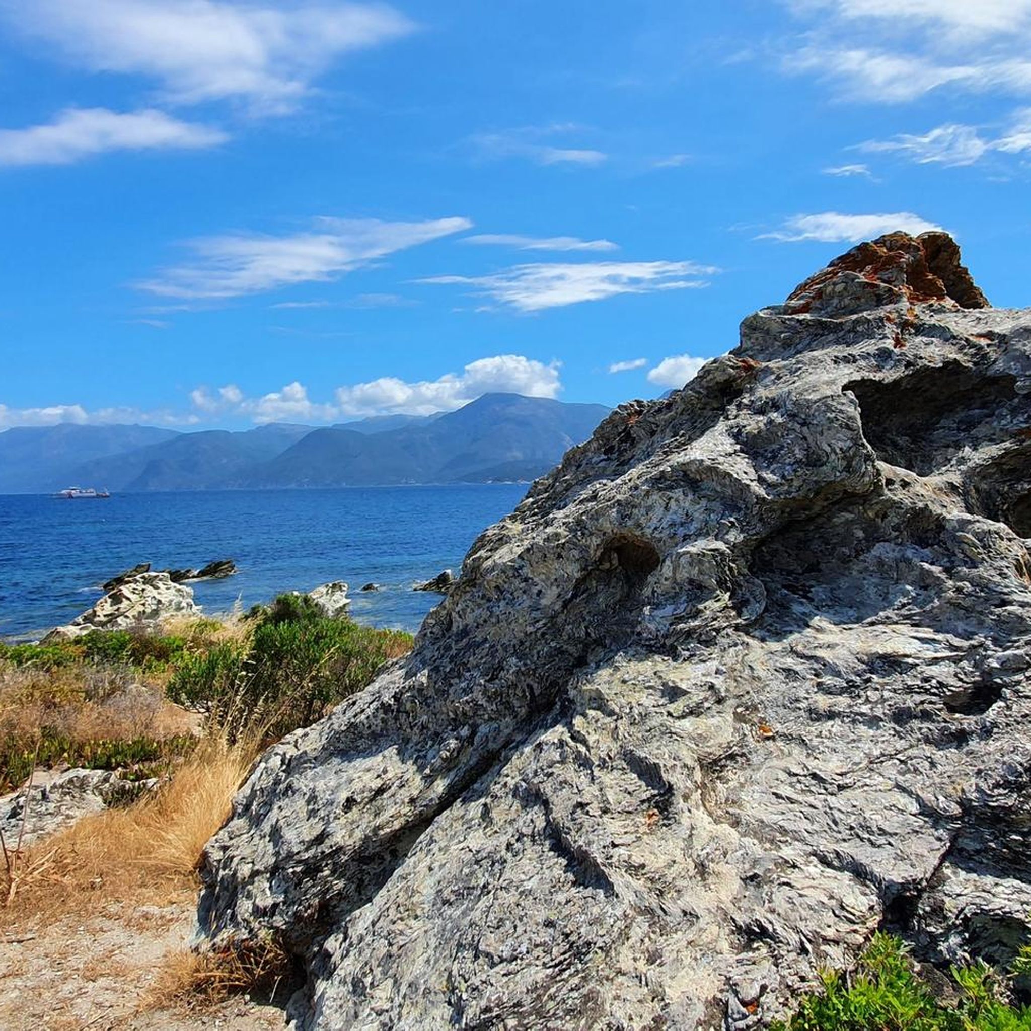
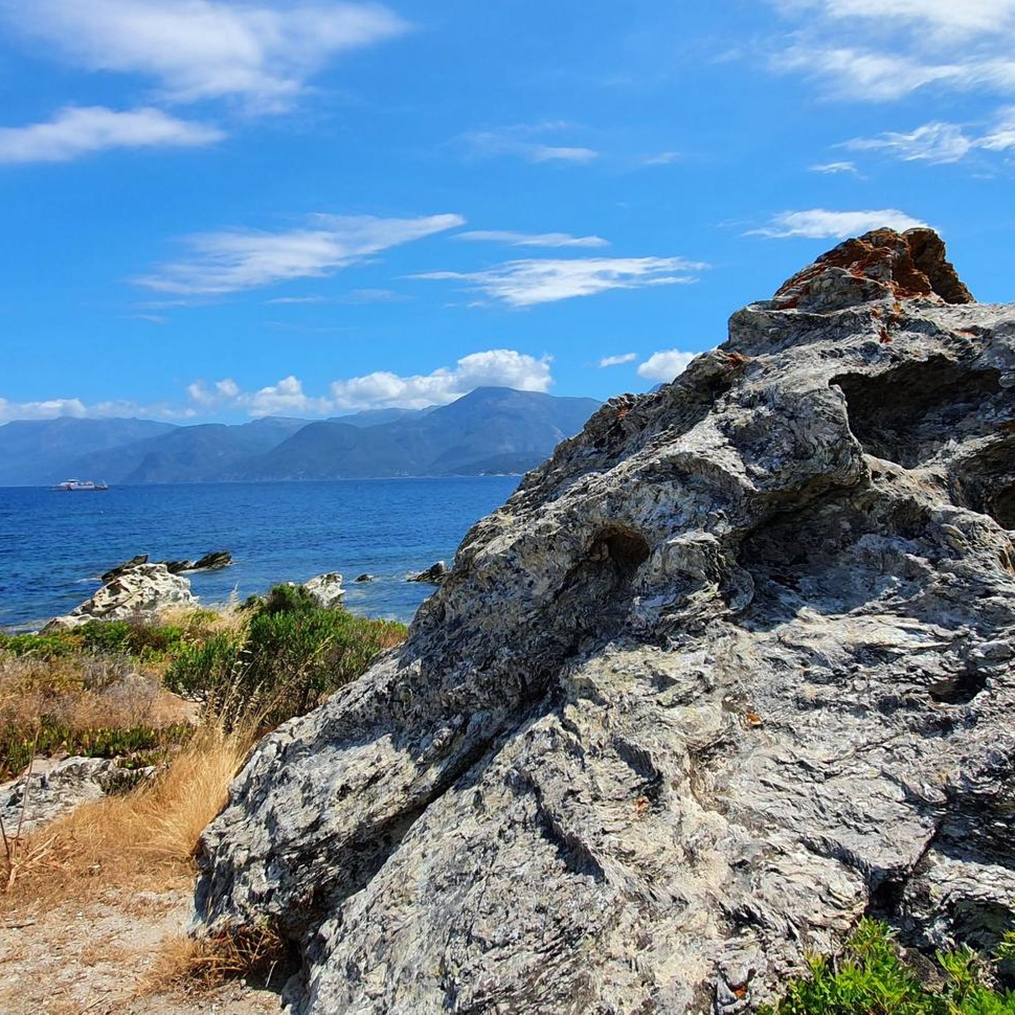
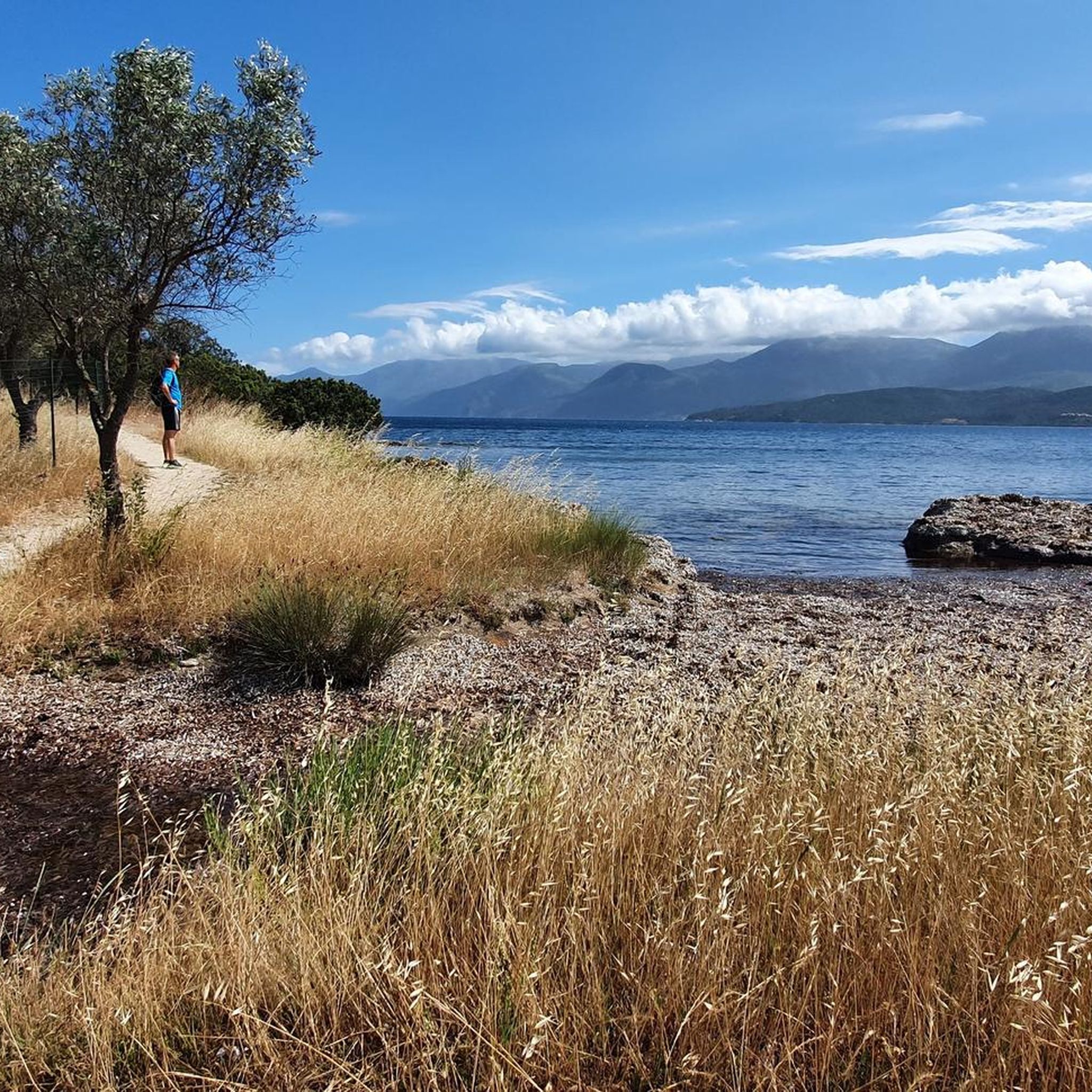
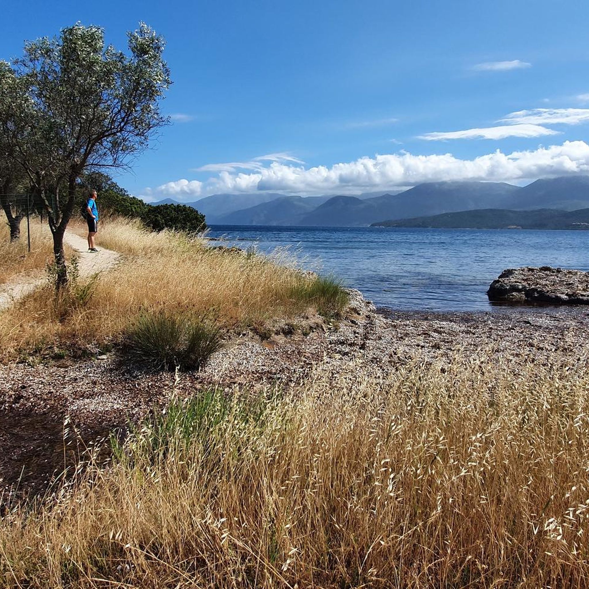
Hiking around Saint-Florent offers diverse landscapes, situated between the Mediterranean Sea and Corsican mountains. The region features the Agriates Desert, characterized by wild scrubland, rugged rocks, and coastal coves. Trails also provide views of the Gulf of Saint-Florent and extend into the Nebbiu-Conca d'Oru micro-region, which includes seashores, plains, and mountain ranges. Coastal paths often lead to pristine beaches and offer panoramic views of the sea.
Best hiking trails around Saint-Florent
- The most popular hiking route is View of Anse…
Last updated: November 8, 2026
4.7
(191)
1,349
hikers
18.0km
04:54
260m
260m
Moderate hike. Good fitness required. Easily walkable paths.
4.7
(62)
537
hikers
13.2km
03:35
180m
180m
Moderate hike. Good fitness required. Easily walkable paths.

4.6
(63)
423
hikers
8.09km
02:08
70m
70m
Moderate hike. Good fitness required. Easily walkable paths.
4.6
(12)
126
hikers
9.83km
02:36
90m
90m
Moderate hike. Good fitness required. Easily walkable paths.
4.5
(11)
105
hikers
5.50km
01:24
20m
20m
Easy hike. Easily walkable paths.
Get access to more routes and recommendations from other explorers.
Already have an account?
Our route recommendations are based on thousands of hikes, rides, and runs completed by other people on komoot.
Start today with a free account
Your next adventure awaits.
Popular around Saint-Florent
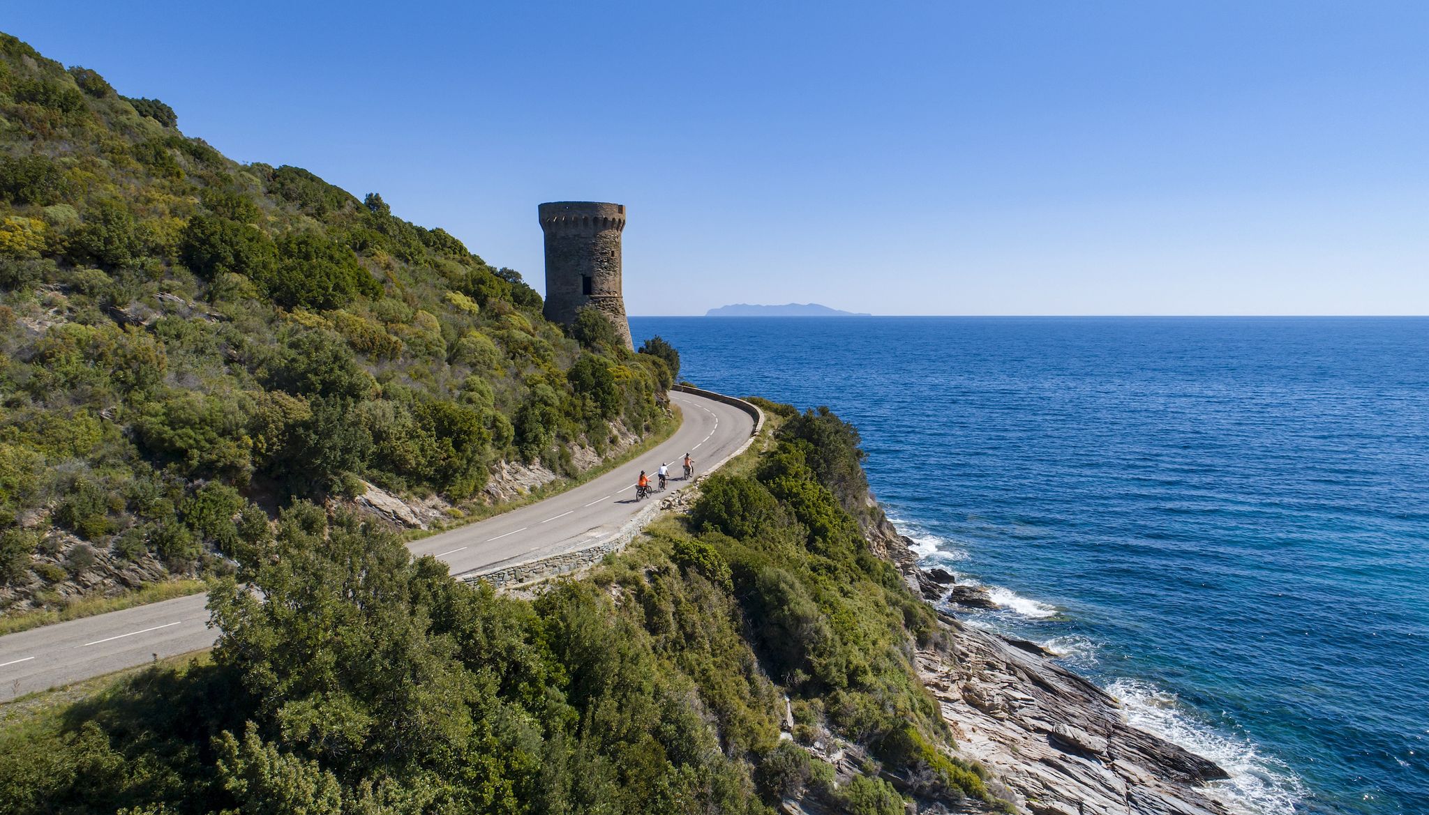
The Great Crossing of Corsica by bike – GT 20
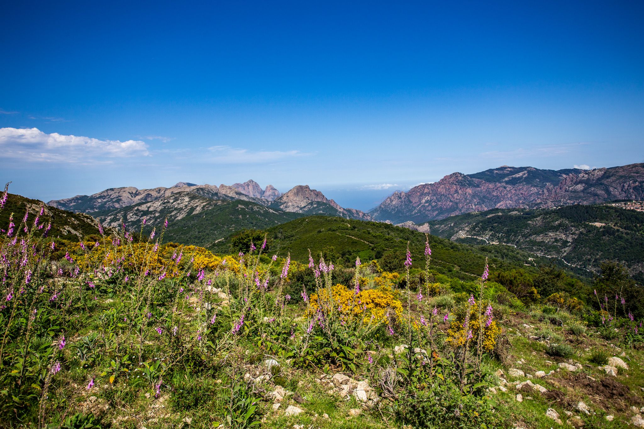
Always upwards - Passes in the north of Corsica
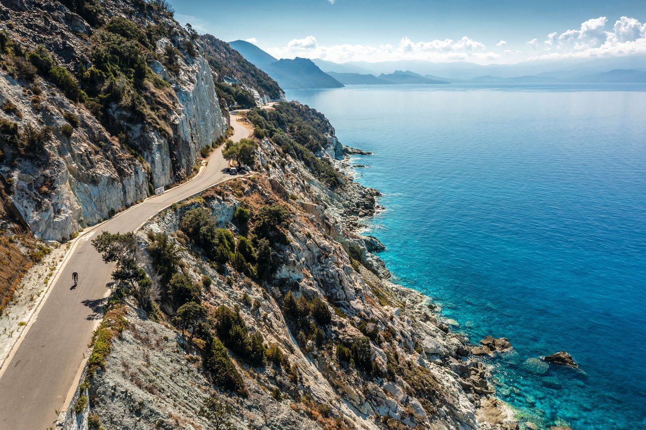
Corsica: Dream tours on France's mountainous Mediterranean island
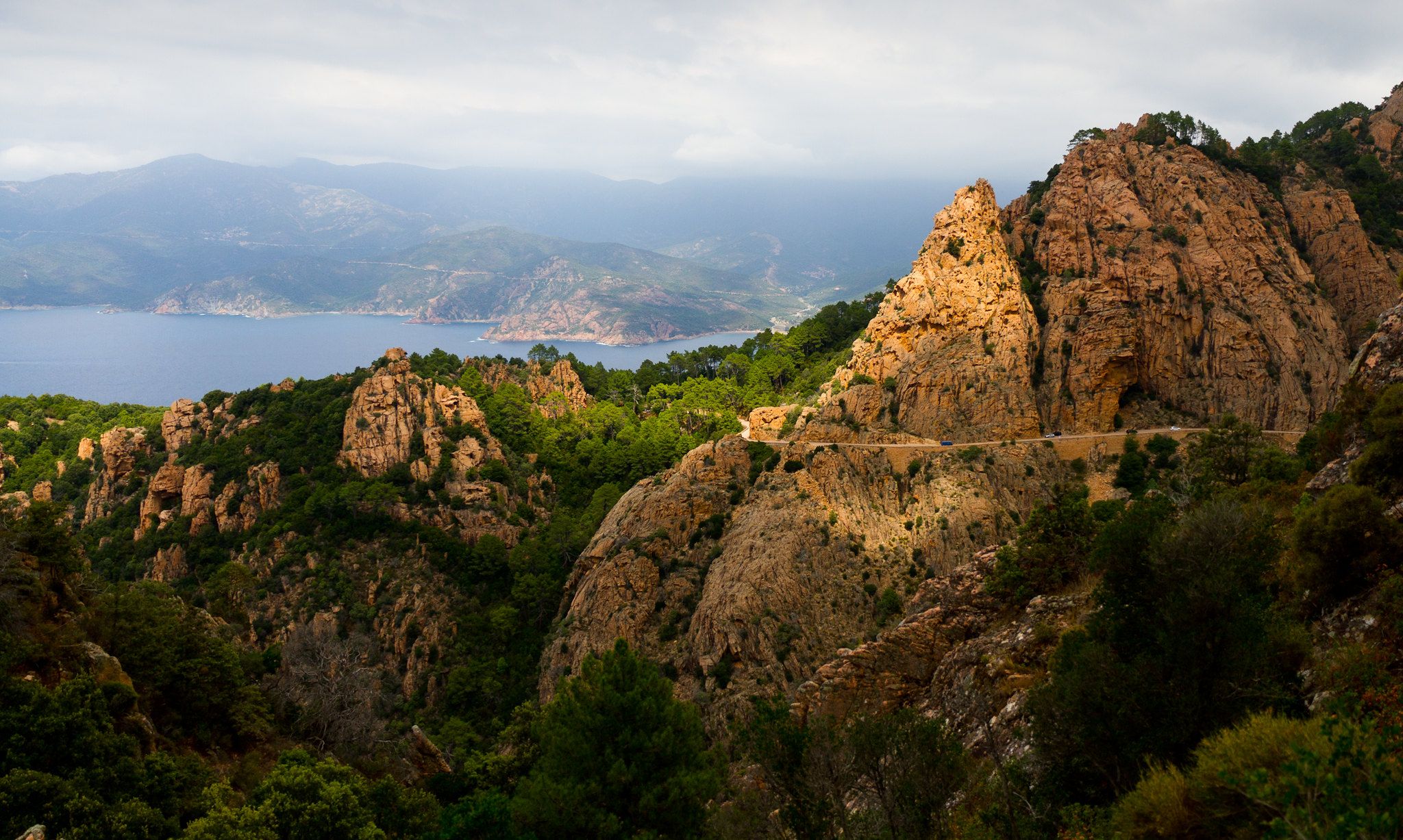
From Cape Corsica to Syracuse — three Mediterranean islands
Road Cycling Routes around Saint-Florent
Cycling around Saint-Florent
Running Trails around Saint-Florent
MTB Trails around Saint-Florent

Gravel biking around Saint-Florent
Other adventures around Saint-Florent


Tips from the Community

The campsite is located directly on the sandy beach. The sea is very shallow in this area. Large pitches, partly shaded, sanitary facilities simple and clean. With restaurant and mini-kiosk.
0
0

Beautiful trail to do on foot, some small exposed and collapsed sections but passable.
0
0


The Saint-Florent marina (Port de Plaisance or Mare e Stagnu) is one of the largest and most attractive in Corsica: ⚓ Brief description: Location & Capacity: Located directly below the citadel and in the heart of the historic town center. It offers approximately 840 berths (including around 270 for visitor yachts up to 45m in length) with drafts between 1.5m and 6m. Infrastructure & Services: Well-equipped – water and electricity connections (some up to 125A), sanitary facilities with showers/WCs, Wi-Fi, fuel station, washing machine, garbage disposal, and a lifting platform for up to 60t. marinaberths.com Safety & Organization: Year-round operation. Guards, video surveillance, VHF channel 9, daily weather forecasts at reception predictwind.com Atmosphere: Pure Mediterranean flair – boaters experience the vibrant life while strolling along the colorful quays, with their many cafés, restaurants, and evening market atmosphere. Natural feature: Well protected from sea winds, but in strong northwesterly winds, caution is necessary when entering or leaving the port. Conclusion: The Saint-Florent marina is a fully equipped, lively marina center with an excellent location, high levels of comfort, and authentic Corsican charm – perfect for boating enthusiasts seeking central infrastructure with a historic ambiance.
1
0
The Citadel of Saint-Florent is an impressive, historic fortress overlooking the city's picturesque harbor. Built in the 15th century (from 1440/39) by the Genoese under Giano Campofregoso, it was expanded in the 16th and 17th centuries with two round towers and a striking square tower structure. Architecture: The cylindrical main structure with two crescent-shaped towers and a square keep is striking – a masterpiece of military architecture. Strategic Location: It maintained a view and control over the Gulf of Saint-Florent and protected important trade routes, as well as Bastia in the background. Historical Significance: It played a central role in several sieges (1553–54), and was the site of Pascal Paoli's exile in 1795. It was later converted into a garrison and gendarmerie base. Damaged during World War II Today: Municipal property since 1986, protected as a historic monument since 1991/94; serves as a cultural space with summer exhibitions and music festivals, with magnificent panoramic views. In brief: The Citadel of Saint-Florent is a massive, circular Genoese fortress with three towers, strategically located above the town. It reflects centuries of turbulent Corsican history and today offers cultural uses as well as spectacular views of the harbor and gulf.
1
0

Beautiful view over the bay of St. Florent
0
0

Small lighthouse with a bright red crown on the lonely hiking trail Sentier Litoral - Sentier des Douaniers
0
0

Saint-Florent is also known as "the Corsican Saint-Tropez" because of its Mediterranean flair. In the 1970s, Saint-Florent was a place for the jet set. The town is located high in the northwest of the island of Corsica on the Gulf of the same name between the almost uninhabited Désert des Agriates and Cap Corse.
2
0
Frequently Asked Questions
What is the general difficulty level of hiking trails around Saint-Florent?
Hiking around Saint-Florent offers a range of difficulties. The komoot community has identified 46 routes, with 29 considered easy, 12 moderate, and 5 difficult. This means you can find trails suitable for various fitness levels, from leisurely walks to more challenging treks.
Are there family-friendly hiking options in Saint-Florent?
Yes, Saint-Florent and the surrounding Nebbiu-Conca d'Oru region offer well-maintained, signposted trails suitable for all levels, including easy family walks. The region research mentions the Murato loop as a family-friendly hike through natural areas and heritage sites.
What natural features and landmarks can I expect to see on hikes in Saint-Florent?
Hikes in Saint-Florent showcase diverse landscapes. You can explore the wild scrubland and rugged rocks of the Agriates Desert, enjoy stunning views of the Gulf of Saint-Florent, and discover pristine beaches like Lotu Beach. Trails also lead through the famous Patrimonio vineyards and past historical sites such as the Genoese Tower of Mortella, located near Mortella Point.
What is the best time of year to go hiking in Saint-Florent?
Saint-Florent is an excellent destination for outdoor activities. While specific seasonal advice isn't provided, the region's Mediterranean climate suggests spring and autumn would offer pleasant temperatures for hiking, avoiding the peak heat of summer.
Can I bring my dog on hikes around Saint-Florent?
The provided information does not specify regulations for dogs on trails. It's always recommended to check local signage or with the regional tourist office for specific rules regarding pets on hiking paths in Saint-Florent to ensure a pleasant experience for everyone.
Are there any circular hiking routes available in Saint-Florent?
Yes, many routes around Saint-Florent are designed as loops. For example, the View of Anse de Fornali – Delta de Bughju loop from Saint-Florent and the View of Anse de Fornali – Plage de Saleccia loop from Saint-Florent are popular circular options offering extensive coastal views.
What do other hikers enjoy the most about hiking in Saint-Florent?
The area is highly rated by the komoot community, with an average score of 4.37 stars from over 1000 reviews. Hikers often praise the diverse landscapes, from coastal paths with stunning sea views to wild scrubland and vineyards. The variety of trails catering to different abilities is also frequently highlighted.
Are there any historical sites or attractions accessible via hiking trails?
Yes, several trails lead to historical and cultural points of interest. You can encounter the Genoese Tower of Mortella on coastal paths, and some hikes lead to historic villages and sites like the Cathedral of Nebbio or the Church of Santa Maria Assunta. The Chjassu di u Cunventu in Farinole is a village loop trail that allows discovery of Farinole and its landscapes, passing by the Marianda convent ruins.
What kind of terrain can I expect on the trails around Saint-Florent?
The terrain around Saint-Florent is quite varied. You'll find coastal paths winding along the Mediterranean, rugged rocks and scrubland in the Agriates Desert, and trails through fertile plains and vineyards in the Nebbiu-Conca d'Oru micro-region. Some routes, like the Coastal Path loop from Olzo, specifically feature coastal terrain.
Are there any long-distance or challenging hikes in the Saint-Florent area?
Yes, Saint-Florent offers challenging options for experienced hikers. For instance, the View of Anse de Fornali – Plage de Saleccia loop from Saint-Florent is a difficult 18.3-mile (29.5 km) path featuring coastal scenery. The historic Sentier des Douaniers (Coastal Path) is also known for its longer, more demanding sections, such as the 16km walk between Saleccia Beach and Saint-Florent via Lotu Beach, which can take 5-6 hours.
Are there opportunities for wild swimming or beach access during hikes?
Absolutely. The region is home to stunning beaches like Lotu Beach and Saleccia Beach, which are often considered among Corsica's most beautiful. These are accessible via coastal trails and provide excellent opportunities for swimming breaks during your hikes, especially on routes like the Sentier des Douaniers.
Most popular attractions around Saint-Florent

Get inspired with the komoot mobile app


Explore more
Browse the best Hikes in other regions.
