The best road cycling routes around Saint-Nizier-D'Azergues
4.8
(65)
1,559
riders
136
rides
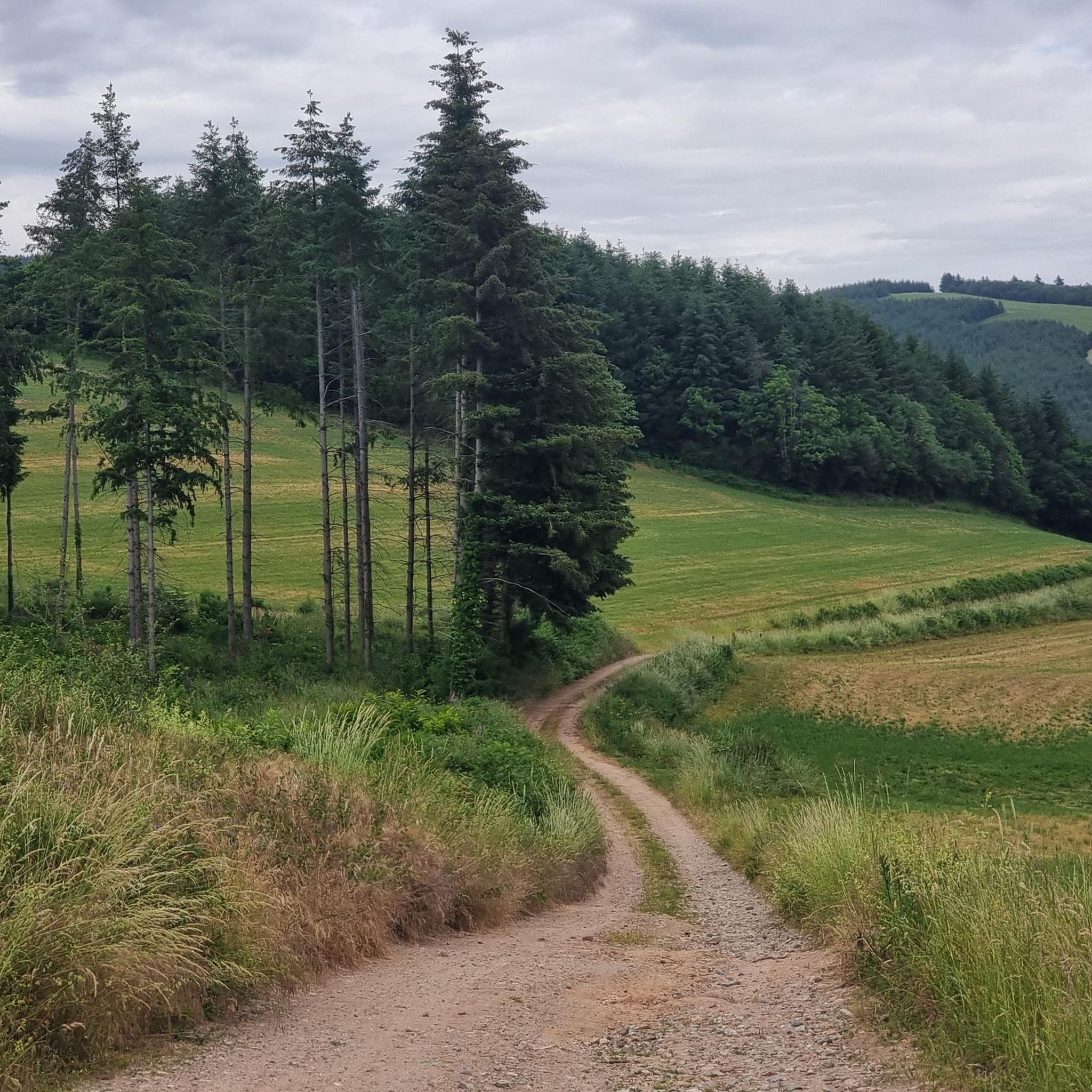
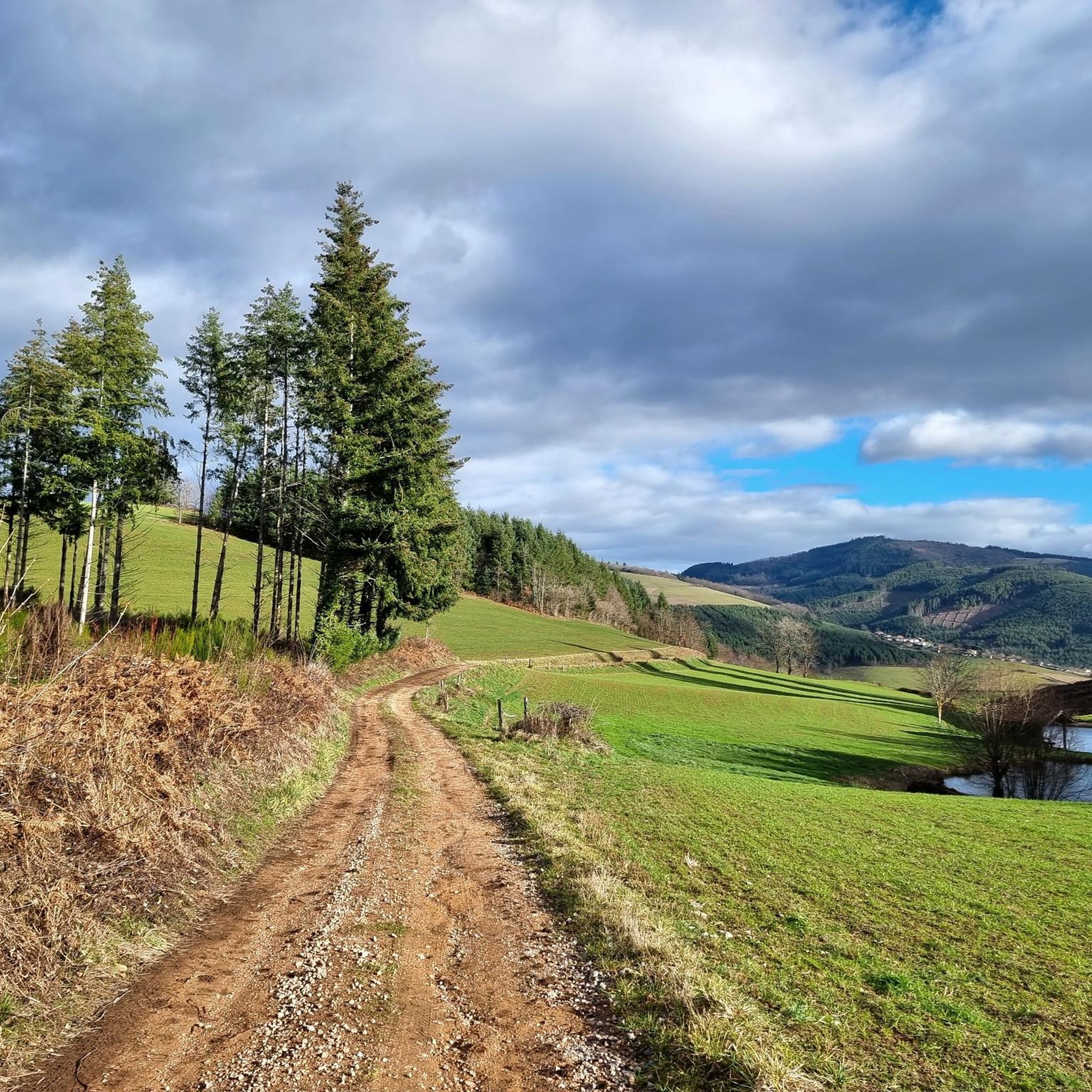
Road cycling around Saint-Nizier-D'Azergues is characterized by the diverse topography of the Beaujolais region, featuring undulating hills, deep valleys, and extensive forests. The area is nestled within the Monts du Beaujolais and the Azergues river valley, offering varied terrain from challenging ascents to scenic lowland rides. Cyclists encounter dense Douglas fir forests and open pastures, with surrounding high Beaujolais valleys providing demanding climbs.
Best road cycling routes around Saint-Nizier-D'Azergues
- The most popular road cycling route is Tour of the Beaujolais…
Last updated: July 1, 2026
5.0
(1)
3
riders
72.1km
03:50
1,390m
1,390m
This difficult 44.8-mile (72.1 km) road cycling loop from Lamure-sur-Azergues takes you through the scenic Beaujolais region.
16
riders
56.8km
03:15
1,330m
1,330m
Hard road ride. Very good fitness required. Mostly well-paved surfaces and easy to ride.

Sign up for free
14
riders
39.3km
02:16
930m
930m
Hard road ride. Very good fitness required. Mostly well-paved surfaces and easy to ride.
15
riders
45.4km
02:31
890m
880m
Moderate road ride. Good fitness required. Mostly well-paved surfaces and easy to ride.
25
riders
42.9km
01:52
370m
370m
Moderate road ride. Good fitness required. Mostly well-paved surfaces and easy to ride.
Get access to more routes and recommendations from other explorers.
Sign up for free
Already have an account?
Our route recommendations are based on thousands of hikes, rides, and runs completed by other people on komoot.
Start today with a free account
Your next adventure awaits.
Login or Signup
Tips from the Community

Here is the route of the ascent of the Col de la Cambuse from Grandris
1
0


Beautiful pass at 736 m, quite gentle, 6.1% average. Nice to do by mixing with the 76 gravel hiking trail.
3
0

The Col de Saint-Bonnet, located in the heart of the Alps, offers a spectacular panorama of the surrounding mountains and green valleys. This pass, perched at an altitude of 1,499 metres, is a favourite passage for hikers and cyclists in search of magnificent landscapes. As you climb the slopes of the pass, the view gradually opens up onto the Alpine peaks, forests and flowery meadows.
0
3

... or Clochemerle. View of its church.
0
0
Very pleasant route through the undergrowth, then offering a magnificent view towards the Montmélas valley on a balcony section.
0
0

For a little refreshing break between 2 passes
0
0
The Col de la Croix-Rosier is a road pass in the Massif Central, located in the Rhône department. Its altitude is 721 meters.
0
0
Frequently Asked Questions
How many road cycling routes are available around Saint-Nizier-D'Azergues?
There are over 130 road cycling routes around Saint-Nizier-D'Azergues, offering a wide range of options for different skill levels. You'll find routes varying from moderate to difficult, with a few easier options available.
What is the typical terrain like for road cycling in the Beaujolais region around Saint-Nizier-D'Azergues?
The Beaujolais region is characterized by undulating hills, deep valleys, and extensive forests. Cyclists can expect a diverse terrain, ranging from challenging ascents in the Monts du Beaujolais to more leisurely rides through scenic lowlands, often following the Azergues river valley.
When is the best time of year for road cycling around Saint-Nizier-D'Azergues?
The region is generally pleasant for road cycling from spring through autumn. During these seasons, you can enjoy the lush landscapes, comfortable temperatures, and the vibrant atmosphere of the Beaujolais, including opportunities to pass by local vineyards and producers.
Are there any notable landmarks or scenic viewpoints to discover while road cycling?
Yes, routes often feature magnificent viewpoints across the sprawling Beaujolais landscape. You might also encounter historic viaducts, remnants of the former railway line, adding a unique charm. Specific highlights include the Cross of Forces, the serene Lac des Sapins, and various mountain passes like Cambuse Pass.
What do other road cyclists appreciate most about the routes in Saint-Nizier-D'Azergues?
The routes in Saint-Nizier-D'Azergues are highly rated by the komoot community, with an average score of 4.8 stars from over 50 reviews. Cyclists often praise the varied terrain, the challenging ascents, and the panoramic views, as well as the well-defined options for different skill levels.
Can I find circular road cycling routes around Saint-Nizier-D'Azergues?
Yes, many of the road cycling routes in the area are designed as loops. For example, the challenging Oingt – Le relais du Parasoir loop from Lamure-sur-Azergues and the Col de la Croix Rosier (721 m) – Col de Casse Froide loop from Claveisolles are popular circular options.
What is the typical elevation gain on road cycling routes in the Beaujolais region?
Given the undulating hills and mountain passes of the Beaujolais, road cycling routes often feature significant elevation gains. For instance, the Tour of the Beaujolais Passes includes over 1390 meters of ascent, providing a good challenge for experienced riders.
Are there options for family-friendly or easier road cycling routes?
While many routes are moderate to difficult, there are a few easier options available. These typically follow the valleys, offering less strenuous rides through picturesque scenery. It's always recommended to check the route details on komoot for specific difficulty ratings and elevation profiles to find the best fit for your family.
Where can I find parking for road cycling routes in Saint-Nizier-D'Azergues?
Parking is generally available in and around the villages that serve as starting points for many routes, such as Lamure-sur-Azergues or Claveisolles. Look for designated parking areas within these communes, often near town centers or trailheads.
Are there places to stop for refreshments or local produce along the routes?
Yes, the region is known for its local culture and gastronomy. Many routes pass by local producers, vineyards, and farms, offering unique chances for cultural stops and gastronomic discoveries. You might find cafes or small eateries in villages along your ride, such as Le relais du Parasoir.
What kind of natural features can I expect to see along the cycling routes in the Azergues valley?
Cycling through the Azergues valley, you'll experience a lush environment shaped by the Aze and Ergues streams. Expect dense Douglas fir forests, offering shaded pathways and the refreshing scent of conifers, interspersed with open pastures and views of the surrounding high Beaujolais valleys.
Are there challenging road cycling routes for experienced riders?
Absolutely. The Monts du Beaujolais offer demanding climbs and significant elevation gains, perfect for experienced cyclists. Routes like the Tour of the Beaujolais Passes or the Col du Parasoir (657 m) – Saint-Bonnet Pass loop from Lamure-sur-Azergues are rated as difficult and provide a substantial challenge.
Most popular routes around Saint-Nizier-D'Azergues
Most popular attractions around Saint-Nizier-D'Azergues

Get inspired with the komoot mobile app


Explore more
Browse the best Road cycling routes in other regions.
