The best walks and hikes around Sant'Antonino
4.6
(1873)
11,686
hikers
16
hikes
Hiking around Sant'Antonino offers diverse landscapes, from mountain peaks and valleys to wooded areas and unique geological formations. The region features networks of routes that lead along rivers, past impressive waterfalls, and through varied topography. Hikers can explore natural monuments and enjoy panoramic views from elevated points. The terrain includes both gentle paths and more challenging ascents, providing a range of outdoor experiences.
Best hiking trails around Sant'Antonino
- The most popular hiking route is Pigna – Superb trail near Pigna loop from Sant'Antonino, a 2.8 miles (4.5 km) trail that takes 1 hour 34 minutes to complete. This moderate route offers views of the surrounding natural beauty.
- Another top favourite among local hikers is Sant' Antonino – Monte Sant'Anghjulu loop from Sant'Antonino, a moderate 6.2 miles (10.0 km) path. This route ascends to Monte Sant'Anghjulu, providing panoramic vistas over the valleys.
- Local hikers also love the Church of the Trinity of Aregno – Sant' Antonino loop from Sant'Antonino, a 6.1 miles (9.9 km) trail leading through varied terrain, often completed in about 3 hours 9 minutes.
- Hiking around Sant'Antonino is defined by mountain peaks, natural monuments, and wooded areas. The network offers options for various ability levels, from easy strolls to moderate mountain trails.
- The routes in Sant'Antonino are highly rated by the komoot community with an average score of 4.5 stars from over 1800 reviews. More than 11500 hikers have used komoot to explore Sant'Antonino's varied terrain.
Last updated: July 9, 2026
4.8
(102)
418
hikers
4.54km
01:35
240m
240m
Moderate hike. Great for any fitness level. Mostly accessible paths. Sure-footedness required.
4.3
(10)
33
hikers
8.16km
02:39
360m
360m
Moderate hike. Good fitness required. Mostly accessible paths. Sure-footedness required.

Sign up for free
4.8
(12)
75
hikers
8.75km
03:00
410m
410m
Moderate hike. Good fitness required. Mostly accessible paths. Sure-footedness required.
4.6
(16)
73
hikers
9.96km
03:11
410m
400m
Moderate hike. Good fitness required. Easily-accessible paths. Suitable for all skill levels.
5.0
(3)
28
hikers
Easy hike. Great for any fitness level. Easily-accessible paths. Suitable for all skill levels.
Get access to more routes and recommendations from other explorers.
Sign up for free
Already have an account?
Our route recommendations are based on thousands of hikes, rides, and runs completed by other people on komoot.
Start today with a free account
Your next adventure awaits.
Login or Signup

Tips from the Community

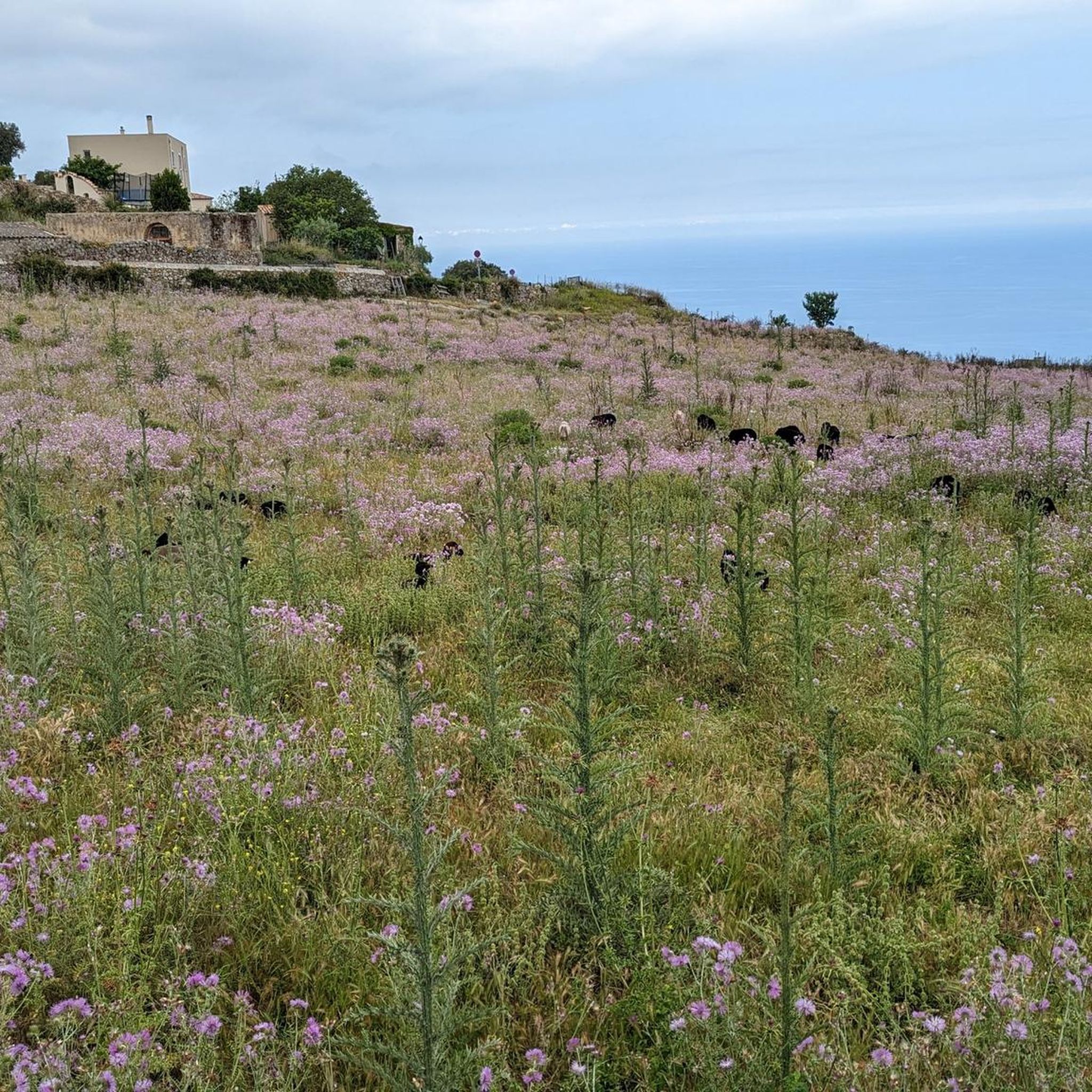
pretty here, very pretty
0
0
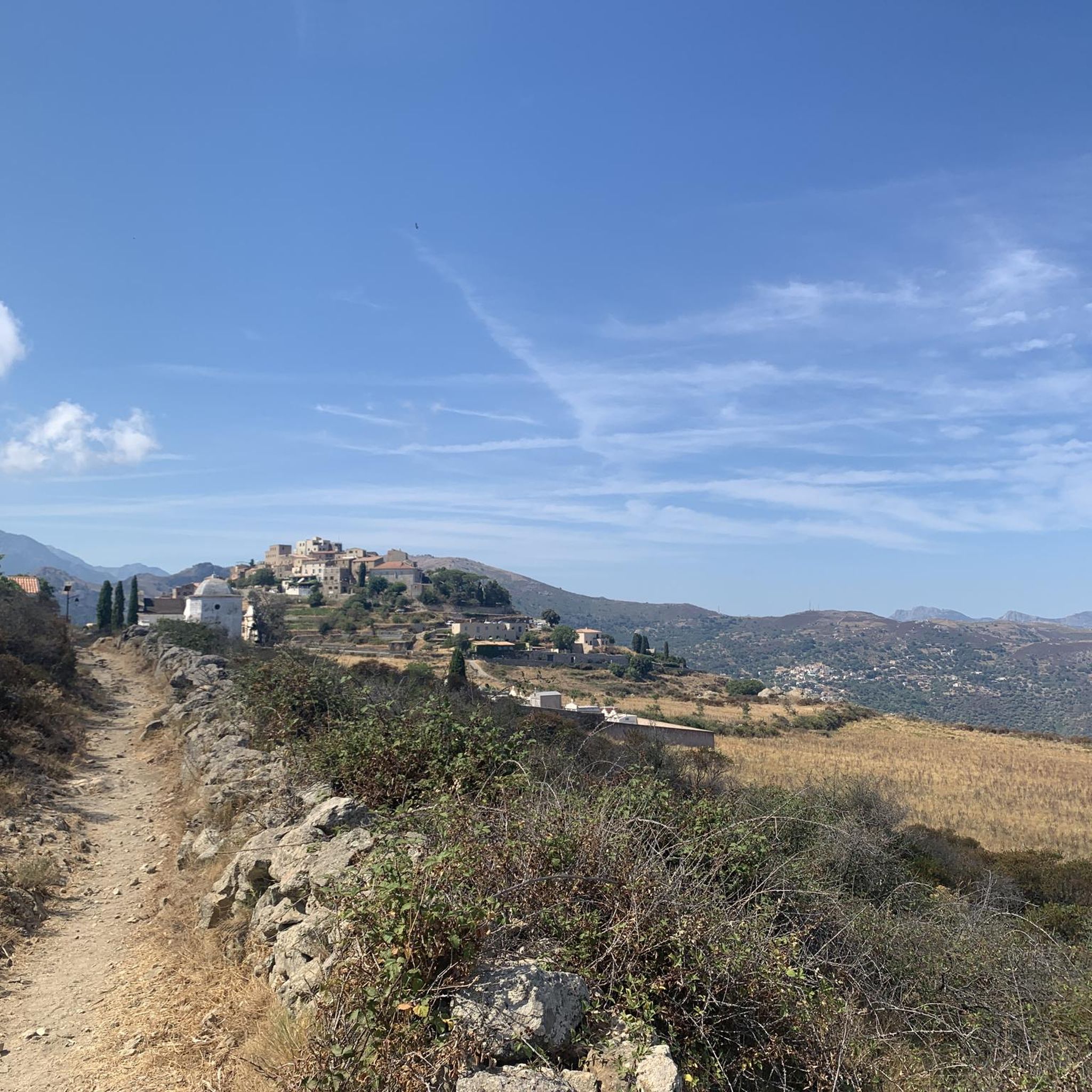
pretty here, very pretty
0
0
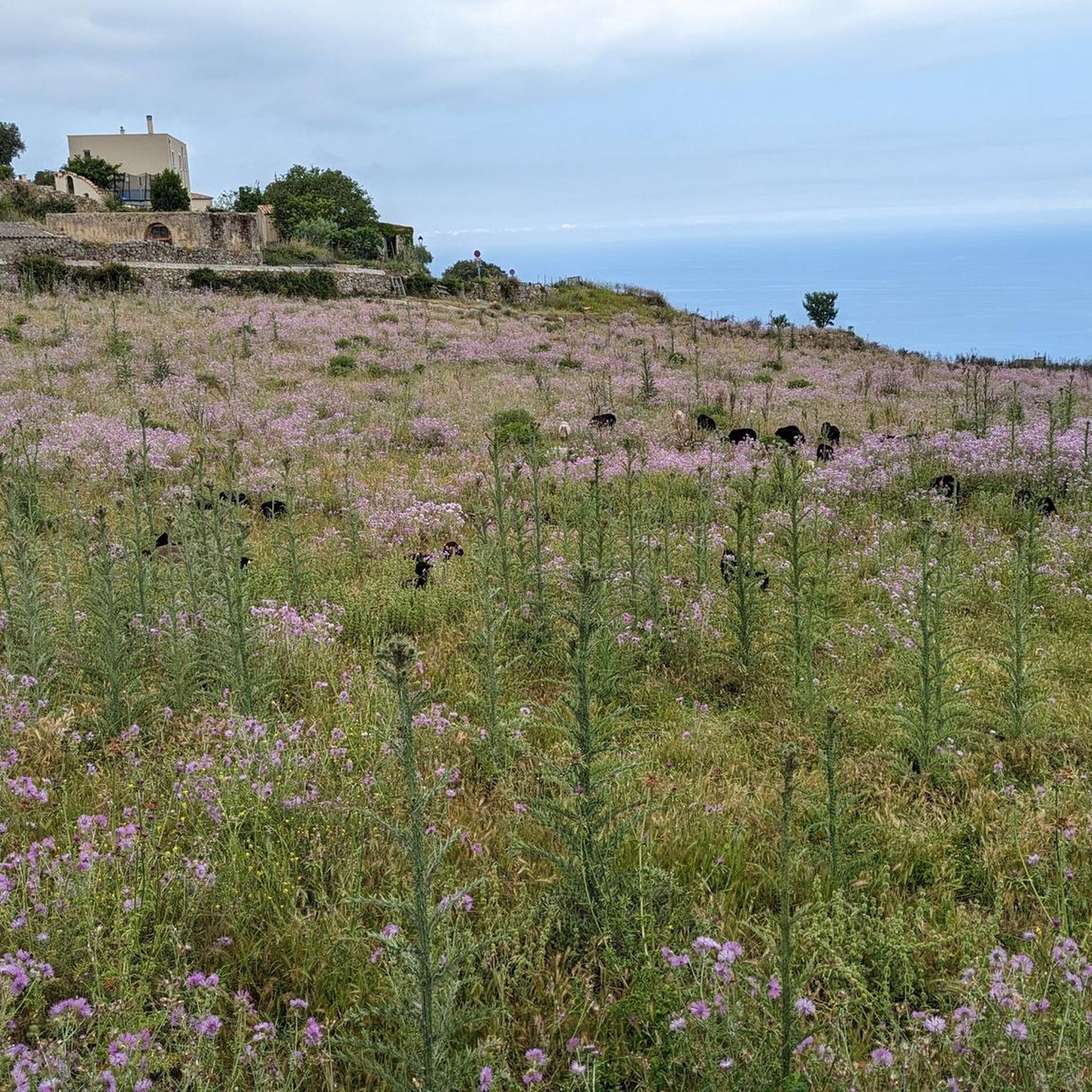
pretty here, very pretty
0
0


I was particularly impressed by the votive ship.
0
0

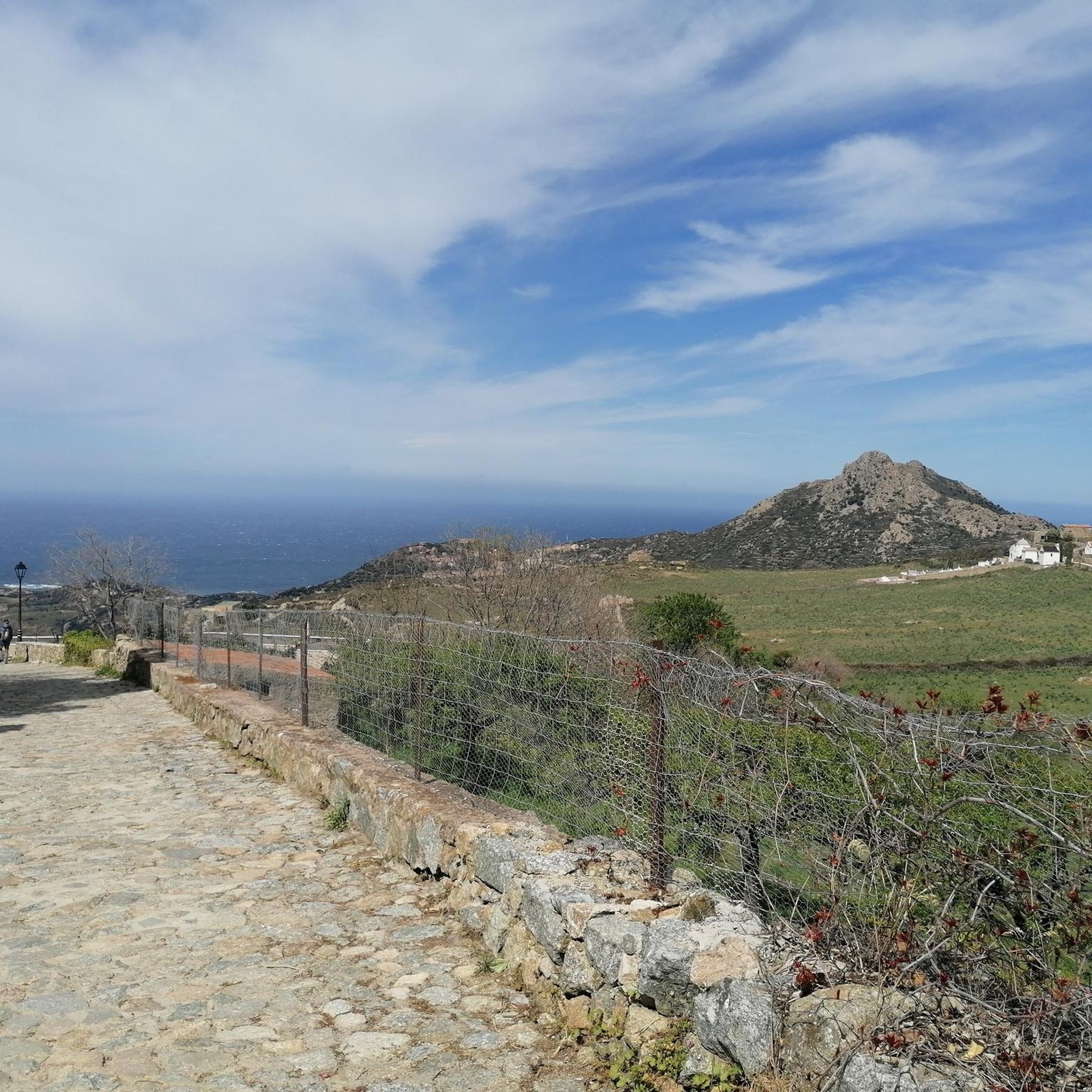
The church, located in the middle of a cemetery, was built in the 11th century in the Pisan-Romanesque style. It is considered one of the most beautiful churches in Corsica. It was recently extensively renovated with funds from the EU and the Corsican regional association.
0
0
Frequently Asked Questions
How many hiking trails are available in Sant'Antonino?
There are 15 hiking trails around Sant'Antonino, catering to various skill levels. You'll find a mix of easy and moderate routes, ensuring there's something for everyone.
Are there easy hiking trails suitable for beginners or families?
Yes, Sant'Antonino offers 8 easy hiking routes, perfect for beginners or families looking for a relaxed outdoor experience. These trails often pass through picturesque villages and offer gentle terrain.
What kind of natural features can I expect to see on hikes in Sant'Antonino?
Hiking in Sant'Antonino allows you to explore a diverse landscape, including mountain peaks, natural monuments, and wooded areas. Many routes lead along clear rivers to impressive waterfalls, and you can enjoy panoramic views over valleys from elevated points. The region also features unique geological formations.
Are there any circular hiking routes in Sant'Antonino?
Yes, many of the trails in Sant'Antonino are circular, offering convenient starting and ending points. For example, the Sant' Antonino – Monte Sant'Anghjulu loop from Sant'Antonino is a moderate 6.2-mile path that provides panoramic vistas.
What do other hikers enjoy most about hiking in Sant'Antonino?
The area is highly rated by the komoot community, with an average score of 4.5 stars from over 1800 reviews. Hikers often praise the diverse landscapes, from mountain peaks to wooded areas, and the well-maintained network of routes that lead past natural monuments and offer stunning panoramic views.
Are there any specific viewpoints or landmarks to look out for on the trails?
Yes, Sant'Antonino offers several notable viewpoints and landmarks. You can find stunning vistas like the View from Capu d'Occi or the View of La Pietra Island. Other natural monuments include the Ancient Holm Oak of Balagne and the Rock Formations of Roccapina.
Are there any historical or cultural sites integrated into the hiking paths?
Some hiking paths in Sant'Antonino pass through historical centers and alongside ancient monuments, including Roman remains, castles, and towers. This allows you to enrich your hiking experience with cultural insights, such as sections of the Via Francigena pilgrimage routes.
Are there any accommodations or places to rest along the trails?
Yes, some routes feature cozy mountain huts, providing opportunities for rest and an authentic experience. In certain wooded areas, basic bivouacs equipped with tables and benches are also available for overnight stays.
What is the best time of year to go hiking in Sant'Antonino?
Sant'Antonino offers diverse landscapes that can be enjoyed across different seasons. While specific recommendations depend on the trail, spring and autumn generally provide pleasant temperatures and vibrant scenery. Summer is ideal for higher altitude trails, and some areas may offer winter hiking opportunities.
Are there any specific trails that offer views of the Pigna area?
Yes, for views of the Pigna area, consider the Sant' Antonino – View of Pigna loop from Sant'Antonino. This moderate 2.1-mile route offers scenic perspectives of the surrounding landscape.
What is the typical duration for a moderate hike in Sant'Antonino?
Moderate hikes in Sant'Antonino can vary in duration. For instance, the Church of the Trinity of Aregno – Sant' Antonino loop from Sant'Antonino, which is 6.1 miles long, typically takes about 3 hours and 9 minutes to complete.
Most popular routes around Sant'Antonino
Most popular attractions around Sant'Antonino

Get inspired with the komoot mobile app


Explore more
Browse the best Hikes in other regions.
