The best walks and hikes around Valle-Di-Campoloro
4.4
(1614)
5,816
hikers
165
hikes
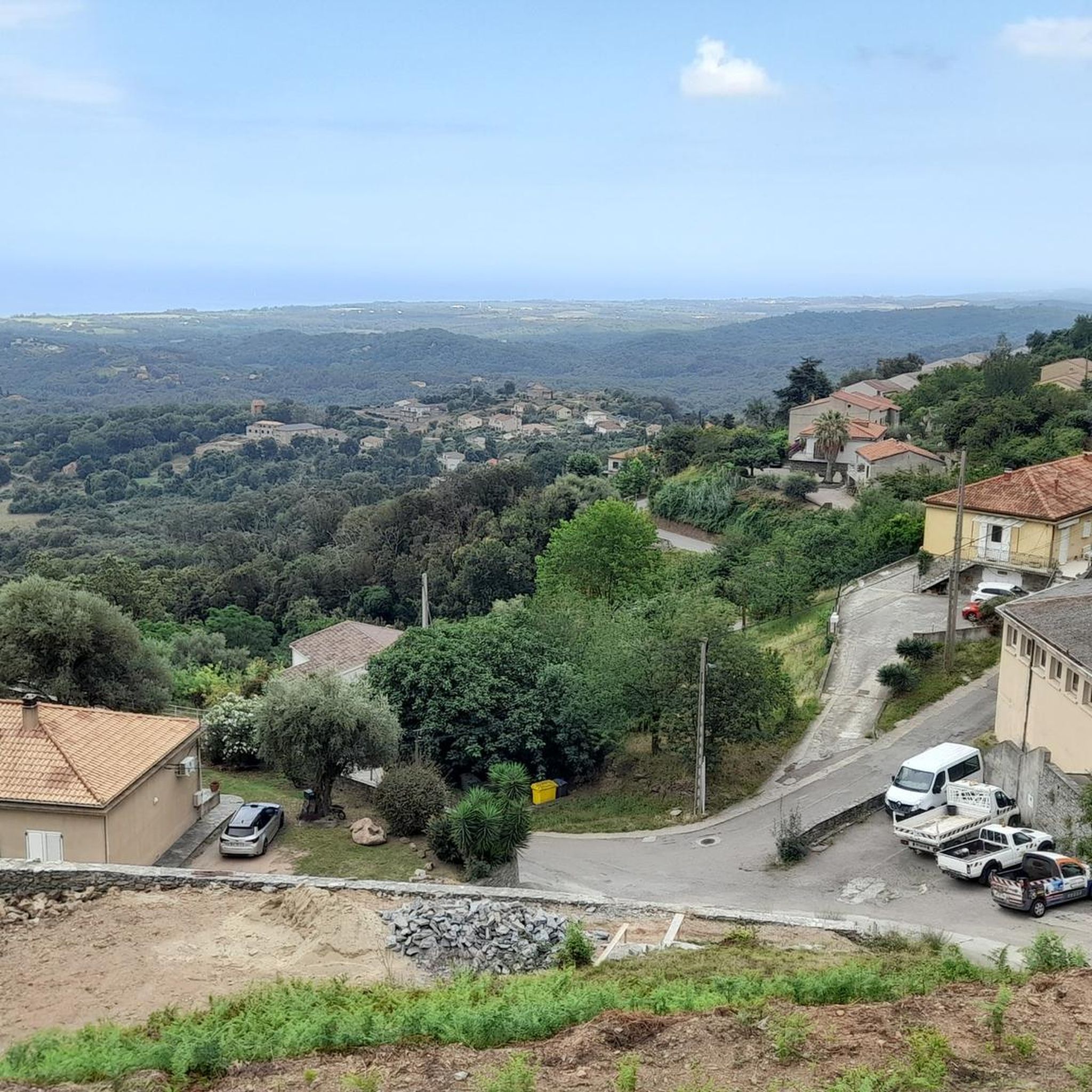
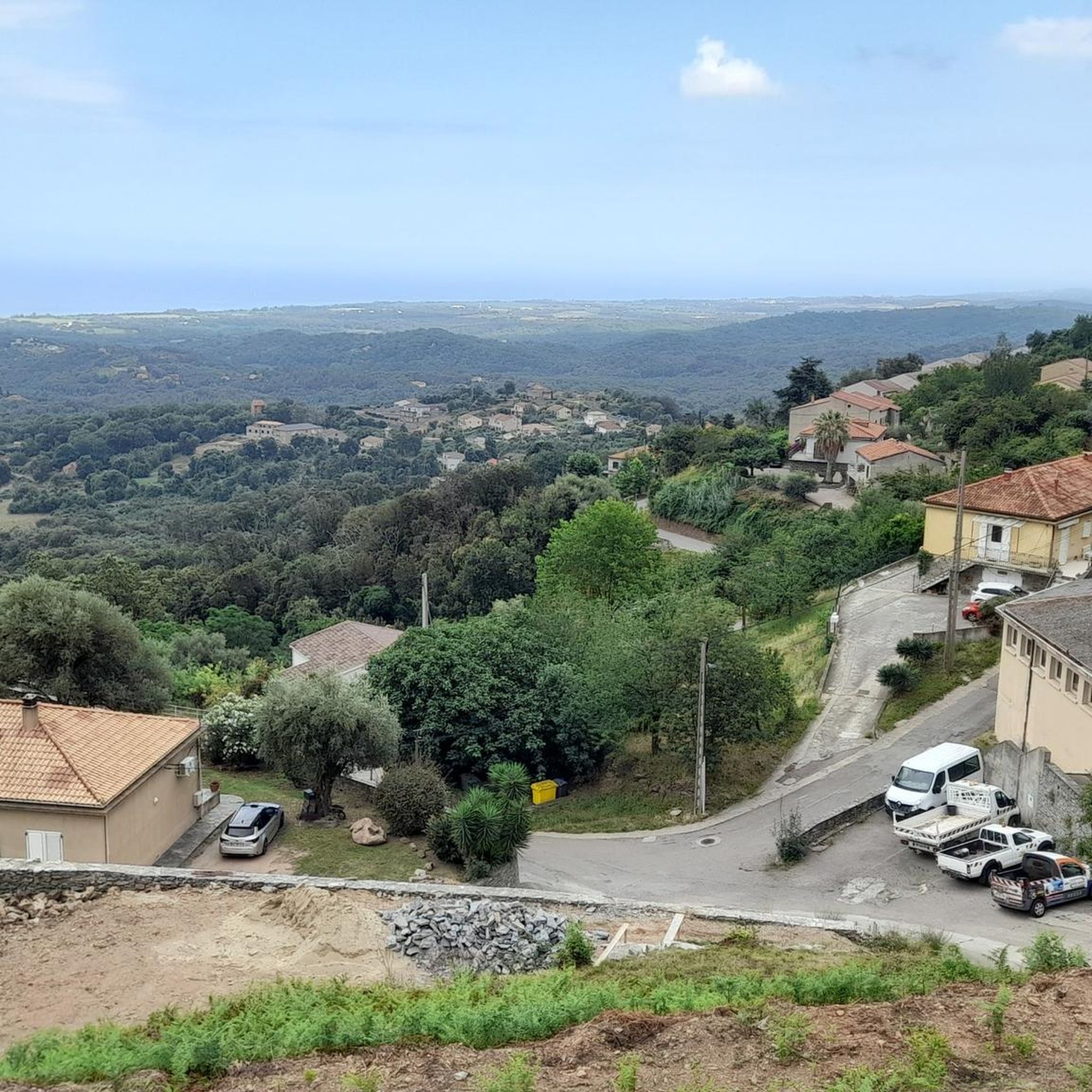
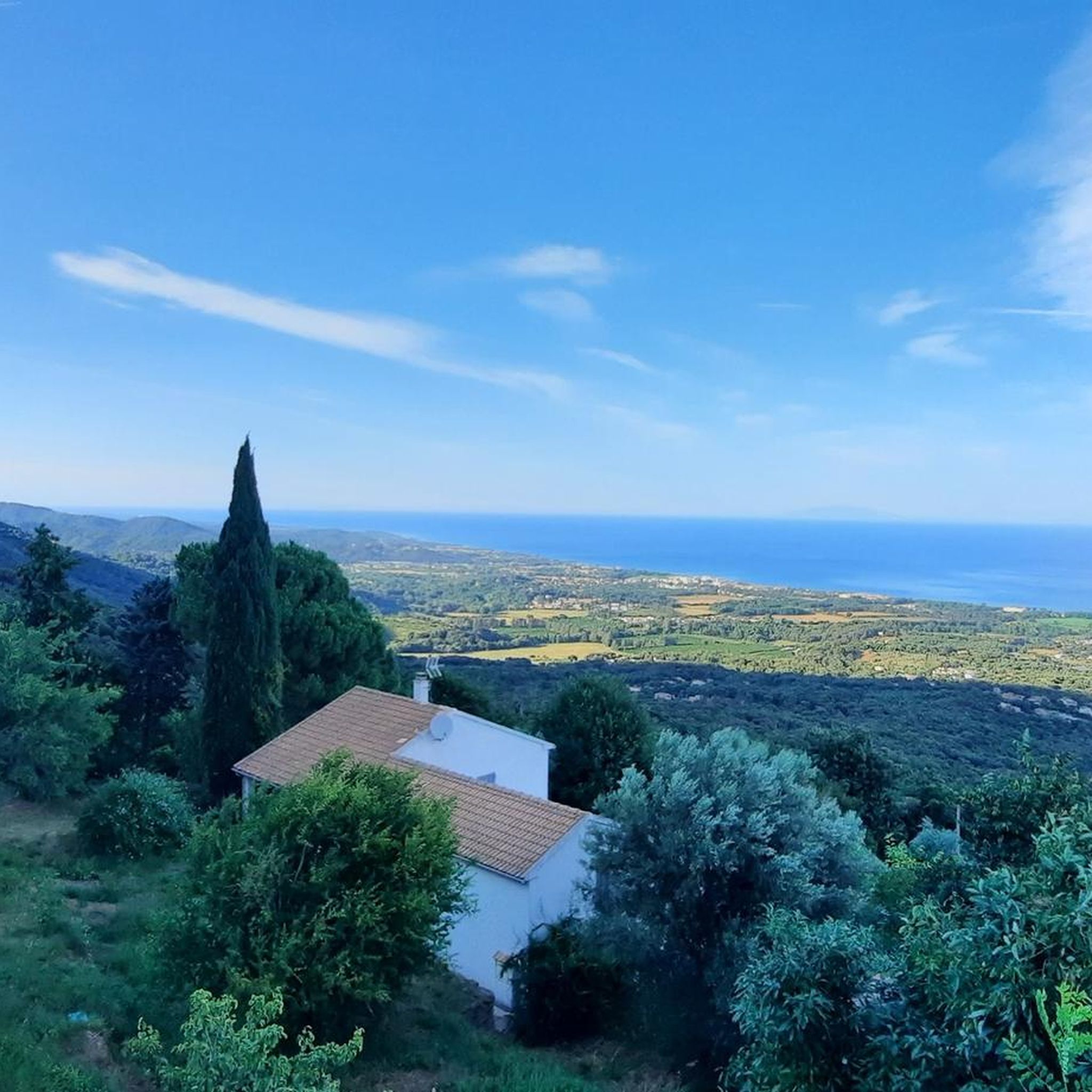
Hiking trails around Valle-Di-Campoloro traverse a diverse landscape where the Mediterranean Sea meets rugged hills. The commune, located on Corsica's east coast, features elevations from sea level up to 976 meters. This area is characterized by a jagged coastline, fragrant *maquis* shrubland, and wooded hills that extend towards the Monte San Petrone massif. Hikers can experience both coastal paths and inland routes with varied terrain.
Best hiking trails around Valle-Di-Campoloro
- The most popular hiking route is Plants at the harbor – Torre di Prunete loop from Carduselle, a 4.6 miles (7.3 km) trail that takes 1 hour 55 minutes to complete. This easy route offers coastal views and passes through Mediterranean vegetation.
- Another top favourite among local hikers is Genoese bridge – Bucatoggio Waterfall loop from La roulotte, a moderate 10.7 miles (17.2 km) path. This trail leads to the Ucelluline Falls and a historic Genoese bridge.
- Local hikers also love the Isolotto Trail – Genoese bridge loop from Dirudu, a 10.4 miles (16.7 km) trail leading through varied terrain, often completed in about 4 hours 45 minutes. This moderate route combines coastal and inland features.
- Hiking around Valle-Di-Campoloro is defined by coastal paths, fragrant *maquis*-covered hills, and routes leading to waterfalls. The network offers options for different ability levels, from easy coastal strolls to more challenging inland treks.
- The routes in Valle-Di-Campoloro are highly rated by the komoot community with an average score of 4.4 stars from over 1,600 reviews. More than 5,900 hikers have used komoot to explore Valle-Di-Campoloro's varied terrain.
Last updated: June 28, 2026
4.6
(151)
482
hikers
6.94km
02:15
310m
310m
Moderate hike. Good fitness required. Easily-accessible paths. Suitable for all skill levels.
4.7
(53)
219
hikers
Moderate hike. Good fitness required. Mostly accessible paths. Sure-footedness required.

Sign up for free
4.7
(33)
108
hikers
Moderate hike. Good fitness required. Mostly accessible paths. Sure-footedness required.
4.5
(48)
120
hikers
Easy hike. Great for any fitness level. Easily-accessible paths. Suitable for all skill levels.
4.5
(43)
109
hikers
5.73km
01:42
180m
170m
Easy hike. Great for any fitness level. Easily-accessible paths. Suitable for all skill levels.
Get access to more routes and recommendations from other explorers.
Sign up for free
Already have an account?
Our route recommendations are based on thousands of hikes, rides, and runs completed by other people on komoot.
Start today with a free account
Your next adventure awaits.
Login or Signup
Tips from the Community

Saint Francis of Assisi, whose 800th anniversary of death we are celebrating this year, (...). The Poverello encourages us to fix our gaze on Jesus: "Let us all, brothers, pay attention to the good shepherd who, to save his sheep, suffered the torment of the cross" (Erm VI). Therefore, let us accept Saint Francis' invitation on this Way of the Cross and follow in Jesus' footsteps, not just ritually or intellectually, but with our whole being and our whole life: "Offer yourselves in body and bear his holy cross and follow his most holy commandments to the end" (Off XV 13). (from the introduction to the Way of the Cross with the Holy Father, Pope Leo XIV., in the Roman Colosseum on April 3, 2026)
0
0

Corsica is always beautiful!
0
0
The weather wasn't great for us, but it's still worth a visit!
0
0
It was a hike in the fog but still great
0
0

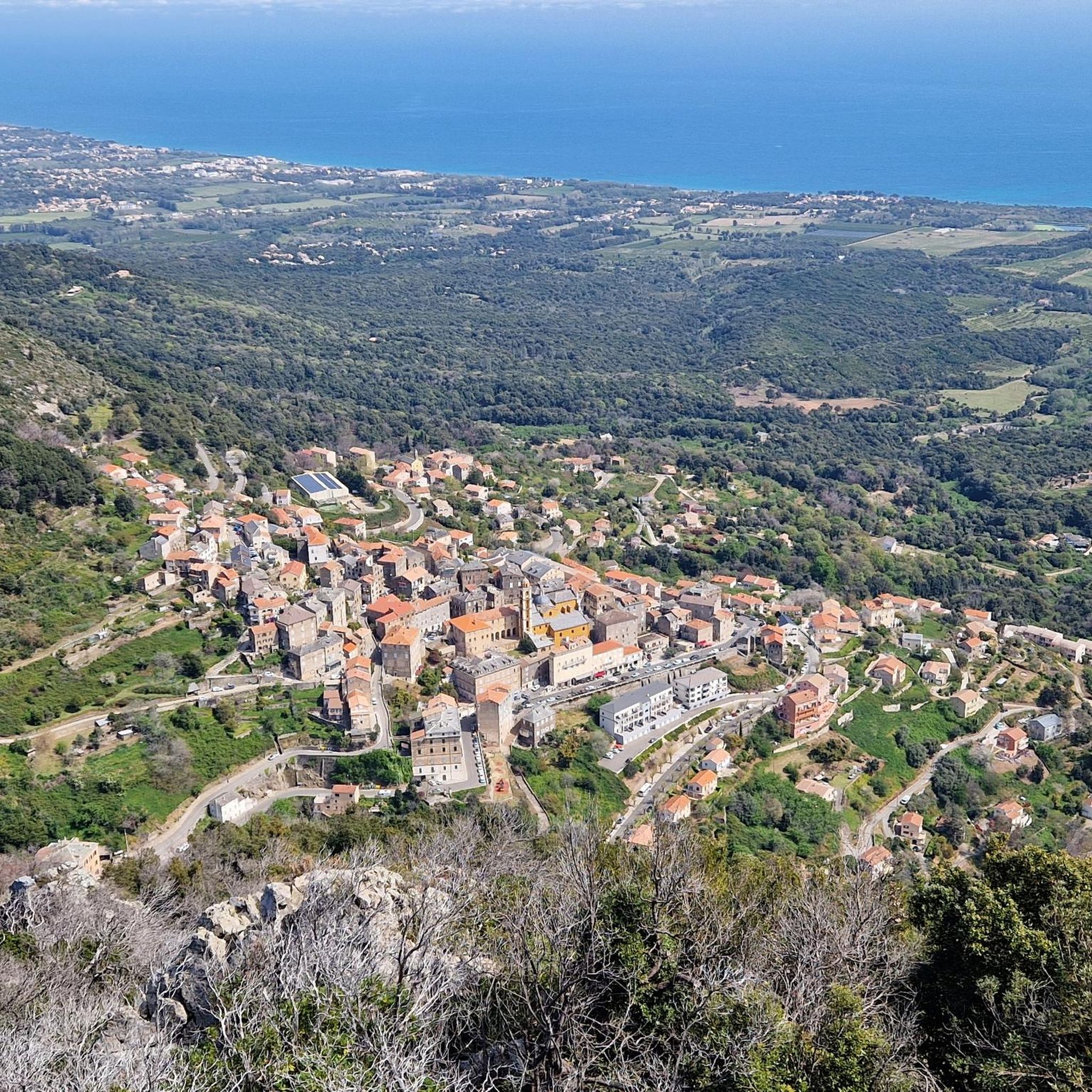
Santa-Maria-Poggio is a charming village in the Corsican foothills. At the foot of the mountains, it offers magnificent views of the coast.
0
0

Embark on an adventure on this 4.2km out and back trail near Cervione, Haute-Corse. The route is generally rated as moderate and can be completed in most areas in 2h 7m. This is a popular trail for birdwatching and walking, but you can also enjoy some solitude at quieter times of the day. The best time to go is March to November. Dogs are welcome and can be let off-leash in some areas.
1
0
Cervione, situated at over 300 m above sea level on the slopes of Monte Castello with great views, is a large and very lively place. There is always something going on, especially on the main road (Traversa) with its cafes and a few small shops. If you sit in front of one of the bars, you can see paragliders taking off from the Chapel of the Madonna and flying down into the plain when the weather is good. A short hike leads up to the striking viewpoint with the cross (632 m). It takes 1.5 hours there and back from the village center. A circular hike is also possible. Both are described in the hiking section. The view of the plain, the village of Cervione and the islands of Elba and Monte Cristo is beautiful!
1
0
Cervione, situated at over 300 m above sea level on the slopes of Monte Castello with great views, is a large and very lively place. There is always something going on, especially on the main road (Traversa) with its cafes and a few small shops. If you sit in front of one of the bars, you can see paragliders taking off from the Chapel of the Madonna and flying down into the plain when the weather is good. A short hike leads up to the striking viewpoint with the cross (632 m). It takes 1.5 hours there and back from the village center. A circular hike is also possible. Both are described in the hiking section. The view of the plain, the village of Cervione and the islands of Elba and Monte Cristo is beautiful!
2
0
Frequently Asked Questions
What types of landscapes can I expect to see while hiking in Valle-Di-Campoloro?
Valle-Di-Campoloro offers a diverse range of landscapes, from the Mediterranean coastline with its jagged cliffs and sheltered coves to rugged hills covered in fragrant maquis shrubland. Further inland, you'll find wooded hills that hint at the proximity of the Monte San Petrone massif, providing both sea vistas and elevated perspectives.
Are there any waterfalls or natural monuments to discover on the trails?
Yes, the area features notable natural attractions. You can hike to the Ucelluline Waterfall, which is part of the experience on routes like the Genoese bridge – Bucatoggio Waterfall loop from La roulotte. Another highlight is the Bucatoggio Waterfall. You might also encounter the Accumoli Spring.
How many hiking trails are available in Valle-Di-Campoloro?
There are over 10 hiking routes around Valle-Di-Campoloro, offering a variety of experiences from easy coastal walks to more challenging inland treks. These trails are highly rated by the komoot community.
Are there any easy, family-friendly hiking options?
Yes, there are several easy routes suitable for families. An example is the Plants at the harbor – Torre di Prunete loop from Carduselle, which is an easy 4.6-mile (7.3 km) trail offering coastal views and passing through Mediterranean vegetation.
Can I find circular hiking routes in Valle-Di-Campoloro?
Many of the trails in Valle-Di-Campoloro are designed as loops, allowing you to start and end at the same point. For instance, the Isolotto Trail – Genoese bridge loop from Dirudu offers a moderate 10.4-mile (16.7 km) circular route combining coastal and inland features.
What kind of views can I expect on the trails?
Hikers can enjoy dramatic panoramas where the blue waters of the Mediterranean meet a jagged coastline. Many trails offer expansive viewpoints, such as the Beautiful view below the Pointe de Sambuco, showcasing the island's natural beauty and providing great valley views, as seen on routes like the Great view of the valley – Cervione loop from La roulotte.
What do other hikers say about the trails in Valle-Di-Campoloro?
The trails in Valle-Di-Campoloro are highly rated by the komoot community, with an average score of 4.4 stars from over 1,600 reviews. Hikers often praise the diverse terrain, from coastal paths to inland routes, and the opportunities to discover natural features like waterfalls and historic bridges.
Are there any challenging hikes for experienced hikers?
Yes, for those seeking a more demanding experience, there are difficult routes available. An example is the Genoese bridge – Bucatoggio Waterfall loop from Taverna, a 22.7 km (14.1 miles) trail that includes significant elevation gain.
Are there opportunities for wild swimming near the hiking trails?
The region's coastline features crystal-clear bays and sheltered coves that are perfect for swimming, often accessible via coastal trails. Inland, you might also find spots like the Upper Swimming Pond.
What is the best time of year to go hiking in Valle-Di-Campoloro?
Valle-Di-Campoloro's Mediterranean climate makes it suitable for hiking for much of the year. Spring and autumn generally offer pleasant temperatures for exploring both coastal and inland trails. Summer can be warm, but coastal walks and early morning hikes are still enjoyable, often with the reward of a refreshing dip in the sea.
Are there any historical sites or structures along the hiking routes?
Yes, the area is rich in history. Many routes incorporate historical elements, such as the Genoese bridges. For example, the Genoese bridge – Bucatoggio Waterfall loop from La roulotte leads to a historic Genoese bridge, offering a glimpse into the region's past.
What kind of flora and fauna can I observe while hiking?
The region is characterized by its fragrant maquis shrubland, thick with wild thyme and rosemary, offering aromatic walks. You'll encounter diverse Mediterranean flora, and the area's natural beauty supports various local wildlife, particularly birds and insects.
Most popular routes around Valle-Di-Campoloro
Most popular attractions around Valle-Di-Campoloro

Get inspired with the komoot mobile app


Explore more
Browse the best Hikes in other regions.
