The best walks and hikes around Salmbach
4.5
(1066)
4,419
hikers
274
hikes
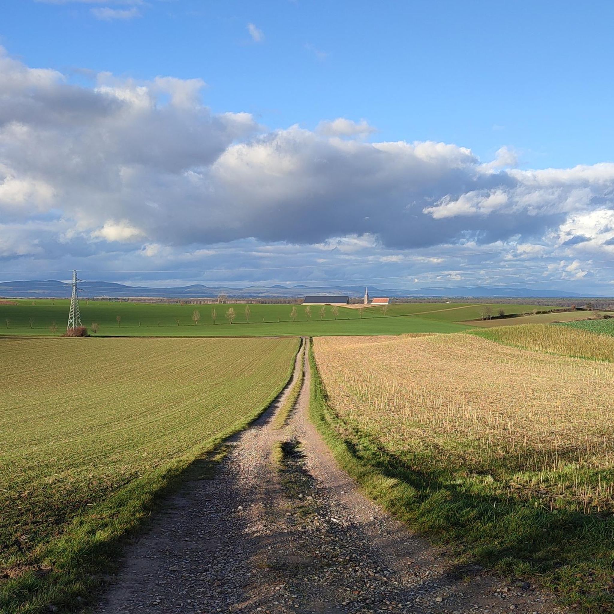
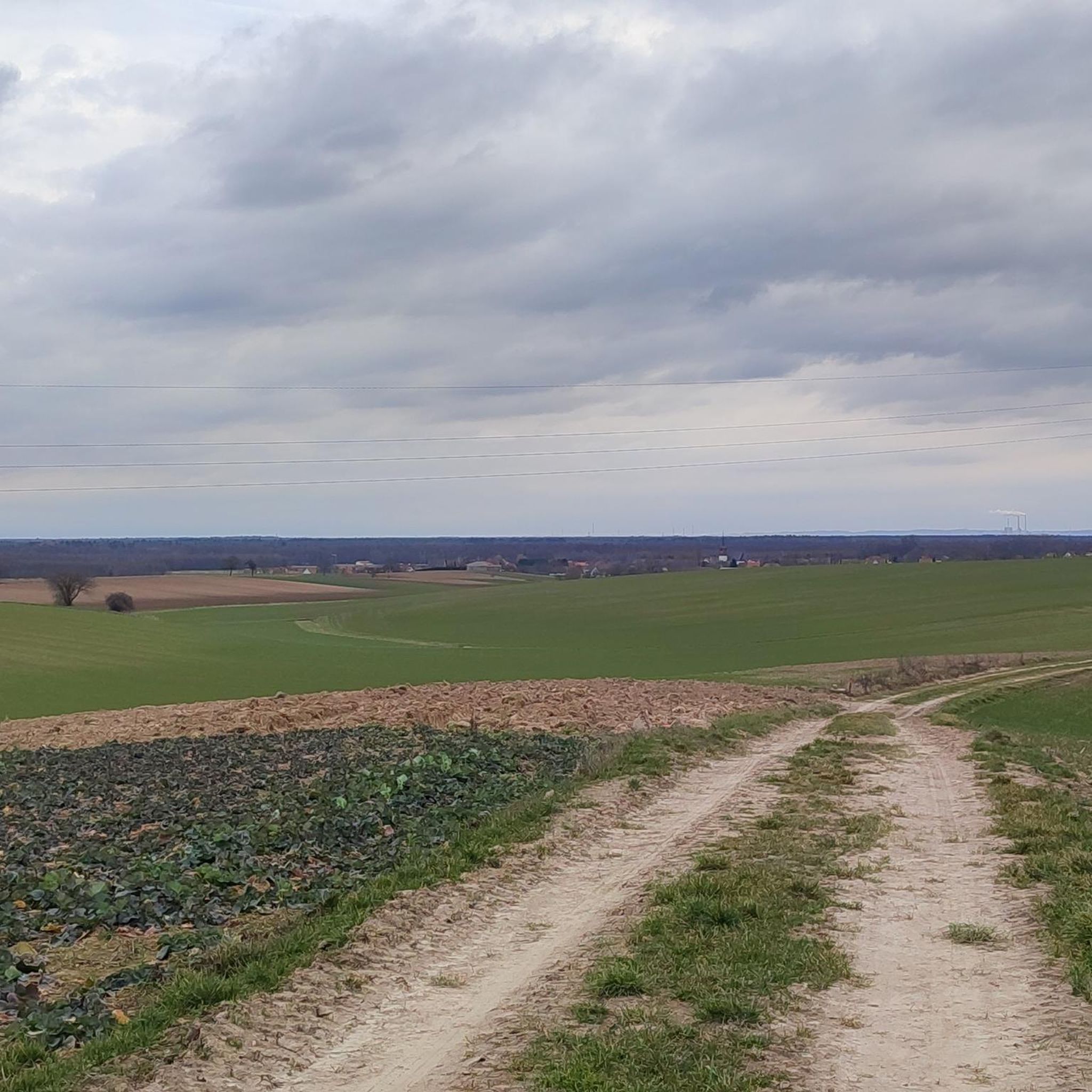
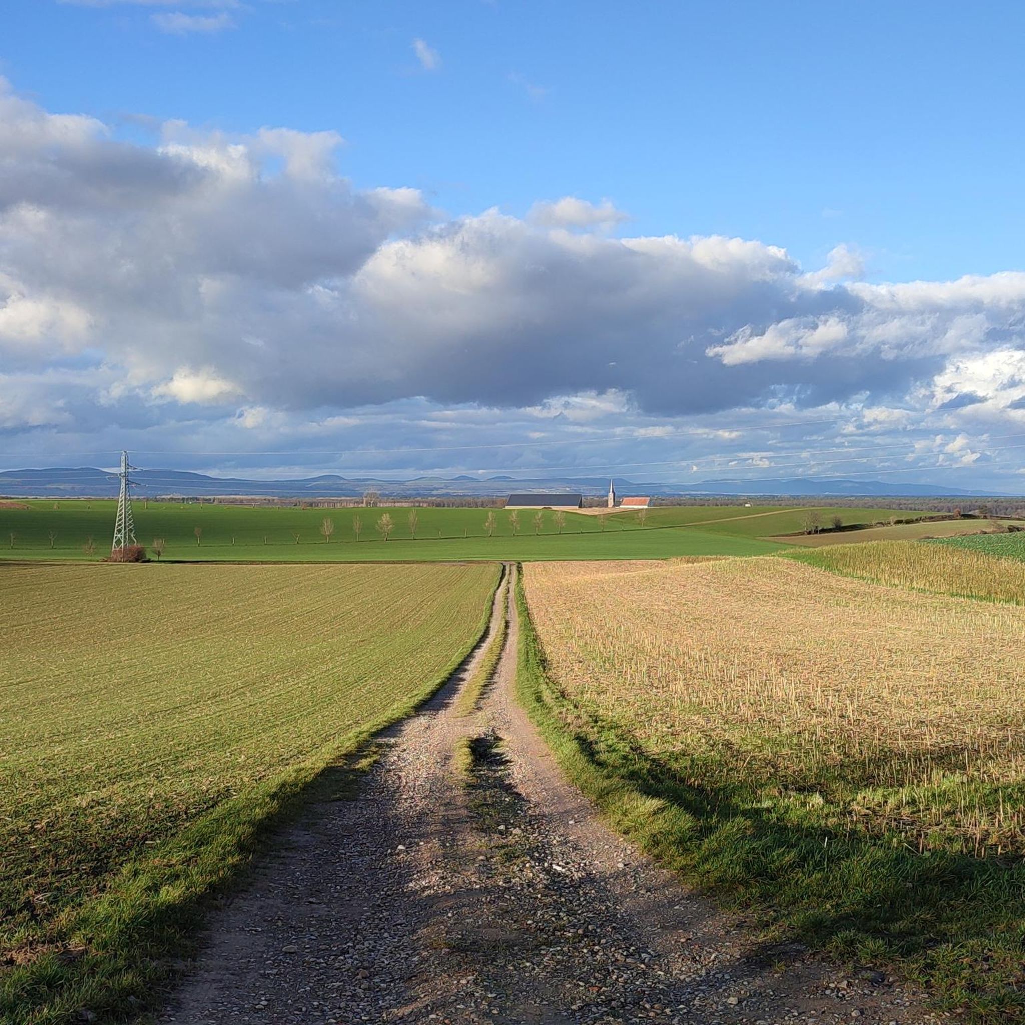
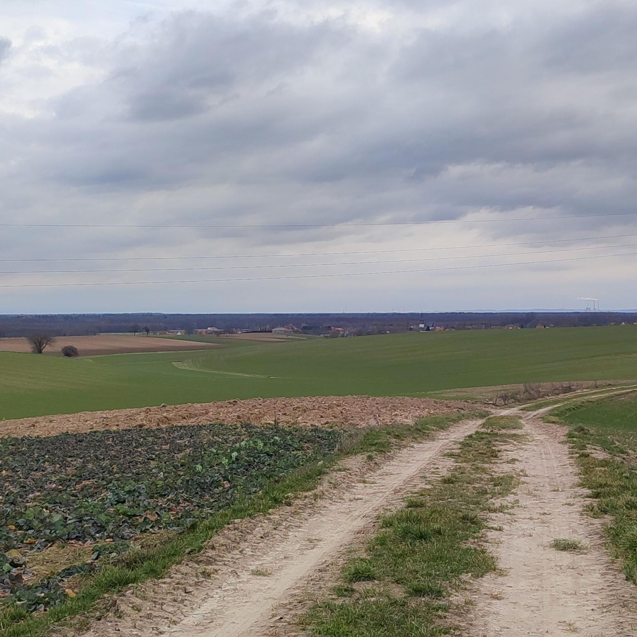
Hiking around Salmbach offers routes through a landscape characterized by extensive forests, gentle terrain, and historical boundary markers. The region features low elevation changes, making many trails accessible. Paths often follow forest edges and open areas, providing varied scenery.
Best hiking trails around Salmbach
- The most popular hiking route is Boundary stone – Bienwaldmühle loop from Schleithal, a 5.6 miles (9.1 km) trail that takes 2 hours 18 minutes to complete. This moderate route explores forest paths and historical…
Last updated: September 28, 2026
4.6
(40)
110
hikers
9.20km
02:20
30m
30m
Moderate hike. Good fitness required. Easily-accessible paths. Suitable for all skill levels.
3.0
(4)
34
hikers
18.3km
04:40
60m
60m
Moderate hike. Good fitness required. Easily-accessible paths. Suitable for all skill levels.

4.6
(8)
23
hikers
Easy hike. Great for any fitness level. Easily-accessible paths. Suitable for all skill levels.
6
hikers
7.13km
01:49
20m
20m
Easy hike. Great for any fitness level. Easily-accessible paths. Suitable for all skill levels.
4.0
(2)
16
hikers
9.29km
02:22
20m
20m
Moderate hike. Good fitness required. Easily-accessible paths. Suitable for all skill levels.
Get access to more routes and recommendations from other explorers.
Already have an account?
Our route recommendations are based on thousands of hikes, rides, and runs completed by other people on komoot.
Start today with a free account
Your next adventure awaits.

Tips from the Community

The Lauter Bridge is right next to it. The German text on the information board is somewhat misleading (20 km long bridge). Please compare it with the English or French text.
0
0
Here you can choose between a shorter or longer tour. The longest tour, the Rhineland-Palatinate Cycle Route, is a good 1000 km long. I speak from experience.
0
0
Unfortunately, the path on the German side is not worthy of being a cycle path.
0
0

This is the shelter at the forester's house near the Salmbacher Passage, which is a great way to get to France.
1
2

This neat shelter, which is also in the shade of a tree, is located directly on the road and still offers a very good view of the beautiful landscape and/or protection from the weather.
2
1

Shortly after the Bienwald Mill on the left side there is a small single trail through the middle of the forest. It is a little overgrown but rideable. It was definitely fun 😊
0
0
There was once a mill at the site near the Lauter, of which only the remains of the mill canal and the foundation walls can be seen. There was a castle a little further south: Trimmich was the eastern castle located in all directions of Weißenburg. There was also a mill there on the Lauter until German soldiers reduced the place to rubble in 1939. There is almost nothing left of either. But some foundation walls can be made out in the thicket.
4
0
The redoubt defended a long dam that closed off the valley and can still be seen upstream. This dam led to a second redoubt on the other side of the river. This defensive post bears the name of Marshal de Marein, who advocated for such a defensive structure in a treatise in May 1706. The background was the War of the Spanish Succession (1701 - 1714).
3
0
Frequently Asked Questions
How many hiking trails are available around Salmbach?
There are over 270 hiking trails around Salmbach, offering a wide range of options for different skill levels and preferences. The majority of these, about 180, are considered easy, with another 90 being moderate, and a few more challenging routes for experienced hikers.
Are there any easy or family-friendly hikes in Salmbach?
Yes, Salmbach offers numerous easy trails perfect for families or those seeking a relaxed stroll. For example, the Bienwaldmühle Inn – Bienwaldmühle loop from Lauterniederung is an easy 2-mile (3.3 km) route through forest and lowlands, taking about 50 minutes. Another great option is the Boundary stone loop from Schleithal, an easy 4.3-mile (7 km) path.
What kind of terrain can I expect on hikes around Salmbach?
The hiking trails around Salmbach are characterized by extensive forests and gentle, low-elevation terrain. Paths often follow forest edges and open areas, providing varied scenery. You'll find many routes on well-maintained forest paths, making for comfortable walking.
Are there any circular hiking routes in Salmbach?
Many of the trails in Salmbach are circular, allowing you to start and end at the same point. A popular moderate option is the Boundary stone – Bienwaldmühle loop from Schleithal, which is 5.6 miles (9.1 km) long and explores forest paths and historical boundary stones.
What are some interesting landmarks or attractions I can see while hiking?
While hiking around Salmbach, you can encounter historical boundary markers and earthworks, such as those found on the Boundary stone – Schanze de la Ziegelhütte loop from Salmbach. Additionally, the region features several huts and picnic shelters like the Steigert Hut or the Grill Hut Büchelberg, which are great for a break. You might also find yourself near the Mundatweiher lake.
Is Salmbach a good place for dog-friendly walks?
Given the extensive forest paths and gentle terrain, Salmbach is generally very suitable for dog-friendly walks. Many trails offer natural surroundings where dogs can enjoy the outdoors. Always remember to keep your dog on a leash where required and clean up after them.
What do other hikers enjoy most about the trails in Salmbach?
The trails in Salmbach are highly rated by the komoot community, with an average score of 4.5 stars from over 800 reviews. Hikers frequently praise the quiet woodlands, the well-maintained paths, and the historical elements like boundary stones that add interest to the routes.
Are there any hikes that include a place to eat or drink?
While specific pubs directly on every trail are not guaranteed, the region does have options. For instance, the Bienwaldmühle Inn – Bienwaldmühle loop from Lauterniederung starts near the Bienwaldmühle Inn, offering a potential stop for refreshments before or after your hike. Many of the huts and shelters, like the Himmelreich Grill Hut, are also great spots for a picnic.
What is the best time of year to go hiking in Salmbach?
The gentle terrain and extensive forests make Salmbach a pleasant hiking destination for much of the year. Spring and autumn offer beautiful foliage and comfortable temperatures. Summer is also enjoyable, with the tree cover providing shade. Even in winter, many trails remain accessible for a peaceful walk, though conditions can vary.
Where can I find parking for hiking trails in Salmbach?
Parking is generally available at the start points of many popular trails and near villages in the Salmbach area. Specific parking information is often provided on individual route pages on komoot, or can be found by checking local signage upon arrival.
Are there any longer, moderate hikes for more experienced hikers?
Yes, for those looking for a longer excursion, the Boundary stone – Schanze de la Ziegelhütte loop from Salmbach is a moderate 11.4-mile (18.3 km) path that traverses forested areas and includes historical earthworks. Another moderate option is the Bienwaldmühle – Boundary stone loop from Lauterniederung, which is 5.8 miles (9.3 km) long.
Most popular attractions around Salmbach

Get inspired with the komoot mobile app


Explore more
Browse the best Hikes in other regions.
