The best walks and hikes around Albesdorf
4.5
(392)
1,392
hikers
57
hikes
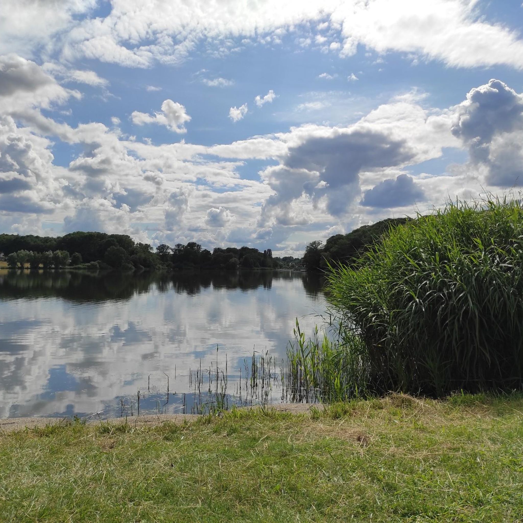
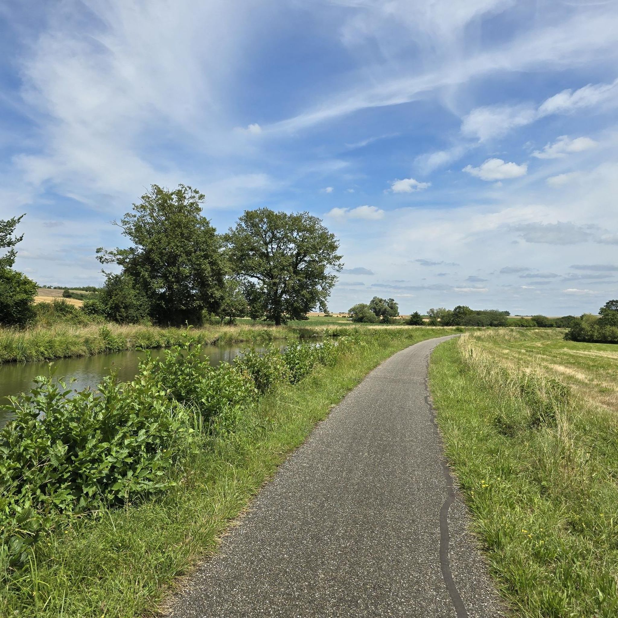
Hiking around Albesdorf offers a variety of routes through a landscape characterized by canals, ponds, and agricultural areas. The terrain generally features gentle elevation changes, with some routes passing through open fields and near water bodies. Hikers can expect paths that explore local farmlands and offer occasional viewpoints.
Best hiking trails around Albesdorf
- The most popular hiking route is Canal next to the campsite – Old oak loop from Altwiller, a 11.1 miles (17.9 km) trail that takes 4…
Last updated: November 5, 2026
5.0
(3)
12
hikers
17.9km
04:41
140m
140m
Moderate hike. Good fitness required. Easily walkable paths.
4.8
(5)
18
hikers
10.9km
02:53
100m
100m
Moderate hike. Good fitness required. Easily walkable paths.

4.8
(5)
16
hikers
13.0km
03:26
120m
120m
Moderate hike. Good fitness required. Easily walkable paths.
4
hikers
12.8km
03:19
80m
80m
Moderate hike. Good fitness required. Easily walkable paths.
4
hikers
6.90km
01:49
60m
60m
Easy hike. Easily walkable paths.
Get access to more routes and recommendations from other explorers.
Already have an account?
Our route recommendations are based on thousands of hikes, rides, and runs completed by other people on komoot.
Start today with a free account
Your next adventure awaits.

Tips from the Community

When I passed the ordeal was no longer there 🤷🏻♀️
1
0

A very beautiful sandstone cross from the 17th century.
1
0

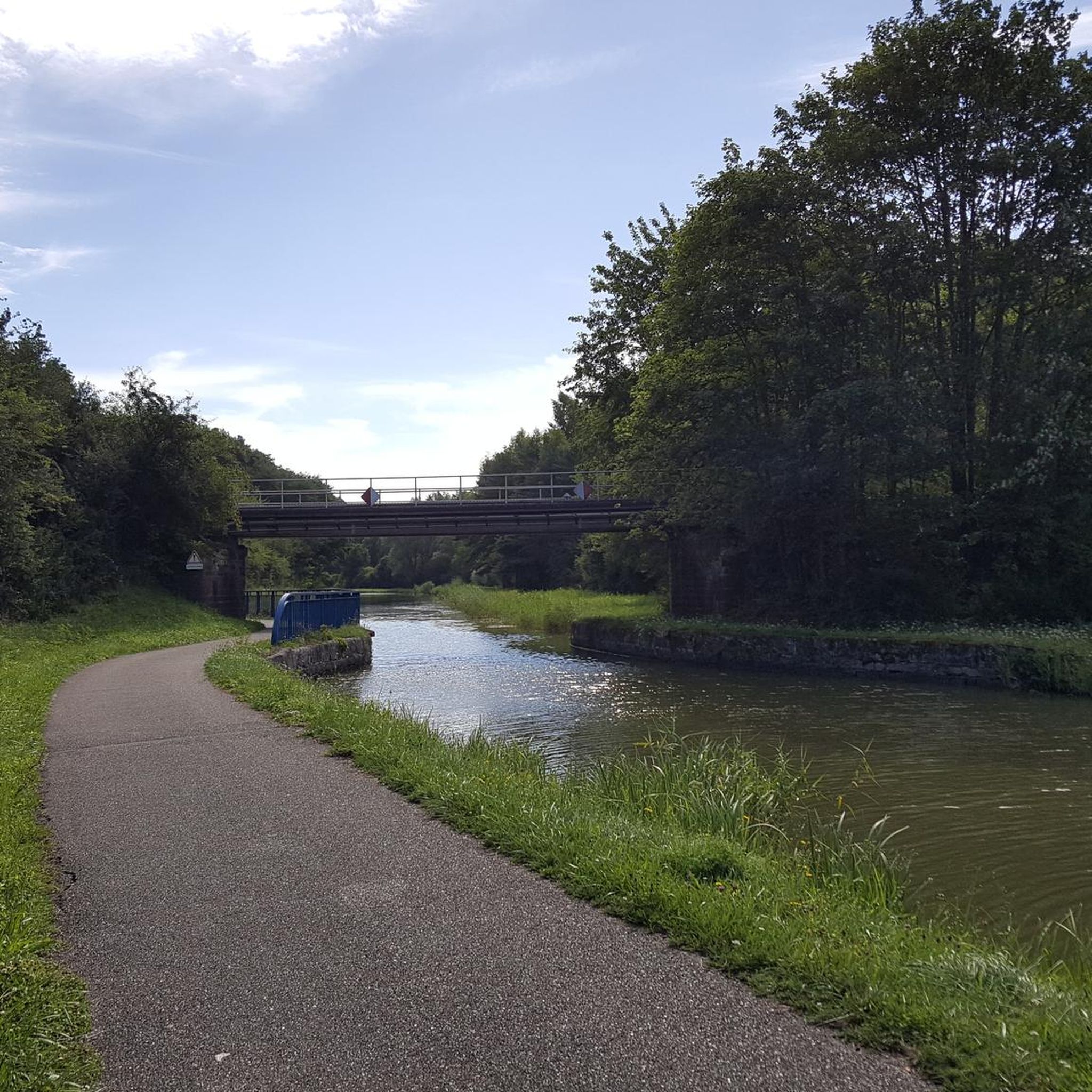
Great cycle path along the Saar Canal.
2
0

The cycle path stretches from Sarreguemines to Gondrexange.
0
0
Beautiful little metal figures along the roadside.
1
0

“Each of these crosses can tell its own story and what motivated people to erect “their” cross at this spot. (...) These wayside crosses were erected as visible signs and attract the attention of many people. The cross is a symbol of life. It stands as a sign of our Christian hope and aims to direct our gaze to Jesus Christ, who has overcome death (...). The cross is part of our lives, just as it was part of the life of Jesus. So I hope that many people ... will visit the wayside crosses, whether as places of silence and breathing before God, whether as places of community gathering, prayer and praise of God.” (Text source: Dean Rainald M. Ollig in: “Wayside crosses... small sacred monuments as signs of popular piety”)
1
1


In 1621, Duke Heinrich II granted market rights to Isming, but the town then suffered during the Thirty Years' War. During the war, an officer saved the city archives in the town hall tower via an underground passage and was able to hold the town for a long time, but then it was also depopulated and the town hall was destroyed. In 1664 there were only 80 households. This cross was erected in front of the south-west entrance to Albestroff, where the old chapel destroyed by the Swedes is said to have stood.
5
0
Frequently Asked Questions
How many hiking trails are there in Albesdorf?
There are over 50 hiking trails available around Albesdorf, offering a diverse range of options for different skill levels.
Are there easy hiking trails suitable for beginners in Albesdorf?
Yes, Albesdorf offers a good selection of easy trails. You can find around 20 routes categorized as easy, which are perfect for beginners or those looking for a relaxed walk through the local landscape of canals and farmlands.
Can I find circular hiking routes around Albesdorf?
Many of the trails in Albesdorf are designed as loops, allowing you to start and end at the same point. For example, the Farms loop from Le Val-de-Guéblange is a moderate 5.6-mile (9 km) circular route that explores the agricultural areas.
Are the hiking trails in Albesdorf suitable for families with children?
Yes, the generally gentle terrain and numerous easy routes make Albesdorf suitable for families. Many paths follow canals or pass by ponds, offering interesting sights for children. Look for the 'easy' rated trails for the most family-friendly options.
Are dogs allowed on the hiking trails in Albesdorf?
Most hiking trails in the Albesdorf region are dog-friendly, especially those through open fields and along canals. It's always recommended to keep your dog on a leash, particularly near agricultural areas or wildlife, and to respect local signage.
What kind of views can I expect on hikes around Albesdorf?
Hikes around Albesdorf offer views primarily of canals, ponds, and expansive agricultural landscapes. Some routes, like the Orientation Table Viewpoint loop from Montdidier, lead to elevated points providing broader vistas over the surrounding countryside.
Are there any interesting natural attractions or landmarks to see while hiking?
Yes, the region is characterized by its waterways and natural features. You can explore the Grand Pond of Mittersheim, walk alongside the Canal des Houillères de la Sarre, or discover the tranquil Marsh Pond. These water bodies are central to the area's landscape.
What is the best time of year to go hiking in Albesdorf?
Spring and autumn are generally the best times for hiking in Albesdorf, offering pleasant temperatures and beautiful scenery as the agricultural fields change colors. Summer can also be enjoyable, especially along the shaded canal paths, but be prepared for warmer weather.
Where can I find parking for hiking trails in Albesdorf?
Parking is typically available near trailheads in Albesdorf, especially in or near the villages where routes often begin. Specific parking information can usually be found on individual route descriptions on komoot.
Is it possible to reach hiking trails in Albesdorf using public transport?
While Albesdorf is a rural area, some villages that serve as starting points for hikes may have limited public transport connections. It's advisable to check local bus schedules for specific routes and destinations before planning your trip.
What do other hikers say about the trails in Albesdorf?
The hiking trails in Albesdorf are highly rated by the komoot community, with an average score of 4.6 stars from over 300 reviews. Hikers often praise the peaceful atmosphere, the well-maintained paths along canals, and the gentle, accessible terrain.
Are there any longer, more challenging hikes available in Albesdorf?
While most trails are easy to moderate, there are options for longer distances. For instance, the Metal art – Orientation Table Viewpoint loop from Léning is a moderate 8-mile (13 km) route that offers a good distance challenge while exploring varied terrain.
Most popular routes around Albesdorf
Most popular attractions around Albesdorf

Get inspired with the komoot mobile app


Explore more
Browse the best Hikes in other regions.
