The best walks and hikes around Geisweiler
4.3
(509)
2,579
hikers
155
hikes
Hiking around Geisweiler offers trails within the Parc naturel régional des Vosges, characterized by natural, forested, and hilly landscapes. The region features geological formations and areas like Bastberg, providing varied terrain for outdoor activities. These hiking trails around Geisweiler are primarily located in the Alsace region of France, near towns such as Bouxwiller and Imbsheim.
Best hiking trails around Geisweiler
- The most popular hiking route is Geological trail of Bastberg — loop from Bouxwiller, a 3.2 miles (5.2 km)…
Last updated: October 22, 2026
4.7
(21)
100
hikers
5.24km
01:27
90m
90m
Easy hike. Easily walkable paths.
4.8
(17)
73
hikers
4.94km
01:21
80m
80m
Easy hike. Easily walkable paths.

5.0
(2)
16
hikers
5.19km
01:25
80m
80m
Easy hike. Easily walkable paths.
4.8
(5)
23
hikers
3.46km
00:57
60m
60m
Easy hike. Easily walkable paths.
6
hikers
11.2km
03:01
150m
150m
Moderate hike. Good fitness required. Easily walkable paths.
Get access to more routes and recommendations from other explorers.
Already have an account?
Our route recommendations are based on thousands of hikes, rides, and runs completed by other people on komoot.
Start today with a free account
Your next adventure awaits.


Tips from the Community

A great destination for a short hike or a mountain bike tour. There are several information boards in the area with all sorts of details. 👍
1
0
This is one of the possible starting points for a hike to or around the Bastberg.
1
0

Kirrwiller is an Alsatian village in the Rhine Valley, in the Grand-Est region, about 35 km northwest of Strasbourg. Situated on the edge of the Northern Vosges Regional Nature Park, the village has approximately 540 inhabitants, and its location in the Rhine Valley offers ideal conditions for agriculture. The village center, with its old traditional houses, has a certain charm. The village also has two religious buildings, a Protestant and a Catholic church. The Protestant Church of Saint-Remi dates back to the late 18th century. Construction of the new Catholic church, built in the late Gothic style and dedicated to Saint Martin, began in 1911.
3
0

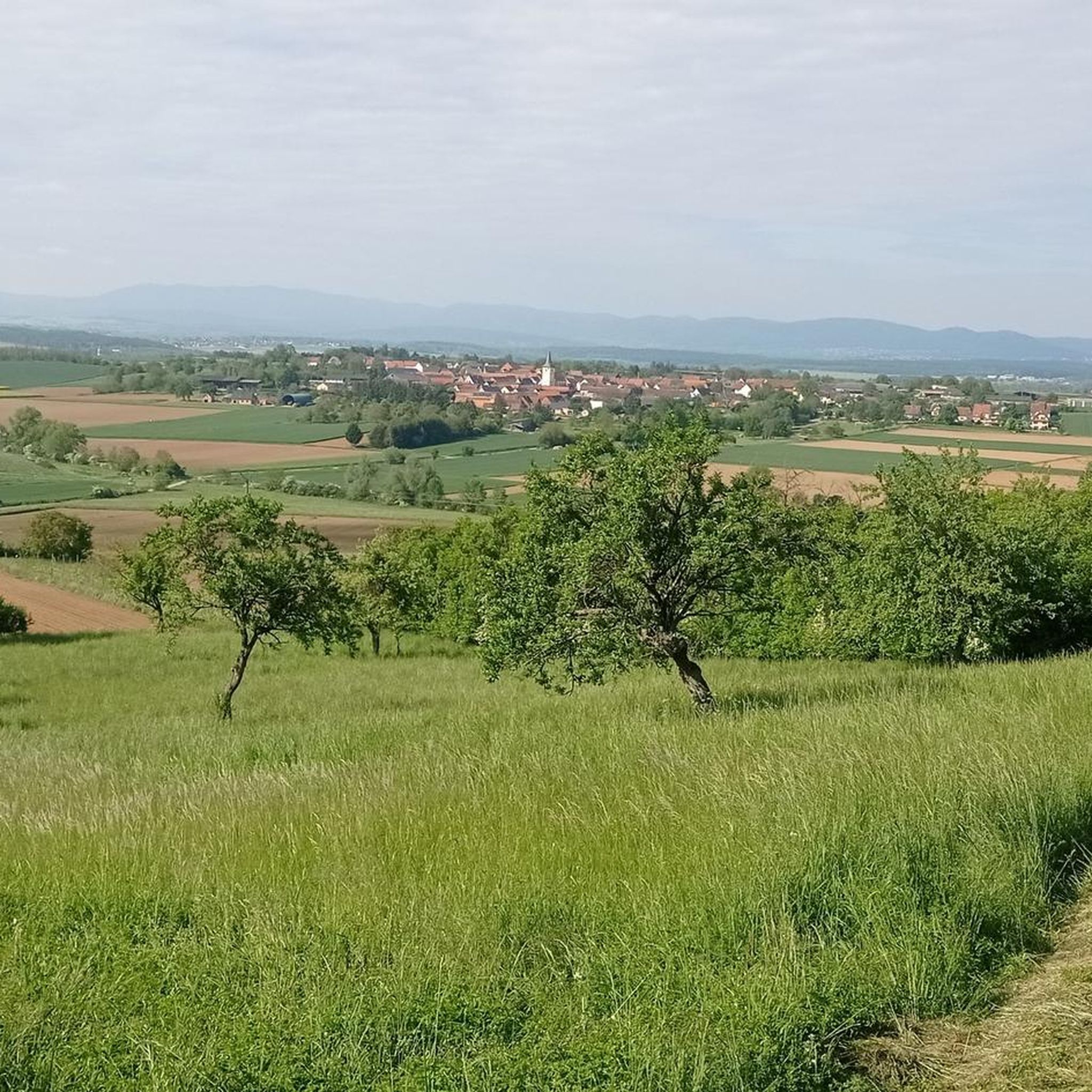
Tour leads through meadow orchards...
0
0

The witches from the neighboring Bastberg were probably once hanged here. No view because wooded beautiful trails.
1
0
Was probably a meeting place for witches in the past - they were probably hanged up shortly afterwards on the neighboring Galgenberg. Today a mighty summit cross is supposed to keep away all sorts of occult things.
1
0
The small mountain is wooded - so no view - but beautiful trails. I derive the former use of the hill from the name.
1
0
Once a meeting point for witches - today a mighty summit cross is supposed to keep everything occult away.
3
0
Frequently Asked Questions
What kind of terrain can I expect on hikes around Geisweiler?
Hiking around Geisweiler, located within the Parc naturel régional des Vosges, features natural, forested, and hilly landscapes. You'll encounter varied terrain, including geological formations around areas like Bastberg, offering a mix of paths through woodlands and open areas.
Are there many easy hiking trails suitable for beginners in Geisweiler?
Yes, Geisweiler offers a good selection of easy routes. Out of over 150 trails, more than 60 are classified as easy, making it a great destination for beginners or those looking for a relaxed walk. An example is the Geological trail of Bastberg — loop from Bouxwiller, which is an easy 3.2-mile loop.
What do other hikers enjoy most about the trails in Geisweiler?
The trails in Geisweiler are highly rated by the komoot community, with an average score of 4.4 stars from over 400 reviews. Hikers often praise the quiet woodlands, the varied terrain, and the well-maintained paths that explore the region's geological features and scenic hills.
Are there any circular hiking routes around Geisweiler?
Yes, many of the trails around Geisweiler are circular routes, perfect for exploring without retracing your steps. Popular options include the Bastberg Summit Cross – Gallows Hill loop from Bouxwiller and the Gallows Hill – Bastberg Summit Cross loop from Imbsheim, both offering pleasant loops through forested hills.
What are some interesting landmarks or attractions to see near the hiking trails?
While hiking around Geisweiler, you can explore several interesting nearby attractions. These include historical sites like the Saint Peter and Saint Paul Abbey Church and the Saint Adelphe Church — Neuwiller-lès-Saverne. You might also visit the historic Warthenberg Castle or the unique Villa Meteor.
Are the hiking trails around Geisweiler suitable for families with children?
Yes, many trails in Geisweiler are suitable for families. The region offers numerous easy and moderate routes with manageable distances and elevation changes, making them enjoyable for various ages. The forested paths and geological features provide an engaging environment for children to explore.
What is the typical duration for a hike in Geisweiler?
Hike durations vary, but many of the popular routes around Geisweiler can be completed in a few hours. For example, the Geological trail of Bastberg — loop from Bouxwiller typically takes about 1 hour 26 minutes, while the Bastberg Summit Cross – Salon de the loop from Bouxwiller is a longer, moderate option taking around 2 hours 50 minutes.
Is it possible to find less crowded hiking options in Geisweiler?
With over 150 routes available, it's possible to find quieter trails, especially outside of peak times or by exploring some of the less-trafficked paths. While some popular loops around Bastberg can see more visitors, the extensive network allows for discovering more secluded sections within the Parc naturel régional des Vosges.
What is the best time of year to go hiking in Geisweiler?
The region's forested and hilly landscapes are beautiful throughout much of the year. Spring and autumn offer pleasant temperatures and vibrant scenery, with spring bringing fresh greenery and autumn showcasing colorful foliage. Summer is also popular, though some trails might be busier. Winter hiking is possible, but conditions can vary, so checking local weather is advisable.
Are there any moderate difficulty hikes for those looking for more of a challenge?
Yes, Geisweiler offers a good selection of moderate trails for hikers seeking a bit more challenge. There are 76 routes classified as moderate. An example is the Bastberg Summit Cross – Salon de the loop from Bouxwiller, which covers over 10 kilometers with more elevation gain than the easier loops.
Where can I find parking near the trailheads in Geisweiler?
Many trailheads in the Geisweiler area, particularly those starting from towns like Bouxwiller and Imbsheim, offer designated parking facilities. It's always recommended to check specific route details on komoot for information on parking availability at the starting point of your chosen hike.
Most popular routes around Geisweiler
Most popular attractions around Geisweiler

Get inspired with the komoot mobile app


Explore more
Browse the best Hikes in other regions.
