The best MTB trails around Oberlauterbach
4.3
(172)
566
riders
96
rides
Mountain biking around Oberlauterbach features a landscape characterized by gentle river valleys, such as along the Rhine and Lauter, and extends into forested areas with rolling terrain. The region offers a mix of flat riverside paths and routes with moderate elevation changes, providing diverse riding experiences. Many routes offer scenic viewpoints overlooking the surrounding countryside and towards the Vosges mountains. The area is well-suited for exploring by mountain bike, with a network of trails for various skill levels.
Best mountain…
Last updated: May 13, 2026
4.4
(5)
36
riders
34.4km
01:49
90m
90m
Easy mountain bike ride. Great for any fitness level. Suitable for all skill levels.
3.0
(1)
12
riders
Easy mountain bike ride. Great for any fitness level. Suitable for all skill levels.

Sign up for free
4.4
(21)
10
riders
40.5km
03:06
550m
550m
Moderate mountain bike ride. Good fitness required. Suitable for all skill levels.
4
riders
30.1km
01:42
150m
150m
Moderate mountain bike ride. Great for any fitness level. Advanced riding skills necessary.
12
riders
Easy mountain bike ride. Great for any fitness level. Suitable for all skill levels.
Get access to more routes and recommendations from other explorers.
Sign up for free
Already have an account?
Our route recommendations are based on thousands of hikes, rides, and runs completed by other people on komoot.
Start today with a free account
Your next adventure awaits.
Login or Signup
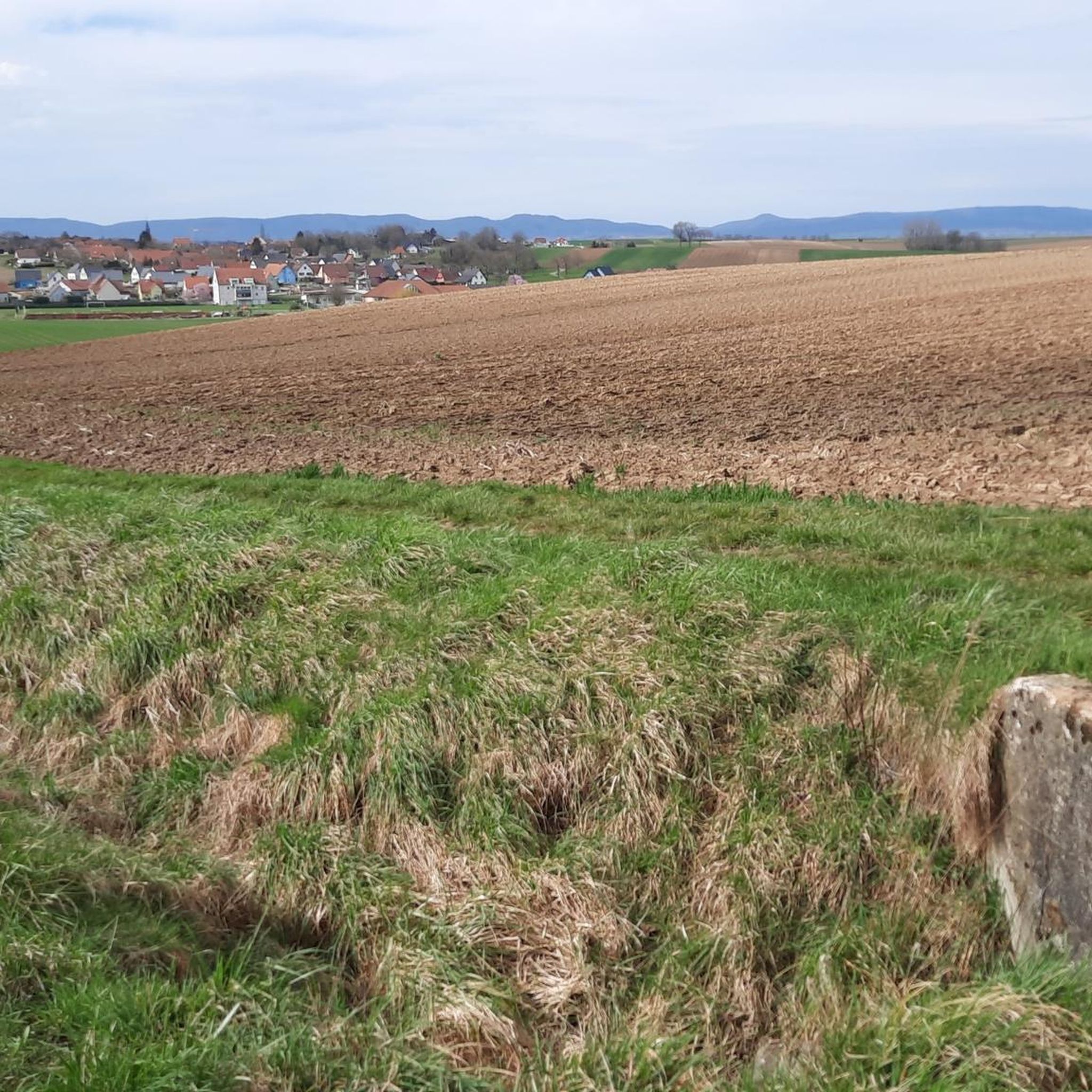
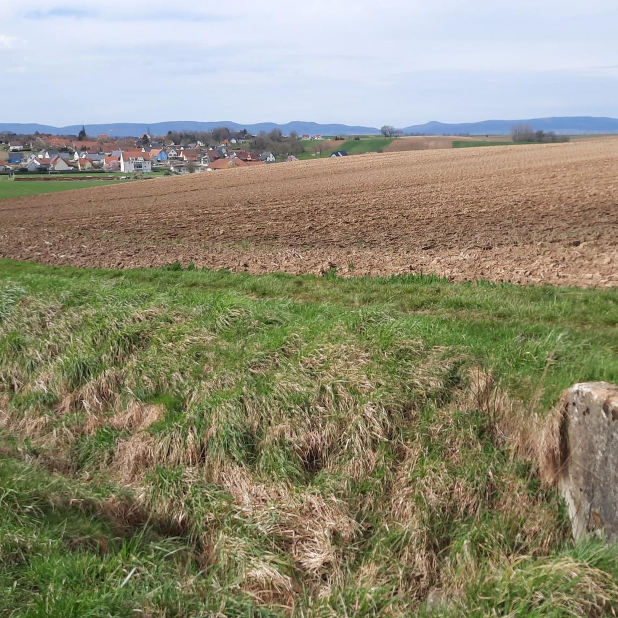
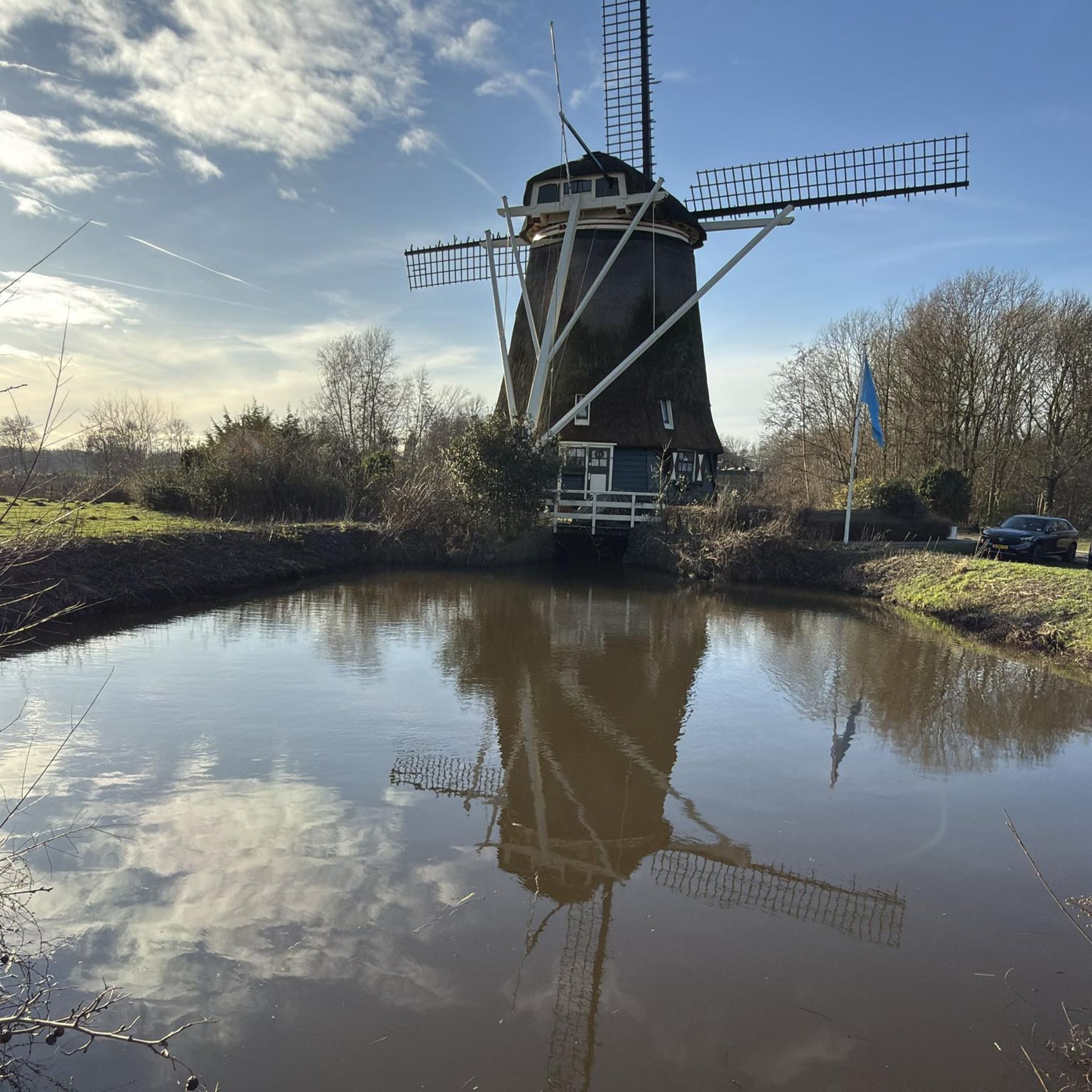
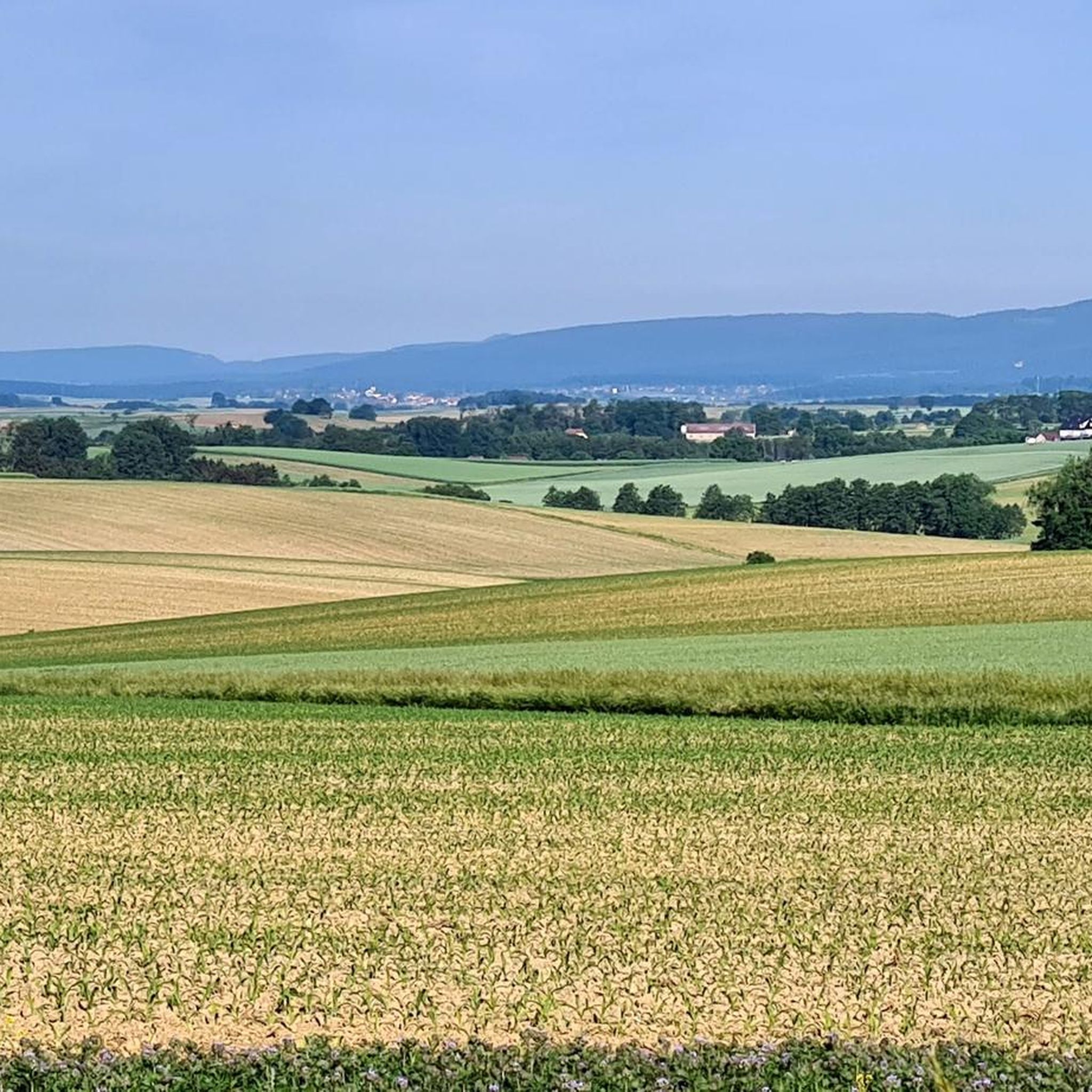
Tips from the Community

The Sauer is a tributary of the Rhine, approximately 70 km long. It originates in the Palatinate Forest near the Franco-German border. On its course, it flows through the Northern Vosges and partly forms the border between Germany and France. It then crosses Alsace before flowing into the Rhine near Munchhausen. The Sauer has a catchment area of about 800 km² and an average discharge of around 6 m³ per second.
0
0

Historic border house in Scheibenhart.
0
0
The majestic church dominates the town of Lauterbourg. Worth seeing are the medieval bell tower, the Gothic choir - which dates from the mid-15th century.
0
0


A city definitely worth seeing, with well-developed cycle paths all around.
1
0
Beautifully designed border crossing
0
0
Cozy shady spot. Ideal for a short break
0
0

Frequently Asked Questions
How many mountain bike trails are there in Oberlauterbach?
There are over 90 mountain bike trails around Oberlauterbach, offering a wide range of options for different skill levels and preferences. The komoot community has explored these routes over 650 times.
Are there easy mountain bike trails suitable for beginners in Oberlauterbach?
Yes, Oberlauterbach offers a good selection of easy mountain bike trails. There are 24 easy routes available, perfect for those new to mountain biking or looking for a relaxed ride. An example is the Bienwaldmühle – Rathaus Wissembourg loop from Niederlauterbach, which is 21.4 miles (34.4 km) long and takes about 1 hour 48 minutes.
Are there challenging mountain bike trails for experienced riders in Oberlauterbach?
While the region is known for its gentle river valleys and rolling terrain, there are 66 moderate trails and 1 difficult trail for more experienced riders. These routes often feature more significant elevation changes and longer distances, such as the Col du Pigeonnier – Old Mill on the Lauter loop from Schleithal, a 25.2 miles (40.5 km) moderate trail.
What are the typical lengths of mountain bike trails in Oberlauterbach?
The mountain bike trails in Oberlauterbach vary in length. Many popular routes range from approximately 18 to 25 miles (29 to 40 km). For instance, the View of Neuburg am Rhein – Rhine Riverside Path loop from Salmbach is 22.2 miles (35.8 km) long.
Are there any loop mountain bike trails around Oberlauterbach?
Many of the mountain bike trails in Oberlauterbach are designed as loops, allowing you to start and finish at the same point. Examples include the Dam bicycle path – Münchhausen Memorial loop from Salmbach and the Ligne de la Lauter Trail – View of the Vosges loop from Niederlauterbach.
What is the best time of year for mountain biking in Oberlauterbach?
The region's landscape, characterized by gentle river valleys and forested areas, makes it enjoyable for mountain biking from spring through autumn. These seasons typically offer pleasant weather and good trail conditions for exploring the diverse terrain.
What do other mountain bikers enjoy most about mountain biking in Oberlauterbach?
The mountain bike trails in Oberlauterbach are highly rated by the komoot community, with an average score of 4.2 stars from over 180 reviews. Riders often praise the scenic viewpoints overlooking the surrounding countryside and towards the Vosges mountains, as well as the diverse riding experiences offered by the mix of flat riverside paths and routes with moderate elevation changes.
Are there mountain bike trails with scenic viewpoints in Oberlauterbach?
Yes, many routes in Oberlauterbach offer scenic viewpoints. The region's terrain provides opportunities for expansive views of the Rhine and its surrounding landscape, as well as vistas towards the Vosges mountains, as highlighted in routes like the View of Neuburg am Rhein – Rhine Riverside Path loop from Salmbach.
What interesting places can I explore near the mountain bike trails in Oberlauterbach?
While mountain biking, you can explore several interesting attractions nearby. These include natural areas like the Sauer Delta Nature Reserve, or man-made structures such as the Seltz–Plittersdorf Cable Ferry. You might also encounter parts of the Pamina Cycle Path.
Are there any lakes or water bodies accessible from the mountain bike trails?
Yes, the region around Oberlauterbach features several lakes and water bodies. You can find highlights like the South Shore of Goldkanal, Goldkanal Beach, and Mundatweiher, which are part of the broader network of attractions in the area.
Are the mountain bike trails in Oberlauterbach generally well-maintained?
The komoot community's high ratings and frequent use of the trails suggest that the network is well-regarded. The region's focus on outdoor activities implies that trails are generally maintained to provide a good riding experience through river valleys and forested sections.
Most popular routes around Oberlauterbach
Most popular attractions around Oberlauterbach

Get inspired with the komoot mobile app


Explore more
Browse the best MTB trails in other regions.
