The best MTB trails around Niederlauterbach
4.6
(276)
841
riders
135
rides
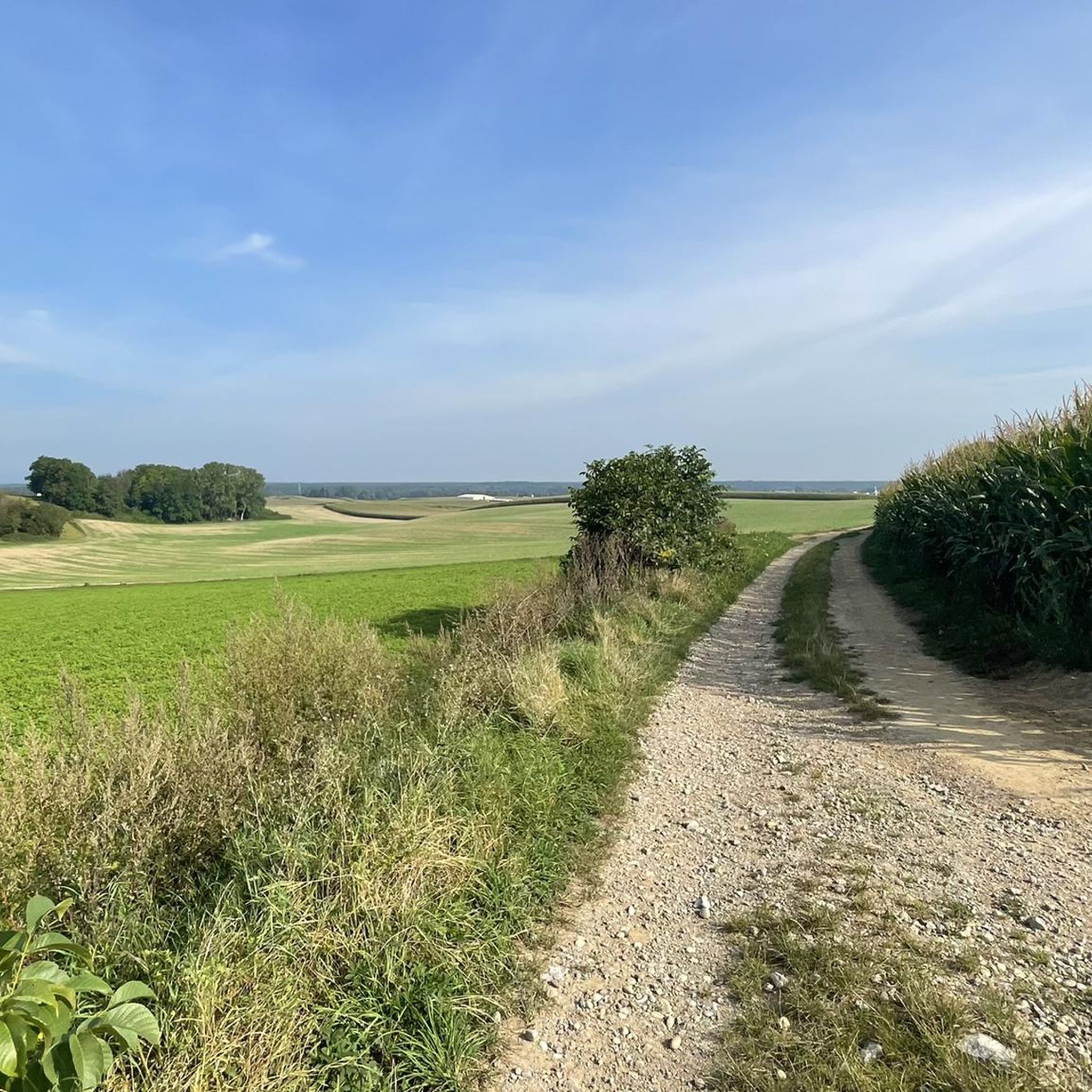
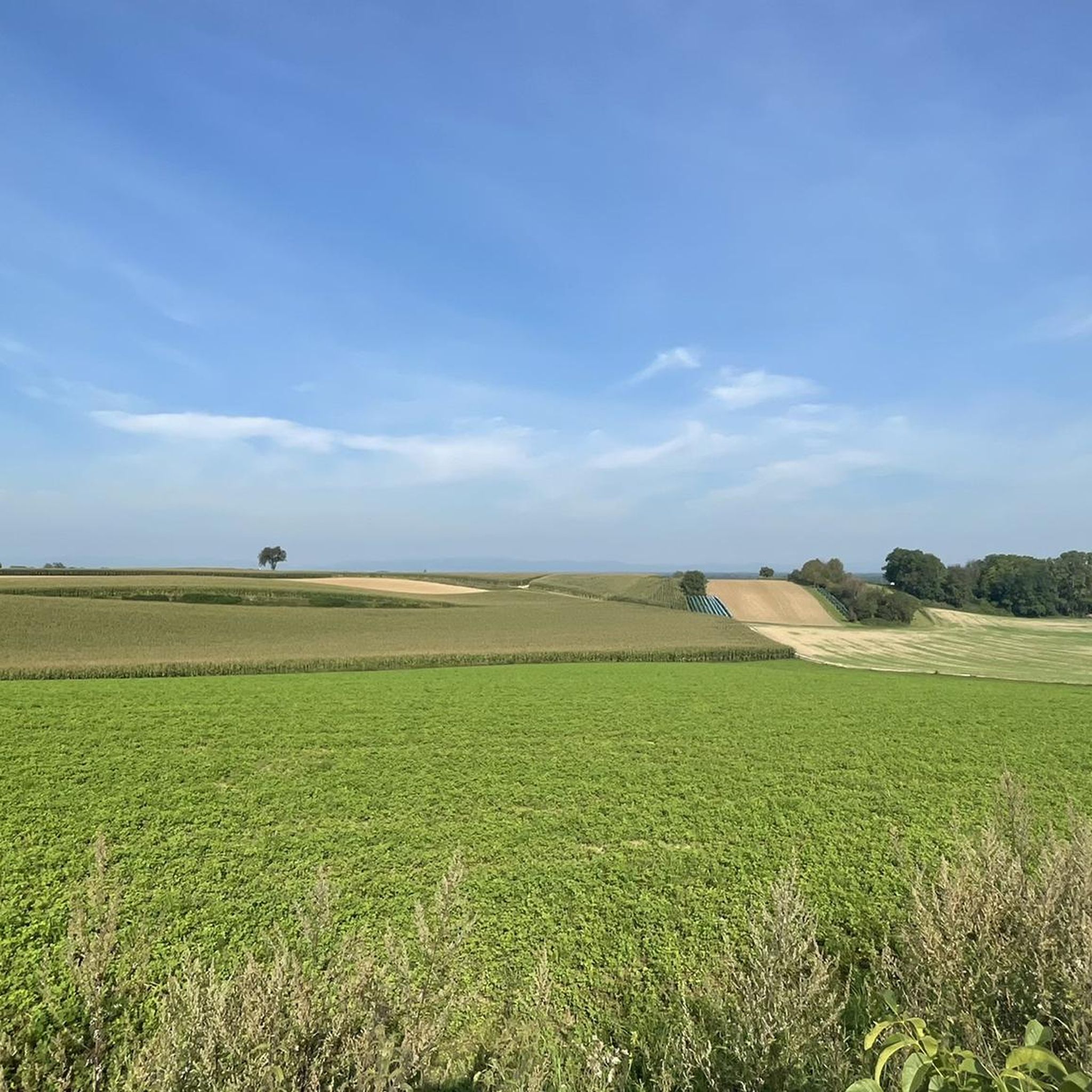
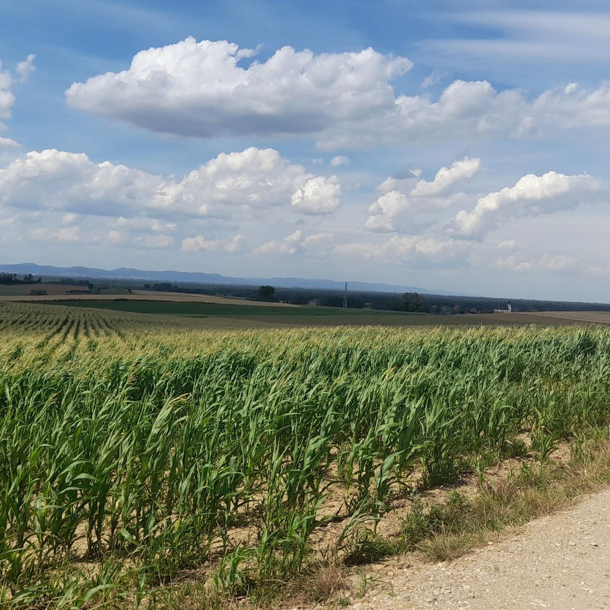
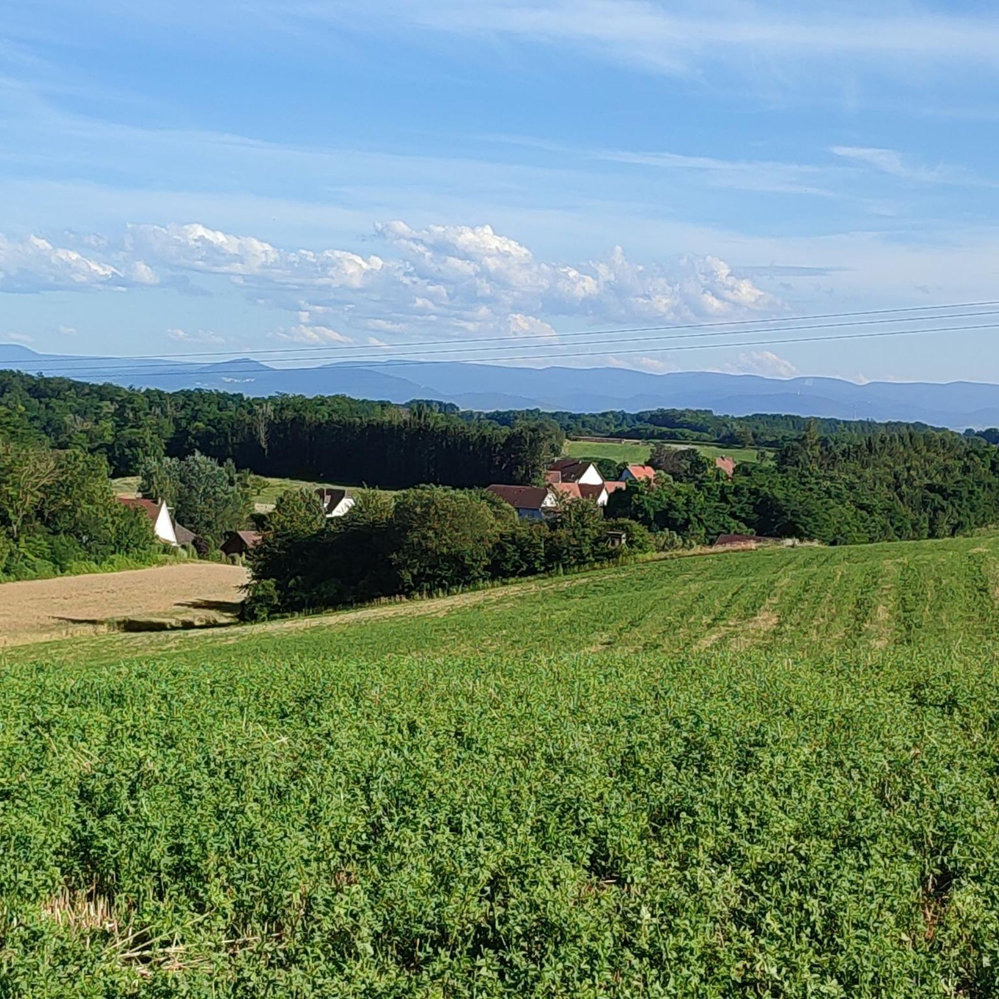
Mountain bike trails around Niederlauterbach feature a diverse landscape, encompassing local communal forests and routes along the Lauter river. The region's varied topography provides opportunities for different riding environments, from flatter, scenic paths to more undulating terrain. Its strategic location also offers access to the extensive mountain biking opportunities within the nearby Vosges Mountains, known for their challenging trails. This area serves as a base for exploring both gentle local routes and more demanding regional challenges.
Best mountain bike trails…
Last updated: May 13, 2026
4.5
(15)
49
riders
42.8km
03:11
130m
130m
Moderate mountain bike ride. Good fitness required. Suitable for all skill levels.
4.4
(5)
36
riders
34.4km
01:49
90m
90m
Easy mountain bike ride. Great for any fitness level. Suitable for all skill levels.

Sign up for free
3.0
(1)
12
riders
Easy mountain bike ride. Great for any fitness level. Suitable for all skill levels.
5.0
(1)
6
riders
27.4km
01:52
70m
70m
Easy mountain bike ride. Great for any fitness level. Suitable for all skill levels.
4
riders
30.1km
01:42
150m
150m
Moderate mountain bike ride. Great for any fitness level. Advanced riding skills necessary.
Get access to more routes and recommendations from other explorers.
Sign up for free
Already have an account?
Our route recommendations are based on thousands of hikes, rides, and runs completed by other people on komoot.
Start today with a free account
Your next adventure awaits.
Login or Signup

Tips from the Community

The Sauer is a tributary of the Rhine, approximately 70 km long. It originates in the Palatinate Forest near the Franco-German border. On its course, it flows through the Northern Vosges and partly forms the border between Germany and France. It then crosses Alsace before flowing into the Rhine near Munchhausen. The Sauer has a catchment area of about 800 km² and an average discharge of around 6 m³ per second.
0
0

Historic border house in Scheibenhart.
0
0
The majestic church dominates the town of Lauterbourg. Worth seeing are the medieval bell tower, the Gothic choir - which dates from the mid-15th century.
0
0


A city definitely worth seeing, with well-developed cycle paths all around.
1
0
Beautifully designed border crossing
0
0
Cozy shady spot. Ideal for a short break
0
0

Frequently Asked Questions
What kind of mountain biking terrain can I expect around Niederlauterbach?
The region offers a diverse landscape, from the communal forests within Niederlauterbach to routes along the Lauter river. You'll find varied topography, including flatter, scenic paths and more undulating terrain. For more challenging rides, the nearby Vosges Mountains provide extensive opportunities with significant elevation changes and technical segments.
Are there mountain bike trails suitable for beginners or families in Niederlauterbach?
Yes, Niederlauterbach offers a good selection of easy trails perfect for beginners and families. For example, the Bienwaldmühle – Rathaus Wissembourg loop from Niederlauterbach is an easy 21.3-mile (34.4 km) path that provides a scenic ride through the Bienwald forest and connects to the historic town of Wissembourg. The Lauter Valley Cycle Path, while not strictly mountain biking, also offers accessible, generally flat routes.
What are the more challenging mountain biking options near Niederlauterbach?
While Niederlauterbach itself offers moderate routes like the Redoutenrampen Wooden Bridges – Bienwaldmühle loop from Scheibenhard, the most challenging mountain biking experiences are found in the nearby Vosges Mountains. The Vosges are renowned for their extensive trails with varying degrees of difficulty, including demanding technical descents, significant elevation gain, and natural features like roots and rocks.
Are there any circular mountain bike routes available?
Yes, many of the mountain bike routes around Niederlauterbach are designed as loops. For instance, the View of Neuburg am Rhein – Rhine Riverside Path loop from Salmbach offers a scenic ride through riverside landscapes. Another option is the Ligne de la Lauter Trail – Bienwald Mill loop from Scheibenhard.
What natural features or landmarks can I see along the mountain bike trails?
The trails often pass through diverse natural settings, including communal forests and along the Lauter river. You can also explore nearby attractions such as the Sauer Delta Nature Reserve, or enjoy views along the Rhine Cycle Path on the South Bank. Some routes also lead past lakes like South Shore of Goldkanal or Mundatweiher.
What do other mountain bikers enjoy most about the trails in Niederlauterbach?
The mountain bike routes in Niederlauterbach are highly rated by the komoot community, with an average score of 4.5 stars from over 280 reviews. Riders often praise the diverse terrain, the peaceful communal forests, and the scenic riverside paths, which offer options for various ability levels.
When is the best time of year to go mountain biking in Niederlauterbach?
The region's diverse landscapes, including forests and riverside paths, make it enjoyable for mountain biking across multiple seasons. Spring and autumn generally offer pleasant temperatures and beautiful scenery. While specific winter conditions are not detailed, the varied terrain suggests that some routes may be accessible year-round, weather permitting.
Are there any mountain bike trails that pass by historical sites or points of interest?
Yes, some routes offer connections to historical areas. For example, the Bienwaldmühle – Rathaus Wissembourg loop from Niederlauterbach takes you through the Bienwald forest and connects to the historic town of Wissembourg. Another route, the Dam bicycle path – Münchhausen Memorial loop from Salmbach, passes by the Münchhausen Memorial.
Can I bring my dog on the mountain bike trails?
While specific regulations for dogs on mountain bike trails in Niederlauterbach are not detailed, it's generally advisable to keep dogs on a leash, especially in communal forests and protected areas, to ensure the safety of wildlife and other trail users. Always check local signage for specific rules.
Are there options for public transport to access the mountain bike trails in Niederlauterbach?
Niederlauterbach is situated in the Bas-Rhin department, and while specific public transport options for bikes are not extensively detailed, the Lauter Valley Cycle Path is a well-known route that connects various towns, suggesting some level of regional accessibility. It's recommended to check local transport schedules and bike carriage policies for trains or buses in the Grand Est region.
Where can I find places to eat or stay near the mountain biking routes?
Niederlauterbach and its surrounding towns, such as Wissembourg, offer various options for cafes, pubs, and accommodation. Given the region's popularity for outdoor activities, you'll find establishments catering to visitors. It's advisable to check local listings in these towns for specific recommendations.
Most popular routes around Niederlauterbach
Most popular attractions around Niederlauterbach

Get inspired with the komoot mobile app


Explore more
Browse the best MTB trails in other regions.
