The best walks and hikes around Kauffenheim
4.5
(1055)
4,593
hikers
248
hikes
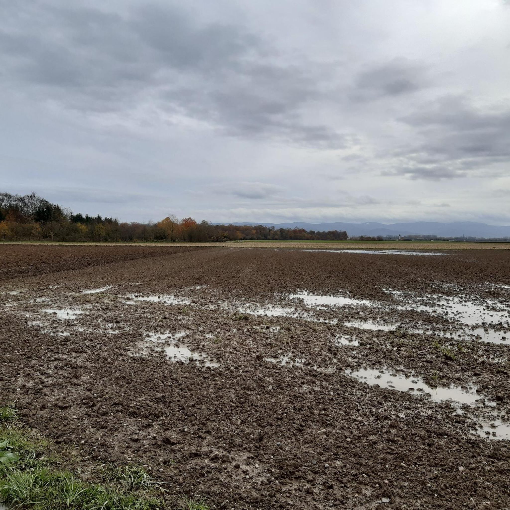
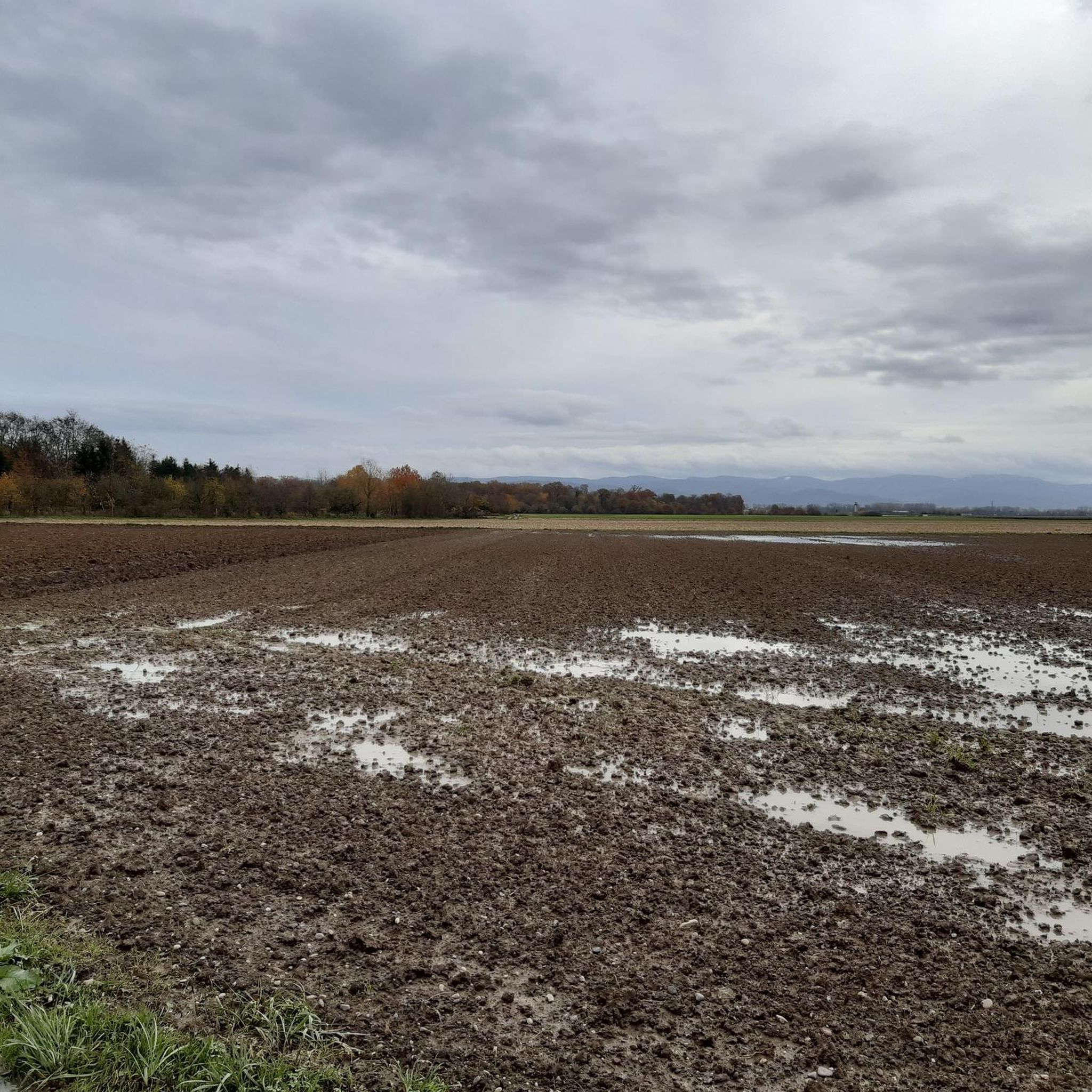
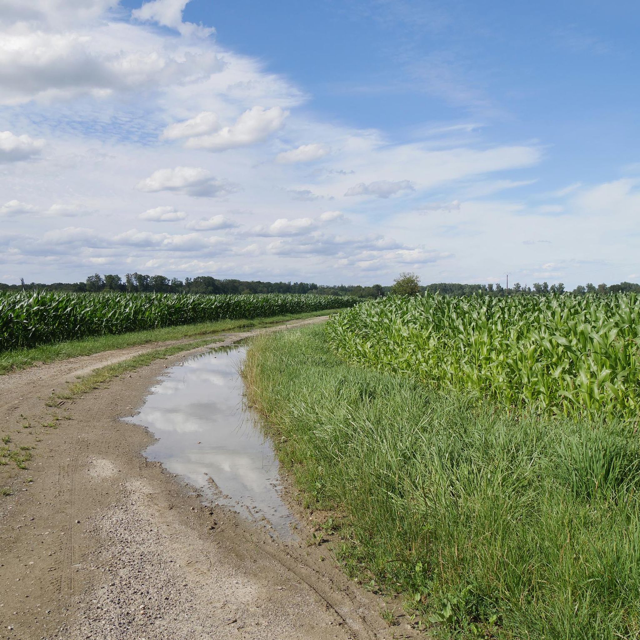
Hiking around Kauffenheim offers a network of trails primarily characterized by flat terrain, often traversing meadows and forested areas. The region features gentle landscapes, with minimal elevation changes, making it suitable for various activity levels. These routes frequently include botanical trails and scenic forest paths, providing opportunities to explore the local flora and natural surroundings.
Best hiking trails around Kauffenheim
- The most popular hiking route is Leutenheim Botanical Trail loop from Leutenheim, a 3.1 miles (5.1 km) trail that…
Last updated: October 9, 2026
4.5
(11)
19
hikers
5.05km
01:17
10m
10m
Easy hike. Great for any fitness level. Easily-accessible paths. Suitable for all skill levels.
3.8
(6)
12
hikers
12.6km
03:14
40m
40m
Moderate hike. Good fitness required. Easily-accessible paths. Suitable for all skill levels.

4.0
(3)
15
hikers
7.88km
02:01
30m
30m
Moderate hike. Good fitness required. Easily-accessible paths. Suitable for all skill levels.
4.4
(7)
22
hikers
9.65km
02:26
10m
10m
Moderate hike. Good fitness required. Easily-accessible paths. Suitable for all skill levels.
3.5
(2)
18
hikers
7.18km
01:48
10m
10m
Easy hike. Great for any fitness level. Easily-accessible paths. Suitable for all skill levels.
Get access to more routes and recommendations from other explorers.
Already have an account?
Our route recommendations are based on thousands of hikes, rides, and runs completed by other people on komoot.
Start today with a free account
Your next adventure awaits.

Tips from the Community

A row of ornamental trees
0
0
Bridge over the Stadenrhein in Beinheim
0
0

Beinheim is a commune. It is in Grand Est in the Bas-Rhin department in northeast France.
1
0

Bookcase in the publicly accessible "Les Jardins". Here you can sit nicely on the benches and leaf through French books. Enjoy the tranquility that this garden offers: walk, relax and even read in this green landscape where art and nature go hand in hand. Source and more: https://visit.alsace/de/267001426-der-garten-ephemere
0
0
Small playground, ideal for a break with the kids on a hike.
1
0
There is also a small church in the village: Eglise Sainte-Croix de Beinheim
1
1
Frequently Asked Questions
How many hiking trails are available around Kauffenheim?
There are over 250 hiking routes around Kauffenheim, offering a wide variety of options for different preferences and skill levels. The region is known for its gentle landscapes, primarily featuring flat terrain through meadows and forests.
Are there easy hiking trails suitable for beginners or families in Kauffenheim?
Yes, Kauffenheim is an excellent area for easy hikes, with over 150 routes classified as easy. These trails often traverse flat meadows and gentle forest paths, making them ideal for beginners, families with children, or those looking for a relaxed stroll. An example is the Leutenheim Botanical Trail loop from Leutenheim, which is an easy 3.1-mile (5.1 km) route.
What kind of terrain can I expect on hikes around Kauffenheim?
The hiking trails around Kauffenheim are predominantly flat, characterized by gentle landscapes. You'll frequently find yourself walking through open meadows, along botanical trails, and through scenic forested areas. There are minimal elevation changes, making most routes accessible and enjoyable.
Are there any challenging hikes for experienced hikers in the area?
While Kauffenheim is known for its gentle terrain, there are a few routes that offer a bit more challenge, with 4 trails classified as difficult. These routes might involve longer distances or slightly more varied terrain compared to the typical flat paths. For a moderate option, consider the Leutenheim Botanical Trail – Meadow loop from Forstfeld, which is 7.9 miles (12.6 km) long.
Are there circular walks available around Kauffenheim?
Yes, many of the hiking routes in Kauffenheim are designed as circular walks, allowing you to start and end at the same point. This is convenient for planning your day. The Scenic Forest Path loop from Rœschwoog is a popular circular option, covering 4.4 miles (7.1 km) through wooded areas.
What do other hikers say about the trails in Kauffenheim?
The trails in Kauffenheim are highly regarded by the komoot community, holding an average rating of 4.6 stars from over 900 reviews. Hikers often praise the well-maintained paths, the peaceful natural surroundings, and the accessibility of the routes for various fitness levels.
Are there any natural attractions or landmarks to see along the hiking trails?
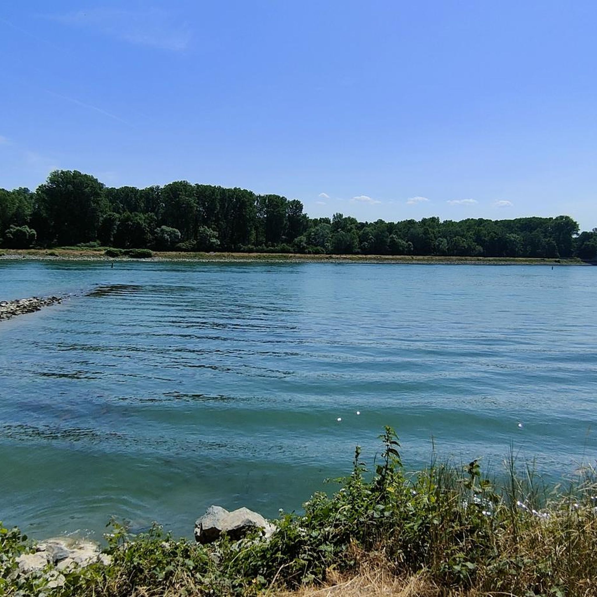
Yes, the region around Kauffenheim offers several natural attractions. You can explore areas like Where the Moder meets the Rhine or the Ried Canal in the Rastatter Ried Nature Reserve. There are also beautiful lakes such as Erländer Lake and Ameisensee, which provide scenic spots for a break.
Can I bring my dog on the hiking trails in Kauffenheim?
Many trails in Kauffenheim are suitable for dogs, especially the wide paths through meadows and forests. It's generally recommended to keep your dog on a leash, particularly in nature reserve areas or near wildlife. Always check local signage for specific regulations on individual routes.
Is there public transport available to access hiking trails near Kauffenheim?
While specific public transport connections to every trailhead might vary, Kauffenheim and its surrounding villages are generally accessible by local bus services. It's advisable to check regional transport schedules in advance to plan your journey to the starting points of your chosen hikes.
Where can I find parking for hiking trails in Kauffenheim?
Many trailheads in and around Kauffenheim, especially those near villages like Leutenheim, Forstfeld, or Rœschwoog, offer designated parking areas. These are often located near community centers, sports facilities, or specific points of interest. Always look for official parking signs to ensure you're parked legally and safely.
Are there any long-distance hiking options near Kauffenheim?
While Kauffenheim itself is known for shorter, accessible loops, its network of trails can be connected to form longer routes. The flat terrain makes it suitable for extended walks through the Rhine plain, potentially linking up with regional long-distance paths. You can explore options like the Beinheim Playground – Beinheim Town Hall loop from Beinheim for a moderate, longer experience.
What is the best time of year to go hiking in Kauffenheim?
Kauffenheim's gentle landscapes make it suitable for hiking throughout much of the year. Spring brings blooming botanical trails and fresh greenery, while autumn offers beautiful fall foliage in the forested areas. Summer is pleasant for walks through shaded woods, and even mild winter days can be enjoyable on the flat, accessible paths.
Most popular routes around Kauffenheim
Most popular attractions around Kauffenheim

Get inspired with the komoot mobile app


Explore more
Browse the best Hikes in other regions.
