The best road cycling routes around Étrun
4.4
(285)
4,970
riders
543
rides
Road cycling routes around Étrun traverse a varied landscape in the Pas-de-Calais department of France. The region features a network of greenways, including the Scarpe Canal Towpath, which provides paved surfaces suitable for road bikes away from urban traffic. Cyclists can expect to encounter natural protected areas like the Marais de Maroeuil, known for its diverse flora, alongside historical sites such as the Canadian National Vimy Memorial and the Arras Citadel. The terrain generally offers a mix of flat sections…
Last updated: July 2, 2026
4.4
(7)
52
riders
29.5km
01:27
300m
300m
Moderate road ride. Good fitness required. Mostly well-paved surfaces and easy to ride.
5.0
(6)
33
riders
Moderate road ride. Good fitness required. Mostly well-paved surfaces and easy to ride.

Sign up for free
4.3
(3)
27
riders
46.4km
02:04
330m
330m
Moderate road ride. Good fitness required. Mostly well-paved surfaces and easy to ride.
23
riders
44.2km
01:54
280m
280m
Easy road ride. Great for any fitness level. Mostly well-paved surfaces and easy to ride.
5.0
(2)
24
riders
50.2km
02:44
350m
350m
Moderate road ride. Good fitness required. Mostly well-paved surfaces and easy to ride.
Get access to more routes and recommendations from other explorers.
Sign up for free
Already have an account?
Our route recommendations are based on thousands of hikes, rides, and runs completed by other people on komoot.
Start today with a free account
Your next adventure awaits.
Login or Signup

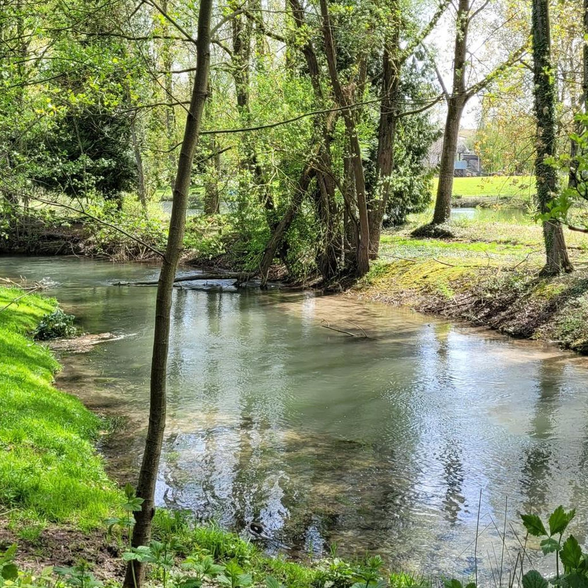
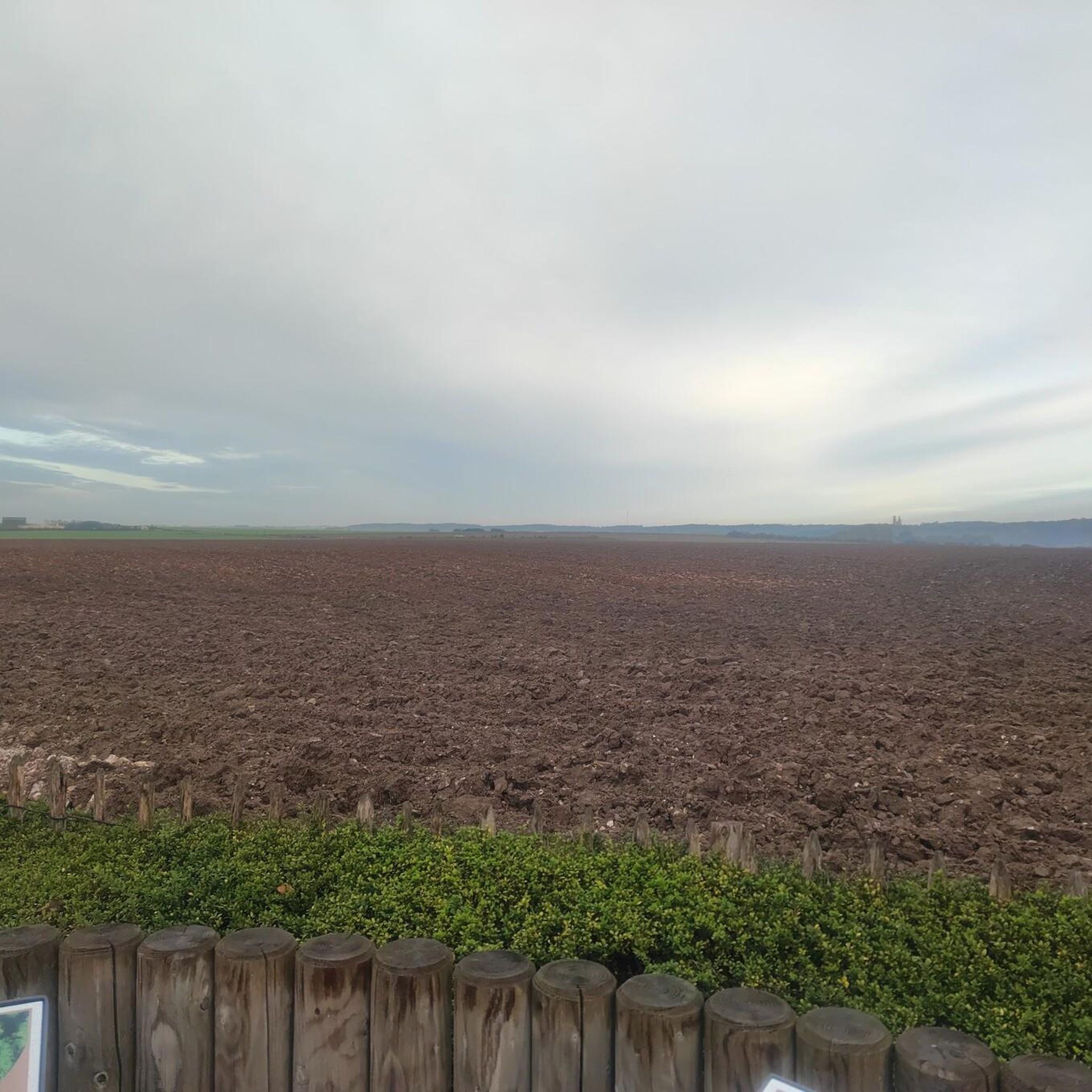
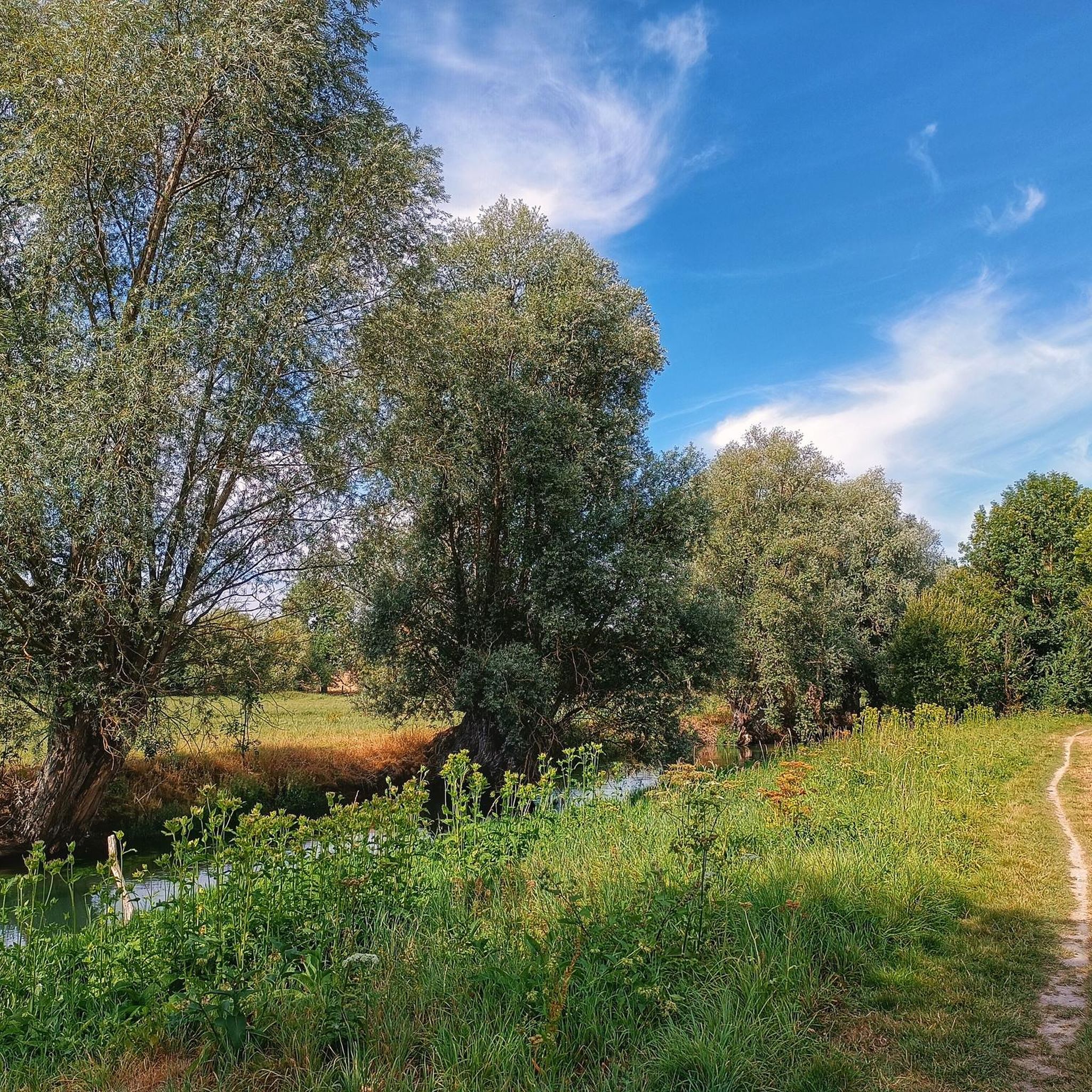
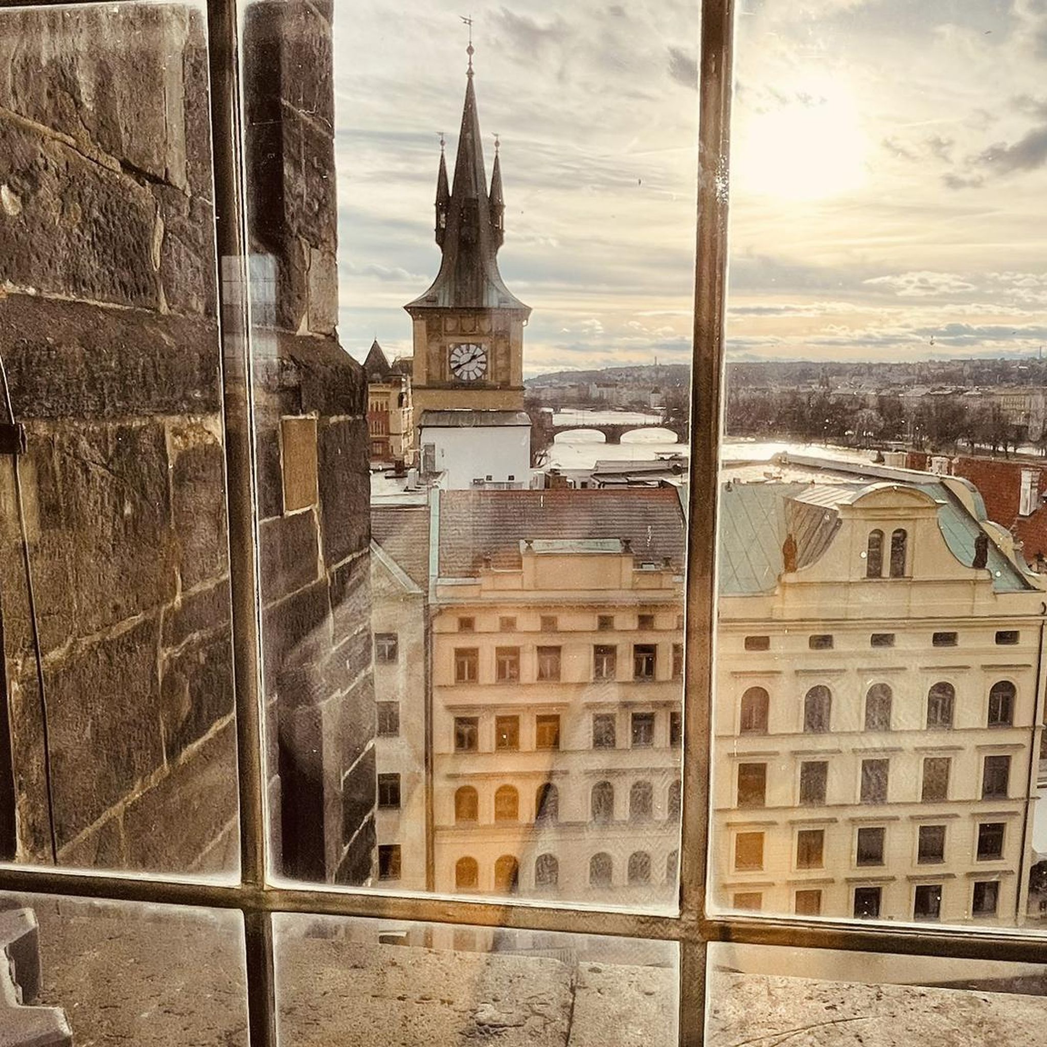
Tips from the Community

Mont César rises to a height of 138 meters on the left bank of the Thérain River, near the hamlet of Froidmont, in the municipality of Bailleul-sur-Thérain, in the Oise department. The hill, which overlooks the valley and surrounding marshes, has been inhabited since the Bronze Age and was likely a Gallo-Roman oppidum on an ancient, fortified Gallic camp. Archaeological excavations carried out since the 18th century have unearthed numerous objects and remains of fortifications. During excavations conducted in 1878 by Isidore Berton, Gallic coins and various objects from the Roman period were discovered. Want to know more? Click through to the source: https://fr.wikipedia.org/wiki/Mont_C%C3%A9sar
0
0


Small chapel accessible from Saulty, leads to the national
0
0


The Canadian National Vimy Memorial (Vimy, Pas-de-Calais department) is a memorial dedicated to those who were missing or killed in World War I in the Canadian Expeditionary Force. The monument is located on the site of a well-preserved or partially reconstructed battlefield, including trenches and tunnels. Guided tours are offered in French and English, there are several memorials, a permanent and a temporary exhibition, a museum shop and a marked hiking trail that conveys the history of the site.
0
0

You absolutely have to see it. The climb is worth it ;-)
0
0

The church dedicated to the Mother of God under the title "Notre-Dame de Lorette" rises in brilliant white and is visible from far away. But the brilliant impression is deceptive, at the latest when the visitor to the site realizes that they are in a huge military cemetery. Around 20,000 individual graves and a further 23,000 victims of war and tyranny buried in ossuaries are deeply disturbing.
0
0

From the top of a hill, the panorama from Mont-Saint-Eloi extends over the entire Scarpe valley and the Artois plain. The village is known for the ruins of its abbey, and the two towers dominate the surrounding landscape.
0
0
Frequently Asked Questions
How many road cycling routes are available around Étrun?
There are over 500 road cycling routes around Étrun, offering a wide range of options for different skill levels. You'll find more than 120 easy routes, nearly 400 moderate routes, and a selection of challenging rides.
What kind of terrain can I expect on road cycling routes near Étrun?
The region around Étrun offers a varied landscape for road cycling. You can expect a mix of flat sections, particularly along greenways like the Scarpe Canal Towpath, and gentle ascents as you approach historical ridges and higher ground. The terrain is generally suitable for road bikes, with well-maintained surfaces.
Are there any easy road cycling routes suitable for beginners or families?
Yes, Étrun offers over 120 easy road cycling routes. A great option for a leisurely ride is the Ruins of Mont-Saint-Eloi Abbey – Abbey of Mont Saint-Éloi loop from Marœuil, which is an easy 26.5-mile path offering scenic views through the countryside.
What are some challenging road cycling routes around Étrun?
For those seeking a challenge, there are 18 difficult road cycling routes in the area. Routes like the Abbey of Mont-Saint-Éloi – Cimetiere militaire d’Ecoivres loop from Marœuil, spanning over 58 miles with significant elevation gain, offer a more demanding experience.
What historical landmarks can I see along the road cycling routes?
Many routes incorporate significant historical sites. You can cycle past the poignant Canadian National Vimy Memorial on Vimy Ridge, or explore the area around the ruined church of Ablain-Saint-Nazaire. The Circuit des Hauts-Lieux de la Grande Guerre en Artois specifically connects several First World War historical sites.
Are there any natural attractions or scenic viewpoints along the cycling paths?
Absolutely. The region features natural protected areas like the Marais de Maroeuil, a swamp area known for its diverse flora and fauna, offering a picturesque backdrop. You can also enjoy views from elevated points like Mont César, which is part of the Mont César – Memory Cycle Route loop from Marœuil.
What do other road cyclists enjoy most about cycling in Étrun?
The road cycling routes around Étrun are highly rated by the komoot community, with an average score of 4.3 stars from over 260 reviews. Cyclists often praise the varied terrain, the combination of natural beauty and historical sites, and the well-maintained greenways that provide safe passage away from urban traffic.
Are there circular road cycling routes available?
Yes, many of the routes around Étrun are designed as loops, allowing you to start and finish at the same point. Examples include the Ruins of Mont-Saint-Eloi Abbey – Abbey of Mont Saint-Éloi loop from Marœuil and the Mont César – Memory Cycle Route loop from Marœuil, offering convenient circular journeys.
Is it possible to combine road cycling with visits to cultural sites like the Arras Citadel?
Yes, the proximity of Étrun to Arras makes it easy to combine cycling with cultural exploration. The Arras Citadel, a UNESCO World Heritage site, is accessible and offers a unique setting with historical buildings and green spaces that can be explored before or after your ride.
What is the best time of year for road cycling in Étrun?
While specific weather data isn't provided, the region's varied landscape and greenways are generally enjoyable from spring through autumn. Mild temperatures and less rainfall typically make these seasons ideal for road cycling, allowing you to fully appreciate both the natural and historical sights.
Are there any specific greenways suitable for road bikes?
Yes, a notable greenway is the Scarpe Canal Towpath, established by the Arras Urban Community. It features a stabilized dolomite surface, making it perfectly suitable for road bikes. This path offers a peaceful, leafy environment away from urban traffic, allowing cyclists to ride alongside the water through natural parks.
Most popular attractions around Étrun

Get inspired with the komoot mobile app


Explore more
Browse the best Road cycling routes in other regions.
