The best road cycling routes around Stattmatten
4.4
(198)
2,898
riders
228
rides
Road cycling routes around Stattmatten traverse a landscape characterized by the Rhine Plain and nearby forested areas. The region offers varied terrain, from flat canal paths to routes with moderate climbs. Road cyclists can expect to encounter a mix of open agricultural land and sections passing through small villages.
Best road cycling routes around Stattmatten
- The most popular road cycling route is Canal de la Marne au Rhin – View of St. Paul's Church loop from Sessenheim, a 72.9…
Last updated: June 25, 2026
4.0
(2)
25
riders
38.7km
01:31
130m
130m
Easy road ride. Great for any fitness level. Mostly well-paved surfaces and easy to ride.
1.0
(1)
22
riders
54.0km
02:09
200m
200m
Moderate road ride. Good fitness required. Mostly well-paved surfaces and easy to ride.

Sign up for free
14
riders
48.6km
01:59
250m
250m
Easy road ride. Great for any fitness level. Mostly well-paved surfaces and easy to ride.
5.0
(1)
13
riders
30.7km
01:11
50m
50m
Easy road ride. Great for any fitness level. Mostly well-paved surfaces and easy to ride.
10
riders
57.3km
02:27
320m
320m
Moderate road ride. Good fitness required. Mostly well-paved surfaces and easy to ride.
Get access to more routes and recommendations from other explorers.
Sign up for free
Already have an account?
Our route recommendations are based on thousands of hikes, rides, and runs completed by other people on komoot.
Start today with a free account
Your next adventure awaits.
Login or Signup
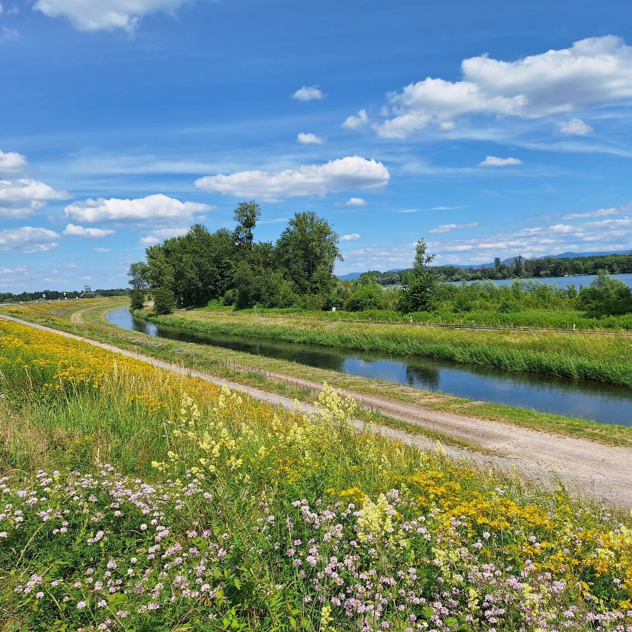
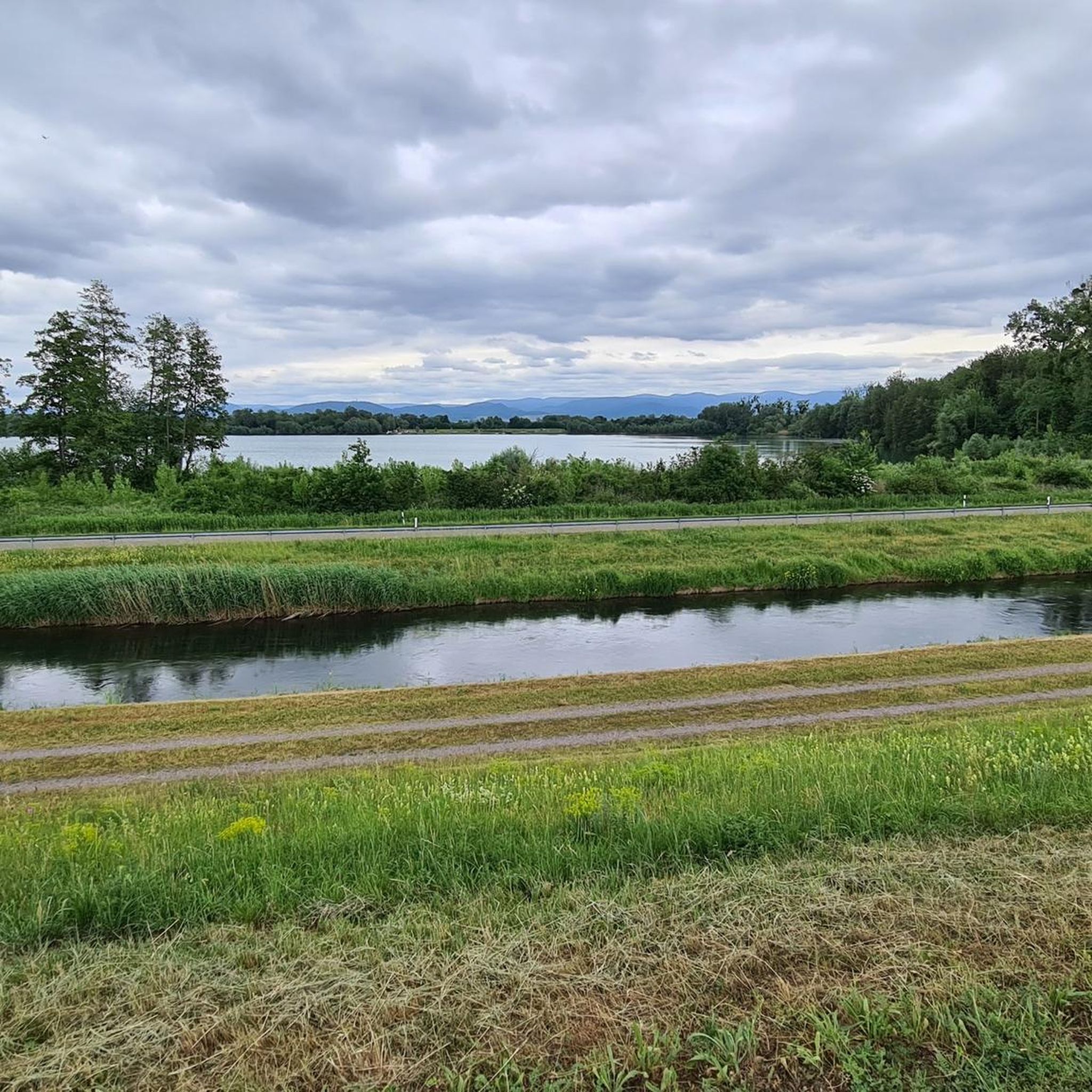
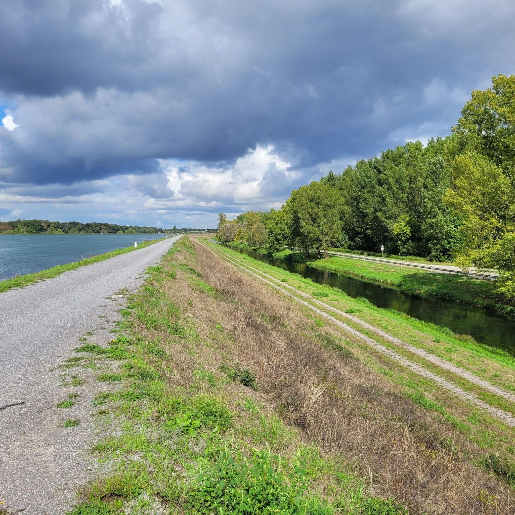
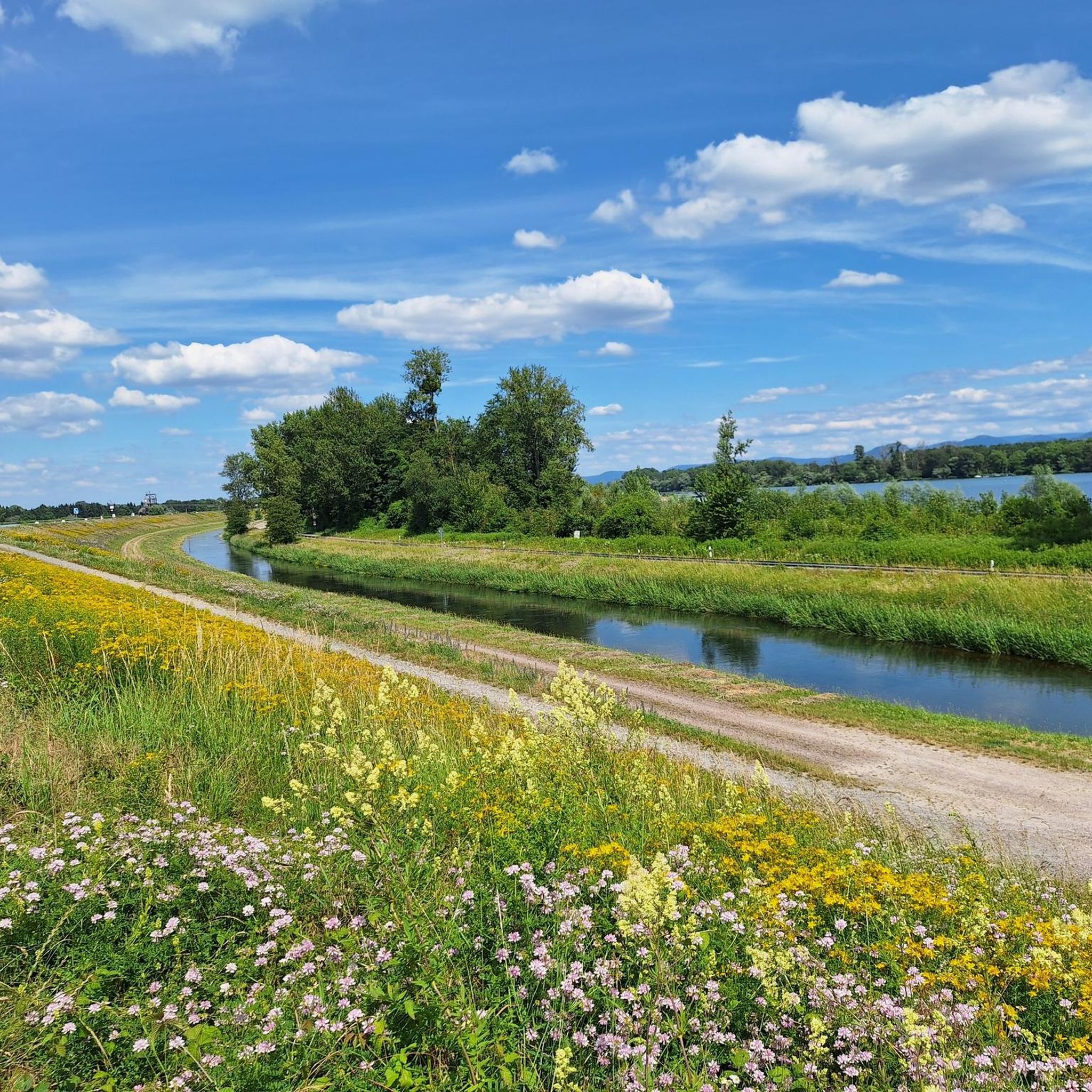
Tips from the Community

A nice rest stop next to the bike path with a bench and table. Trash cans were also available and were very clean. Ideal for short and long breaks.
0
0

It's always worth heading over to France and exploring new routes. :) There are some very good bike paths there. I occasionally cycle to the neighboring country. :)
2
0

Hermerswiller is a small village with some beautiful, remarkably well-maintained half-timbered buildings.
1
0

This is where the Sauer River, coming from the Vosges Mountains, flows into the Rhine. The estuary delta is a large floodplain with a wide variety of amphibians and birds – protected since 1997.
4
0

A nice corner here. Take a break while standing.
1
0
I drove the route twice today - Saturday. There was almost no traffic in the morning, and very little in the afternoon.
2
0

Top cycle path on the French side of the Rhine - here you can cycle completely asphalted away from the main roads
0
0
Top cycle path on the French side of the Rhine - here you can cycle completely asphalted away from the main roads
0
0
Frequently Asked Questions
How many road cycling routes are available around Stattmatten?
There are over 230 road cycling routes around Stattmatten, offering a wide variety of options for different skill levels and preferences. The komoot community has explored nearly 3,000 of these routes.
What kind of terrain can I expect on road cycling routes near Stattmatten?
The terrain around Stattmatten is diverse, characterized by the flat Rhine Plain and nearby forested areas. You'll find routes along canal paths, through open agricultural land, and some with moderate climbs as you head towards higher ground, like the View of the Rhine Plain – Hornisgrinde Tower loop from Sessenheim.
Are there easy or beginner-friendly road cycling routes in the Stattmatten area?
Yes, Stattmatten offers a good selection of easy routes, with 81 classified as such. These often follow the flat canal paths, providing a gentle introduction to the region's cycling. A moderate option like the Hermerswiller – Seebach Town Hall loop from Sessenheim also connects several villages with manageable terrain.
Are there challenging road cycling routes for experienced riders?
Absolutely. For experienced riders seeking a challenge, there are 14 difficult routes available. These often include more significant elevation gains, such as the View of the Rhine Plain – Hornisgrinde Tower loop from Sessenheim, which features over 1,300 meters of ascent.
What are some interesting natural sights or landmarks to see along the routes?
Many routes offer views of the Rhine Plain and pass by various natural attractions. You might encounter the Confluence of the Rench and the Rhine, or the serene Ziegersee. The region also features unique natural monuments like the Dreifaltigkeitsbuche in the Hardtwald, Iffezheim.
Are there any circular road cycling routes around Stattmatten?
Yes, many of the routes around Stattmatten are designed as loops, allowing you to start and end in the same location. Examples include the popular Canal de la Marne au Rhin – View of St. Paul's Church loop from Sessenheim and the Pfaffenschlick Pass – Route Forestiere de Heuscheuer loop from Sessenheim.
What do other road cyclists enjoy most about cycling in Stattmatten?
The road cycling routes in Stattmatten are highly rated by the komoot community, with an average score of 4.5 stars from over 200 reviews. Cyclists often praise the varied terrain, from flat canal paths to routes with moderate climbs, and the mix of open agricultural land with charming village passages.
Are there any historical sites or points of interest along the routes?
Yes, the region has historical significance. For instance, you might pass by the Ritterloch Historical Site. Some routes also lead near fortifications, such as the Pfaffenschlick Pass – Fort Schoenenbourg loop from Sessenheim, offering a glimpse into the area's past.
What is the typical duration for road cycling routes in this area?
Route durations vary significantly depending on distance and elevation. Shorter, moderate routes like the Hermerswiller – Seebach Town Hall loop from Sessenheim can take around 2.5 hours, while longer, more challenging rides such as the View of the Rhine Plain – Hornisgrinde Tower loop from Sessenheim might require over 5 hours to complete.
Are there places to stop for refreshments or shelter along the routes?
While specific cafes aren't detailed for every route, the region offers various huts and shelters. You might find spots like the Lauftreff Wooden Shelter or the Hut at Rentnereck, which can provide a break or shelter during your ride.
What is the best season for road cycling around Stattmatten?
The Rhine Plain generally offers pleasant cycling conditions from spring through autumn. Spring brings blooming landscapes, while autumn provides cooler temperatures and vibrant foliage. Summer is also suitable, though it's advisable to start earlier in the day to avoid the midday heat.
Is it possible to access road cycling routes via public transport in the Stattmatten area?
While specific public transport connections directly to every trailhead are not detailed, the region is generally accessible. Many routes start from villages like Sessenheim, which may have local bus or train connections, allowing for car-free access to your starting point.
Most popular routes around Stattmatten
Most popular attractions around Stattmatten

Get inspired with the komoot mobile app


Explore more
Browse the best Road cycling routes in other regions.
