The best walks and hikes around Kirchberg Am Wald
4.5
(279)
1,858
hikers
94
hikes
Hiking trails around Kirchberg Am Wald are situated within the Bavarian Forest in Lower Bavaria, Germany, offering a blend of diverse landscapes. The region features varied terrain, including dense forest paths, open views, and significant natural features such as the ancient Todtenau Moor. Prominent mountain peaks like Brotjacklriegel and Geißkopf provide elevation and panoramic vistas, contributing to a range of hiking experiences.
Best hiking trails around Kirchberg Am Wald
- The most popular hiking route is Étang du Stock – Stock…
Last updated: August 29, 2026
4.6
(65)
343
hikers
9.91km
02:33
40m
40m
Moderate hike. Good fitness required. Easily-accessible paths. Suitable for all skill levels.
4.6
(58)
314
hikers
8.74km
02:15
40m
40m
Moderate hike. Good fitness required. Easily-accessible paths. Suitable for all skill levels.

Sign up for free
4.0
(5)
27
hikers
22.3km
05:44
110m
110m
Hard hike. Very good fitness required. Easily-accessible paths. Suitable for all skill levels.
5.0
(1)
18
hikers
3.93km
01:01
20m
20m
Easy hike. Great for any fitness level. Easily-accessible paths. Suitable for all skill levels.
6
hikers
4.27km
01:05
10m
10m
Easy hike. Great for any fitness level. Easily-accessible paths. Suitable for all skill levels.
Get access to more routes and recommendations from other explorers.
Sign up for free
Already have an account?
Our route recommendations are based on thousands of hikes, rides, and runs completed by other people on komoot.
Start today with a free account
Your next adventure awaits.
Login or Signup
Tips from the Community

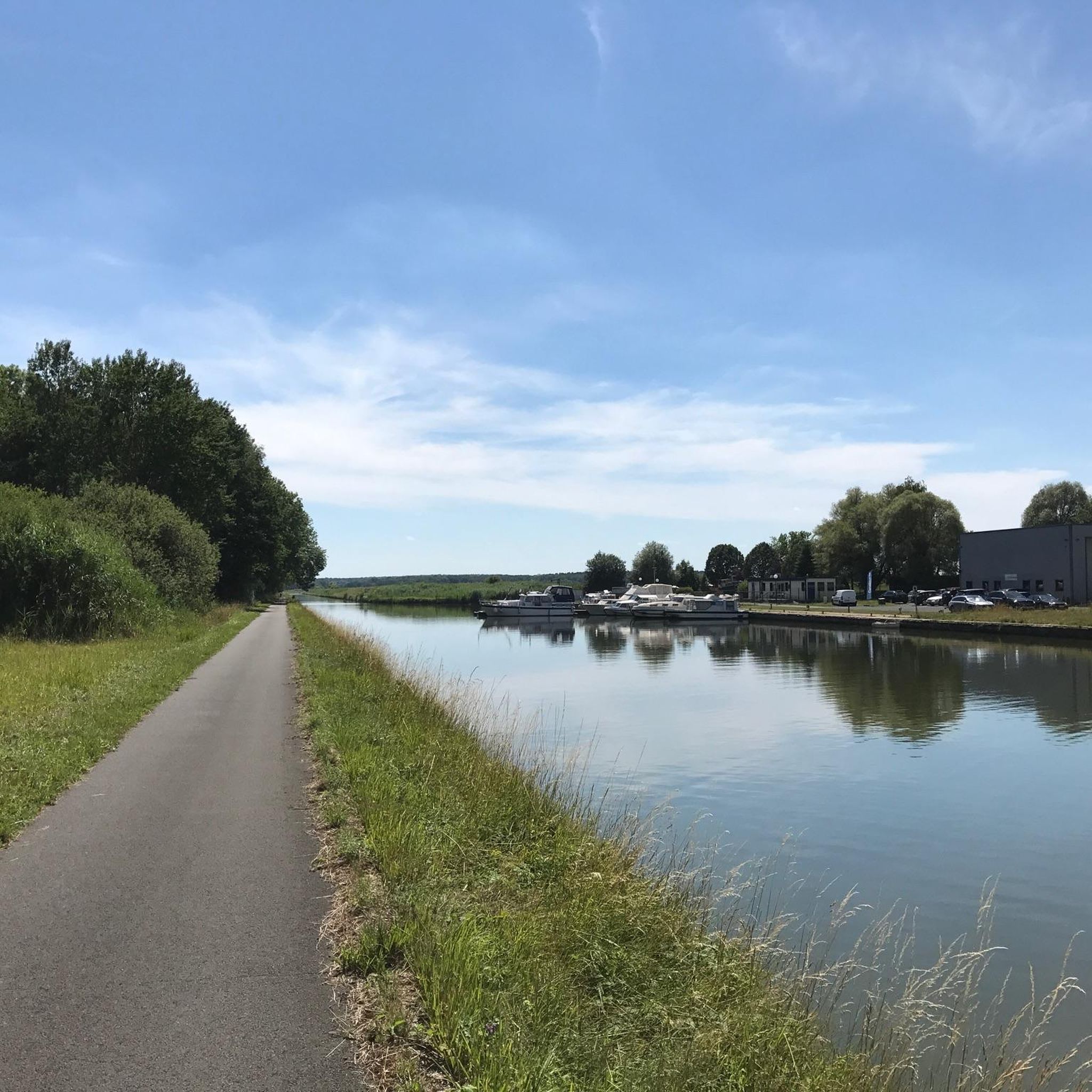
The Saar Coal Canal at Trois Ports immerses you in a peaceful landscape where the waterways meander through lush vegetation and peaceful countryside. Along the canal you will come across old locks and charming ports, each with a rich history linked to the coal trade which was once a thriving industry.
3
0

Here everything begins or ends with the locks.
2
0

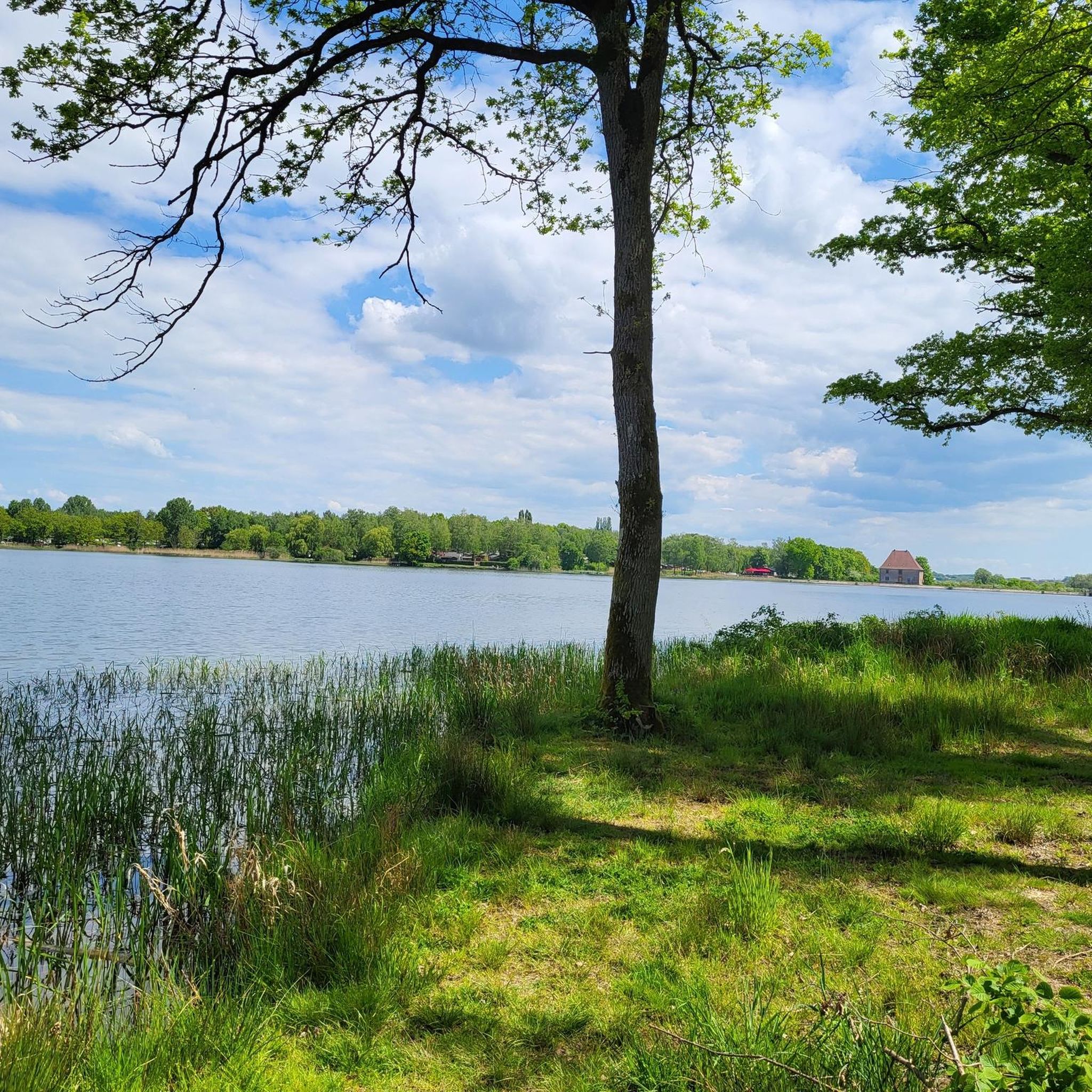
Beautiful small beach with a shady lawn at the Stockweiher (French Étang du Stock) in Langatte (German Langd).
0
0
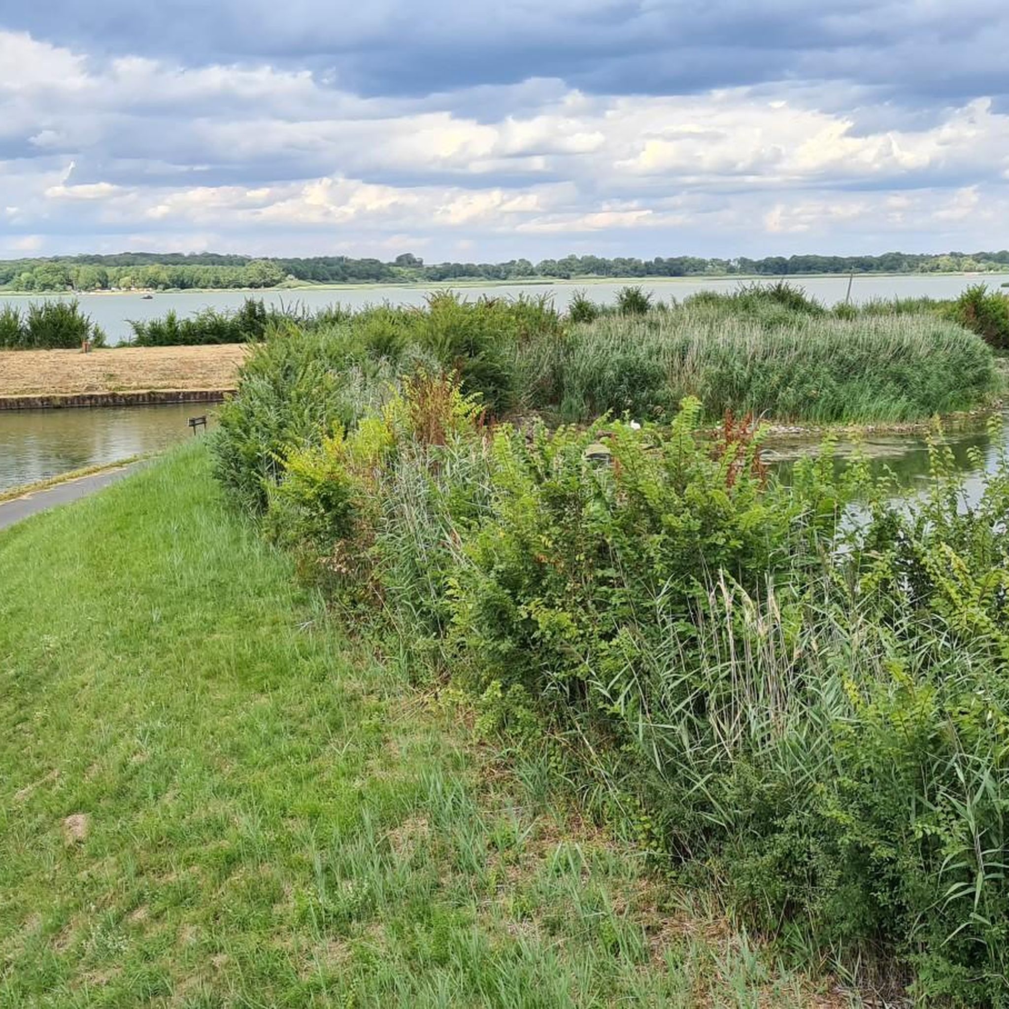
At the end of the dam wall near the harbor you have a beautiful view over the Stockweiher (Fr. Étang du Stock), including small fishing boats. This part of the pond belongs to the municipality of Kirchberg am Wald (fr. Kerprich-aux-Bois).
0
0

A lake landscape that you cross on the canal cycle path has something relaxing, just chilling while biking 🚵♂️👍
0
0

The Stockweiher is a paradise for sailors and motorboat drivers
0
1
Really great to cycle along the canal
0
1
And next door there is a nice campsite
0
0
Frequently Asked Questions
How many hiking trails are available in Kirchberg Am Wald?
Kirchberg Am Wald offers a wide selection of hiking opportunities, with nearly 100 routes to explore. These include 47 easy trails, 42 moderate routes, and 3 more challenging options, ensuring there's something for every skill level.
What kind of terrain can I expect on hikes around Kirchberg Am Wald?
The terrain around Kirchberg Am Wald is diverse, ranging from dense forest paths within the Bavarian Forest to open views. You'll encounter varied landscapes, including the ancient Todtenau Moor and ascents to prominent mountain peaks like Brotjacklriegel and Geißkopf, which offer panoramic vistas.
Are there any family-friendly hiking options in Kirchberg Am Wald?
Yes, Kirchberg Am Wald is well-suited for families. Many trails are easy and accessible, such as the family-friendly circular trail (Trail #6) leading to the Todtenau Moor. This 6.5 km route from Kirchberg im Wald town hall offers a tranquil experience without significant ascents, perfect for all ages.
What are some notable natural features or landmarks to see while hiking?
Hikers can discover several natural features and landmarks. The Todtenau Moor is a significant natural reserve. For panoramic views, consider hiking to Brotjacklriegel, which features an observation tower. The Geißkopf summit also offers beautiful nature experiences and the ruins of the abandoned forest village of Oberbreitenau. Additionally, you can explore the Étang du Stock Dam and enjoy magnificent views of the Stock Pond.
Are there any circular hiking routes in the area?
Yes, Kirchberg Am Wald features several circular routes. A popular easy option is the Étang du Stock Dam – Stock Pond loop from Kerprich-aux-Bois, which is 5.0 km long. For a moderate challenge, try the Étang du Stock Dam – Stock Pond loop from Langatte, covering 7.9 km with scenic views.
What is the best time of year for hiking in Kirchberg Am Wald?
The region is beautiful year-round, but autumn is particularly mystical, especially around the Todtenau Moor. Spring and summer offer lush greenery and pleasant temperatures. In winter, nearby areas like Geißkopf are popular for cross-country skiing and snowshoeing, suggesting that some trails might be suitable for winter hiking, though conditions should always be checked.
What do other hikers say about the trails in Kirchberg Am Wald?
The hiking routes in Kirchberg Am Wald are highly regarded by the komoot community, holding an average rating of 4.5 stars from over 280 reviews. Hikers frequently praise the varied terrain, the tranquil natural beauty, and the well-marked paths that cater to different ability levels.
Are there any easy hikes suitable for beginners?
Absolutely. For beginners or those seeking a relaxed walk, the Picnic area – Stock Pond loop from L'Éden Lorrain is an excellent choice. This easy route is 3.9 km long and takes approximately 1 hour to complete, offering gentle elevation changes around the pond.
Where can I find information about local wildlife or nature education?
You can visit the Bienenlehrpfad (Bee Nature Trail) and the Haus der Bienen (House of Bees) in Kirchberg im Wald. This natural information center educates visitors about beekeeping and the vital role of bees in nature, accessible via a dedicated bee nature trail.
Are there any longer or more challenging hikes available?
Yes, for experienced hikers looking for a greater challenge, the Stock Pond – Pond With Swans and Waterfowl loop from Kerprich-aux-Bois is a difficult route spanning 22.5 km. This trail involves more significant elevation changes and typically takes nearly 6 hours to complete.
Are there places to eat or stay near the hiking trails?
The region around Kirchberg Am Wald is known for its 'urige Gaststätten' (quaint restaurants), where hikers can enjoy local culinary delights after their excursions. While specific accommodations aren't detailed, the presence of these establishments suggests options for refreshments and possibly lodging in the vicinity.
What are the typical durations for hikes in Kirchberg Am Wald?
Hiking durations vary significantly based on the trail's length and difficulty. Easy routes like the Étang du Stock Dam – Stock Pond loop from Kerprich-aux-Bois can be completed in about 1 hour 18 minutes. Moderate trails, such as the Étang du Stock – Stock Pond loop from Kerprich-aux-Bois, typically take around 2 hours 33 minutes. More difficult and longer routes can extend to nearly 6 hours.
Most popular routes around Kirchberg Am Wald
Most popular attractions around Kirchberg Am Wald

Get inspired with the komoot mobile app


Explore more
Browse the best Hikes in other regions.
