The best walks and hikes around Oberstinzel
4.5
(218)
1,572
hikers
63
hikes
Hiking around Oberstinzel offers access to a landscape characterized by gentle hills and varied terrain, suitable for different activity levels. The region features a mix of open countryside, agricultural areas, and pockets of woodland. Elevation changes are generally mild, with most routes involving modest ascents and descents. The area provides opportunities for exploring local natural features and cultural sites on foot.
Best hiking trails around Oberstinzel
- The most popular hiking route is Hiking loop from Sarrebourg, a 1.9 miles…
Last updated: July 5, 2026
5.0
(2)
39
hikers
3.08km
00:49
40m
40m
Easy hike. Great for any fitness level. Easily-accessible paths. Suitable for all skill levels.
4.0
(1)
13
hikers
Moderate hike. Good fitness required. Easily-accessible paths. Suitable for all skill levels.

Sign up for free
5.0
(2)
13
hikers
10.3km
02:46
120m
120m
Moderate hike. Good fitness required. Easily-accessible paths. Suitable for all skill levels.
3.0
(1)
3
hikers
4.78km
01:15
30m
30m
Easy hike. Great for any fitness level. Easily-accessible paths. Suitable for all skill levels.
5.0
(1)
4
hikers
6.37km
01:43
80m
80m
Easy hike. Great for any fitness level. Easily-accessible paths. Suitable for all skill levels.
Get access to more routes and recommendations from other explorers.
Sign up for free
Already have an account?
Our route recommendations are based on thousands of hikes, rides, and runs completed by other people on komoot.
Start today with a free account
Your next adventure awaits.
Login or Signup
Tips from the Community

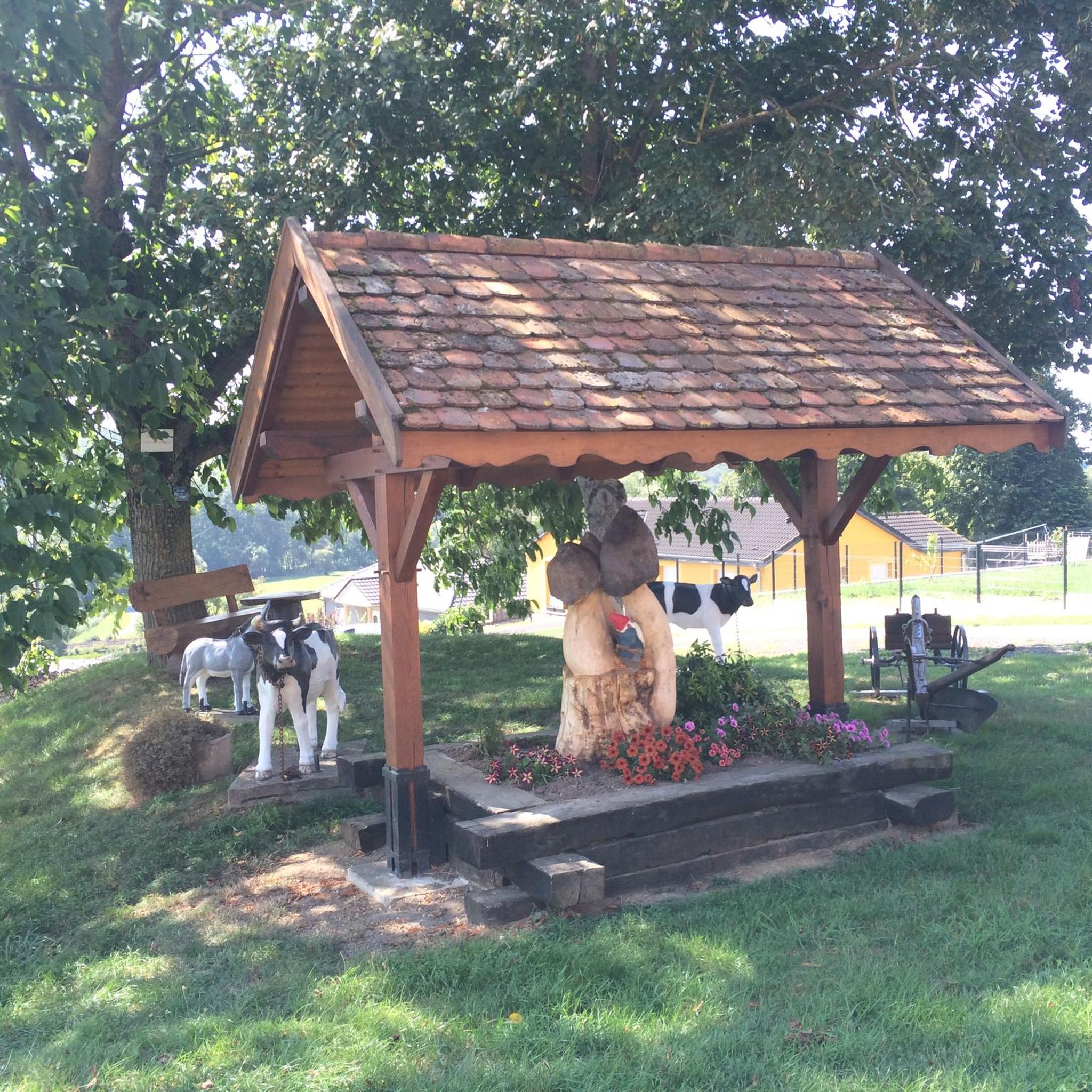
Nice small footbridge to the tiny island
3
0
The originally Romanesque chapel today serves as a museum for a huge and many other Chagall windows. The history of the window is exciting: In 1970, it was decided to demolish the dilapidated building adjacent to the chapel. The chapel was then restored. Due to the demolition, the chapel was open to the east. Marc Chagall was commissioned to close the opening with a stained-glass window, the Window of Peace, completed in 1976.
6
0
The originally Romanesque chapel today serves as a museum for a huge collection of Chagall windows and many others. The history of the window is exciting: in 1970, it was decided to demolish the adjacent, dilapidated building. The chapel was then restored. Due to the demolition, the chapel was open to the east. Marc Chagall was commissioned to close the opening with a stained-glass window, the Window of Peace, completed in 1976.
6
0

The window "La Paix" ("Peace") was completed in 1976. Peace – symbolic, biblically inspired. In the context of openness to the east, the window functions not only as a closure of the opening, but as a source of light, as a space open to the light. Work on it took two years. Dimensions: approximately 12 meters high x 7.5 meters wide. Weight approximately 900 kg. Chagall designed the window, which was created together with the stained-glass artist Charles Marq in the Atelier Simon in Reims.
0
0

The former monastery is now a hotel that is also suitable for cycling tourists.
0
0

In 2023, entry will cost €6 with a portable guide
1
0


A good plan for a night between two stages
1
0
Frequently Asked Questions
How many hiking trails are available around Oberstinzel?
There are over 60 hiking trails around Oberstinzel, offering a variety of options for different skill levels and preferences. This includes 29 easy routes, 32 moderate routes, and 1 challenging route.
What kind of terrain can I expect on hikes near Oberstinzel?
The landscape around Oberstinzel is characterized by gentle hills, open countryside, agricultural areas, and pockets of woodland. Elevation changes are generally mild, making most routes accessible and enjoyable.
Are there easy hiking trails suitable for beginners or families in Oberstinzel?
Yes, Oberstinzel offers nearly 30 easy hiking trails. A great option for a gentle walk is the Saint John the Baptist Church loop from Saint-Jean-de-Bassel, which is just under 3 miles (4.8 km) and has minimal elevation gain.
Are there circular hiking routes around Oberstinzel?
Many of the trails in the Oberstinzel area are circular, allowing you to start and end at the same point. For example, the Saint-Ulrich Convent loop from Haut-Clocher is a moderate 6.4 miles (10.3 km) circular trail that takes you through varied terrain.
What are some interesting landmarks or attractions I can see while hiking near Oberstinzel?
While hiking, you can explore several notable attractions. Consider visiting the La Forge Metal Canal Bridge, or the Étang du Stock Dam. The Grand Pond of Mittersheim also offers scenic views and is a popular spot.
Are there dog-friendly walking trails in the Oberstinzel area?
Most trails around Oberstinzel are suitable for dogs, provided they are kept on a leash and you follow local regulations. The varied terrain of open fields and woodlands offers plenty of space for you and your dog to enjoy. Always carry water for your pet, especially on longer routes.
What is the best time of year to go hiking in Oberstinzel?
The best time to hike in Oberstinzel is typically from spring through autumn (April to October). During these months, the weather is generally mild and pleasant, and the natural scenery is at its most vibrant. Summer offers longer daylight hours, while spring and autumn provide cooler temperatures and beautiful foliage.
Are there any less crowded hiking routes around Oberstinzel?
While some popular routes can see more visitors, many trails in Oberstinzel offer a quieter experience, especially on weekdays or earlier in the morning. Exploring some of the lesser-known paths or those slightly further from main towns can provide a more serene hike. The region's extensive network means you can often find peaceful sections.
What do other hikers enjoy the most about hiking in Oberstinzel?
The trails in Oberstinzel are highly rated by the komoot community, with an average score of 4.4 stars from over 200 reviews. Hikers often praise the region's gentle hills, varied landscapes of open fields and woodlands, and the well-maintained paths that cater to different abilities.
Are there any hiking routes near Oberstinzel that include a cafe or refreshment stop?
While specific cafes directly on every trail might be limited, many routes pass through or near small villages and towns where you can find local eateries or bakeries. Planning your hike to coincide with a stop in Sarrebourg or Haut-Clocher, for instance, could offer refreshment opportunities. The Cordeliers Chapel – Beautiful square in front of the church loop from Sarrebourg starts and ends in Sarrebourg, providing easy access to amenities.
What are the typical durations for hiking trails near Oberstinzel?
Hiking durations near Oberstinzel vary significantly. Shorter, easy routes like the Hiking loop from Sarrebourg can be completed in under an hour. Moderate trails, such as the Saint-Ulrich Convent loop from Haut-Clocher, typically take around 2.5 to 3 hours. Longer routes can extend to half a day or more, depending on your pace and breaks.
Are there good viewpoints along the hiking trails in Oberstinzel?
Yes, the gentle hills and open landscapes around Oberstinzel offer several spots with pleasant views of the surrounding countryside, agricultural areas, and local villages. While there aren't dramatic mountain vistas, you can find serene panoramic views, especially from elevated sections of trails. The Magnificent view of the Stock pond is a highlight worth seeking out.
Most popular routes around Oberstinzel
Most popular attractions around Oberstinzel

Get inspired with the komoot mobile app


Explore more
Browse the best Hikes in other regions.
