The best walks and hikes around Lauterfangen
4.6
(397)
2,141
hikers
268
hikes
Hiking around Lauterfangen offers routes through a landscape characterized by rolling terrain and historical sites. The region features a network of paths that often connect rural villages and significant landmarks, including remnants of the Maginot Line. Elevation changes are generally moderate, providing accessible hiking experiences across varied distances.
Best hiking trails around Lauterfangen
- The most popular hiking route is Maginot Line loop from Laudrefang, a 4.6 miles (7.4 km) moderate trail that takes 2 hours 4 minutes to complete,…
Last updated: July 5, 2026
4.0
(2)
12
hikers
19.8km
05:19
230m
230m
Hard hike. Very good fitness required. Easily-accessible paths. Suitable for all skill levels.
5.0
(1)
13
hikers
17.2km
04:40
240m
240m
Moderate hike. Good fitness required. Easily-accessible paths. Suitable for all skill levels.

Sign up for free
5.0
(1)
13
hikers
10.5km
02:48
130m
130m
Moderate hike. Good fitness required. Easily-accessible paths. Suitable for all skill levels.
4.5
(2)
9
hikers
13.1km
03:31
170m
170m
Moderate hike. Good fitness required. Easily-accessible paths. Suitable for all skill levels.
5.0
(2)
9
hikers
11.7km
03:08
140m
140m
Moderate hike. Good fitness required. Easily-accessible paths. Suitable for all skill levels.
Get access to more routes and recommendations from other explorers.
Sign up for free
Already have an account?
Our route recommendations are based on thousands of hikes, rides, and runs completed by other people on komoot.
Start today with a free account
Your next adventure awaits.
Login or Signup


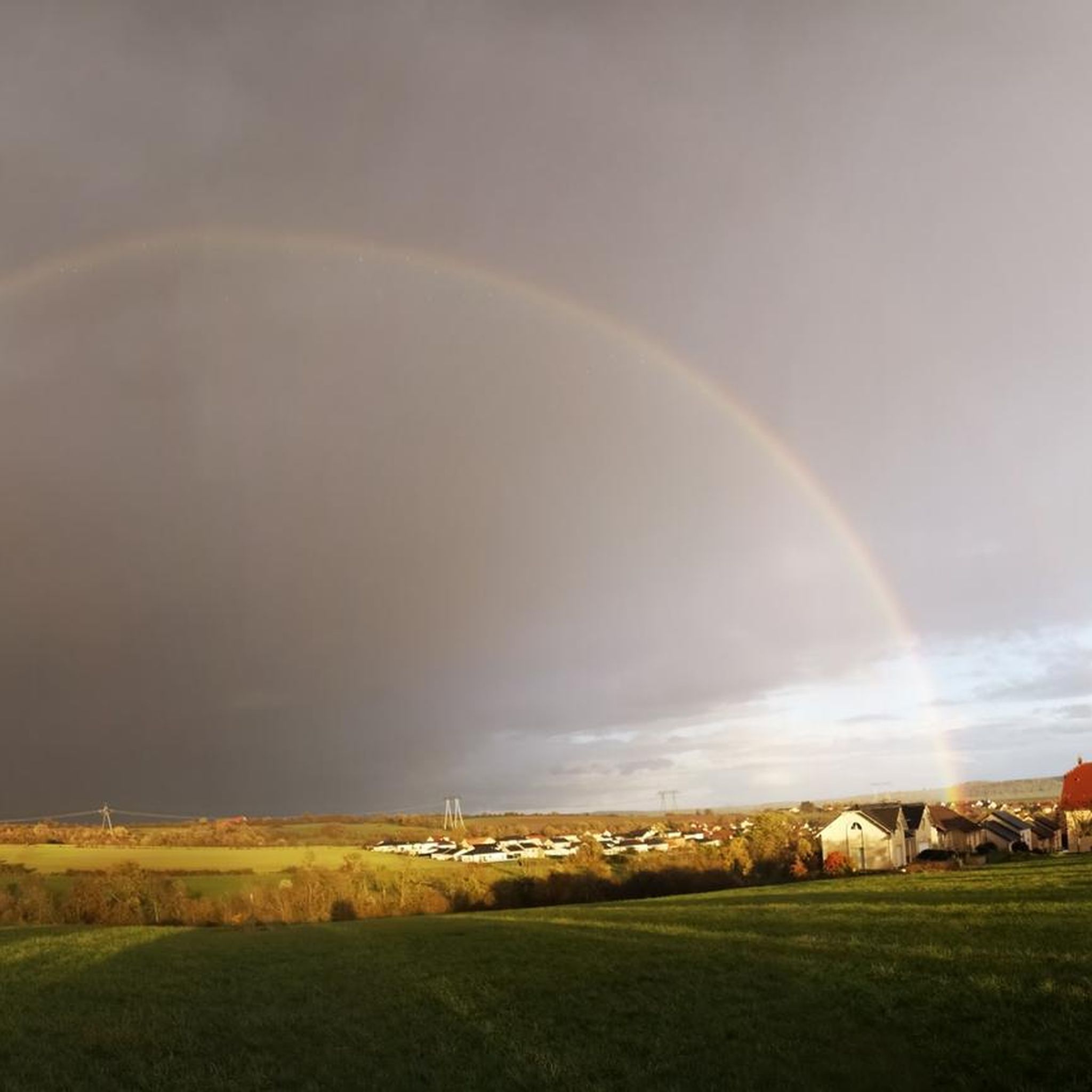
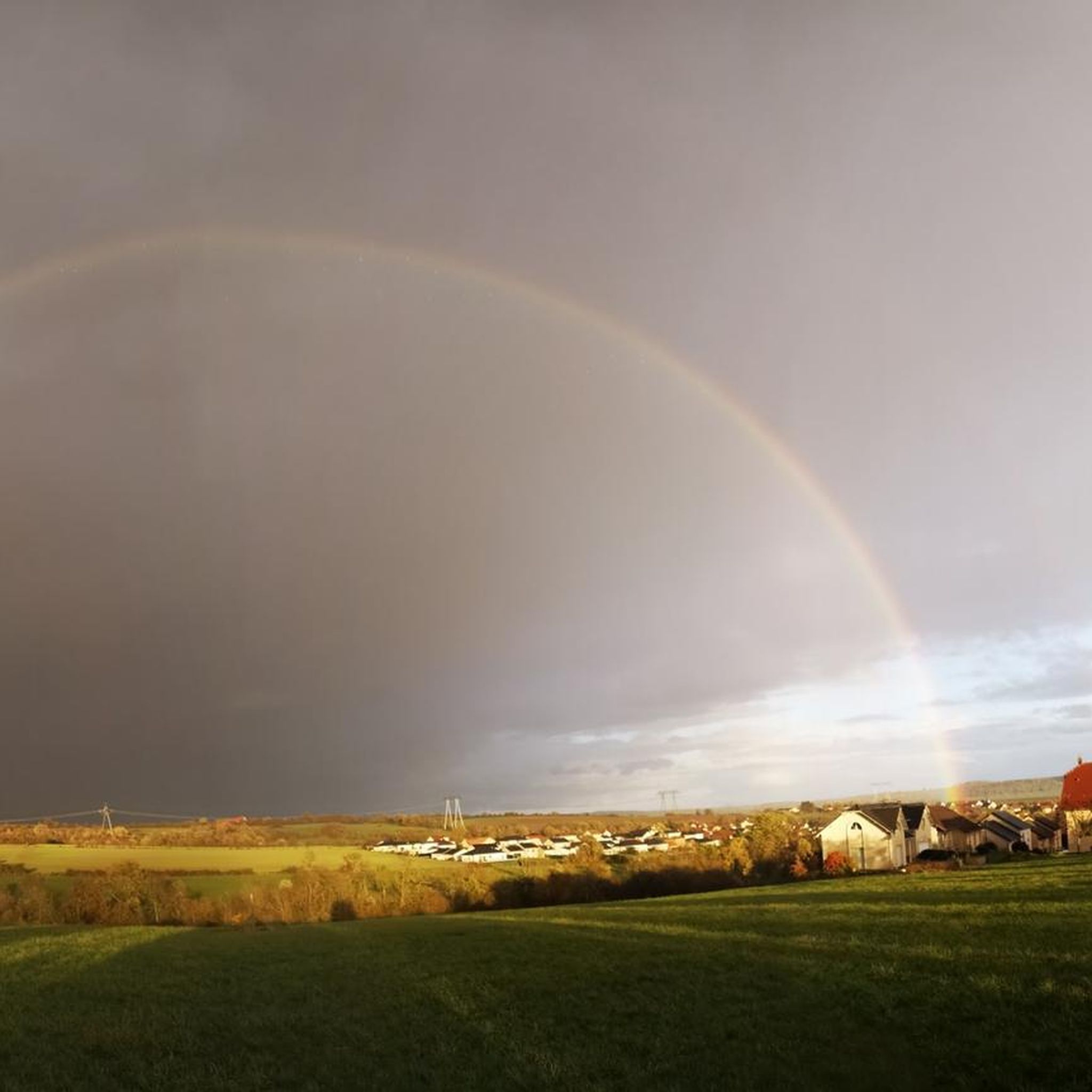
Tips from the Community

This unique extraction tower is one of the few remaining remnants of the Folschviller coal mine shaft. Its characteristic hammer shape is an alternative to the traditionally constructed model. The only example of this type in Moselle, the structure was granted protective protection in 1992. The shaft is 58 m high.
0
0


The modern low-rise building is located outside the center. You can reach the city by bus.
1
0
The modern low-rise train station is located outside the center. You can get to the city center by bus.
1
0
The modern low-rise train station is located outside the center. You can get to the city center by public bus.
1
0

Frequently Asked Questions
How many hiking trails are available around Lauterfangen?
There are over 260 hiking routes in the Lauterfangen region, offering a wide variety of options for different skill levels and interests. The area is known for its rolling terrain and historical sites.
What makes hiking in Lauterfangen unique?
Hiking in Lauterfangen is characterized by its blend of natural landscapes and significant historical landmarks, particularly remnants of the Maginot Line. The trails often connect rural villages and offer insights into the region's past, alongside scenic views.
Are there easy hiking trails suitable for beginners in Lauterfangen?
Yes, Lauterfangen offers approximately 80 easy hiking routes. These trails typically feature moderate elevation changes and are suitable for those looking for a less strenuous experience while still enjoying the regional scenery.
Can I find challenging hikes in the Lauterfangen area?
For experienced hikers seeking a challenge, there are about 10 difficult routes available. An example is the Folschviller village church – Pontpierre Chapel loop from Folschviller, which covers nearly 20 km and involves significant elevation changes.
Are there any circular hiking routes around Lauterfangen?
Many of the trails in Lauterfangen are designed as circular routes, allowing you to start and end at the same point. A popular option is the Maginot Line loop from Laudrefang, which is a moderate 7.4 km loop exploring historical fortifications.
What historical sites or landmarks can I see while hiking in Lauterfangen?
The region is rich in history. Many trails pass by or lead to historical sites such as remnants of the Maginot Line. You can also visit the Lorraine American Cemetery and Memorial, or religious buildings like the Saint-Nabor Abbey Church of Saint-Avold.
Are there family-friendly hiking options in Lauterfangen?
Yes, the moderate terrain and numerous easy routes make Lauterfangen suitable for family outings. Many trails are well-maintained and offer shorter distances, perfect for children. Look for routes with minimal elevation gain for the most family-friendly experience.
What do other hikers enjoy most about the trails in Lauterfangen?
The trails in Lauterfangen are highly rated by the komoot community, with an average score of 4.6 stars from over 280 reviews. Hikers often praise the well-marked paths, the historical significance of the Maginot Line bunkers, and the peaceful rural scenery.
Are there specific trails that offer good viewpoints?
While many trails offer scenic vistas of the rolling landscape, for a dedicated viewpoint, consider routes that pass near the Rocher de l’Edelweiss. This spot provides elevated perspectives of the surrounding area.
Is Lauterfangen a good destination for dog-friendly hikes?
Generally, the rural paths and forest trails around Lauterfangen are suitable for dogs, provided they are kept on a leash and owners adhere to local regulations. Always ensure your dog is well-behaved and that you carry waste bags.
What is the best time of year to go hiking in Lauterfangen?
Spring and autumn are often considered the best times for hiking in Lauterfangen, offering pleasant temperatures and beautiful scenery. Spring brings blooming flora, while autumn showcases vibrant fall colors. Summer can also be enjoyable, especially in the mornings or late afternoons.
Are there any hiking routes that include a pub or restaurant along the way?
While specific routes with pubs are not explicitly detailed, many trails connect or pass through the various rural villages in the Lauterfangen region. These villages often have local eateries or cafés where you can stop for refreshments. Planning your route to include a village stop is recommended.
Where can I park when hiking in Lauterfangen?
Parking is generally available in or near the starting points of many trails, especially in the villages. Look for designated parking areas near trailheads or in village centers. It's advisable to check specific route details for parking recommendations if available.
Most popular routes around Lauterfangen
Most popular attractions around Lauterfangen

Get inspired with the komoot mobile app


Explore more
Browse the best Hikes in other regions.
