The best MTB trails around Sainte-Marie-Aux-Chênes
4.4
(416)
1,959
riders
140
rides
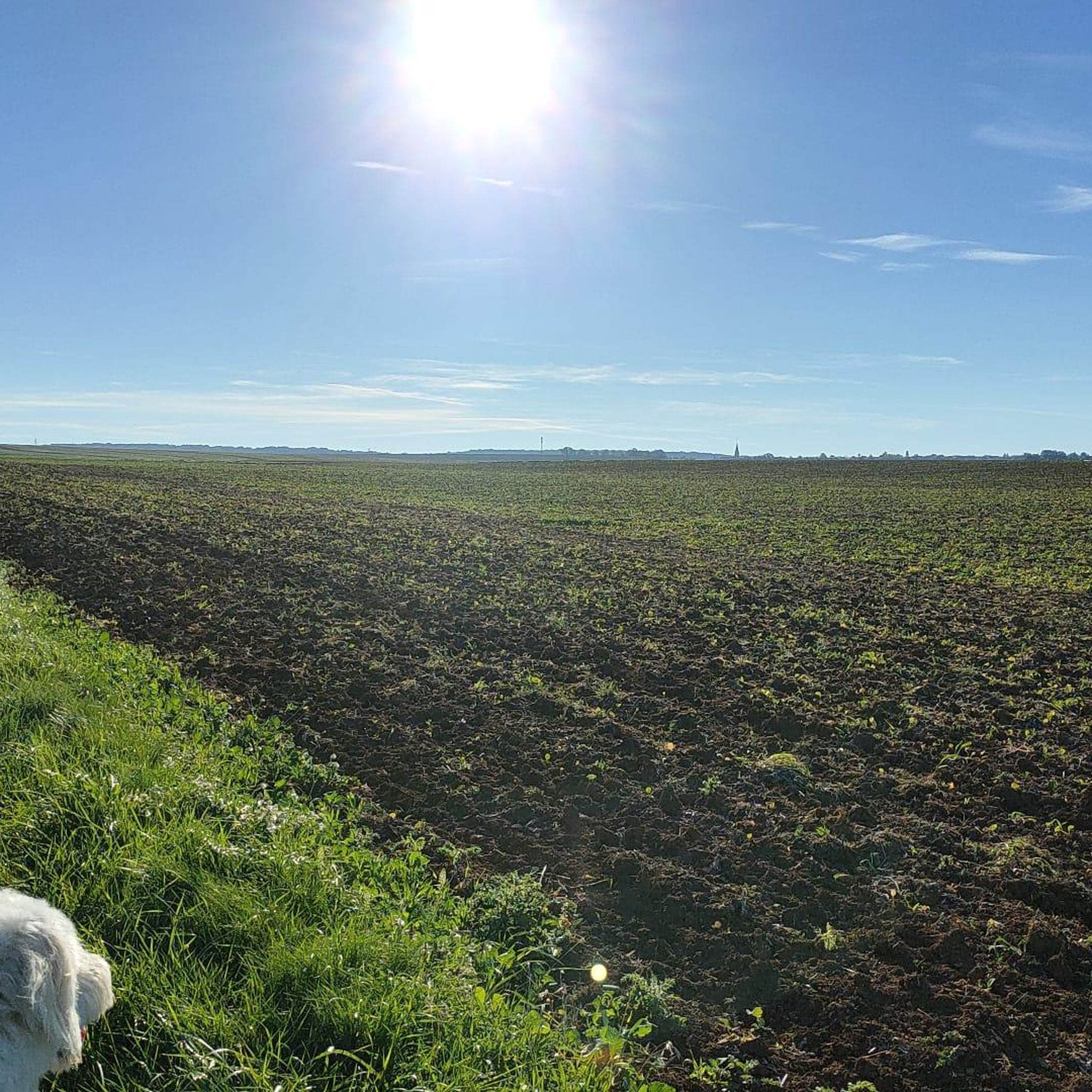
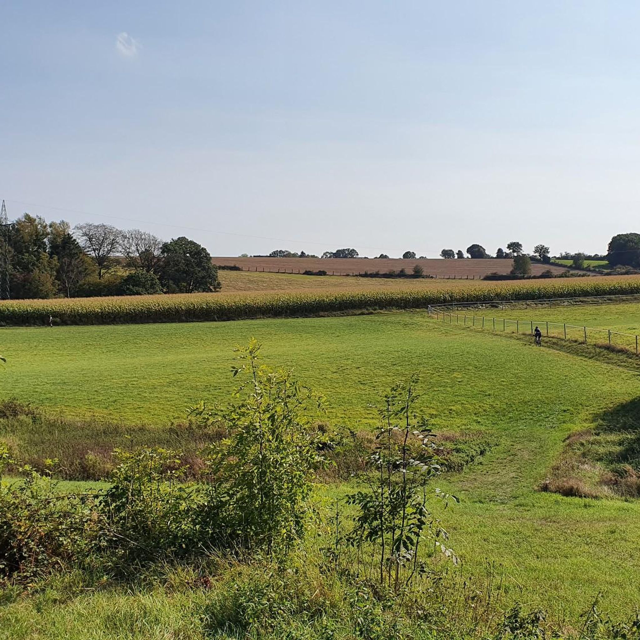
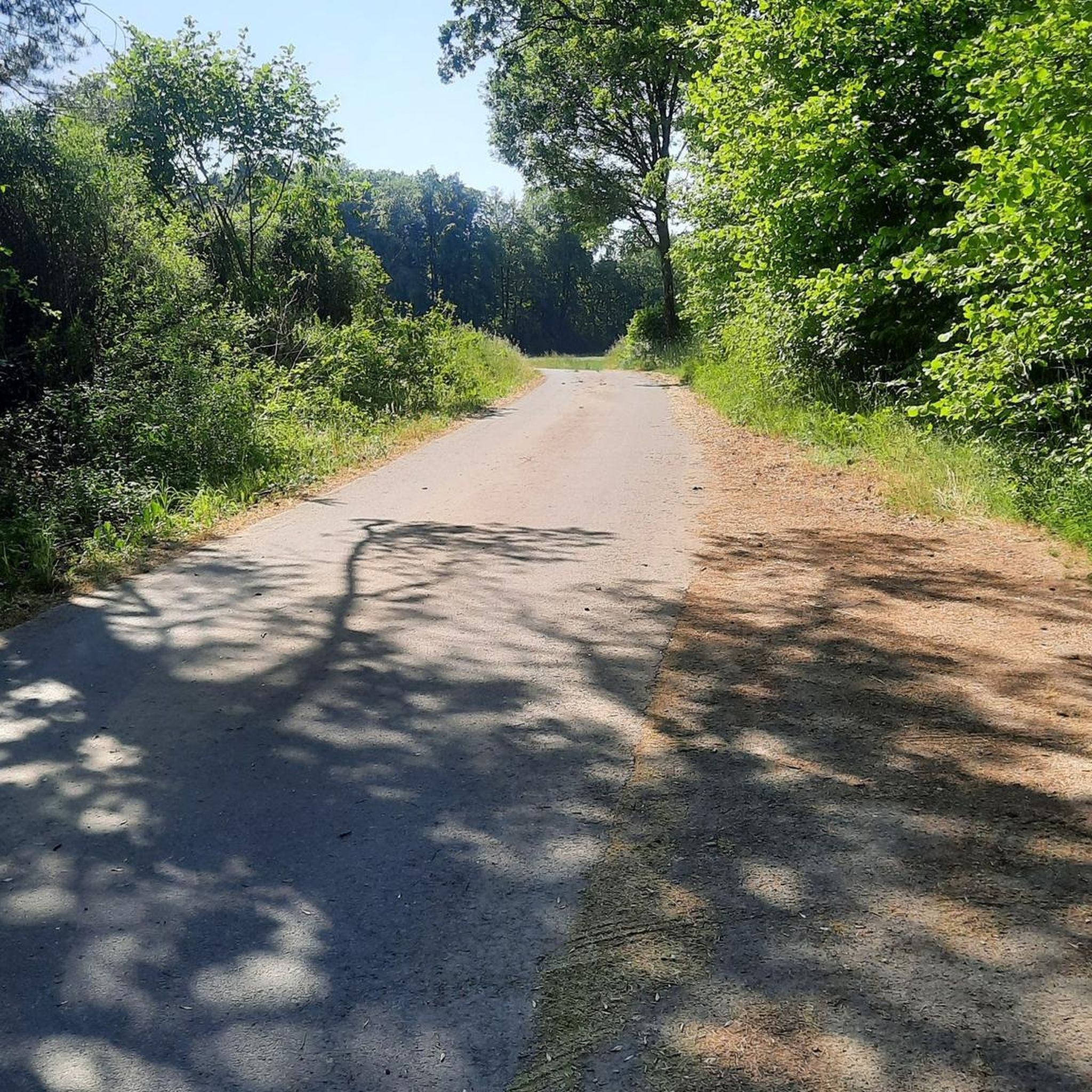
Mountain bike trails Sainte-Marie-Aux-Chênes are found within a commune in the Moselle department of northeastern France, characterized by undulating terrain with elevations ranging from 178 to 328 meters. This varied topography provides slopes and hills suitable for mountain biking experiences. The region features green countryside and wooded areas, offering diverse scenery for rides.
Best mountain bike trails around Sainte-Marie-Aux-Chênes
- The most popular mountain bike trail is Our Lady of Amanvillers – Botanical trail loop from Homécourt, a 35.3 miles…
Last updated: October 9, 2026
4.1
(16)
98
riders
32.4km
02:57
480m
480m
Moderate mountain bike ride. Good fitness required. Suitable for all skill levels.
4.7
(22)
176
riders
56.4km
05:00
890m
890m
Moderate mountain bike ride. Good fitness required. Suitable for all skill levels.

4.8
(13)
45
riders
27.8km
02:31
430m
430m
Moderate mountain bike ride. Good fitness required. Suitable for all skill levels.
4.0
(8)
24
riders
32.4km
02:38
300m
300m
Moderate mountain bike ride. Good fitness required. Suitable for all skill levels.
4.3
(3)
13
riders
20.4km
01:35
190m
190m
Easy mountain bike ride. Great for any fitness level. Suitable for all skill levels.
Get access to more routes and recommendations from other explorers.
Already have an account?
Our route recommendations are based on thousands of hikes, rides, and runs completed by other people on komoot.
Start today with a free account
Your next adventure awaits.

Tips from the Community

I confirm the crossing to M7 is still impassable by bike
0
0
An interesting site, especially thanks to the various information panels. The climb through the woods (more pleasant than the road, which is closed to traffic anyway) is enjoyable. However, it might seem a bit steep for those who aren't in good shape. There's a beautiful viewpoint at the top, and numerous trails allow you to extend the walk. The starting car park fills up quite quickly, but it's perfectly possible to park in the village, which is what we did. A sunny day is definitely preferable!
0
0

You're absolutely right – the tower in the picture is clearly made of metal, not wood. Thanks for pointing that out. Here's the corrected version: --- 🗼 Observation tower near Pierrevillers – A steel view Rising in the middle of the forest near Pierrevillers, a metal observation tower, with its open structure, offers a panoramic view of the Moselle Valley, the surrounding hills, and, on a clear day, even as far as Luxembourg. 🔩 The solid steel structure is accessible via several platforms and stairs and, despite its height, appears delicately embedded in the natural surroundings. **Tip:** Ideal in good weather – the view from the top is worth every climb and is perfect for a quiet moment or impressive photos.
1
1

Tricky descent a little further for a few meters if it has rained
0
0
A great route through the beautiful Lorraine forests, even starting from Maizieres and reaching point 23 after Marange. The only downside: another red card to the foresters who are really annoying to leave their cut trees across the paths: at point 10
0
0

A very nice place surrounded by nice singles.
1
0
Frequently Asked Questions
How many mountain bike trails are available in Sainte-Marie-Aux-Chênes?
There are over 130 mountain bike trails around Sainte-Marie-Aux-Chênes, offering a wide range of options for different skill levels. You'll find approximately 47 easy routes, 83 moderate routes, and 3 difficult routes to explore.
What kind of terrain can I expect on mountain bike trails in Sainte-Marie-Aux-Chênes?
The terrain around Sainte-Marie-Aux-Chênes is characterized by its undulating nature, with elevations ranging from 205 to 323 meters. You can expect a mix of green countryside and wooded areas, providing varied slopes and hills that make for engaging mountain biking experiences. The region's name, 'Saint Mary at the oaks,' hints at the presence of beautiful forested sections.
Are there any easy mountain bike routes suitable for beginners or families?
Yes, there are several easy mountain bike routes. For a pleasant ride, consider the CAYRE JEROME – Carrière de Jaumont loop from Roncourt, which is 21.2 km long and features a manageable elevation gain of around 195 meters. This route is a good option for those looking for a less strenuous experience.
What do other mountain bikers say about the trails in Sainte-Marie-Aux-Chênes?
The mountain bike trails in Sainte-Marie-Aux-Chênes are highly rated by the komoot community, with an average score of 4.4 stars from over 260 reviews. Many riders appreciate the varied terrain, from green countryside to wooded sections, and the options available for all difficulty levels.
Are there any long-distance mountain bike routes in the area?
Yes, for those seeking longer rides, Sainte-Marie-Aux-Chênes offers several extensive routes. The Our Lady of Amanvillers – Botanical trail loop from Homécourt is a challenging 56.9 km trail with significant elevation gain, typically taking over 5 hours to complete. Another substantial option is the moderate Along the Orne – Froicul-Trieux outing loop from Sainte-Marie-aux-Chênes, spanning 53.4 km and following the Orne river.
Can I find circular mountain bike routes in Sainte-Marie-Aux-Chênes?
Many of the mountain bike routes in the region are designed as loops, allowing you to start and finish at the same point. For example, the S-shaped descent in the forest – The Battle Beech loop from Amanvillers is a popular 25.7 km circular trail through forested areas. Another great loop is the Forest Singletrack Trail – Our Lady of Amanvillers loop from Sainte-Marie-aux-Chênes, covering 31.7 km.
What natural features or landmarks can I see along the mountain bike trails?
While riding the trails, you'll encounter the region's green countryside and wooded areas, characteristic of the Moselle department. You might also be able to visit nearby attractions such as the serene Plan d'Eau de la Sangsue, a local lake, or historical sites like Fort Saint-Quentin and the Mont Saint-Germain Archaeological Site, which are accessible from various points in the area.
Are there any specific trails that follow rivers or offer waterside views?
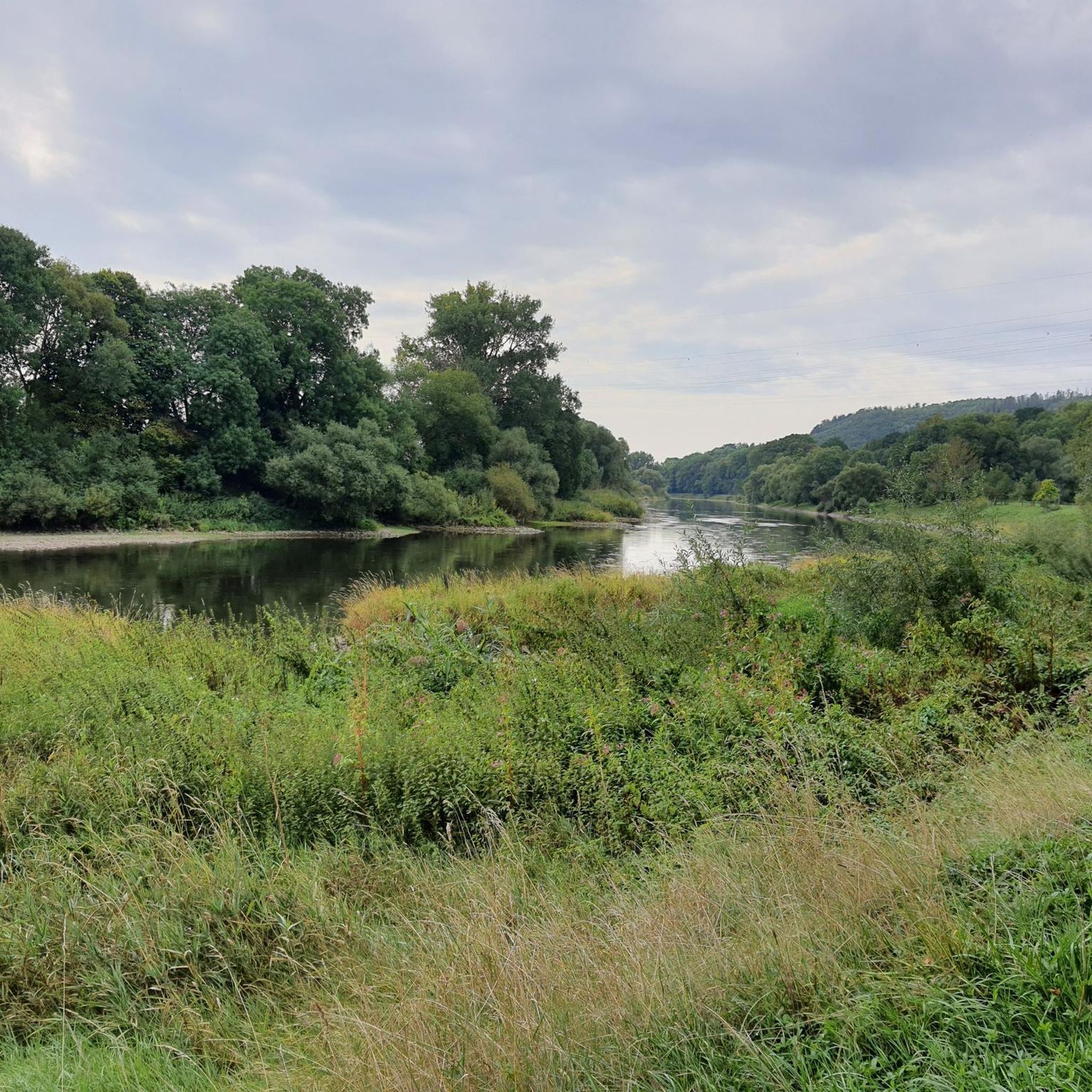
Yes, the Along the Orne – Froicul-Trieux outing loop from Sainte-Marie-aux-Chênes is a moderate 53.4 km route that follows the Orne river, offering scenic waterside sections and a mix of terrain.
What is the best time of year for mountain biking in Sainte-Marie-Aux-Chênes?
The green countryside and wooded areas of Sainte-Marie-Aux-Chênes are generally pleasant for mountain biking during spring, summer, and early autumn. These seasons offer favorable weather conditions and lush scenery. While winter riding is possible, be mindful of potential wet and muddy conditions on trails, especially in forested sections.
Are there any specific challenges or unique features on the more difficult trails?
The more difficult trails, such as the Our Lady of Amanvillers – Botanical trail loop from Homécourt, feature significant elevation gains and varied landscapes. These routes will test your endurance and technical skills with their undulating terrain and potentially more demanding descents and climbs through the region's hills and forests.
What kind of elevation changes can I expect on the mountain bike trails?
The region's topography is undulating, with elevations ranging from 205 to 323 meters. This means you can expect a mix of climbs and descents. For instance, a moderate route like the S-shaped descent in the forest – The Battle Beech loop from Amanvillers involves an elevation gain of nearly 400 meters, while more challenging routes can feature close to 900 meters of ascent.
Most popular routes around Sainte-Marie-Aux-Chênes
Most popular attractions around Sainte-Marie-Aux-Chênes

Get inspired with the komoot mobile app


Explore more
Browse the best MTB trails in other regions.
