The best walks and hikes around Uhrweiler
4.5
(1822)
8,468
hikers
420
hikes
Hiking trails around Uhrweiler are situated within the Bas-Rhin department of France, offering access to the North Vosges Regional Natural Reserve. This area features extensive ancient woodlands and lush landscapes, characterized by forested hills and gentle slopes. The region provides diverse terrain for hiking, including paths through mixed forests and routes that incorporate historical sites.
Best hiking trails around Uhrweiler
- The most popular hiking route is Eselsplatz Refuge – Zinswiller loop from Zinswiller, a 6.6 miles (10.6 km) trail…
Last updated: July 5, 2026
4.4
(8)
16
hikers
10.6km
03:02
250m
250m
Moderate hike. Good fitness required. Easily-accessible paths. Suitable for all skill levels.
5.0
(1)
10
hikers
18.6km
05:23
460m
460m
Hard hike. Very good fitness required. Easily-accessible paths. Suitable for all skill levels.

Sign up for free
19
hikers
7.85km
02:03
60m
60m
Moderate hike. Good fitness required. Easily-accessible paths. Suitable for all skill levels.
5.0
(1)
13
hikers
12.5km
03:21
140m
140m
Moderate hike. Good fitness required. Easily-accessible paths. Suitable for all skill levels.
5
hikers
10.5km
02:59
240m
240m
Moderate hike. Good fitness required. Easily-accessible paths. Suitable for all skill levels.
Get access to more routes and recommendations from other explorers.
Sign up for free
Already have an account?
Our route recommendations are based on thousands of hikes, rides, and runs completed by other people on komoot.
Start today with a free account
Your next adventure awaits.
Login or Signup
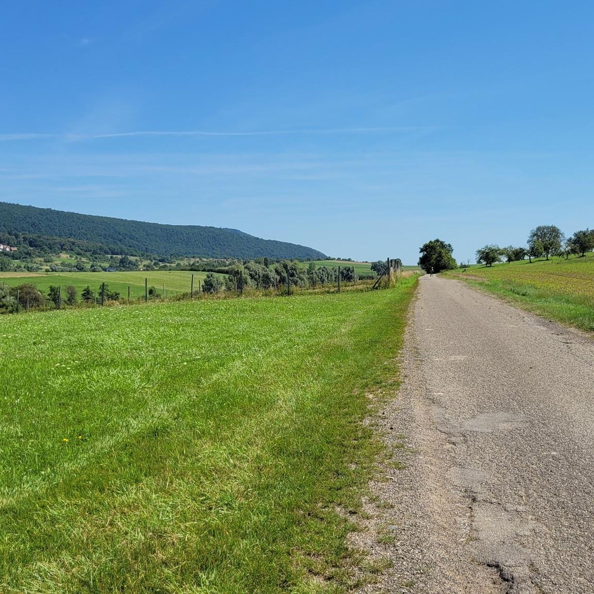
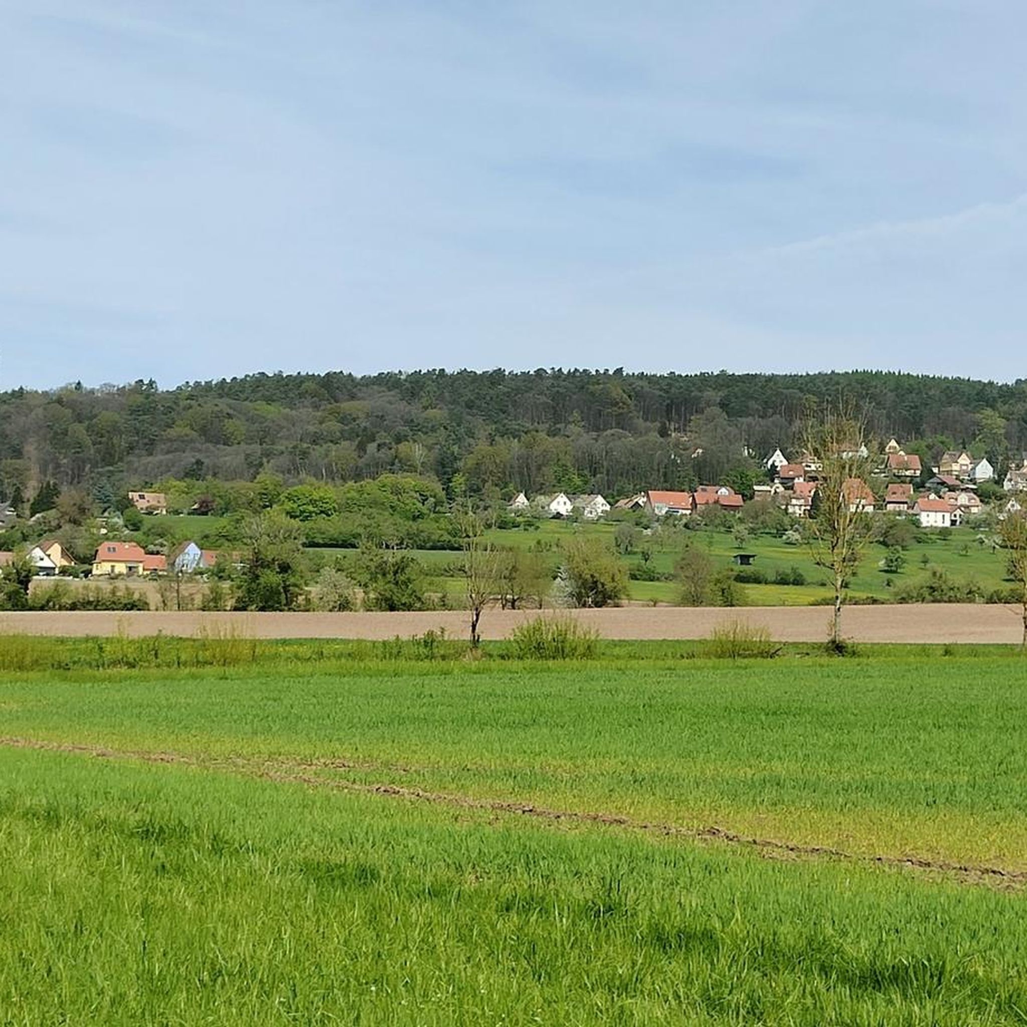
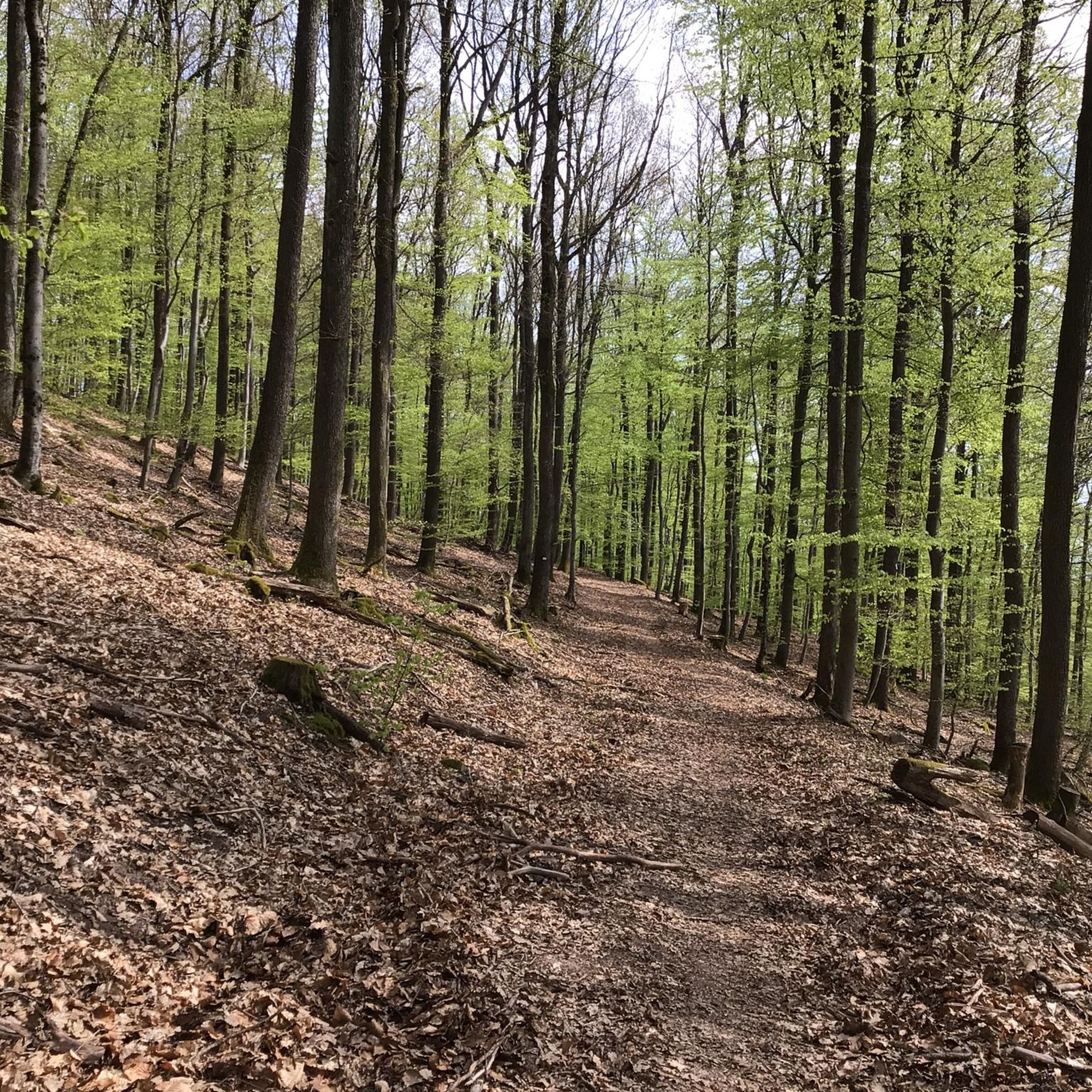
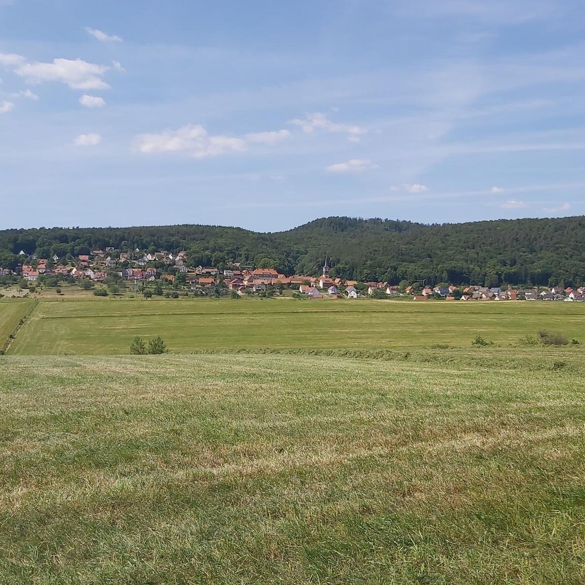

Tips from the Community

Worth seeing castle ruins.
0
0

This shelter is located in the middle of the forest. It's open and can accommodate 8 to 10 people. There are approximately 15 spots available outside.
0
0

From there you can see Ingwiller and fantastic meadow landscapes with the Northern Vosges in the background.
0
0

Additionally, there's now a brand-new shelter. Hopefully, it stays this nice and clean for as long as possible.
0
0

The Temple of Mercury is carved into a rock; you can only see the portal from the front; if you walk around the rock, you get the impression it's just a rock. Fascinating.
0
0
From Oberbronn, the trail to Buckelstein is relatively steep. You climb steps, but they are well-secured. There are impressive rock formations and a viewpoint.
0
0
Frequently Asked Questions
How many hiking trails are available around Uhrwiller?
There are nearly 400 hiking routes around Uhrwiller, offering a wide variety of options for all skill levels. This includes over 150 easy trails, nearly 200 moderate routes, and 40 difficult paths.
What kind of landscapes can I expect to see while hiking near Uhrwiller?
Hiking around Uhrwiller offers diverse landscapes within the North Vosges Regional Natural Reserve. You'll encounter extensive ancient woodlands, lush forests with a mix of trees like European Redwood and oak, and gentle, easy-to-climb slopes. Some routes also feature rocky formations, river paths, and panoramic views over the Rhine plain.
Are there any family-friendly hiking options in the area?
Yes, Uhrwiller offers many family-friendly hiking options, particularly among the 159 easy routes available. These trails often traverse gentle forest paths, ideal for a leisurely walk with children. While specific 'family' routes aren't highlighted, the abundance of easy trails provides suitable choices.
Can I find circular hiking routes around Uhrwiller?
Absolutely. Many of the trails around Uhrwiller are designed as loops. For example, the Hiking loop from Bitschhoffen is a moderate 8.1 km (5.0 miles) route through varied natural scenery. Another popular option is the Eselsplatz Refuge – Zinswiller loop from Zinswiller, which is 10.6 km (6.6 miles) and traverses typical North Vosges forested areas.
What historical sites or landmarks can I explore on a hike?
The region is rich in historical significance. You can incorporate sites like Lichtenberg Castle, a notable attraction offering both historical interest and scenic views. The Mercury Rock Temple – Wasenbourg Castle loop from Zinswiller is a challenging 18.7 km (11.6 miles) trail that includes historical castle ruins like Wasenbourg Castle and the Mercury Rock Temple, offering views over the surrounding landscape.
Are there any long-distance hiking trails or more challenging routes?
Yes, for those seeking a challenge, there are 40 difficult routes around Uhrwiller. The Mercury Rock Temple – Wasenbourg Castle loop from Zinswiller is a difficult 18.7 km (11.6 miles) path that includes significant elevation changes. Another longer, moderate option is the Graebelsbrunnen Fountain – Buckelstein loop from Zinswiller, covering 17 km (10.6 miles).
What do other hikers say about the trails around Uhrwiller?
The hiking routes in Uhrwiller are highly rated by the komoot community, with an average score of 4.5 stars from over 1,500 reviews. Hikers often praise the serene ancient forests, the diverse terrain, and the well-maintained paths that lead to historical landmarks and scenic viewpoints.
Are there places to stop for a break or find shelter along the trails?
Yes, the area includes several huts and refuges that can serve as resting points. For instance, the Eselsplatz Refuge is a notable spot, and the Eselsplatz Refuge – Zinswiller loop from Zinswiller route passes by it. Other options include Ferme Mellon and the Col de l'Ungerthal Refuge and Picnic Area.
Are there any trails that offer particularly scenic viewpoints?
Many trails in the North Vosges region lead to viewpoints that provide breathtaking views. The area is known for expansive vistas across the surrounding landscape, often from historical sites like castle ruins. For example, the Mercury Rock Temple – Wasenbourg Castle loop from Zinswiller offers views over the surrounding landscape, and the Grand Wintersberg is a prominent summit known for its panoramas.
What is the best time of year to go hiking in Uhrwiller?
The North Vosges Regional Natural Reserve, where Uhrwiller is located, is beautiful throughout the year. Spring and autumn offer pleasant temperatures and vibrant foliage, making them ideal for hiking. Summer provides longer daylight hours, while winter can offer a unique experience with snow-covered ancient woodlands, though some trails might be more challenging.
Are there any specific trails recommended for beginners?
Beginners will find plenty of suitable options among the 159 easy trails around Uhrwiller. These routes typically feature gentle slopes and well-defined paths, perfect for those new to hiking or looking for a relaxed walk. While specific beginner routes aren't named here, any of the 'easy' rated tours on komoot would be a great starting point.
Most popular routes around Uhrweiler
Most popular attractions around Uhrweiler

Get inspired with the komoot mobile app


Explore more
Browse the best Hikes in other regions.
