The best walks and hikes around Kappelkinger
4.6
(617)
2,509
hikers
133
hikes
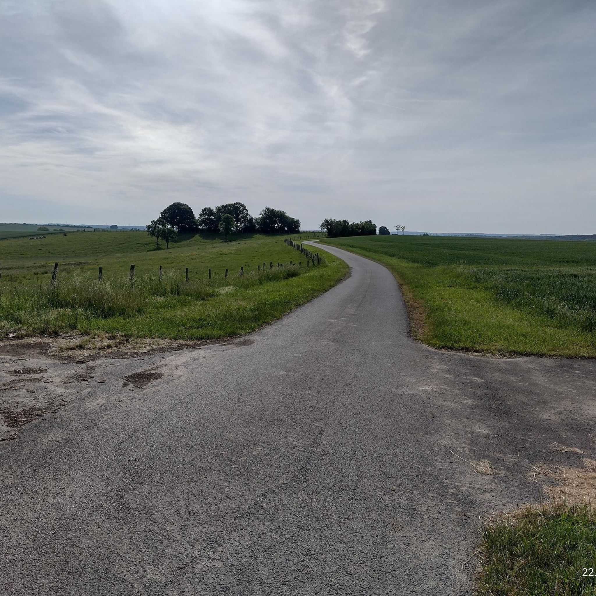
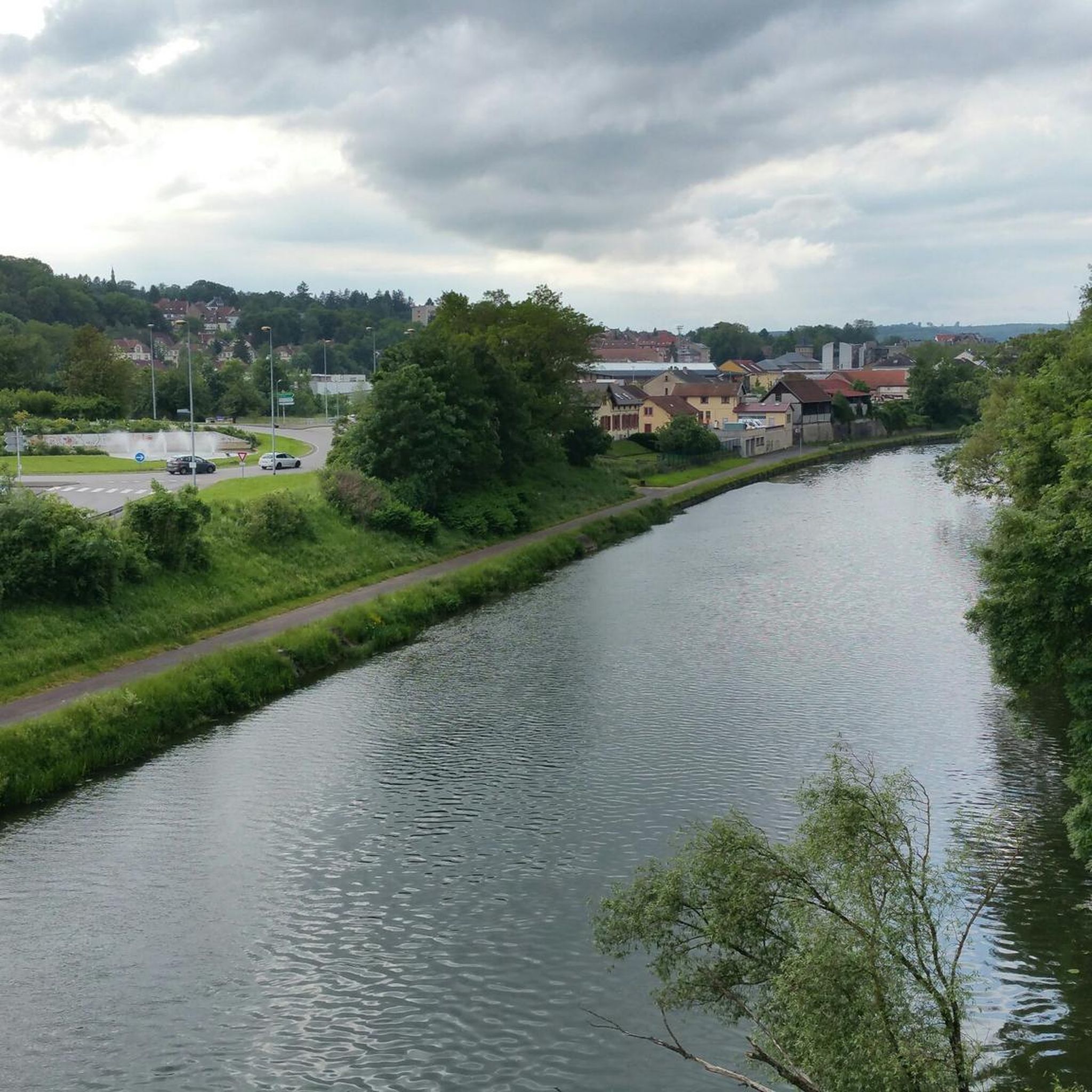
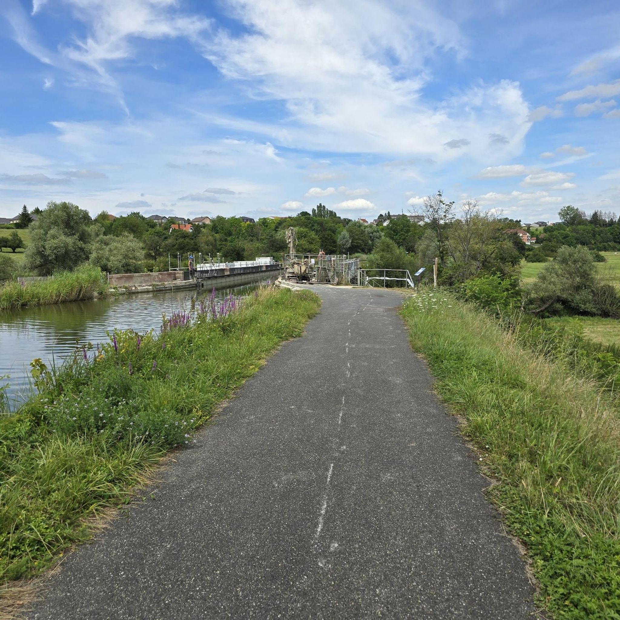
Hiking around Kappelkinger offers diverse landscapes within the Albe Valley, characterized by serene pastures, expansive fields, and protected natural areas. The region features a mix of rural scenery, including grazing lands and historical architecture. Trails often traverse lush green environments, with some routes following former railway lines or passing through significant wetlands like the Lempich Marsh. The terrain generally includes gentle elevations, making it accessible for various hiking abilities.
Best hiking trails around Kappelkinger
- The most popular hiking route is…
Last updated: May 25, 2026
4.8
(90)
287
hikers
8.26km
02:07
40m
40m
Moderate hike. Good fitness required. Easily-accessible paths. Suitable for all skill levels.
4.6
(39)
200
hikers
7.72km
02:00
40m
40m
Easy hike. Great for any fitness level. Easily-accessible paths. Suitable for all skill levels.

Sign up for free
4.0
(1)
16
hikers
9.01km
02:21
60m
60m
Moderate hike. Good fitness required. Easily-accessible paths. Suitable for all skill levels.
5.0
(1)
11
hikers
4.46km
01:10
30m
30m
Easy hike. Great for any fitness level. Easily-accessible paths. Suitable for all skill levels.
5.0
(2)
11
hikers
9.58km
02:30
60m
70m
Moderate hike. Good fitness required. Easily-accessible paths. Suitable for all skill levels.
Get access to more routes and recommendations from other explorers.
Sign up for free
Already have an account?
Our route recommendations are based on thousands of hikes, rides, and runs completed by other people on komoot.
Start today with a free account
Your next adventure awaits.
Login or Signup


Tips from the Community

The Marais de Rémering-lès-Puttelange pond is renowned for its natural setting and attracts visitors year-round. This pond is part of the "Aquatic Maginot Line," a defensive flooding system consisting of six ponds, from Hoste to Holving, created in 1934. In just a few years, this military pond has been transformed into a recreational area.
0
0

Hirbach Pond blends history and nature. A remnant of the former aquatic Maginot Line, it is now a popular spot for outdoor recreation. Its municipal campsite, open from April to October, offers an ideal setting for a waterfront stay.
0
0

Beautiful hike combining villages, forests and ponds on mostly tarmacked or gravel paths.
0
0


The beauty and strength of nature
0
0

"This pedunculate oak was named after Joseph Ehrlich, who loves the forest, where he has been working for more than 40 years. In 1993, the oak had a height of 26m and a circumference of 333cm. Age was estimated at 250 years in 1993. "
0
0
Frequently Asked Questions
How many hiking trails are available around Kappelkinger?
Kappelkinger offers over 130 hiking trails, providing a wide range of options for different preferences and skill levels. The komoot community has explored over 2,300 routes in the area.
What are the typical difficulty levels of hikes in Kappelkinger?
The trails around Kappelkinger primarily feature easy and moderate difficulty levels, with over 60 easy routes and nearly 70 moderate ones. There are also a few more challenging options for experienced hikers. The terrain generally includes gentle elevations, traversing serene pastures and lush valleys.
What natural features or landmarks can I expect to see on hikes near Kappelkinger?
Hiking in Kappelkinger allows you to discover diverse natural features. You can encounter the protected Lempich Marsh, a crucial site for local biodiversity, and the majestic 13th-century pedunculated oak near Petit-Rohrbach. Many routes also traverse the tranquil pastures and the unspoiled nature of the Albe Valley.
Are there any family-friendly hiking options in Kappelkinger?
Yes, Kappelkinger offers several family-friendly hiking options, particularly the easy routes that wind through fields and along former railway lines. The gentle terrain and picturesque rural scenery make them suitable for all ages. For example, the Fishing spots at the pond – Marsh Pond loop from Hilsprich is an easy 7.7 km path that explores local ponds and the Lempich Marsh.
Are dogs allowed on the hiking trails in Kappelkinger?
Generally, dogs are welcome on the hiking trails around Kappelkinger. The region's expansive fields and rural landscapes provide ample space for walks with your canine companion. However, it's always advisable to keep dogs on a leash, especially when passing through pastures with grazing animals or protected natural areas like the Lempich Marsh, to protect local wildlife.
What is the best time of year to go hiking in Kappelkinger?
The best time to hike in Kappelkinger is typically during spring, summer, and early autumn. Spring brings blooming wildflowers, including the Incarnate Orchid in the Lempich Marsh, while summer offers lush green landscapes. Autumn provides pleasant temperatures and beautiful foliage. The region's mild climate makes it enjoyable for outdoor activities for much of the year.
Are there any circular hiking routes available in Kappelkinger?
Yes, many of the trails around Kappelkinger are circular, allowing you to start and end your hike in the same location. An example is the Farms loop from Le Val-de-Guéblange, a 9 km route through rural landscapes. These loops are ideal for exploring the diverse scenery without retracing your steps.
What kind of scenery can I expect on a hike through the Albe Valley?
Hiking through the Albe Valley, where Kappelkinger is situated, offers unspoiled nature and lush green landscapes. You'll experience authentic rural scenery with expansive fields, peaceful pastures where sheep and cows graze, and charming half-timbered houses. Some paths follow former railway lines, adding a unique historical element to the natural beauty.
What do other hikers enjoy most about hiking in Kappelkinger?
The hiking trails in Kappelkinger are highly rated by the komoot community, with an average score of 4.6 stars. Hikers often praise the tranquil pastures, the diverse natural scenery, and the well-maintained paths that make for a refreshing and immersive experience in nature.
Are there any historical sites or cultural points of interest along the trails?
Beyond the natural beauty, Kappelkinger offers glimpses into local heritage. You can admire charming half-timbered houses and the historic Saint-Jacques Church, which dates back to 1733, within the village itself. The ancient 13th-century oak tree also stands as a living witness to the area's long history.
Can I access Kappelkinger's hiking trails using public transport?
While specific public transport details for trailheads can vary, Kappelkinger is part of the broader Moselle department. For detailed information on bus routes or other public transport options to reach Kappelkinger or specific starting points, it's best to consult local transport authorities or regional tourism websites.
Are there any longer, more challenging hikes in the Kappelkinger area?
While Kappelkinger is known for its easy to moderate trails, there are options for longer hikes. For instance, the Hirbach Pond – Honnert Oak Tree loop from Le Val-de-Guéblange is a moderate 13 km route. The region also connects to the larger Lorraine Regional Natural Park, which offers over 500 km of groomed trails, including more challenging sections.
Most popular routes around Kappelkinger
Most popular attractions around Kappelkinger

Get inspired with the komoot mobile app


Explore more
Browse the best Hikes in other regions.
