The best running trails around Obersulzbach
4.4
(55)
2,352
runners
216
runs
Jogging routes around Obersulzbach offer a diverse landscape for runners. The region is characterized by its varied terrain, including forested areas and gentle hills, providing a mix of natural surfaces. Many running routes traverse woodlands and open fields, with some paths following small streams. The elevation changes are generally moderate, making it suitable for a range of fitness levels.
Best jogging routes around Obersulzbach
- The most popular jogging route is Sentier géologique du Bastberg — loop — running from Bouxwiller…
Last updated: July 5, 2026
4.0
(1)
8
runners
5.17km
00:38
80m
80m
Moderate run. Good fitness required. Mostly accessible paths. Some sure footedness required.
36
runners
7.78km
00:50
60m
60m
Moderate run. Good fitness required. Mostly paved surfaces. Suitable for all skill levels.

Sign up for free
5.0
(1)
24
runners
12.4km
01:23
190m
190m
Moderate run. Good fitness required. Mostly paved surfaces. Suitable for all skill levels.
29
runners
9.99km
01:03
50m
50m
Moderate run. Good fitness required. Mostly paved surfaces. Suitable for all skill levels.
47
runners
40.5km
05:16
1,150m
1,150m
Hard run. Very good fitness required. Mostly paved surfaces. Suitable for all skill levels.
Get access to more routes and recommendations from other explorers.
Sign up for free
Already have an account?
Our route recommendations are based on thousands of hikes, rides, and runs completed by other people on komoot.
Start today with a free account
Your next adventure awaits.
Login or Signup

Tips from the Community

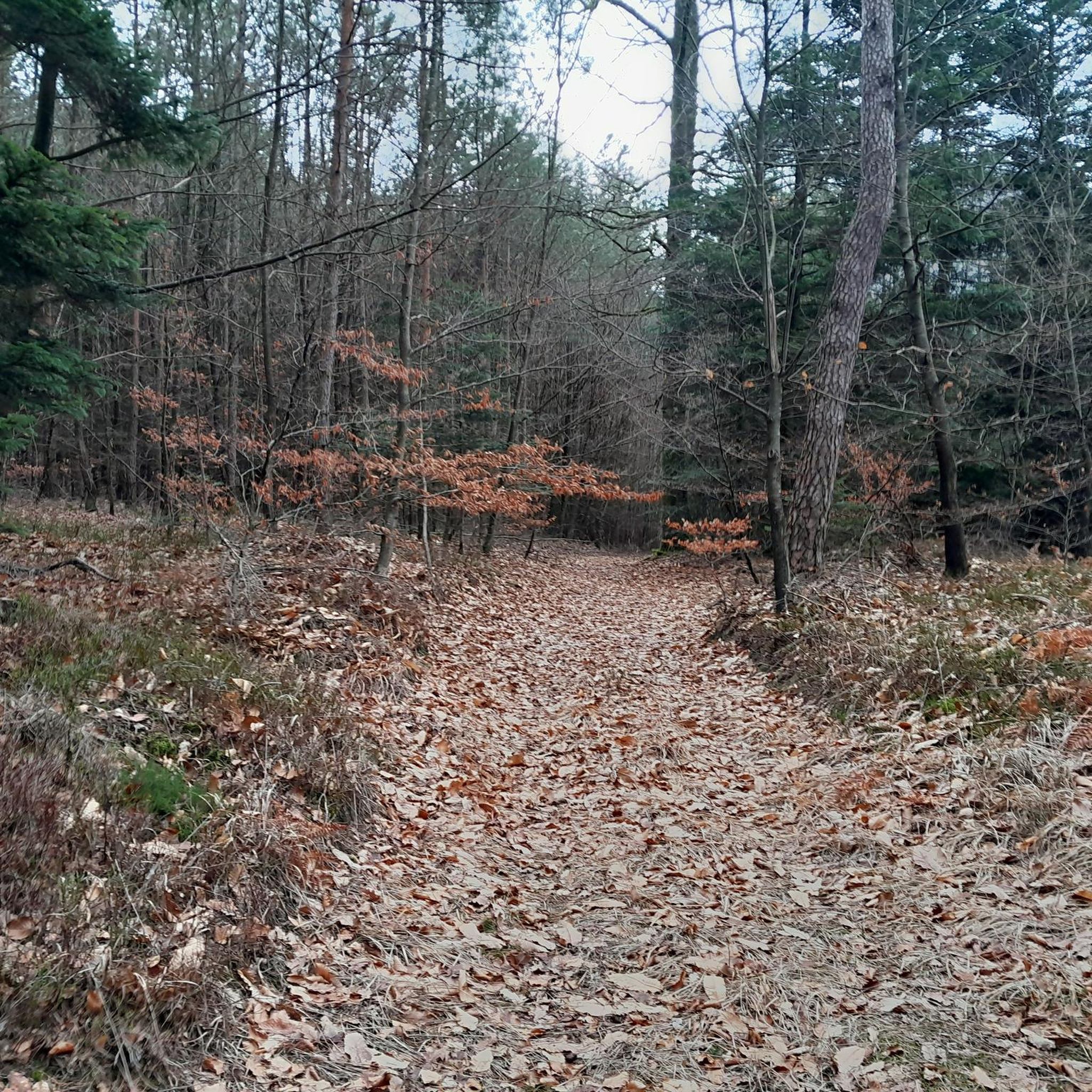
A great destination for a short hike or a mountain bike tour. There are several information boards in the area with all sorts of details. 👍
1
0

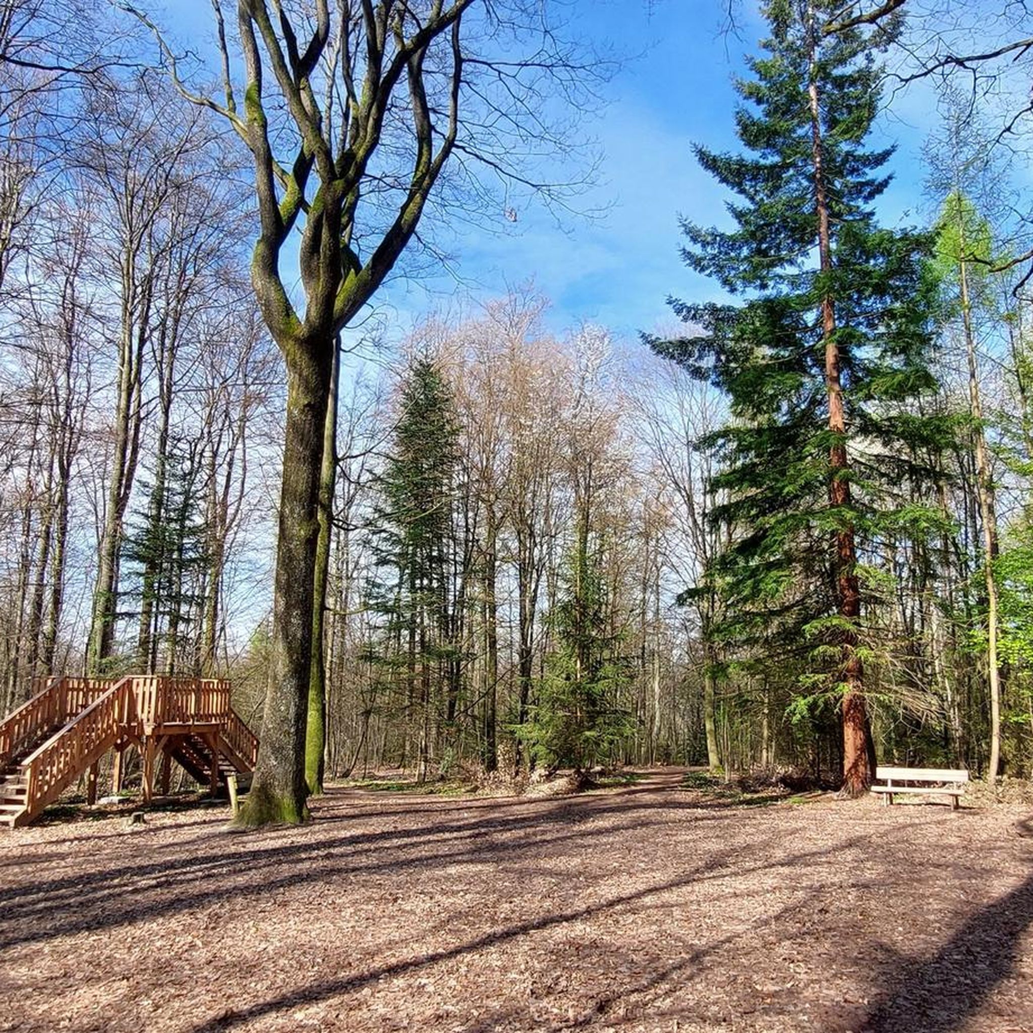
This shelter is located in the middle of the forest. It's open and can accommodate 8 to 10 people. There are approximately 15 spots available outside.
0
0

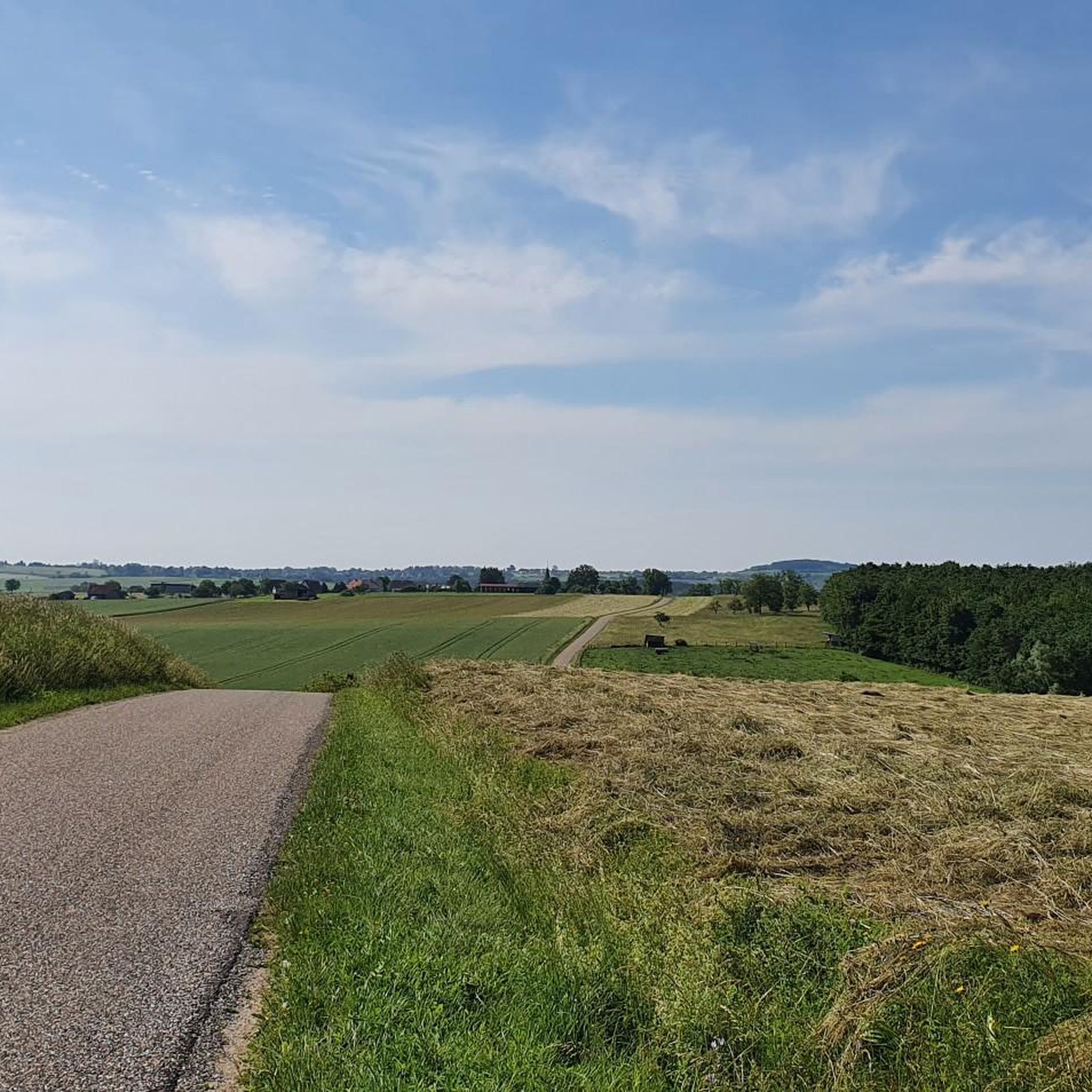
From there you can see Ingwiller and fantastic meadow landscapes with the Northern Vosges in the background.
0
0


Very worth seeing restored castle with fantastic panoramic views.
2
1

Can be used as a shelter in bad weather.
0
0

Lichtenberg Castle is 800 years of history and superb panoramas of the Northern Vosges regional natural park brought together in an exceptional setting. As you walk around, you can read through the architecture the Gothic and Renaissance imprint of the building.
2
0

This place has a lovely view over the surrounding area, has picknick benches for a proper lunch or bikepackingdinner. We even rolled out our bivi's and spend the night. TIP the cemetery provided water and we found this very convenient on our trip!
0
0
Frequently Asked Questions
How many running routes are available in the Obersulzbach region?
There are over 180 running routes around Obersulzbach, offering a wide variety of options for different preferences and fitness levels. The komoot community has explored these trails extensively, with more than 1600 runners using the platform to discover the area.
Are there easy running routes suitable for beginners in Obersulzbach?
Yes, Obersulzbach offers several easy jogging routes perfect for beginners or those looking for a relaxed run. There are 4 routes specifically categorized as easy, with many moderate trails also having gentle elevation changes suitable for a range of abilities.
What kind of terrain can I expect on the jogging trails around Obersulzbach?
The running trails in Obersulzbach feature a diverse landscape, primarily characterized by forested areas and gentle hills. You'll find a mix of natural surfaces, with many paths traversing woodlands and open fields, and some following small streams. The elevation changes are generally moderate.
Are there any circular running routes in Obersulzbach?
Yes, many of the running routes in Obersulzbach are circular, allowing you to start and end at the same point. For example, the Sentier géologique du Bastberg — loop — running from Bouxwiller and the Reiherwald loop from Bouxwiller are popular loop options.
What do other runners enjoy most about jogging in Obersulzbach?
The running routes in Obersulzbach are highly rated by the komoot community, with an average score of 4.4 stars from nearly 40 reviews. Runners often praise the tranquil atmosphere of the woodlands, the varied terrain, and the well-maintained paths that offer a pleasant experience.
Are there any scenic viewpoints along the running routes?
Yes, the region offers several scenic spots. While jogging, you might encounter natural monuments and viewpoints. For example, the Englishberg West Viewpoint is one such highlight where you can enjoy panoramic views.
Can I find running routes that pass by historical sites or landmarks?
Absolutely. The Obersulzbach area is rich in history. Some routes may take you near impressive structures like Lichtenberg Castle or Warthenberg Castle, offering a blend of exercise and cultural exploration. The Lichtenberg Castle – Lichtenberg Castle loop from Ingwiller is a longer, challenging route that passes by the castle.
Are there any running trails suitable for families with children?
Many of the easier and moderate routes with less significant elevation changes are suitable for families. The varied terrain, including woodlands and open fields, provides an engaging environment for children. Look for routes with shorter distances and gentler slopes for a family-friendly experience.
Are dogs allowed on the jogging trails in Obersulzbach?
Generally, dogs are welcome on most trails in natural areas around Obersulzbach, especially in the forested sections. However, it's always advisable to keep your dog on a leash, especially in areas with wildlife or near agricultural land, and to check local regulations for specific paths or nature reserves.
What are some longer running routes for more experienced runners?
For experienced runners seeking a challenge, routes like the Lichtenberg Castle – Lichtenberg Castle loop from Ingwiller offer significant distance and elevation gain. This difficult 37.8 km (23.5 mi) trail provides a substantial workout through varied terrain.
Are there any natural attractions or unique geological features to see while running?
Yes, the region boasts interesting natural features. The Sentier géologique du Bastberg — loop — running from Bouxwiller, for instance, is known for its geological formations. You can also find highlights like Ochsenstall Rock and Grotte d'Amour in the wider area.
Are there any running routes that pass by bodies of water?
Some running paths in Obersulzbach follow small streams, offering a refreshing element to your run. You might also find routes that pass near small ponds or lakes, such as Lach Pond, providing picturesque views and a chance to enjoy the water's edge.
Most popular routes around Obersulzbach
Most popular attractions around Obersulzbach

Get inspired with the komoot mobile app


Explore more
Browse the best Running Trails & Routes in other regions.
