The best walks and hikes around Hesdigneul-Lès-Béthune
4.5
(883)
4,818
hikers
390
hikes
Hiking around Hesdigneul-Lès-Béthune offers a blend of natural landscapes and reclaimed industrial heritage in the Pas-de-Calais department. The terrain features a mix of valleys, plateaus, and wooded areas, with altitudes ranging from 32 to 61 meters. Hikers can explore former mining areas, such as terrils (slag heaps) and old railway lines, which have been repurposed into trails. Waterways like the Fossé d'Avesnes also traverse the commune, contributing to varied walking experiences.
Best hiking trails around Hesdigneul-Lès-Béthune
- The most popular hiking…
Last updated: June 26, 2026
4.8
(18)
175
hikers
Moderate hike. Good fitness required. Easily-accessible paths. Suitable for all skill levels.
4.7
(74)
115
hikers
11.7km
03:00
50m
50m
Moderate hike. Good fitness required. Easily-accessible paths. Suitable for all skill levels.

Sign up for free
4.8
(45)
74
hikers
9.03km
02:21
50m
50m
Moderate hike. Good fitness required. Easily-accessible paths. Suitable for all skill levels.
5.0
(6)
67
hikers
Moderate hike. Good fitness required. Easily-accessible paths. Suitable for all skill levels.
4.5
(6)
58
hikers
11.4km
02:58
80m
80m
Moderate hike. Good fitness required. Easily-accessible paths. Suitable for all skill levels.
Get access to more routes and recommendations from other explorers.
Sign up for free
Already have an account?
Our route recommendations are based on thousands of hikes, rides, and runs completed by other people on komoot.
Start today with a free account
Your next adventure awaits.
Login or Signup

Tips from the Community

charming little church with some old houses nearby giving it a nice little character.
0
0


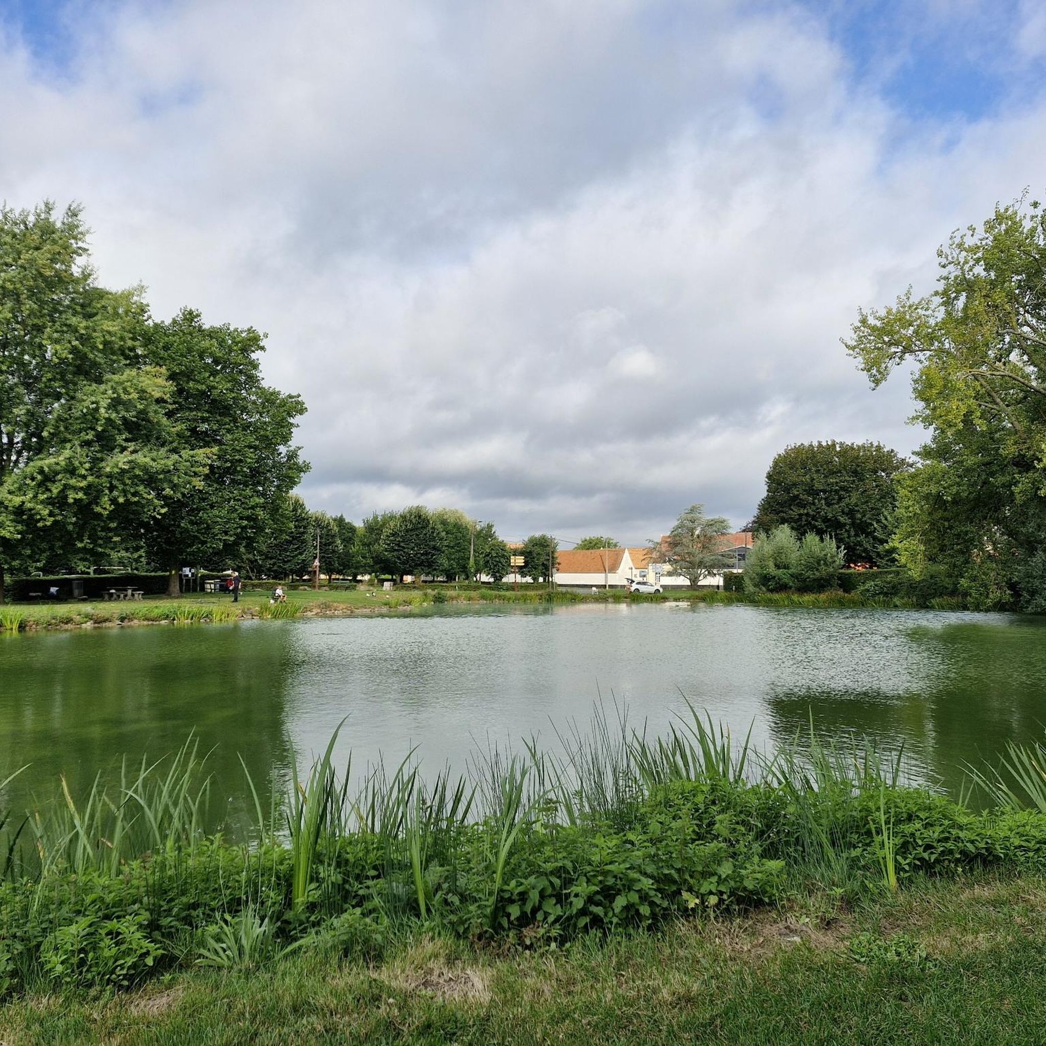
Magnificent, unspoiled natural setting, ideal for walks and hikes. Departure from the "cuisse maraune" (Maraune thigh) to the Chartreuses de Gosnay and the Bois des Dames de Bruay-la-Buissière. Open year-round. Fishing and hiking. Free access.
0
0


Very good place with great paths
0
0

This bridge under the railway connects 2 "nature" areas of the Annezin marsh to be explored by mountain bike or gravel. These 2 sectors are full of paths, singletracks allowing you to reach either Béthune or head south
2
0

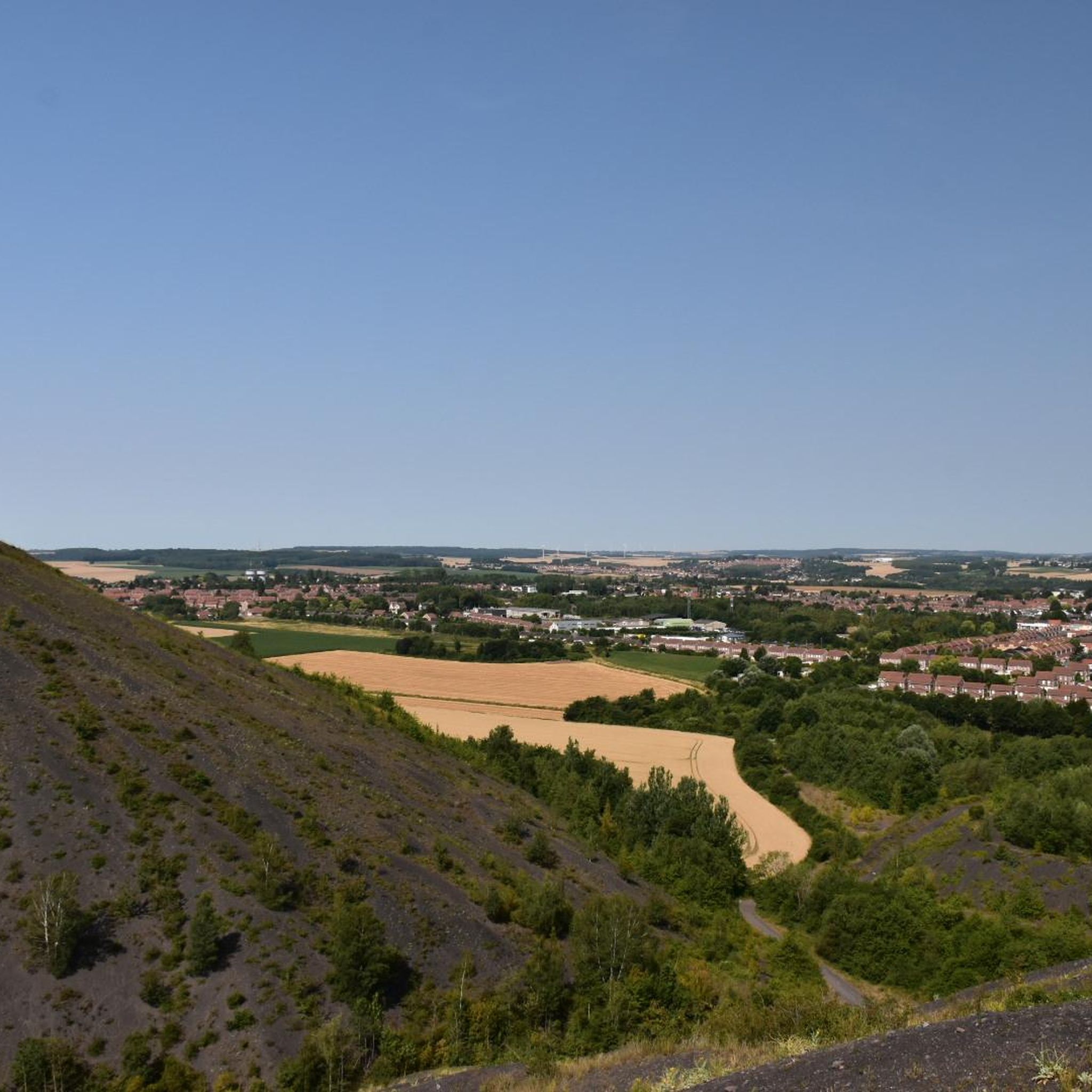
one of the highest in the north
1
0
and its brick canal
0
0
Frequently Asked Questions
How many hiking trails are available around Hesdigneul-Lès-Béthune?
There are over 370 hiking trails around Hesdigneul-Lès-Béthune. These routes offer a variety of experiences, from easy strolls to more challenging treks, catering to different fitness levels.
What kind of terrain and difficulty can I expect on the hiking trails?
The terrain around Hesdigneul-Lès-Béthune is diverse, featuring valleys, plateaus, and wooded areas. You'll find a mix of easy, moderate, and some difficult trails. Specifically, there are over 160 easy routes, nearly 200 moderate routes, and 18 more challenging options, often incorporating former mining areas like terrils and old railway lines.
What unique natural features or landmarks can I discover while hiking here?
The region is characterized by its blend of natural landscapes and reclaimed industrial heritage. You can explore former mining areas, known as terrils (slag heaps), and old railway lines that have been repurposed into hiking paths. Waterways like the Fossé d'Avesnes also traverse the commune. Notable natural features include the Bois de Roquelaure and various river and marsh areas. For specific viewpoints, consider The belvedere at Olhain Park or Terril Number 5 of Lapugnoy.
Are there any family-friendly hiking routes in the area?
Yes, there are many family-friendly options. The region offers numerous easy loops suitable for families. For example, the "Circuit des Marlettes" is an 8 km family-friendly route that combines country roads, towpaths, and agricultural tracks. Another easy option is the Hiking loop from Haillicourt, which is 4.5 km long and typically takes just over an hour.
Can I find circular hiking routes around Hesdigneul-Lès-Béthune?
Many of the trails in the area are circular, allowing you to start and end at the same point. A popular moderate circular route is The steps of Spoil Tip No. 2 – Terrils 2 and 3 d'Haillicourt loop from Haillicourt, which is 8.4 km long and explores the unique landscape of former mining spoil tips.
What are some interesting historical sites or attractions near the hiking trails?
Beyond the natural beauty, you can explore historical sites. Olhain Castle, a well-preserved medieval castle, is a significant attraction. You might also encounter The Caucourt Ford and Watermill, offering a picturesque spot. The terrils themselves are historical remnants of the region's mining past, now reclaimed by nature.
Are there any trails that showcase the region's mining heritage?
Absolutely. The region is famous for its 'terrils' (slag heaps) and old mining railway lines, which have been transformed into hiking paths. Routes like Terrils 2 and 3 d'Haillicourt – Chamois trail loop from Bruay-la-Buissière specifically focus on these unique features, offering a glimpse into the area's industrial past alongside its natural beauty.
What do other hikers say about the trails in Hesdigneul-Lès-Béthune?
The routes in Hesdigneul-Lès-Béthune are highly rated by the komoot community, with an average score of 4.5 stars from over 700 reviews. Hikers often praise the varied terrain, the unique blend of natural and industrial landscapes, and the well-maintained paths that offer options for all skill levels.
Are there any trails that pass through marshlands or along rivers?
Yes, several routes incorporate the region's waterways and marshlands. For instance, the Marais d'Annezin – Bridge under the railroad loop from Gosnay is a moderate 11.7 km path that leads through marshlands and under railway bridges, offering a mix of natural and man-made features.
Are there any longer, more challenging routes for experienced hikers?
For those seeking a longer challenge, the "Longue boucle entre Fouquereuil et Bruay" is a more demanding 21.15 km route, typically taking around 6.5 hours. This trail integrates the region's mining past with nature, utilizing an old mining railway line and passing through the Bois des Dames.
Is there parking available at the trailheads?
While specific parking details vary by trailhead, many popular hiking areas and starting points in the Hesdigneul-Lès-Béthune region, especially those near villages or attractions, generally offer designated parking facilities. It's advisable to check the route details on komoot for specific parking information for your chosen trail.
Can I reach hiking trails using public transport?
Public transport options to reach trailheads can be limited in some rural areas. However, larger towns like Béthune, which is close to Hesdigneul-Lès-Béthune, serve as transport hubs. From there, local bus services might connect to some villages near trail starting points. Checking local bus schedules is recommended for specific routes.
Most popular routes around Hesdigneul-Lès-Béthune
Most popular attractions around Hesdigneul-Lès-Béthune

Get inspired with the komoot mobile app


Explore more
Browse the best Hikes in other regions.
