The best MTB trails around Hautefond
4.0
(19)
49
riders
43
rides
Mountain biking around Hautefond offers diverse terrain characterized by a mix of wooded areas, pastures, and routes along rivers and canals. The region's topography includes varied elevations, providing options for different skill levels. Trails often follow waterways, offering scenic views and a blend of natural landscapes. This area provides a network of paths suitable for exploring the French countryside on two wheels.
Best mountain bike trails around Hautefond
- The most popular mountain bike trail is Digoin Canal Bridge – Gravel…
Last updated: October 28, 2026
4.0
(4)
4
riders
Moderate mountain bike ride. Good fitness required.
7
riders
59.0km
03:00
110m
110m
Moderate mountain bike ride. Good fitness required.

3.0
(1)
3
riders
25.9km
01:53
380m
380m
Moderate mountain bike ride. Good fitness required. Advanced riding skills necessary.
4.0
(2)
3
riders
Easy mountain bike ride.
2.0
(2)
3
riders
16.6km
01:05
240m
240m
Easy mountain bike ride.
Get access to more routes and recommendations from other explorers.
Already have an account?
Our route recommendations are based on thousands of hikes, rides, and runs completed by other people on komoot.
Start today with a free account
Your next adventure awaits.


Tips from the Community

A pleasant stretch that runs alongside the Canal du Centre between Paray-le-Monial and Digoin.
0
0

It's so beautiful that words are insufficient
0
0

simply impressive! The city is also beautiful. We had a good meal here!
0
0

The canal is a water bridge over the Loire. The structure is fascinating because of its rarity. At the same time, it is a pedestrian and cyclist crossing that offers a beautiful view.
0
0

The Pont-Levis is a bascule bridge that crosses the beginning of the disused Rigole de l'Arroux (Arroux gully).
2
0


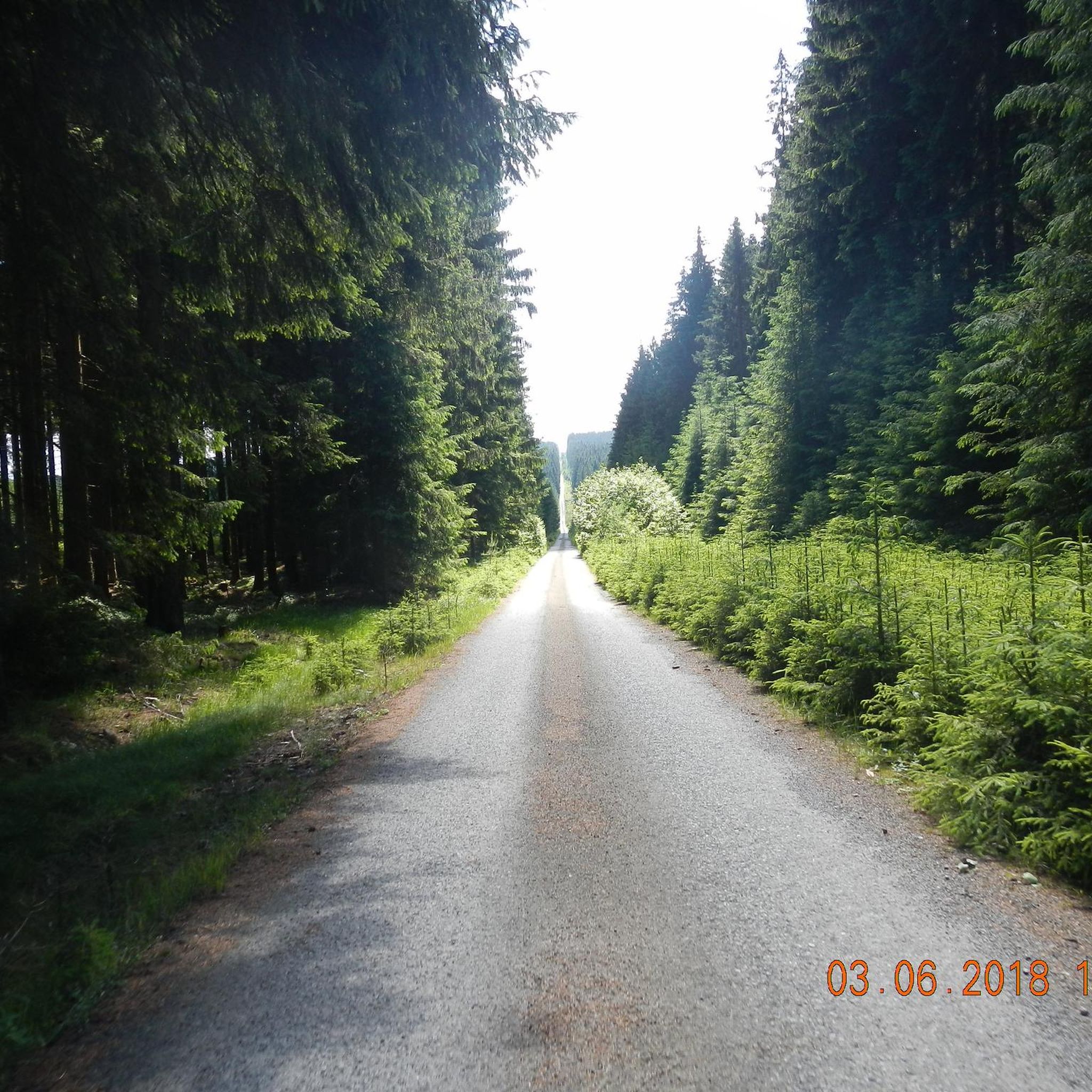
A nice road that runs along the canal. It's pretty quiet and mostly straight so you can go pretty fast.
0
0

Frequently Asked Questions
What kind of terrain can I expect on mountain bike trails around Hautefond?
Mountain biking around Hautefond offers diverse terrain, including wooded areas, open pastures, and routes that follow rivers and canals. The region's topography features varied elevations, providing a mix of challenges and scenic views. You'll find paths suitable for exploring the French countryside, often alongside waterways.
How many mountain bike trails are available in Hautefond?
There are 39 mountain bike trails around Hautefond listed on komoot. These routes cater to various skill levels, from easy canal-side rides to more challenging paths with varied elevation.
What is the overall difficulty level of mountain biking in Hautefond?
The trails in Hautefond offer a range of difficulties. You'll find 17 easy routes and 22 moderate routes. There are no routes currently classified as difficult, making the area accessible for a broad spectrum of riders, from beginners to those seeking a moderate challenge.
Are there any long-distance mountain bike routes in Hautefond?
Yes, there are several longer routes. For example, the Digoin Canal Bridge – Gravel path along the canal loop from Vitry-en-Charollais is a 30.7-mile (49.3 km) trail. Another option is the Wooden Bridge Over the Stream – Basilica of Paray-le-Monial loop from Paray-le-Monial, which covers 22.7 miles (36.6 km).
What do other mountain bikers enjoy most about the trails in Hautefond?
The mountain bike routes in Hautefond are highly rated by the komoot community, with an average score of 4.0 stars from over 20 reviews. Riders often praise the varied terrain, which includes canal paths, wooded sections, and open pastures, offering a blend of natural landscapes and engaging rides.
Are there family-friendly mountain bike trails in Hautefond?
Yes, many of the trails, particularly those along canals and greenways, are suitable for families. The 17 easy routes available provide gentler options for riders of all ages. The Wooden Bridge Over the Stream – Canal du Centre greenway loop from Paray-le-Monial is a good example, offering a pleasant ride along a greenway.
What interesting landmarks or attractions can I see while mountain biking in Hautefond?
While exploring the trails, you can encounter several notable attractions. The Wooden Bridge Over the Stream – Basilica of Paray-le-Monial loop from Paray-le-Monial passes near the impressive Basilica of Paray-le-Monial. Other highlights in the area include the historic Château de Digoine and the scenic Canal du Centre greenway.
When is the best time of year for mountain biking in Hautefond?
The region of Hauts-de-France, where Hautefond is located, offers pleasant conditions for outdoor activities during spring, summer, and early autumn. These seasons typically provide favorable weather for exploring the diverse landscapes, from forests to pastures, without extreme temperatures.
Can I find circular mountain bike routes in the Hautefond area?
Yes, many of the mountain bike trails around Hautefond are designed as loops, allowing you to start and finish at the same point. Examples include the Digoin Canal Bridge – Gravel path along the canal loop from Vitry-en-Charollais and the Rest area by the stream – Arconce Bridge loop from Charolles.
Are there routes with significant elevation changes for a more challenging ride?
While there are no routes classified as 'difficult,' some moderate trails do feature notable elevation changes. For instance, the Rest area by the stream – Arconce Bridge loop from Charolles has an elevation gain of over 450 meters, offering a more demanding experience compared to flatter canal paths.
Are there any specific greenways or cycle paths suitable for mountain biking?
Yes, the region features dedicated greenways and cycle paths that are excellent for mountain biking. The Canal du Centre greenway is a prominent example, offering smooth riding surfaces. Additionally, there's a Cycle Path on Former Railway Line which provides another scenic and accessible option.
Can I bring my dog on mountain bike trails in Hautefond?
Generally, dogs are welcome on many outdoor trails in France, especially in rural areas. However, it's always advisable to keep your dog on a leash, particularly in nature reserves, agricultural areas, or when encountering other trail users. Check local signage for any specific restrictions on individual routes or protected areas.
Most popular attractions around Hautefond

Get inspired with the komoot mobile app


Explore more
Browse the best MTB trails in other regions.
