The best walks and hikes around Germagny
4.5
(178)
847
hikers
128
hikes
Hiking around Germagny offers a network of trails through a landscape characterized by rolling hills, agricultural fields, and scattered woodlands. The region features historical elements such as châteaux and dry stone structures, providing points of interest along the routes. Elevations are generally moderate, making the area accessible for various hiking abilities. The terrain primarily consists of well-maintained paths suitable for walking.
Best hiking trails around Germagny
- The most popular hiking route is Château de Pontus de Tyard — loop by…
Last updated: July 6, 2026
5.0
(5)
15
hikers
14.5km
04:04
290m
290m
Moderate hike. Good fitness required. Easily-accessible paths. Suitable for all skill levels.
5.0
(7)
25
hikers
11.4km
03:09
200m
200m
Moderate hike. Good fitness required. Easily-accessible paths. Suitable for all skill levels.

Sign up for free
4.8
(5)
19
hikers
11.5km
03:15
240m
240m
Moderate hike. Good fitness required. Easily-accessible paths. Suitable for all skill levels.
4.0
(1)
9
hikers
12.9km
03:42
300m
300m
Moderate hike. Good fitness required. Easily-accessible paths. Suitable for all skill levels.
5.0
(1)
8
hikers
11.2km
03:10
250m
250m
Moderate hike. Good fitness required. Easily-accessible paths. Suitable for all skill levels.
Get access to more routes and recommendations from other explorers.
Sign up for free
Already have an account?
Our route recommendations are based on thousands of hikes, rides, and runs completed by other people on komoot.
Start today with a free account
Your next adventure awaits.
Login or Signup
Tips from the Community

On June 12, 1944, nine members of a detachment of the Cruchaud resistance group and three residents of Neuilly were executed by the Nazis, who also set fire to the hamlet's farms and the château that had stood on the site since the 18th century. A commemorative plaque was unveiled on June 12, 1945, and the monument was erected in its current form in 1946. Access to the monument for remembrance is on foot only (the access road is private and vehicles are not permitted).
0
0
Rimont is a small, peaceful hamlet where 2 congregations of brothers and sisters reside.
1
0
Superb view, pleasant place for a break. Presence of a fitness trail.
1
0
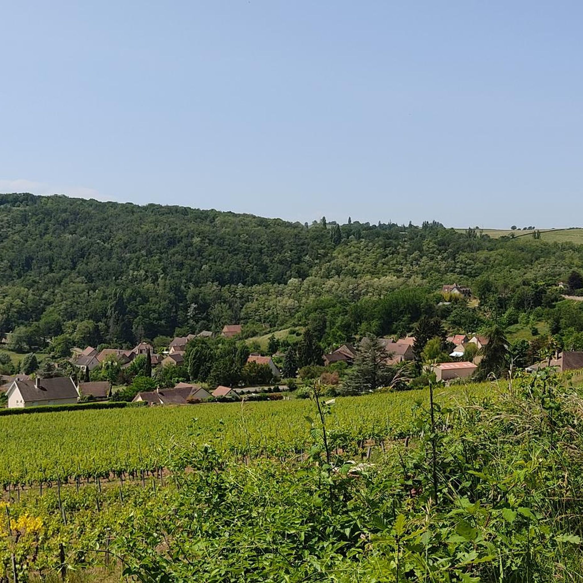
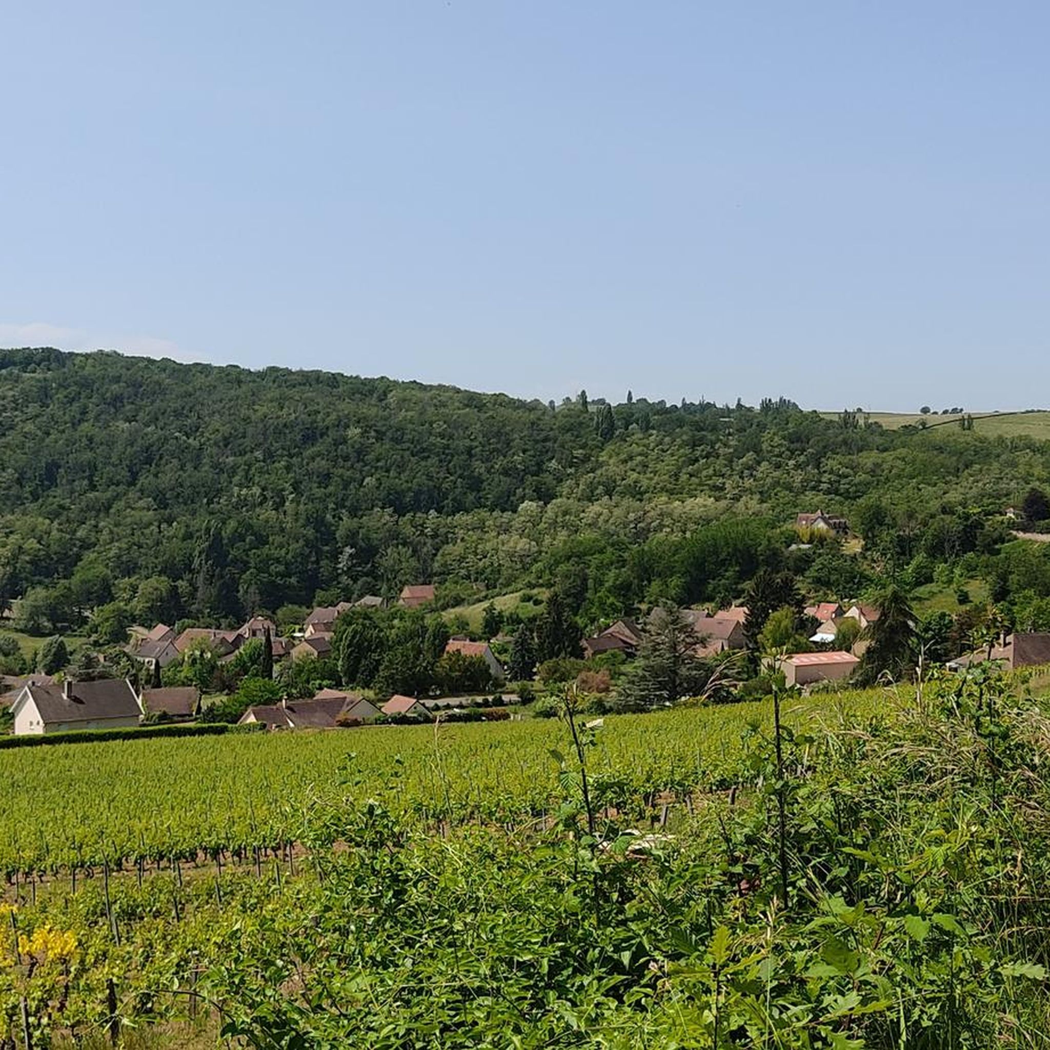
Beautiful view of the "Montagny 1er cru" vineyard / seen from Mont Blanc on a clear day
0
0


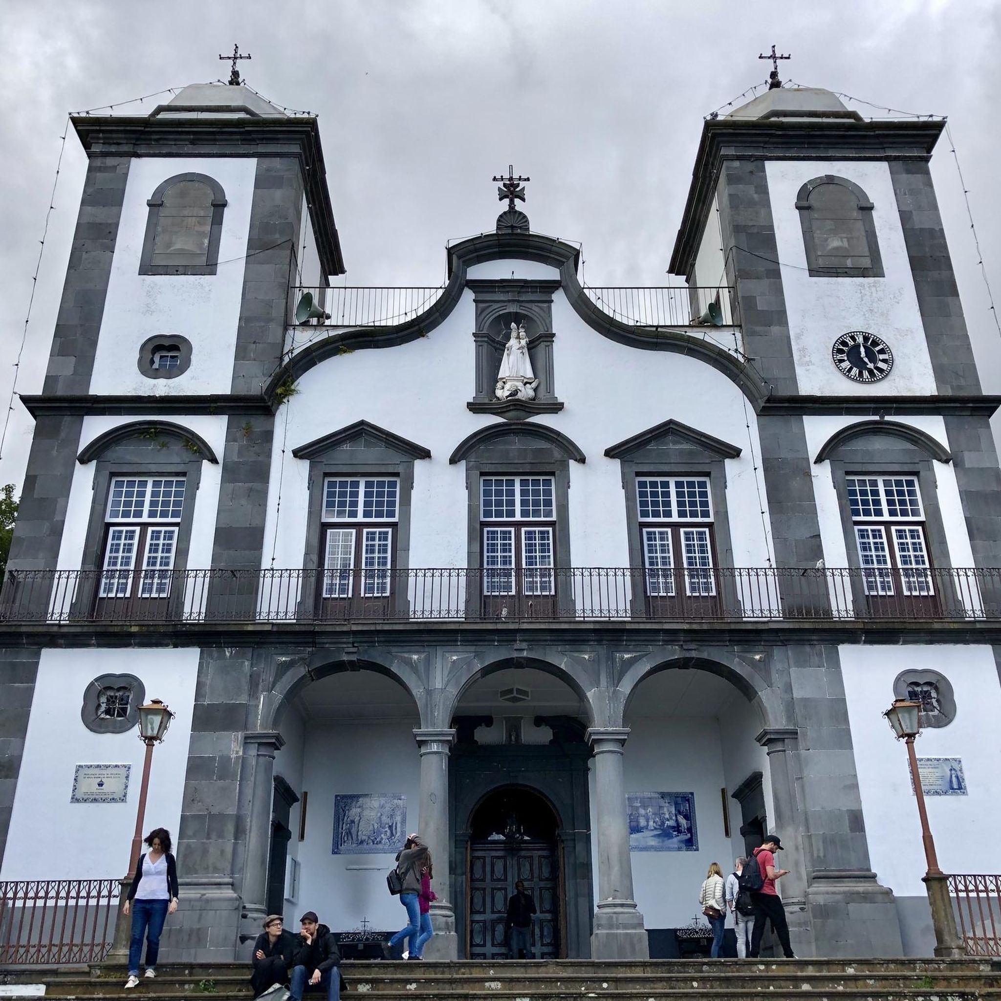
At the rest area with the Madonna statue there is a drinking water fountain right at the entrance on the right.
0
0


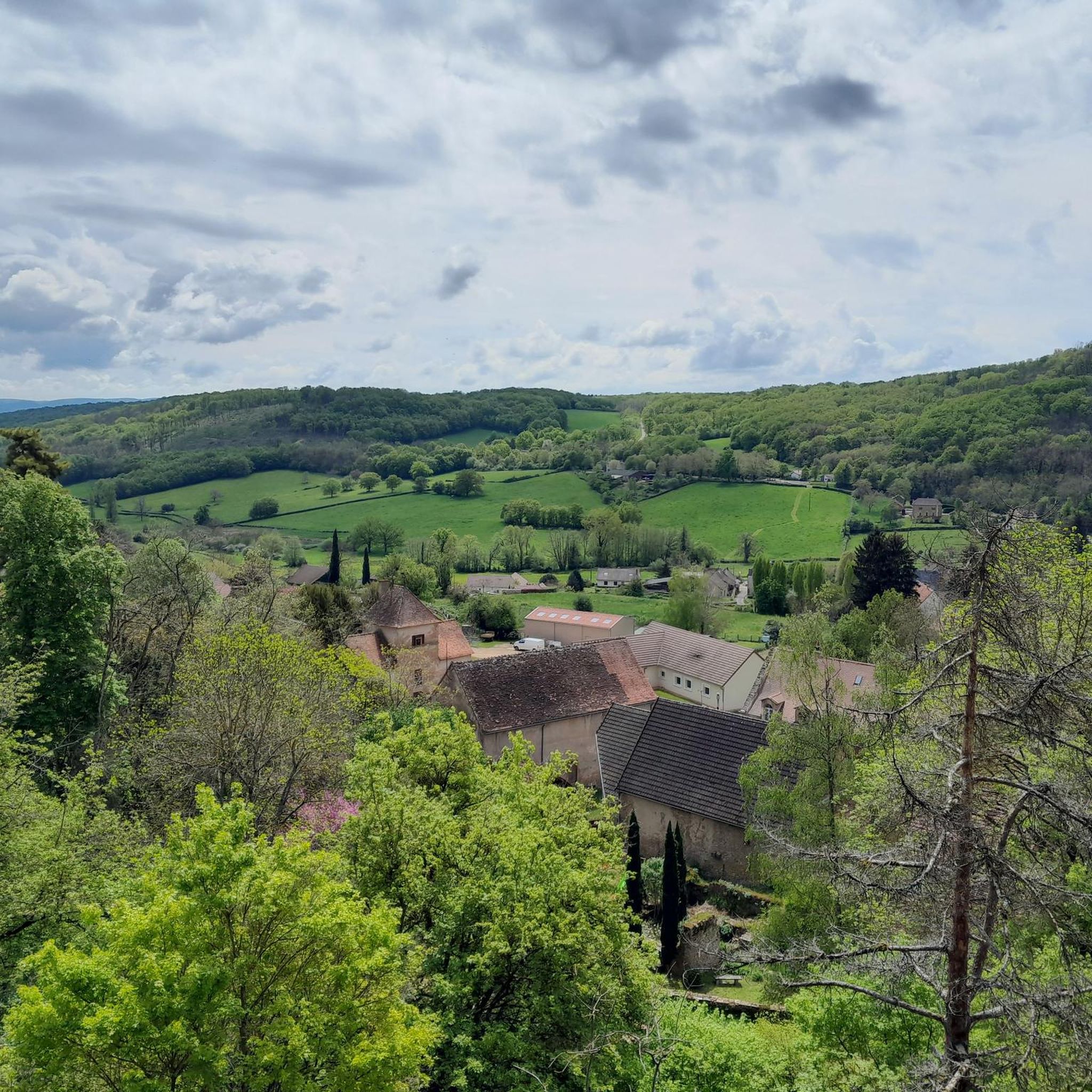
Large rest area with several picnic spots and a superb panoramic view of the Saône valley.
4
0
Frequently Asked Questions
How many hiking trails are available around Germagny?
There are over 130 hiking routes in the Germagny area, catering to various skill levels. You'll find a good mix of easy, moderate, and a few more challenging options to explore the region's rolling hills and woodlands.
Are there easy hikes suitable for beginners in Germagny?
Yes, Germagny offers a good selection of easy hikes, with over 40 routes designed for less experienced hikers or those looking for a relaxed stroll. These trails typically feature gentle gradients and well-maintained paths through the scenic countryside.
What kind of scenery can I expect on hikes around Germagny?
Hiking around Germagny will take you through a landscape of rolling hills, agricultural fields, and scattered woodlands. Many routes also feature historical elements such as châteaux and traditional dry stone structures, adding points of interest to your walk.
Are there any family-friendly hiking options in Germagny?
Many of the easier routes in Germagny are suitable for families. These trails often have moderate elevations and well-defined paths, making them enjoyable for children. Consider routes that explore the local woodlands or pass by historical sites for added interest.
Can I bring my dog on the hiking trails in Germagny?
Most hiking trails in Germagny are generally dog-friendly, but it's always advisable to keep your dog on a leash, especially when passing through agricultural areas or near livestock. Ensure you carry water for your pet and clean up after them.
What are some notable landmarks or attractions I can see while hiking?
While hiking, you might encounter historical sites like the Sercy Castle or the Aire de loisir de la gare de Saint-Gengoux-le-National. The Panoramic rest area – Statue of Mary loop from Savianges specifically passes by a notable landmark, the Statue of Mary, offering scenic views.
Are there circular hiking routes available in Germagny?
Yes, many of the trails in Germagny are designed as circular routes, allowing you to start and finish at the same point. An example is the Château de Pontus de Tyard — loop by Culles-les-Roches, which explores historical sites and rural scenery.
What is the best time of year to go hiking in Germagny?
The spring and autumn months are generally ideal for hiking in Germagny, offering pleasant temperatures and vibrant natural colors. Summer can also be enjoyable, especially in the woodlands, but it's wise to start earlier in the day to avoid the midday heat. Winter hikes are possible, though some paths might be muddy or slippery.
How long do hikes typically take in Germagny?
Hike durations vary depending on the route and your pace. For example, the Dry Stone Wall – Cadole du chemin des moulins loop from Saône-et-Loire, which is about 7.2 miles (11.5 km), typically takes around 3 hours and 15 minutes to complete.
What do other hikers say about the trails in Germagny?
The trails in Germagny are highly rated by the komoot community, with an average score of 4.5 stars from over 160 reviews. Hikers often praise the well-maintained paths, the blend of natural beauty with historical points of interest, and the accessibility for various skill levels.
Are there any moderate difficulty hikes for experienced walkers?
Absolutely. Germagny features nearly 80 moderate trails for those seeking a bit more challenge. Routes like the Pontus de Tyard Castle – Fley loop from Fley offer longer distances and more elevation gain, providing a rewarding experience for experienced hikers.
What should I wear for hiking in Germagny?
Given the varied terrain of rolling hills and woodlands, it's recommended to wear comfortable, sturdy hiking shoes. Layered clothing is advisable to adapt to changing weather conditions, and bringing a waterproof jacket is always a good idea, especially during spring and autumn.
Most popular attractions around Germagny

Get inspired with the komoot mobile app


Explore more
Browse the best Hikes in other regions.
