The best MTB trails around Mackweiler
4.4
(161)
646
riders
72
rides
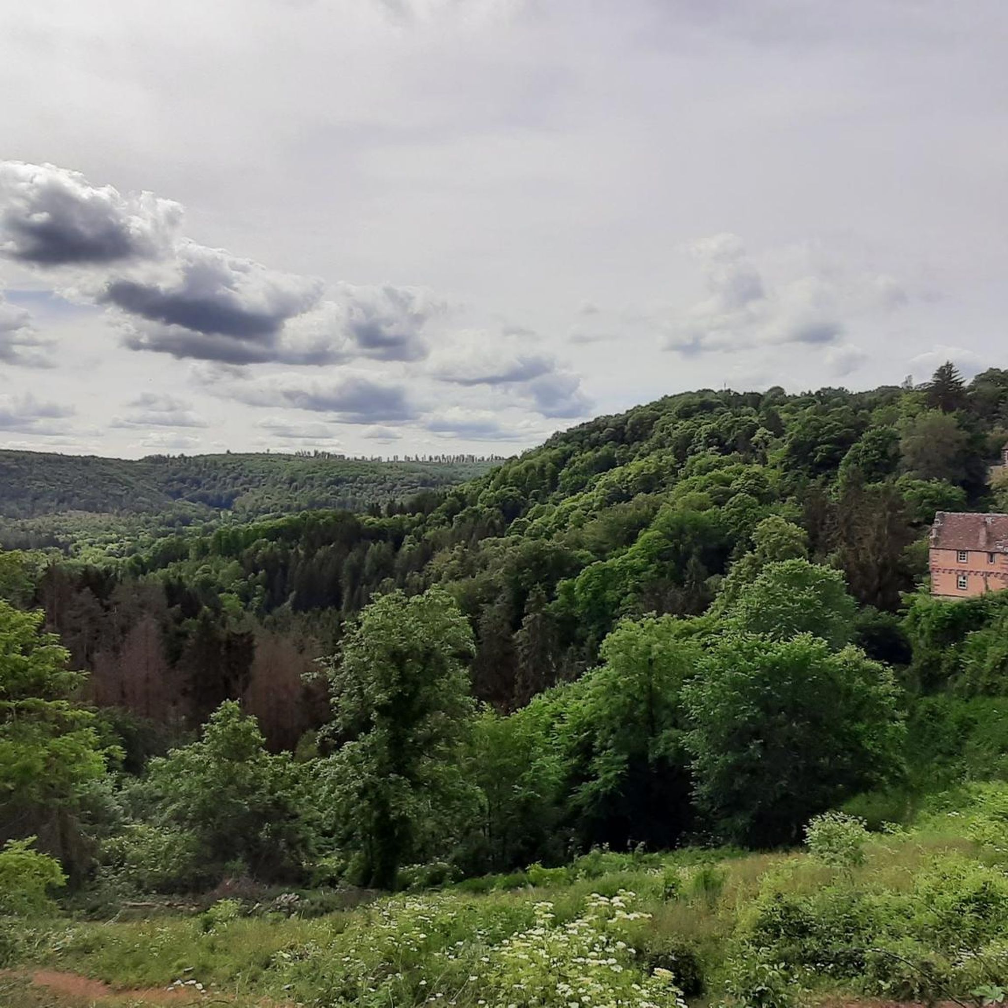
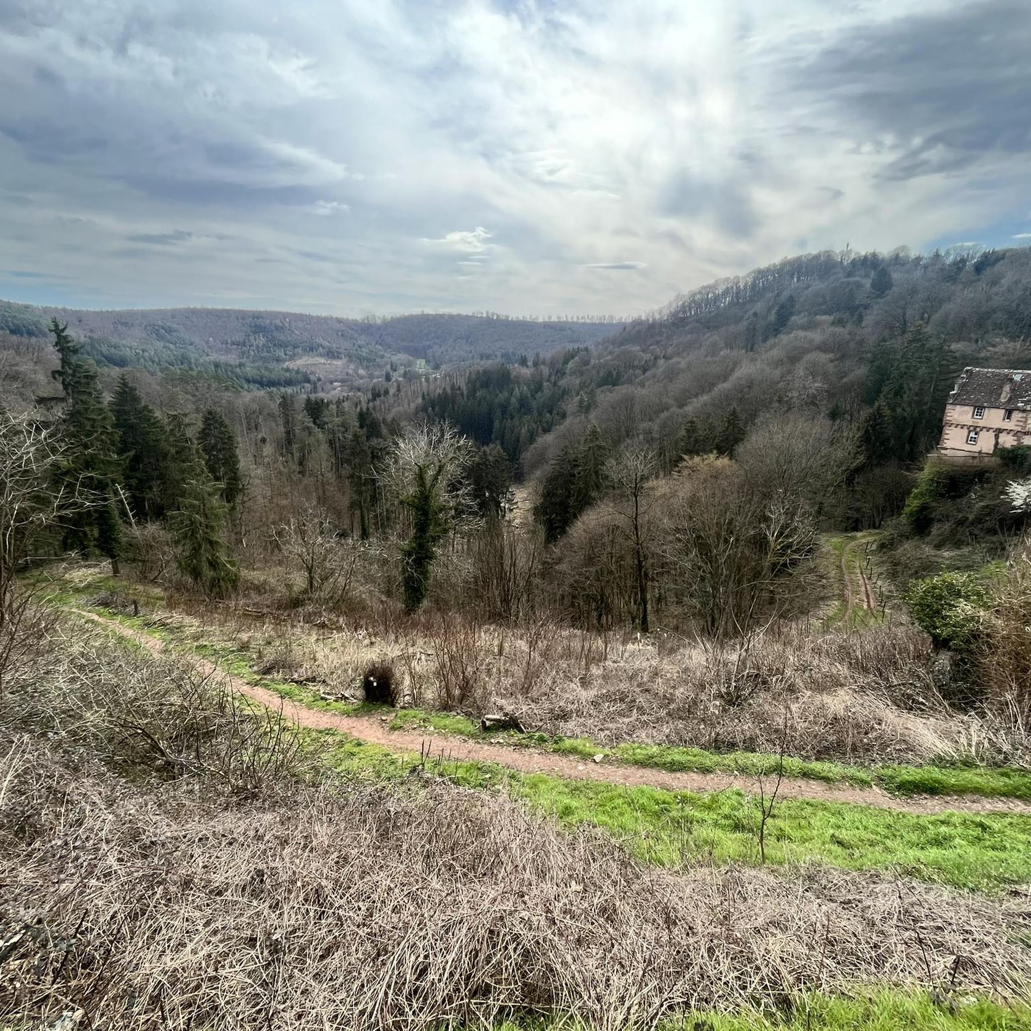
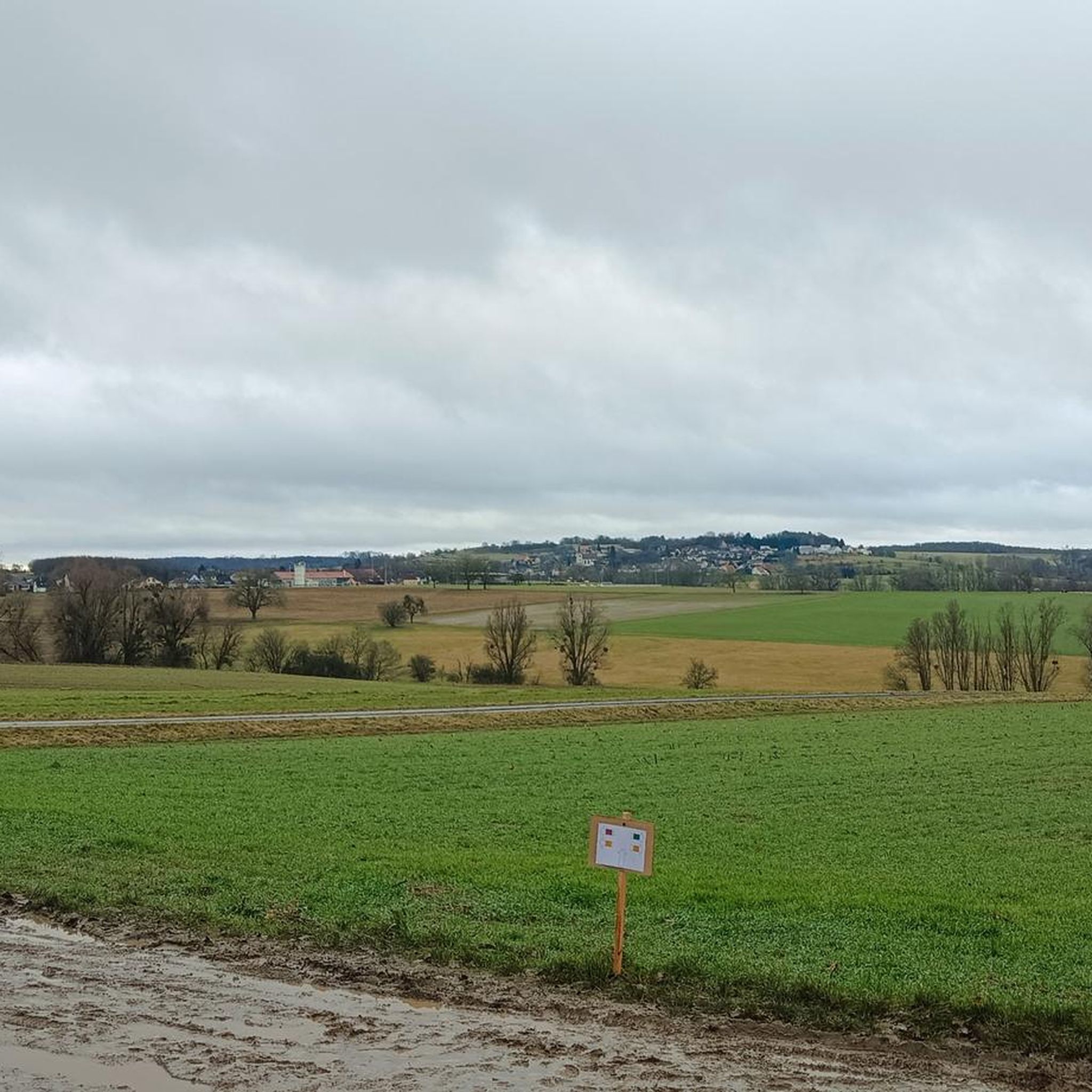
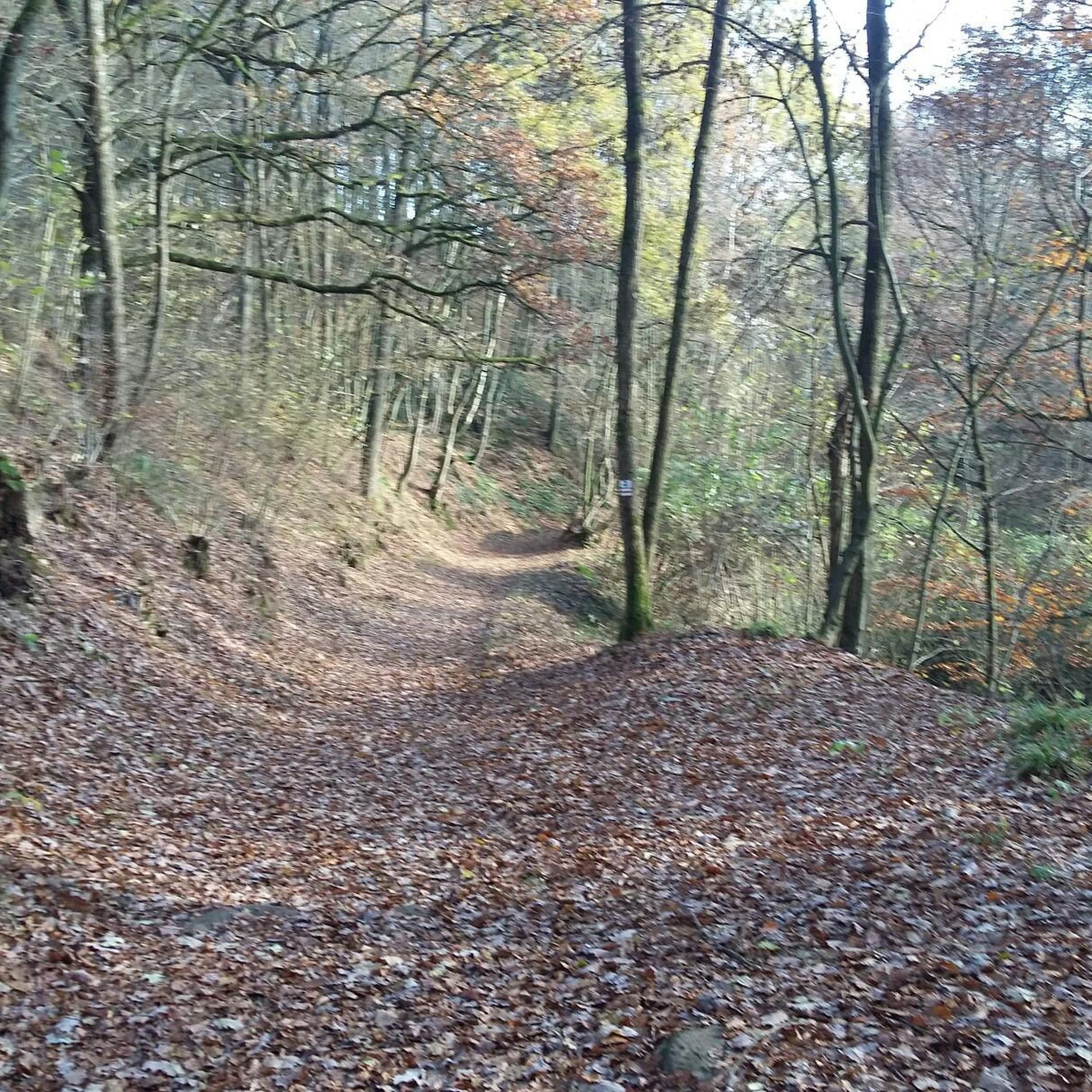
Mountain biking around Mackweiler offers a diverse landscape characterized by rolling hills, dense woodlands, and scenic water features. The region provides a mix of terrain suitable for various skill levels, from gentle paths to more challenging ascents. Mountain bike trails in Mackweiler often traverse through forested areas and open countryside, providing varied riding experiences. The elevation changes are moderate, making it accessible for many riders.
Best mountain bike trails around Mackweiler
- The most popular mountain bike trail is Dreipeterstein –…
Last updated: October 22, 2026
5.0
(3)
36
riders
84.0km
07:39
1,580m
1,580m
Hard mountain bike ride. Very good fitness required. Advanced riding skills necessary. Some portions of the route may require you to push your bike.
4.5
(2)
6
riders
31.7km
02:37
490m
490m
Moderate mountain bike ride. Good fitness required.

6
riders
27.9km
02:27
490m
490m
Moderate mountain bike ride. Good fitness required.
5.0
(2)
5
riders
49.7km
04:14
780m
780m
Moderate mountain bike ride. Good fitness required.
3
riders
60.6km
05:10
950m
950m
Hard mountain bike ride. Very good fitness required. Advanced riding skills necessary.
Get access to more routes and recommendations from other explorers.
Already have an account?
Our route recommendations are based on thousands of hikes, rides, and runs completed by other people on komoot.
Start today with a free account
Your next adventure awaits.

Tips from the Community

Coffee, cold drinks and cakes of the best quality. Friendly service to boot - heart, what more could you want
0
0

The Church of Saint-Félix-de-Cantalice was built in 1918 in Wingen-sur-Moder. It is distinguished by its onion-domed bell tower, the spire of which was damaged during the Second World War and subsequently repaired. It overlooks the surrounding plain beautifully.
0
0

Beautiful town in northern Alsace, which invites you to a café and a croissant on every road bike tour
0
0

Accessible from various directions and/or accessible as a circular walk. The walk up the mountain is quite long.
0
0

A secluded pond in the forest, located on the beautiful forest road from Eschbourg to Frohmuhl. There's only one educational facility here, but otherwise no infrastructure, just plenty of idyllic forest scenery.
0
0

At this spot, in the forest northeast of Lviv, the trees give way slightly, creating a clearing where, at an altitude of 420 meters, stands the small sacred monument known as the "Croix Saint-Hubert." A low stone wall and a wooden fence create a small "sacred precinct," at the center of which is the well-preserved cross. At the very bottom of the lower section is the well-known scene from the Life of Hubertus, featuring a stag with a cross between its antlers. Above it, at the very bottom, are reliefs of two figures, the one on the left identified as a monk with his tonsure and habit; between the two images, the year 1786. Above this, rises the actual cross, which also bears the body of the crucified Christ.
2
0

This spring, tapped by the CV (Civic Association), is located about 100 meters off the Speierbach cycle path. A bridge leads there. Benches for resting are also available.
0
0

Good place to replenish your water supplies
0
0
Frequently Asked Questions
How many mountain bike trails are available around Mackweiler?
There are over 60 mountain bike trails around Mackweiler listed on komoot, offering a wide range of options for different skill levels. This includes 11 easy routes, 39 moderate routes, and 15 difficult routes.
What is the general difficulty level of mountain biking in Mackweiler?
Mountain biking in Mackweiler offers a diverse range of difficulties. You'll find a good mix of easy, moderate, and difficult trails. The majority of routes are classified as moderate, providing a balanced challenge with rolling hills and varied terrain.
Are there any easy or family-friendly mountain bike trails in Mackweiler?
Yes, Mackweiler has 11 easy mountain bike routes that are suitable for beginners or families looking for a less strenuous ride. These trails typically feature gentler gradients and smoother paths, allowing for an enjoyable experience for all skill levels.
What kind of terrain can I expect on mountain bike trails around Mackweiler?
The terrain around Mackweiler is characterized by rolling hills, dense woodlands, and scenic water features. Trails often traverse through forested areas and open countryside, with moderate elevation changes. You can expect a mix of forest paths, gravel tracks, and some singletrack sections.
Are there any circular mountain bike routes in Mackweiler?
Yes, many of the mountain bike trails around Mackweiler are designed as loops. For example, the Dreipeterstein – Heidenkirch loop from Waldhambach and the Heidenkirch – Le Moulin de Ratzwiller loop from Waldhambach are popular options that bring you back to your starting point.
What are some scenic mountain bike trails in the Mackweiler area?
For scenic rides, consider routes that pass by water features or through dense forests. The Cascade – Heidenkirch loop from Diemeringen is known for its varied terrain, including a cascade. Other routes often feature tranquil ponds and extensive woodlands, providing beautiful views throughout your ride.
What do other mountain bikers say about the trails in Mackweiler?
The mountain bike trails around Mackweiler are highly rated by the komoot community, with an average score of 4.4 stars from over 150 reviews. Riders often praise the varied terrain, the peaceful forest sections, and the well-maintained paths that cater to different skill levels.
Are mountain bike trails in Mackweiler suitable for dogs?
While specific dog regulations can vary, many trails in natural areas are generally dog-friendly, provided dogs are kept on a leash and owners clean up after them. It's always a good idea to check local signage or specific route details for any restrictions before heading out with your dog.
What is the best time of year for mountain biking in Mackweiler?
The best time for mountain biking in Mackweiler is typically during spring, summer, and autumn. Spring offers lush greenery, while autumn provides vibrant foliage. Summer is also great, but be mindful of warmer temperatures. Winter riding is possible, but trails might be muddy or icy, requiring appropriate gear and caution.
Are there any interesting landmarks or attractions to see along the mountain bike trails?
Yes, the region offers several points of interest. You might encounter historical sites or natural features. For example, the Heidenkirch – Le Moulin de Ratzwiller loop from Waldhambach passes by a historic mill. Other notable attractions in the wider area include the Canal des Houillères de la Sarre and the White Rock.
Where can I find parking for mountain bike trails in Mackweiler?
While specific parking information isn't always listed for every trailhead, many routes around Mackweiler start from villages or designated parking areas. It's common to find parking available near the starting points of popular trails, especially in towns like Waldhambach or Diemeringen, which are common starting points for komoot tours.
Are there any long-distance or challenging mountain bike routes in the area?
Yes, for those seeking a greater challenge, there are difficult routes available. The Flow Trail at Erckartswiller – Ochsenstall Cave loop from Diemeringen is a challenging 60.8 km route with significant elevation gain, offering a demanding ride for experienced mountain bikers.
Most popular routes around Mackweiler
Most popular attractions around Mackweiler

Get inspired with the komoot mobile app


Explore more
Browse the best MTB trails in other regions.
