The best walks and hikes around Rimsdorf
4.5
(84)
599
hikers
80
hikes
Hiking around Rimsdorf offers diverse landscapes, characterized by deep forests, agricultural lands, and notable pink sandstone cliffs. The region features varied terrain, from the winding trails of Mackwiller Forest to the gentle paths alongside the Saar Coalfields Canal. Elevations range from 225 to 352 meters, providing topographical interest for hikers. This area in the Bas-Rhin department of France is suitable for exploring natural scenery and historical sites.
Best hiking trails around Rimsdorf
- The most popular hiking route is Château de…
Last updated: July 1, 2026
4.3
(3)
23
hikers
9.27km
02:28
100m
100m
Moderate hike. Good fitness required. Easily-accessible paths. Suitable for all skill levels.
5.0
(1)
7
hikers
10.4km
02:48
120m
120m
Moderate hike. Good fitness required. Easily-accessible paths. Suitable for all skill levels.

Sign up for free
5
hikers
15.9km
04:16
180m
180m
Moderate hike. Good fitness required. Easily-accessible paths. Suitable for all skill levels.
8
hikers
19.2km
05:05
180m
180m
Hard hike. Very good fitness required. Easily-accessible paths. Suitable for all skill levels.
5.0
(3)
7
hikers
9.68km
02:29
40m
40m
Moderate hike. Good fitness required. Easily-accessible paths. Suitable for all skill levels.
Get access to more routes and recommendations from other explorers.
Sign up for free
Already have an account?
Our route recommendations are based on thousands of hikes, rides, and runs completed by other people on komoot.
Start today with a free account
Your next adventure awaits.
Login or Signup

Tips from the Community

Great initiative by the Tourist Office to showcase local heritage
0
0

Napoleonic benches were installed along roadsides in Alsace in the 19th century under both empires. Two series of Napoleonic benches can be distinguished by their design and period of construction. First, the King of Rome benches (also called the Marie-Louise benches) were erected between 1811 and 1812 to celebrate the birth and baptism of François, Charles, Joseph Bonaparte (1811-1832), son of Napoleon I and Marie-Louise of Austria, who was titled King of Rome at birth. In January 1812, 125 King of Rome benches were recorded in the Bas-Rhin region. Later, the so-called Empress Eugenie benches were created in 1854, for the first anniversary of the marriage of Napoleon III to Eugenie de Montijo (marriage in 1853). In 1854, 448 Empress benches were counted in the Bas-Rhin.
1
0

The church of St. Gallen was first mentioned in Mackwiller in the 15th century. From 1697 to 1897, the church was mixed, until the construction of the current parish church of St. Gallen. It was built on the site of an ancient Roman building from the 3rd century. The choir is surmounted by a bell tower built in the 15th century from ancient materials. After a fire during the Second World War, the church was rebuilt in 1842 and then in 1958.
0
0

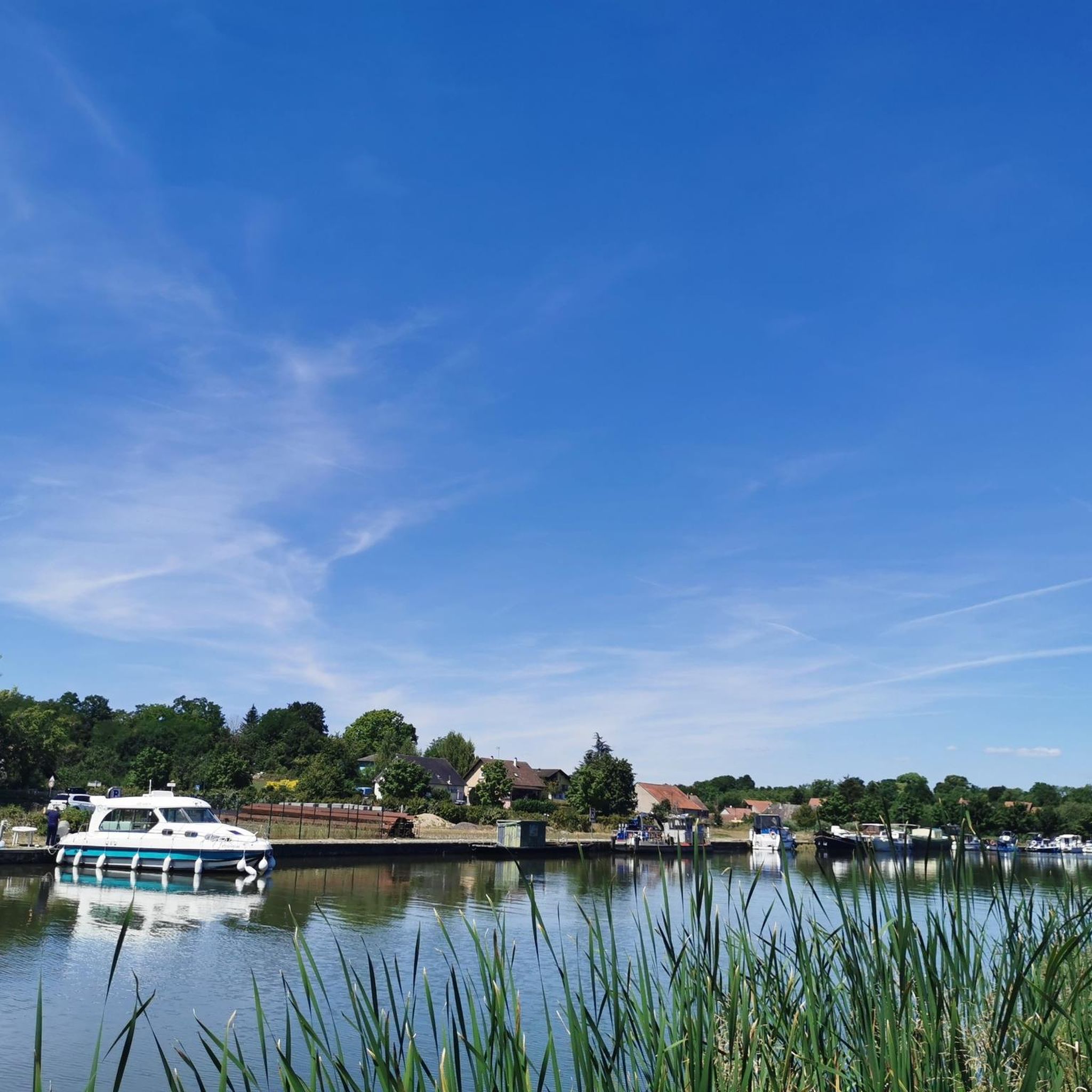
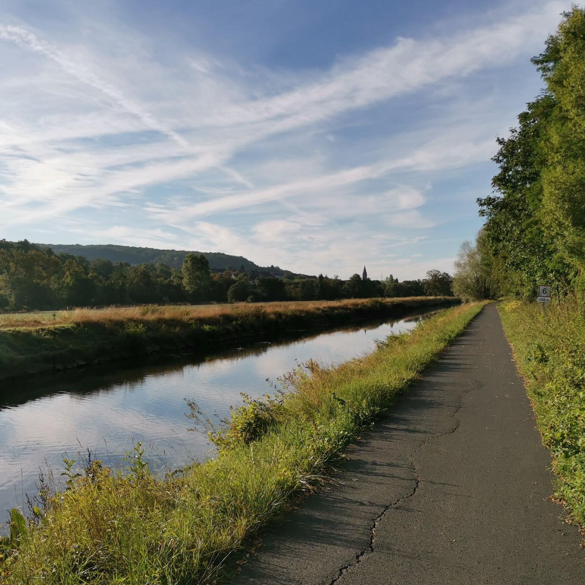
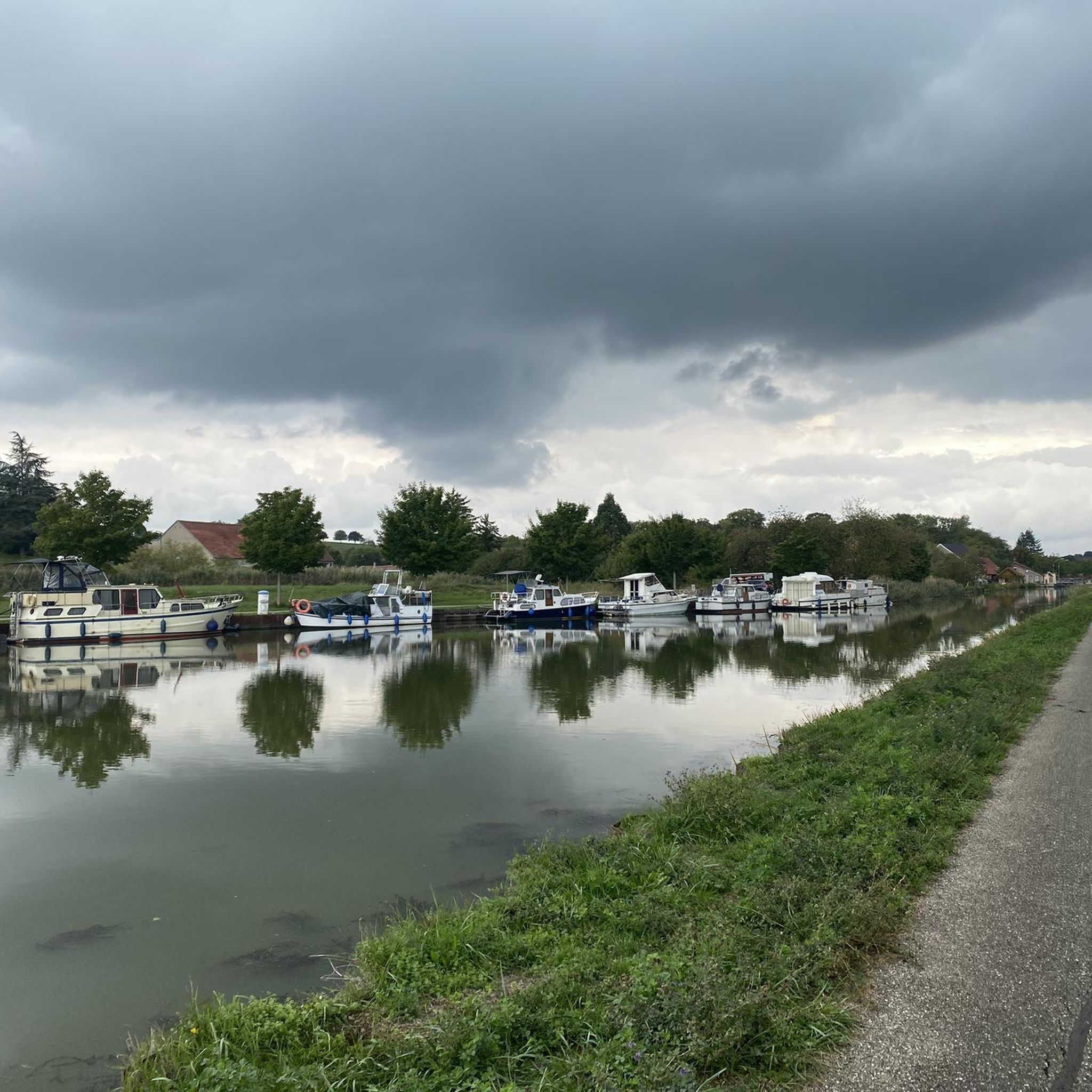
Great cycle path along the Saar Canal.
2
0

The cycle path stretches from Sarreguemines to Gondrexange.
0
0

Frequently Asked Questions
What kind of terrain can I expect on hikes around Rimsdorf?
Hiking around Rimsdorf offers a diverse landscape. You'll find trails winding through deep forests, across agricultural lands, and alongside impressive pink sandstone cliffs, particularly around Graufthal. The area also features the tranquil Canal des Houillères de la Sarre, providing flatter paths. Elevations range from 225 to 352 meters, adding varied topographical interest.
Are there easy hiking trails suitable for beginners or families in Rimsdorf?
Yes, Rimsdorf offers several easy trails perfect for beginners or families. For instance, the Sentier du Kirchberg loop from Berg is an easy 5.7 km route that allows you to discover nature at the 'Site du Kirchberg'. Overall, there are 17 easy routes available in the area.
What are some notable natural features or landmarks to look out for on Rimsdorf's trails?
The region is rich in natural and historical landmarks. You can explore the unique pink sandstone cliffs, especially around Graufthal, which are home to the fascinating Maisons des Rochers (rock houses). The Mackwiller Forest offers serene paths through dense woodland, including an old oak tree. Additionally, the Canal des Houillères de la Sarre provides a scenic route with views of the region's industrial heritage and natural beauty.
Are there any circular hiking routes available in Rimsdorf?
Many of the trails around Rimsdorf are designed as loops, offering convenient circular walks. A popular moderate option is the Château de Lorentzen – Mackwiller Church loop from Mackwiller, which is 9.1 km long. Another great choice is the Château de Lorentzen loop from Vœllerdingen, a moderate 9.7 km trail.
What do other hikers enjoy most about the trails in Rimsdorf?
The hiking trails around Rimsdorf are highly rated by the komoot community, with an average score of 4.5 stars from over 50 reviews. Hikers often praise the diverse landscapes, from the calm forests and agricultural lands to the unique pink sandstone cliffs and the peaceful paths along the Saar Coalfields Canal. The variety of routes, catering to different ability levels, is also frequently highlighted.
Can I find trails that are suitable for longer, more challenging hikes?
Yes, Rimsdorf offers more challenging options for experienced hikers. For instance, the Canal next to the campsite – Bissert lock loop from Sarre-Union is a difficult 19.3 km trail that takes approximately 5 hours to complete, following the flat terrain along the Saar Coalfields Canal. In total, there are 6 difficult routes in the area.
Are there any specific sites related to the Maisons des Rochers (Rock Houses) that I can visit?
The famous Maisons des Rochers, unique troglodytic houses built into pink sandstone cliffs, are located in Graufthal, near Rimsdorf. While not directly on a komoot route in this guide, they are a significant attraction in the area. You can find more information about them on visit.alsace.
What is the typical duration for hikes in the Rimsdorf area?
Hiking durations in Rimsdorf vary significantly depending on the route's length and difficulty. Easy trails like the Sentier du Kirchberg loop from Berg can be completed in under 2 hours. Moderate routes, such as the Mackwiller Church loop from Berg (15.9 km), typically take around 4 hours. Longer, difficult trails can extend to 5 hours or more.
Are there any trails that follow waterways or canals?
Yes, the region features the Canal des Houillères de la Sarre (Saar Coalfields Canal), which offers excellent, gradient-free paths suitable for walking. The Canal next to the campsite – Bissert lock loop from Sarre-Union is a challenging 19.3 km route that follows this canal, providing pleasant views, especially in summer.
How many hiking trails are available in the Rimsdorf area?
There are over 70 hiking trails available around Rimsdorf. This includes a good mix of difficulties, with 17 easy routes, 50 moderate routes, and 6 difficult routes, ensuring options for all experience levels.
What kind of forests can I expect to hike through in Rimsdorf?
The Rimsdorf area is characterized by deep forests, offering serene and shaded paths. Notably, the Mackwiller Forest (Forêt de Mackwiller) provides winding trails through dense woodland, including areas with old oak trees, creating a peaceful environment for hikers.
Most popular attractions around Rimsdorf

Get inspired with the komoot mobile app


Explore more
Browse the best Hikes in other regions.
