The best walks and hikes around Fougaron
4.5
(199)
1,480
hikers
66
hikes
Hiking around Fougaron offers diverse experiences within the Haute-Garonne department, nestled in the foothills of the Pyrenees. The region is characterized by mountainous terrain, with elevations ranging from 473 to 1416 meters, contributing to varied landscapes. Extensive forests, primarily composed of beech, ash, oak, and chestnut, cover a significant portion of the area, providing shaded trails. Numerous streams, including the Bouche and Plan, traverse the commune, adding to the natural features of the hiking environment.
Best hiking trails around Fougaron
…Last updated: May 23, 2026
4.6
(22)
240
hikers
13.3km
04:58
650m
650m
Moderate hike. Good fitness required. Mostly accessible paths. Sure-footedness required.
5.0
(1)
10
hikers
18.5km
07:12
1,220m
1,220m
Hard hike. Very good fitness required. Mostly accessible paths. Sure-footedness required.

Sign up for free
3.0
(1)
16
hikers
10.3km
03:28
490m
500m
Moderate hike. Good fitness required. Mostly accessible paths. Sure-footedness required.
6
hikers
15.3km
04:36
480m
480m
Moderate hike. Good fitness required. Easily-accessible paths. Suitable for all skill levels.
4
hikers
8.41km
02:26
220m
220m
Moderate hike. Good fitness required. Easily-accessible paths. Suitable for all skill levels.
Get access to more routes and recommendations from other explorers.
Sign up for free
Already have an account?
Our route recommendations are based on thousands of hikes, rides, and runs completed by other people on komoot.
Start today with a free account
Your next adventure awaits.
Login or Signup


Tips from the Community


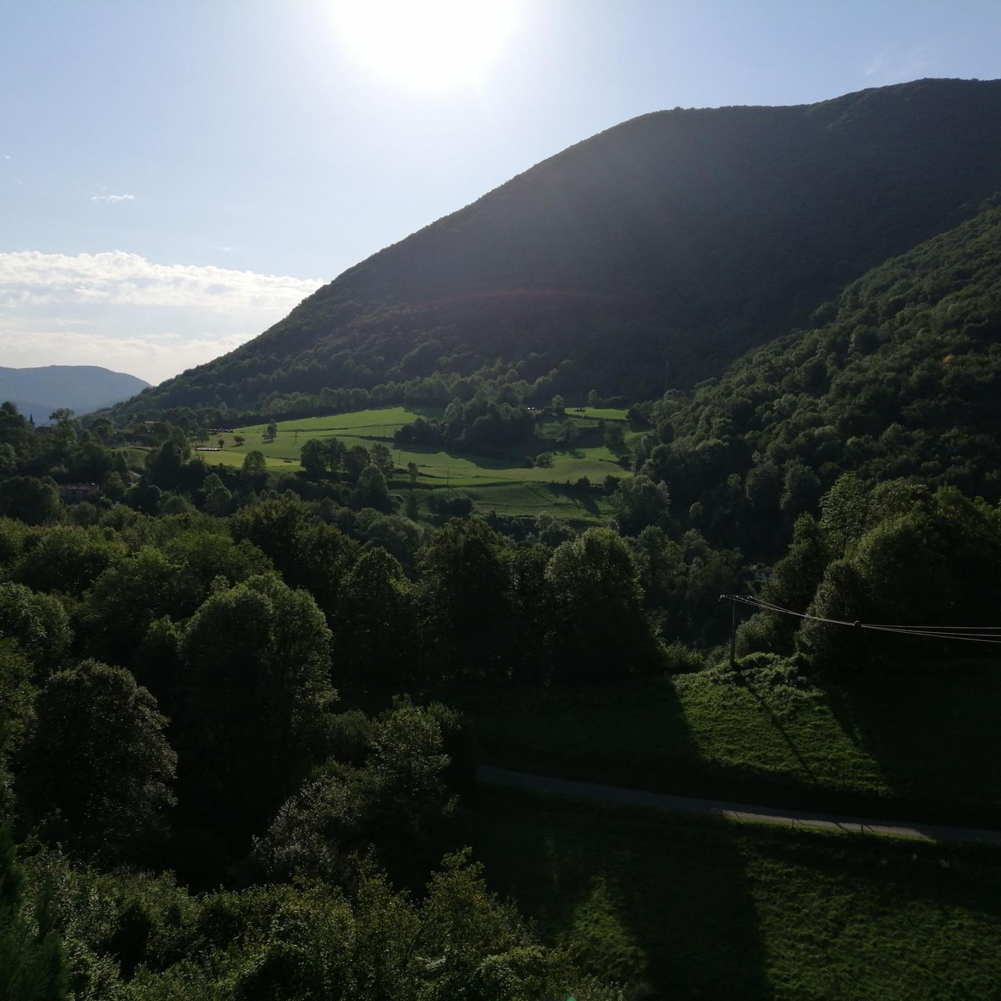
Nice panorama before the climb to the Peak!
0
0

very nice little hike accessible to everyone.
0
0

The fountain of the Bear is the end of a memorable ascent .... Station ...
0
0

Attention delicate passage. Go around and turn right to the meadow, then turn right to join the ridge path.
0
0
On the way to the peak of Paloumère, this pass marks the end of the first part of the ascent of sport and Aspet and offers magical views.
0
0
Frequently Asked Questions
What types of hiking trails can I find around Fougaron?
Fougaron offers a diverse range of hiking trails, from easy strolls to more challenging ascents. The region is characterized by mountainous terrain, lush forests of beech, ash, and chestnut, and numerous streams. You'll find routes winding through extensive woodlands, along ancient agricultural paths, and leading to panoramic viewpoints of the Pyrenees. There are over 70 routes available, with 16 easy, 48 moderate, and 7 difficult options.
Are there any circular hiking routes in Fougaron?
Yes, many of the trails around Fougaron are circular, allowing you to start and end at the same point. For example, the Cournudère Summit – Passengers Pass loop from Arbas - planot de loubat is a moderate 13.3 km loop. Another popular option is the Hiking loop from Herran, a moderate 10.3 km trail through varied forest terrain.
What are the best times of year to go hiking in Fougaron?
Fougaron's trails, often winding through luxuriant forests, provide considerable shade, making them suitable for various seasons. Spring and autumn offer pleasant temperatures and vibrant scenery. Summer is also enjoyable due to the extensive tree cover. While winter hiking is possible, be prepared for cooler temperatures and potentially snow at higher elevations.
What kind of views and landmarks can I expect to see on the trails?
Hikers in Fougaron can enjoy breathtaking panoramic views of the Pyrenean Piedmont and the high peaks of the Pyrenees, including the prominent Cagire. Many routes offer vistas of the Arbas valley and the nearby Pic de Paloumère. Notable landmarks and points of interest in the wider area include the challenging Portet-d'Aspet pass and the Terreblanque Cave.
Are there family-friendly hiking options in Fougaron?
Yes, Fougaron offers a selection of easy trails suitable for families. With 16 easy routes available, you can find shorter, less strenuous options that still allow you to enjoy the region's natural beauty, including lush forests and flowing streams. These trails are perfect for a leisurely day out with children.
Can I bring my dog on the hiking trails in Fougaron?
Generally, dogs are welcome on many trails in the Fougaron area. However, it's always recommended to keep your dog on a leash, especially in areas with wildlife or near agricultural land. Please be mindful of local regulations and other hikers.
Where can I find parking for the hiking trails?
Specific parking information varies by trailhead. Many routes, especially those starting from villages like Arbas or Herran, typically have designated parking areas. It's advisable to check the individual route details on komoot for precise parking locations before you set out.
What do other hikers enjoy most about hiking in Fougaron?
The hiking trails around Fougaron are highly rated by the komoot community, with an average score of 4.5 stars from over 190 reviews. Hikers often praise the diverse landscapes, the tranquility of the extensive forests, and the rewarding panoramic views of the Pyrenees. The variety of difficulty levels also makes it appealing to a wide range of outdoor enthusiasts.
Are there any challenging hikes for experienced hikers?
Absolutely. For experienced hikers seeking a challenge, Fougaron offers several difficult routes. The Cournudère Summit loop from Arbas is a demanding 18.6 km path with significant elevation gain, offering expansive views from the summit after a sustained climb. There are 7 difficult routes in total for those looking for a strenuous adventure.
Are there any resources or guided hikes available in the region?
While komoot provides detailed digital maps and GPS navigation for trails, for those seeking additional guidance, accompanied mountain guides are available in the broader Haute-Garonne region. These guides offer expertise in hiking and other outdoor activities. You can find more information about guided hikes through Haute-Garonne Tourisme.
What is the typical duration for a moderate hike in Fougaron?
Moderate hikes in Fougaron vary in length and duration. For instance, the Cournudère Summit – Passengers Pass loop from Arbas - planot de loubat is a 13.3 km trail that typically takes around 5 hours to complete. Another moderate option, the Look out point over the valley loop from Chein-Dessus, covers 15.3 km and can be completed in about 4.5 hours.
Most popular attractions around Fougaron

Get inspired with the komoot mobile app


Explore more
Browse the best Hikes in other regions.
