The best walks and hikes around Montot
4.2
(15)
75
hikers
10
hikes
Hiking around Montot offers a variety of trails through the rural and picturesque landscapes of Haute-Saône. The region is characterized by rolling countryside, dense forests, and winding rivers such as the Saône and Ognon. Hikers can explore diverse environments, including the unique ecosystems of the Plateau des 1000 Étangs and the dry grasslands of the Monts de Gy. The terrain provides options ranging from gentle paths along riverbanks to routes through woodlands and open fields.
Best hiking trails around Montot
…Last updated: May 24, 2026
5.0
(1)
16
hikers
10.0km
02:33
20m
20m
Moderate hike. Good fitness required. Easily-accessible paths. Suitable for all skill levels.
4.0
(2)
2
hikers
5.19km
01:22
50m
50m
Easy hike. Great for any fitness level. Easily-accessible paths. Suitable for all skill levels.

Sign up for free
5.0
(1)
3
hikers
7.26km
01:53
40m
40m
Easy hike. Great for any fitness level. Easily-accessible paths. Suitable for all skill levels.
4.0
(2)
4
hikers
10.6km
02:48
90m
90m
Moderate hike. Good fitness required. Easily-accessible paths. Suitable for all skill levels.
4.0
(3)
4
hikers
15.9km
04:11
140m
140m
Moderate hike. Good fitness required. Easily-accessible paths. Suitable for all skill levels.
Get access to more routes and recommendations from other explorers.
Sign up for free
Already have an account?
Our route recommendations are based on thousands of hikes, rides, and runs completed by other people on komoot.
Start today with a free account
Your next adventure awaits.
Login or Signup


Tips from the Community

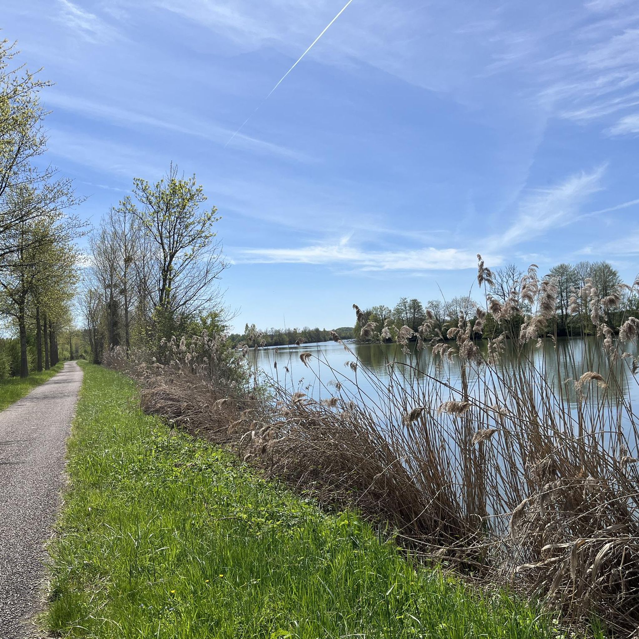
The highlight here is taken from the resting point above the exit. There is also a table here.
11
4

A tranquil French town.
3
0

This beautiful bucolic place is ideal for a break. Benches and picnic tables have been installed by the town hall.
0
0
The Savoyeux tunnel was built during the July Monarchy, in 1837. It facilitates navigation on the Saône. The dimensions of the work are impressive: 642.5 meters long, and only 6.55 meters wide. It passes under the hill and makes it possible to cut a meander in the river, and to avoid a dam located a little higher up.
0
0
The Tunnel de Savoyeux is an underground canal that diverts the Saône between two of its meanders near Savoyeux, in Haute-Saône, in France. It was completed in 1843 and made it possible to sail the small Saône to the Saône. It is 642.5 meters long and 6.55 meters wide. It has no path for pulling the boats, so the skippers had to pull the boats with chains attached to the walls of the tunnel. It also has a lock at the end of the tunnel
10
4
The Tunnel de Savoyeux is an underground canal that diverts the Saône between two of its meanders near Savoyeux, in Haute-Saône, France. It was completed in 1843 and made it possible to sail the small Saône to the Saône. It is 642.5 meters long and 6.55 meters wide. It has no path for pulling the boats, so the skippers had to pull the boats with chains attached to the walls of the tunnel. It also has a lock at the end of the tunnel
12
4

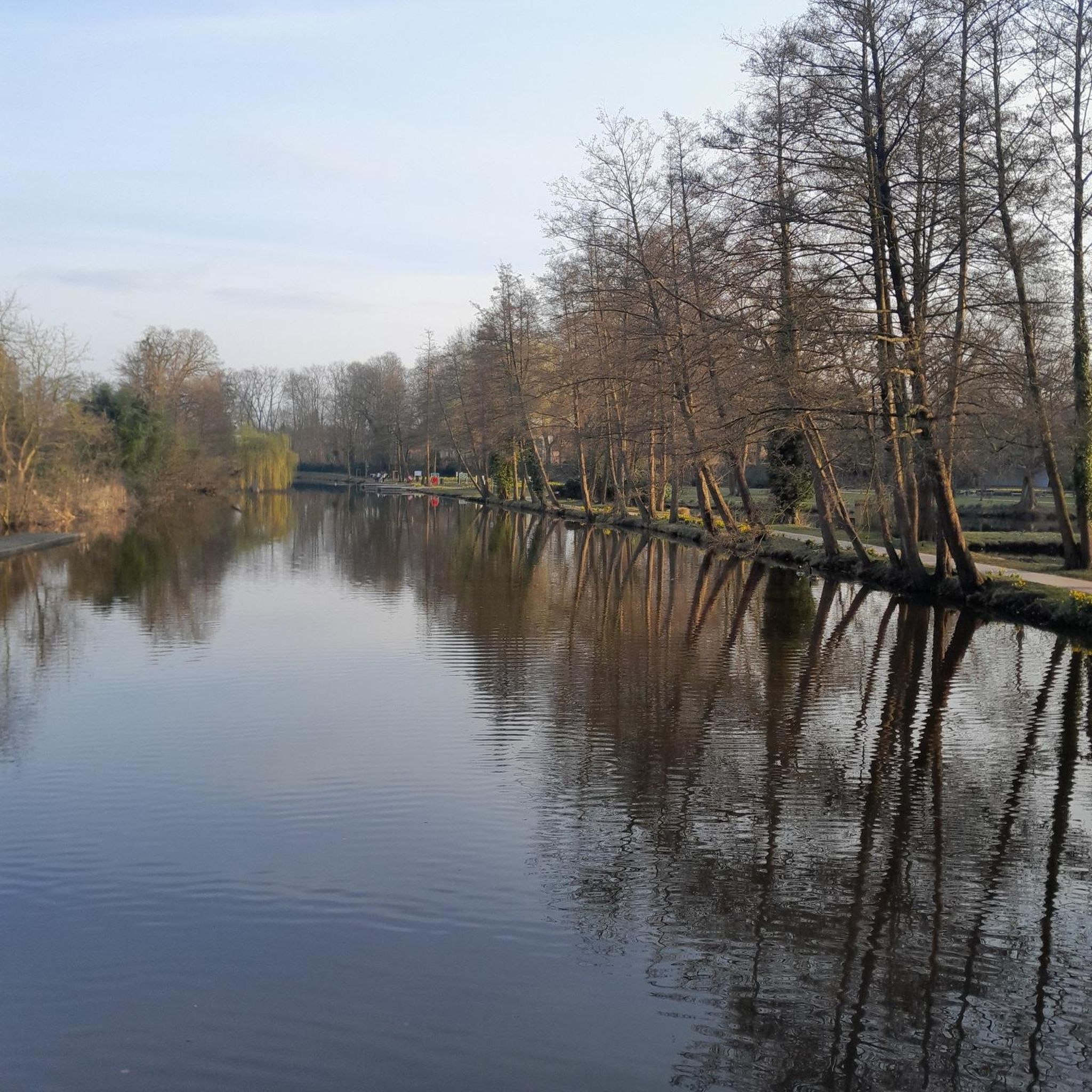
The Salon borders Autet and once turned the paddle wheels of the village's two mills. Near the old stone bridge, benches and tables have been installed for a rural break. If you feel like swimming, Autet has a beach equipped and supervised on the Saône: follow the Route de la Plage to the south exit of the village.
0
0
Very small church and its pretty Comtois bell tower decorated with diamonds. It was built in the 16th century (Flamboyant Gothic style) then its facade was redone two centuries later.
0
0
Frequently Asked Questions
How many hiking trails are available around Montot?
There are 9 hiking trails around Montot, offering a variety of experiences through the picturesque landscapes of Haute-Saône. These routes are highly rated by the komoot community, with an average score of 4.2 stars.
What kind of terrain can I expect on hikes near Montot?
The terrain around Montot is characterized by rolling countryside, dense forests, and winding rivers like the Saône and Ognon. You'll find paths ranging from gentle riverbank strolls to routes through woodlands and open fields, including the unique ecosystems of the Plateau des 1000 Étangs.
Are there any easy, family-friendly hiking options in Montot?
Yes, Montot offers several easy routes suitable for families. An excellent choice is the Hiking loop from Vaite, an easy 5.2 km path that leads through tranquil countryside, perfect for a shorter outing with children.
What are some notable natural features or landmarks to see while hiking?
While hiking around Montot, you can explore areas shaped by the Saône and Ognon rivers. The region is part of the diverse landscapes of Haute-Saône, including the enchanting Plateau des 1000 Étangs, often called 'Little Finland,' known for its forests, meadows, and ponds. You might also encounter the Savoyeux Tunnel, an interesting man-made feature along the waterways.
Are there any circular hiking routes available?
Yes, many of the trails around Montot are circular, allowing you to start and end at the same point. For example, the Bridge over the Salon loop from Autet is a 6.3 km trail that takes you through beautiful riverine landscapes.
What is the best time of year to go hiking in Montot?
The mild climate in spring and autumn is particularly favorable for hiking around Montot. Spring brings lush green landscapes, while autumn offers vibrant colors, making these seasons ideal for exploring the region's trails.
Are there any moderate hikes for those looking for a bit more challenge?
Absolutely. For a moderate challenge, consider the Pont de Pierre of Gray loop from Rigny. This 10.1 km trail offers scenic views of the local river landscape and takes about 2 hours 33 minutes to complete.
What do other hikers enjoy most about the trails in Montot?
The trails in Montot are highly rated by the komoot community, with an average score of 4.2 stars from over 8 reviews. Hikers often praise the peaceful, scenic, and less crowded experiences, highlighting the rolling countryside, dense forests, and winding rivers that define the region.
Are there longer hiking options for extended excursions?
Yes, for a longer excursion, the Savoyeux Tunnel – Savoyeux Tunnel loop from Dampierre-sur-Salon is a moderate 15.8 km route. It offers a more extended journey through the area's diverse landscapes.
Can I find trails that pass by interesting points of interest?
Many trails offer glimpses of local points of interest. For instance, the Dérivation de Savoyeux loop from Savoyeux takes you near the Savoyeux Tunnel, an interesting highlight in the area. You might also pass by the historic Pont de Pierre of Gray on some routes.
Is Montot well-connected for hikers using public transport?
While specific public transport details for trailheads in Montot are not readily available, the broader Burgundy-Franche-Comté region is known for its network of well-marked footpaths. For detailed information on public transport options to reach specific starting points, it is advisable to consult local tourism offices or regional transport websites.
Are there any national parks or major long-distance trails nearby?
Montot is situated within the wider Burgundy-Franche-Comté region, which boasts significant natural assets. The historic Via Francigena, an ancient pilgrimage route, traverses the Haute-Saône section, offering a rich blend of history and nature. Additionally, the Forêts National Park, one of France's largest protected natural areas, is located between the Burgundy and Champagne regions, providing extensive opportunities for exploring ancient forests and dedicated hiking trails.
Most popular attractions around Montot

Get inspired with the komoot mobile app


Explore more
Browse the best Hikes in other regions.
