The best walks and hikes around Mauquenchy
4.6
(47)
300
hikers
56
hikes
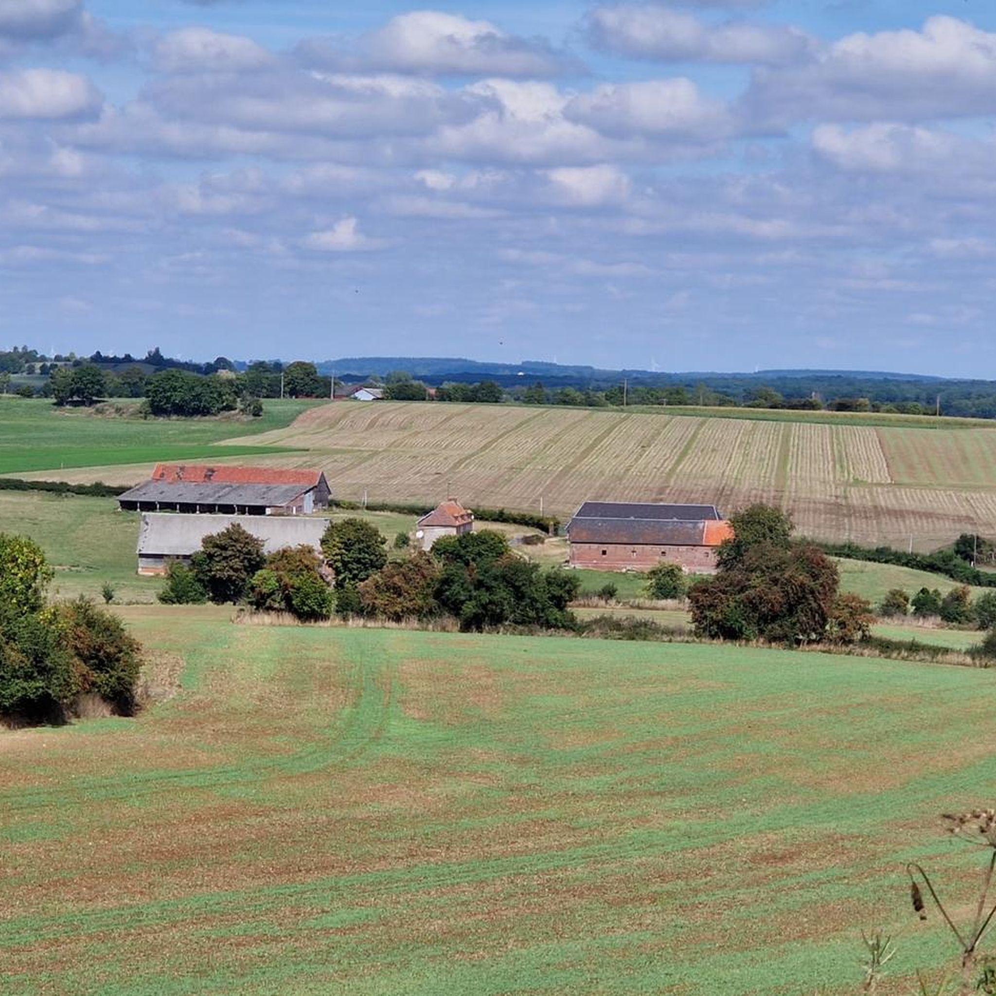
Hiking around Mauquenchy offers exploration of the Pays de Bray region in Normandy, France. The landscape is characterized by rolling countryside, a mix of forests, and rivers such as the Crevon and Héron. Natural features include various ponds and the Mont Halbout, which rises to 231 meters. This bucolic setting provides numerous scenic views and varied terrain for outdoor activities.
Best hiking trails around Mauquenchy
- The most popular hiking route is Source de la Chevrette – Andelle Ponds loop from…
Last updated: October 26, 2026
4.3
(3)
23
hikers
Moderate hike. Good fitness required. Easily walkable paths.
13
hikers
3.83km
01:00
30m
30m
Easy hike. Easily walkable paths.

4.5
(2)
9
hikers
4.76km
01:18
70m
70m
Easy hike. Easily walkable paths.
6
hikers
Moderate hike. Good fitness required. Easily walkable paths.
6
hikers
7.05km
01:51
60m
60m
Easy hike. Easily walkable paths.
Get access to more routes and recommendations from other explorers.
Already have an account?
Our route recommendations are based on thousands of hikes, rides, and runs completed by other people on komoot.
Start today with a free account
Your next adventure awaits.



Tips from the Community

Renaissance castle remodeled in the 17th and 18th centuries, with its rectangular keep. Today, it is a group accommodation.
0
0
The Church of Saint-Martin, a former abbey church from the 11th century. The Abbey was founded by the Lord of La Ferté in 1040. Only the nave remains of the abbey church from that period. In the 13th century, the choir and the west façade of the building were built, remodeled in the 15th century. The bell tower was built in the 15th century. Inside, the baptistery dates from the 15th century. There is a primitive Gothic choir with a 7-sided apse. This monument is listed as a Historic Monument.
0
0

Nice passage along the clear waters of this stream which will offer itself a few dozen meters further to the river of Andelle. Bucolic in good weather!
2
0
Here is a producer who offers fruits, vegetables and local products for sale.
2
0
Here you will see the old railway line that connected Serqueux to Charleval. The last train ran there in 1972.
2
0

This natural area located in Forges-les-Eaux is organized around the ponds of the Andelle, formed by two rivers: the Andelle to the east and the Chevrette to the west. All around extends the Bois de l’Épinay, remarkable for the great diversity of tree species it shelters. You can walk there, observe the birds, picnic and take a quiet break enjoying the rustling of the many leaves.
1
0
The hill of the Grand Mont de Sigy is located between the valleys of the Andelle and the Roulée. Its particularity is its horseshoe-shaped relief. It is a striking phenomenon of the landscape but also one of the rare hills of the Pays de Bray not to be wooded. This landscape of calcareous lawns is home to many orchids. Culminating at 186m, this site offers a breathtaking panorama of the Pays de Bray, the village of Sigy and its 13th century Abbey.
1
0
This former abbey church (MH) which became a parish church is a beautiful 13th century building. It has a primitive Gothic heart with a 7-sided apse. It has many details such as the (rare) statue of the seated Christ and a stone horse's head.
1
0
Frequently Asked Questions
How many hiking trails are available around Mauquenchy?
There are over 50 hiking trails around Mauquenchy, offering a variety of options for different skill levels. You'll find 29 easy routes and 25 moderate routes, with no difficult trails, making the area accessible for most hikers.
Are there any easy hiking trails suitable for beginners or families in Mauquenchy?
Yes, Mauquenchy offers numerous easy trails perfect for beginners or families. For example, the Etang de la Chevrette – Andelle Ponds loop from Forges-les-Eaux is an easy 3.8 km path that takes about an hour to complete, offering a gentle walk around local ponds.
What kind of landscapes can I expect to see while hiking in Mauquenchy?
Hiking in Mauquenchy will immerse you in the picturesque Pays de Bray region of Normandy. You'll experience charming, rolling countryside, a mix of dense forests, and the tranquil presence of rivers like the Crevon and Héron, along with various ponds. The area is known for its bucolic setting and scenic views.
Are there any circular walks available in Mauquenchy?
Yes, many of the trails around Mauquenchy are circular, allowing you to start and end at the same point. An example is the Grand Mont de Sigy loop from Sigy-en-Bray, an easy 4.8 km trail that leads through the rolling countryside and typically takes about 1 hour 18 minutes.
What are some notable natural landmarks or viewpoints in the Mauquenchy area?
The **Mont Halbout**, peaking at 231 meters, is a significant natural landmark offering superb panoramic views over the Pays de Bray. While direct stops on the main road are not possible, hiking trails lead close to its summit, rewarding hikers with expansive vistas. The area also features rivers, ponds, and the source at the Sainte-Anne oratory.
What do other hikers say about the trails in Mauquenchy?
The hiking trails in Mauquenchy are highly regarded by the komoot community, with an average score of 4.6 stars from over 37 reviews. Hikers often praise the varied terrain, the quiet woodlands, and the scenic beauty of the rolling countryside and ponds.
Are there any historical or cultural attractions to explore near the hiking routes?
Yes, Mauquenchy has a rich local heritage. You can find two 'healing saint' oratories, Sainte-Anne and Saint-Blaise, which offer a glimpse into local traditions. The hamlet of Liffremont also holds historical significance with vestiges of a Roman entrenched camp. For a broader view of local heritage, consider visiting the Domaine de Forges and Historic Thermal Quarter nearby.
Are there any longer, more challenging routes for experienced hikers?
While there are no 'difficult' graded routes, some trails offer a moderate challenge. The Source de la Chevrette – Andelle Ponds loop from Forges-les-Eaux is a moderate 13.1 km trail that takes approximately 3 hours 27 minutes to complete, exploring ponds and countryside with some elevation changes.
Where can I find more information about the Mauquenchy region?
For additional information about the Mauquenchy region, including local attractions and activities, you can visit the official tourism website: tourismedes4rivieresenbray.com.
What are some other points of interest or towns near Mauquenchy that I can visit?
Nearby, you can explore Forges-les-Eaux, known for its historic thermal quarter. The area also features the Buchy Market Halls, offering a taste of local life and produce.
Are there any trails that pass by water features like rivers or ponds?
Yes, many trails in Mauquenchy feature water elements. The region is characterized by rivers like the Crevon and Héron, and numerous ponds. For example, the Andelle Ponds – Etang de la Chevrette loop from Forges-les-Eaux is an easy 7.5 km route that specifically highlights these natural water features.
Most popular attractions around Mauquenchy

Get inspired with the komoot mobile app


Explore more
Browse the best Hikes in other regions.
