The best walks and hikes around Dampierre-En-Yvelines
4.5
(473)
1,886
hikers
35
hikes
Hiking around Dampierre-En-Yvelines offers diverse natural landscapes within the Vallée de Chevreuse Regional Natural Park. The region features varied topography, including dense forests like the Forêt Domaniale, river valleys such as the Yvette, and limestone hillsides. Marshlands, including the Roselière de Maincourt, also contribute to the varied scenery, providing habitats for local fauna and flora.
Best hiking trails around Dampierre-En-Yvelines
- The most popular hiking route is La Madeleine Castle – Breteuil Castle loop from Dampierre-en-Yvelines, a 12.3 miles (19.8…
Last updated: August 18, 2026
4.8
(44)
178
hikers
19.8km
05:32
370m
370m
Hard hike. Very good fitness required. Easily-accessible paths. Suitable for all skill levels.
4.8
(14)
85
hikers
26.5km
07:20
460m
460m
Hard hike. Very good fitness required. Sure-footedness, sturdy shoes and alpine experience required.

Sign up for free
4.3
(41)
122
hikers
Easy hike. Great for any fitness level. Easily-accessible paths. Suitable for all skill levels.
4.8
(14)
65
hikers
Moderate hike. Good fitness required. Easily-accessible paths. Suitable for all skill levels.
4.6
(17)
61
hikers
9.92km
02:43
160m
160m
Moderate hike. Good fitness required. Easily-accessible paths. Suitable for all skill levels.
Get access to more routes and recommendations from other explorers.
Sign up for free
Already have an account?
Our route recommendations are based on thousands of hikes, rides, and runs completed by other people on komoot.
Start today with a free account
Your next adventure awaits.
Login or Signup

Tips from the Community


Ideal parking for a starting point for the Girouard circuit This circuit covers three municipalities: Lévis-St-Nom, Les Essarts-le-Roi, and Dampierre. It covers a length of 7.9 km, including 380 m in the municipality of Les Essarts-le-Roi, 4.02 km in the municipality of Dampierre, 3.25 km in the municipality of Lévis-St-Nom, and 250 m between the latter two municipalities. This circuit runs in the same direction as the Pommeret circuit on their shared section. Therefore, its direction of travel is clockwise, for the sake of the view and ease of travel. This circuit passes by the Church and the Cemetery of Lévis-St-Nom, climbs to the crossroads of the Six Croix, crosses the Bois de Maincourt and runs along the marsh, then passes into Maincourt, then into the hamlet of Mousseau, crosses the Bois de l'Etrille along the Ravin then the Haras, to finish in Girouard. The environments crossed are: forests, fields, meadows, wetlands (Yvette, Marais de Maincourt, Ravin de l'Etrille, Ru du Pommeret). In terms of topography, this circuit crosses plateaus, hillsides and valley bottoms, with a maximum difference in altitude of 60m.
0
0


The turtle head welcomes you at the end of the hike with its two big, friendly eyes!
0
0

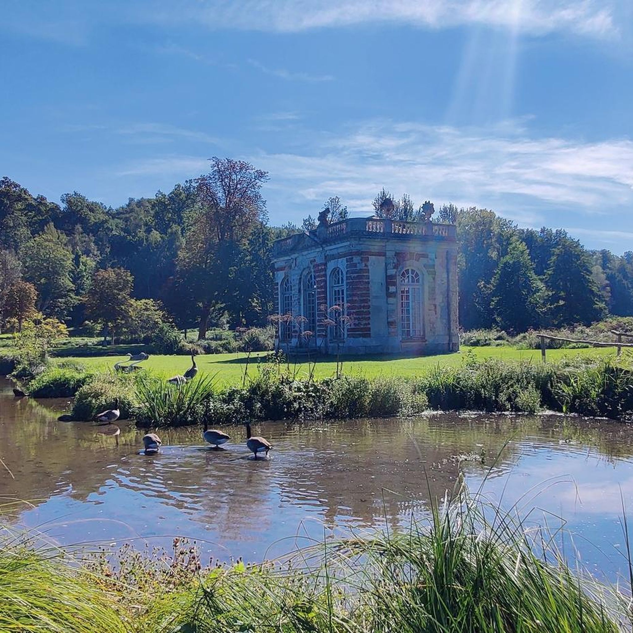
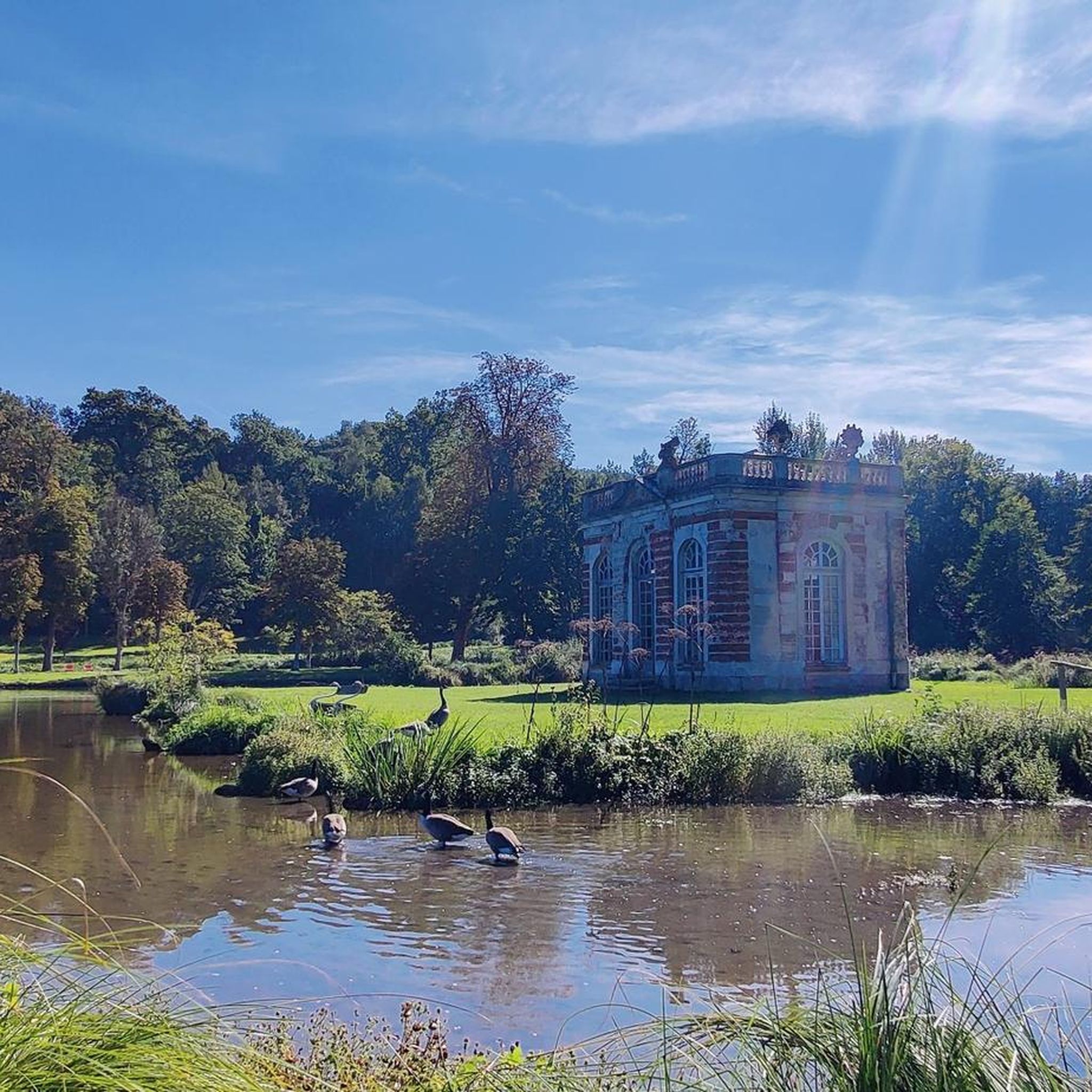
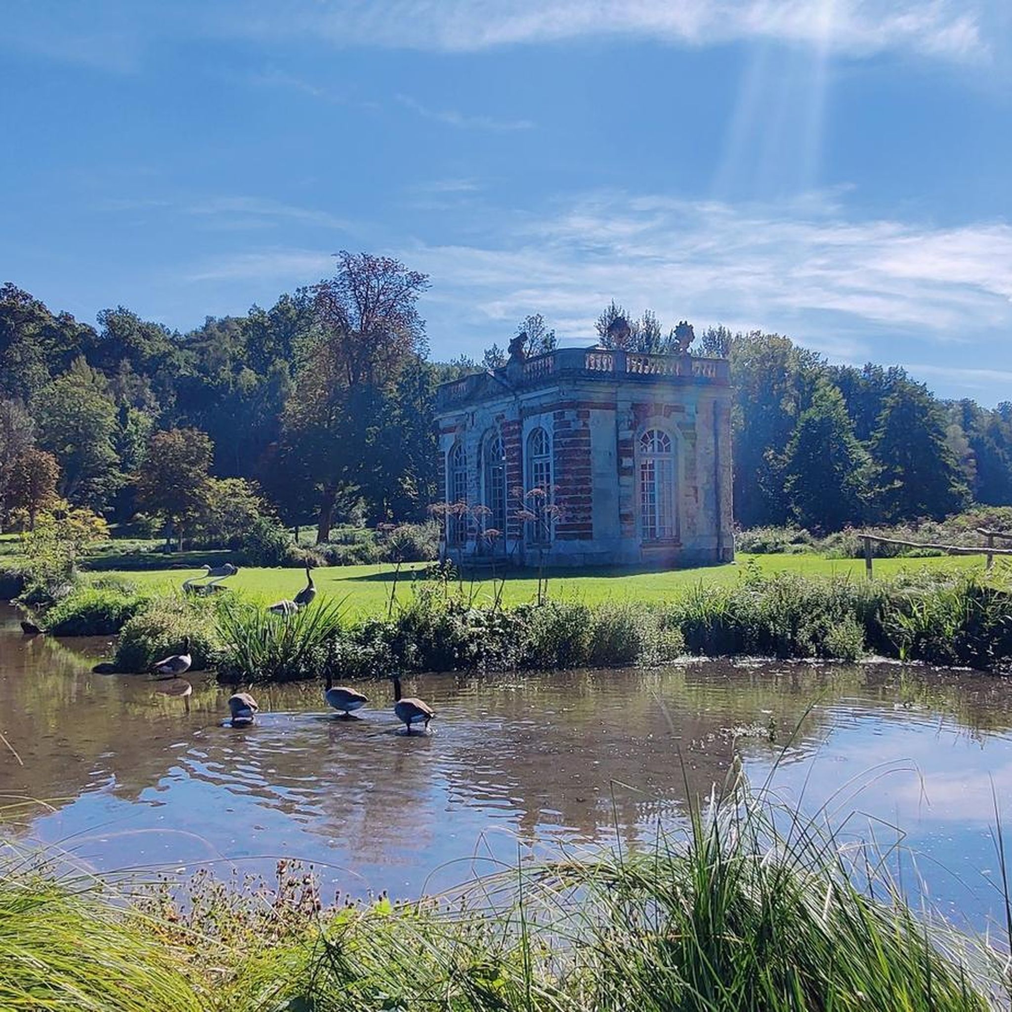
Pretty castle well glimpsed at the heart of a beautiful gravel ride between Choisel and St Rémy
0
0


The wash houses of Chevreuse are history reborn before our eyes. Here, along with the values, there were also tanneries.
2
1
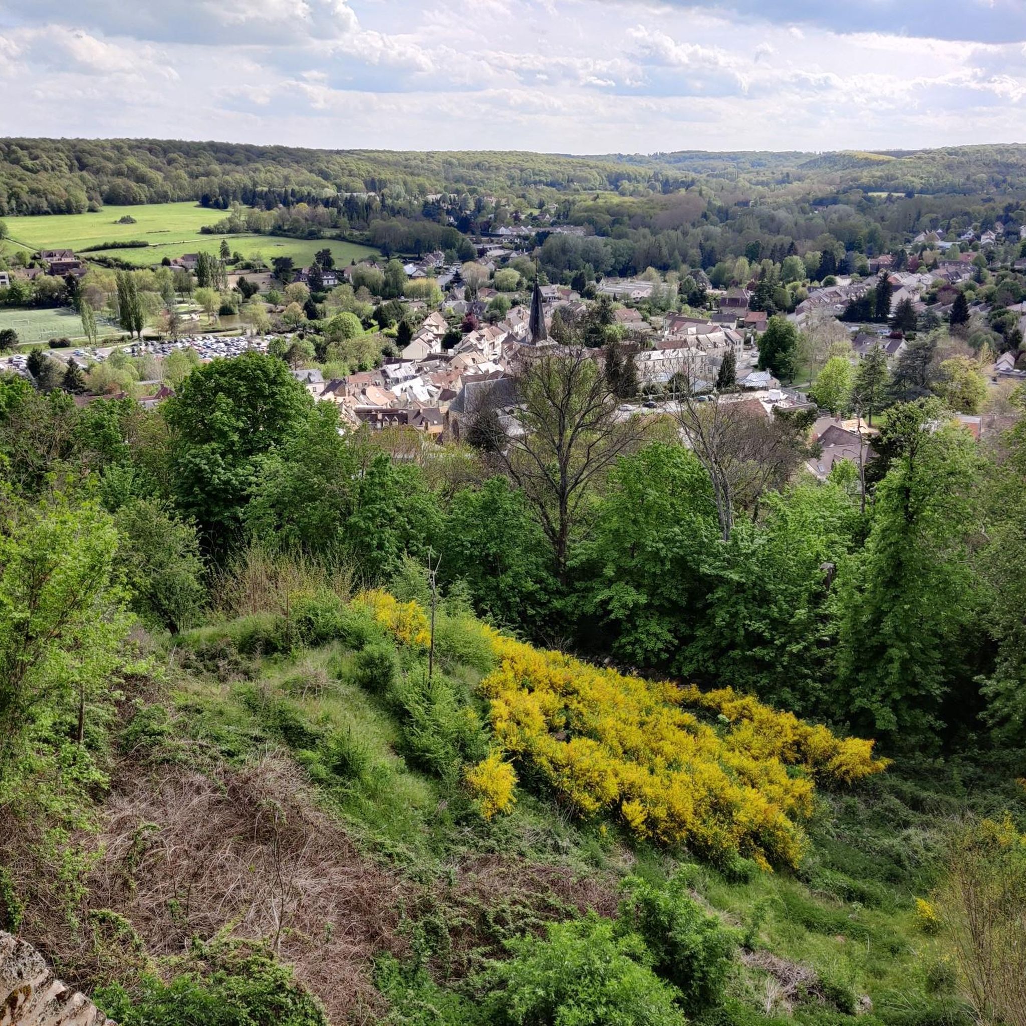
This is why the feudal lords built this castle here. This viewpoint gives us a panorama of the entire valley.
0
0
Frequently Asked Questions
How many hiking trails are available around Dampierre-En-Yvelines?
There are over 35 hiking routes in the Dampierre-En-Yvelines area, offering a variety of experiences from easy strolls to more challenging treks. The komoot community has explored these trails over 2000 times.
Are there easy hiking trails suitable for families or beginners in Dampierre-En-Yvelines?
Yes, Dampierre-En-Yvelines offers a good selection of easy trails. For instance, the Maincourt Washhouse – Maincourt Reedbed loop from Dampierre-en-Yvelines is an easy 3.9-mile (6.3 km) path that explores local marshlands and riverside areas, perfect for a relaxed outing. Overall, there are 18 easy routes available.
What kind of natural landscapes can I expect to see while hiking in Dampierre-En-Yvelines?
The region is nestled within the Vallée de Chevreuse Regional Natural Park, offering diverse landscapes. You'll encounter dense forests like the Forêt Domaniale, picturesque river valleys such as the Yvette, and scenic limestone hillsides. Significant marshlands, including the Roselière de Maincourt, are also prominent, providing habitats for various local flora and fauna.
Are there any circular hiking routes in the area?
Many of the trails around Dampierre-En-Yvelines are designed as circular routes, allowing you to start and end at the same point. A popular moderate option is the Maincourt Mill Marsh – Washhouse at the Fairies' Spring loop from Lévis-Saint-Nom, which is 5.7 miles (9.1 km) and takes you through marsh and forest.
What historical landmarks or attractions can I discover along the hiking trails?
Hiking in Dampierre-En-Yvelines often combines natural beauty with rich history. You can explore the expansive park of the Domaine de Dampierre-en-Yvelines, which surrounds the Château de Dampierre. Many routes also pass by other historic castles like Château de la Madeleine and Breteuil Castle. The village itself features charming old houses and the 13th-century Saint-Pierre church. You might also encounter unique structures like the Maison de Fer, an 'Iron House' that serves as a shelter for hikers.
What do other hikers enjoy most about hiking in Dampierre-En-Yvelines?
The area is highly rated by the komoot community, with an average score of 4.3 stars from over 470 reviews. Hikers often praise the diverse terrain, from dense forests to tranquil marshlands, and the well-maintained paths that connect natural beauty with historical sites like the châteaux.
Are there any trails where I might spot wildlife?
Yes, the diverse ecosystems, particularly the forests and marshlands, are home to various wildlife. The Domaine de Dampierre-en-Yvelines features a 'Sentier de la Faune Sauvage' with observatories designed for discreetly observing local animals such as deer, wild boar, foxes, and roe deer. The Roselière de Maincourt marshlands are also known for migratory birds.
Are there any lakes or ponds near the hiking trails in Dampierre-En-Yvelines?
Yes, several beautiful lakes and ponds are located nearby. You can find highlights such as Étang de Saint-Hubert, Saint-Quentin Pond, and Étang de Hollande, which can be incorporated into or visited alongside your hiking adventures.
What is the typical duration for hikes in Dampierre-En-Yvelines?
Hike durations vary significantly depending on the route's length and difficulty. Easy trails like the Maincourt Washhouse – Maincourt Reedbed loop can be completed in about 1 hour 40 minutes, while more challenging routes, such as the 12.3-mile (19.8 km) La Madeleine Castle – Breteuil Castle loop, can take over 5 hours.
Are there any specific trails that offer views of the valleys or hillsides?
The varied relief around Dampierre-En-Yvelines includes hilly terrains and limestone slopes, providing scenic viewpoints. Many trails wind through these areas, offering vistas over the Vallée du Pommeret and the surrounding wooded hills, especially in the higher sections of the regional park.
Is it possible to access hiking trails in Dampierre-En-Yvelines using public transport?
Dampierre-En-Yvelines is situated within the Vallée de Chevreuse Regional Natural Park, which has some public transport options, though they might be less frequent than in urban areas. It's advisable to check local bus schedules or regional train connections to nearby towns and plan your hike accordingly.
Are there parking facilities available near the trailheads?
Yes, for many popular hiking areas and trailheads in and around Dampierre-En-Yvelines, you will find designated parking facilities. It's recommended to check the starting point of your chosen route on komoot for specific parking information.
Most popular routes around Dampierre-En-Yvelines
Most popular attractions around Dampierre-En-Yvelines

Get inspired with the komoot mobile app


Explore more
Browse the best Hikes in other regions.
